02/02/2025 ICW Day 33 : Upstream Dreams


I thought we had timed the tides perfectly to work in our favor. Wrong! Frequently, the flow of water defies the basic up/down logic of my simpleton mind. We fought it because we needed to: we made a reservation for a hotel in a certain location this morning, so we had to make it to our anticipated destination.

The hotel rooms are situated on a beach that overlooks the ICW… so we just landed on the beach and parked the boat in front of our room. It was that easy.

The manager was very gracious, cracking jokes with me, and then telling about his own kayak journey across Lake Erie. Then he came back later and handed Janet a bottle of wine “on the house.” We washed everything and Janet kindly washed the laundry.

So we are still having a good time, in spite of being trapped inside of 4 walls!
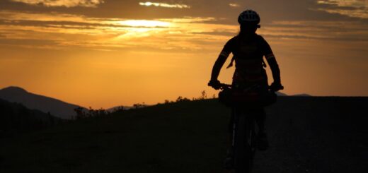
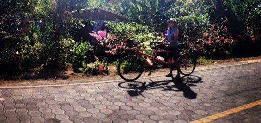
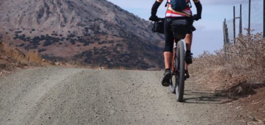
Photos:


This is the fort built in 1742 by the Spanish. The Matanzas Inlet was named for a Spanish slaughter of about 250 Frenchmen who had surrendered to Pedro Menendez de Aviles in 1564. Matanzas is a Spanash word. “Mata” means “kill” and the “anzas” ending means “lots of”. I find some Spanish place names interesting, such as “verdugo” - a street in Los Angeles whose name means “executioner” or “Matamoros” in Spain that means “Kill the Moors.” Not that we had names like this in English, but the new round of renaming stuff softens things even further.

I’m telling you, I think we see AT LEAST 5 abandoned vessels per day. Today I saw a few more than that, and some with only the masts sticking out of the water.

The view from our hotel room… which isn’t too different from the tent.

Ok, WTF? On the bottom, we have the ocean. There are two inlets. High tide at the inlets is in about 3 hours; it’s a flood-tide. So why is the water between the two inlets going to the left? My supposition was that on the left side, it would be flooding in from the left inlet, and on the right side, it would be coming in from that side, making a slack tide in the middle. Nope! I drew arrows for what we experienced instead. There is a question mark in one section because by the time we got there, the tide had passed its peak.

Strava Comments:


Mark G.
Nice to have a hotel break. I really like touching the little arrow on the post because it has a very good little arial view of the travel day; you travelled like a zipper(or paperboy) today. January had had 30 days you could call this day 3b(cause it would be Feb 3)

Mark G.
There MUST BE a way to capitalize on abandoned boats. I wonder when a boat becomes "mineable"

Holly H.
Gary and I were in St. Augustine before. We went to the Lightner museum - the other Flagler museum, the Villa Zorayda museum, and maybe the Castillo de San Marcos fort.

Janet W.
Hi Holly Harris, you and Gary optimized sightseeing in Saint Augustine. Thanks for the suggestions. We have a guide and are looking forward to ‘going out on the town’ today. Where did your mom and Sherwood live in Florida? I think it was on the Gulf Coast but can’t remember the city.

Osman I.
Interesting circuit diagram! 😀. Tide height is an alternating potential. In AC electrical circuits, current is generally not in phase with the voltage potential. Just sayin'...😉. There must be a capacitor somewhere in that circuit. That would be some sort of reservoir that fills and empties as tides come and go. 😆

Holly H.
Mom and Sheldon were from Homosassa.

Janet W.
Thanks Holly Harris, I found Homosassa on the map. We drove close to it on our way to the keys. Your mom and Sheldon, sorry I got his name wrong.

Ride Stats:

Elapsed Time Moving Time Distance Average Speed Max Speed Elevation Gain Calories Burned
07:02:47
hours
06:38:54
hours
37.57
km
5.65
km/h
11.39
km/h
68.00
meters
1,038
kcal

You may also like...

Leave a Reply

Your email address will not be published. Required fields are marked *