Cycling San Diego to Panama
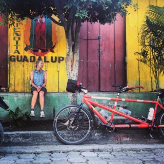
From January 26, 2014 to April 9, 2014, we rode our tandem bicycle from San Diego, CA to Panama City, Panama. Along the way, we discovered many bicycle routes: some of them were superb...
Exploring good routes and bad ones to help you decide where to go
From January 26, 2014 to April 9, 2014, we rode our tandem bicycle from San Diego, CA to Panama City, Panama. Along the way, we discovered many bicycle routes: some of them were superb...
Sequoia remains one of my favorite National Parks. The Great Western Divide Loop is one of my favorite routes. You can start at Crescent Meadow parking lot. You will need to pick up your...
In 2012, I did a tour of Oregon organized by Supertour. The route was planned by Steve Rogers, and it is one of the best cycle tour routes I have ever done in terms...
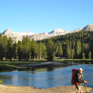
You can backpack from Tuolumne Meadows to White Wolf Lodge as a point to point backpack through the Grand Canyon of the Tuolumne. This trip is a real treat, and can also be done...
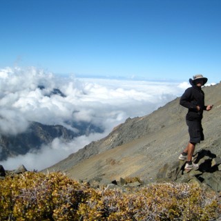
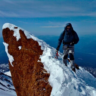
There are a number of ways to ascend Mount Shasta. For the beginner, the best route is decidedly the (intimidatingly named) Avalanche Gulch route. I had climbed that route a couple of times in...
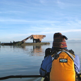
It was a sunny July Afternoon, so Peter, Sylvia, Janet, and I headed out into the bay in our kayaks. We had planned to make the lap around Bair Island, but we knew right...
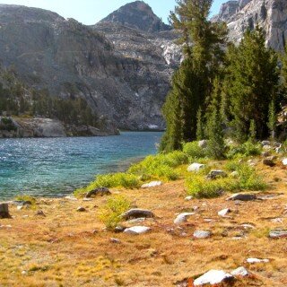
Rae Lakes loop is one of the most popular routes in the Sierra. As such, I won’t go into too much detail about it, as there are plenty of resources to guide you...
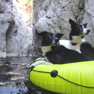
The Arroyo Seco Gorge has some stunning terrain if you are willing to creek walk / swim. The narrows section of the route is unbeatable, and the cool water is refreshing from the heat...

When is a carb not a carb? The great fructose experiment.
August 4, 2023


My Type 1 Diabetes Diagnosis Story
May 31, 2021


Type 1 Diabetes FAQs – What food do you miss the most?
November 12, 2018

Type 1 Diabetes FAQs – You Can’t Eat That, Right?
November 3, 2018

Symlin for use in Type 1 Diabetes
October 30, 2018


August 22, 2017

August 23, 2015

Ionian Basin Traverse and Tehipite Gorge
July 17, 2015
Type 1 Diabetes FAQs – What food do you miss the most?
November 12, 2018

Little Sur River Fastpack Exploration
November 14, 2015

February 9, 2024

Utah Bikepacking – All The Routes
September 30, 2021

Bikepacking Death Valley – Valle de la Muerte
February 12, 2021

Wandering the West Bikepack trip
October 23, 2020

October 10, 2019

October 9, 2018

January 12, 2018

December 8, 2015