Backpacking Cottonwood Lakes, Crabtree Pass, Siberia, and Funston
I’ve been meaning to start a trip from the Horseshoe Meadows / Cottonwood Lakes Trail head – which I’d never done before. With the exception of the trip to Funston Lake, this route follows established trails and use-trails… so it isn’t as useful as a guide for adventuring. This route is firmly in the “Class 2 minus” camp, making it an easy route to follow if you just want to do something light off-trail. My favorite part of the route was the ascent up Old Army Pass, as well as the section from Sky Blue Lake over Crabtree Pass and down to Upper Crabtree Lakes. This was all fairly easy, but scenic. The route to Funston Lake is a slog, but once you’re on top, the terrain is extremely easy to traverse. Although it isn’t as dramatic in that region, I kind of liked the flat-ish open scenery.
This is the map for the entire route discussed in this post. To Export GPX files, click on the three horizontal bars in the upper right hand corner of the map and select Export selected map data... To see full screen, click here (opens in new window)
I decided to go on a 5 day backpacking trip starting at Cottonwood Lakes. It would be reduced from 5 days to 4 days because several of the off-trail passes were easier than I expected.
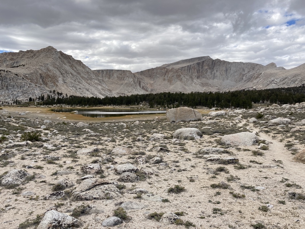
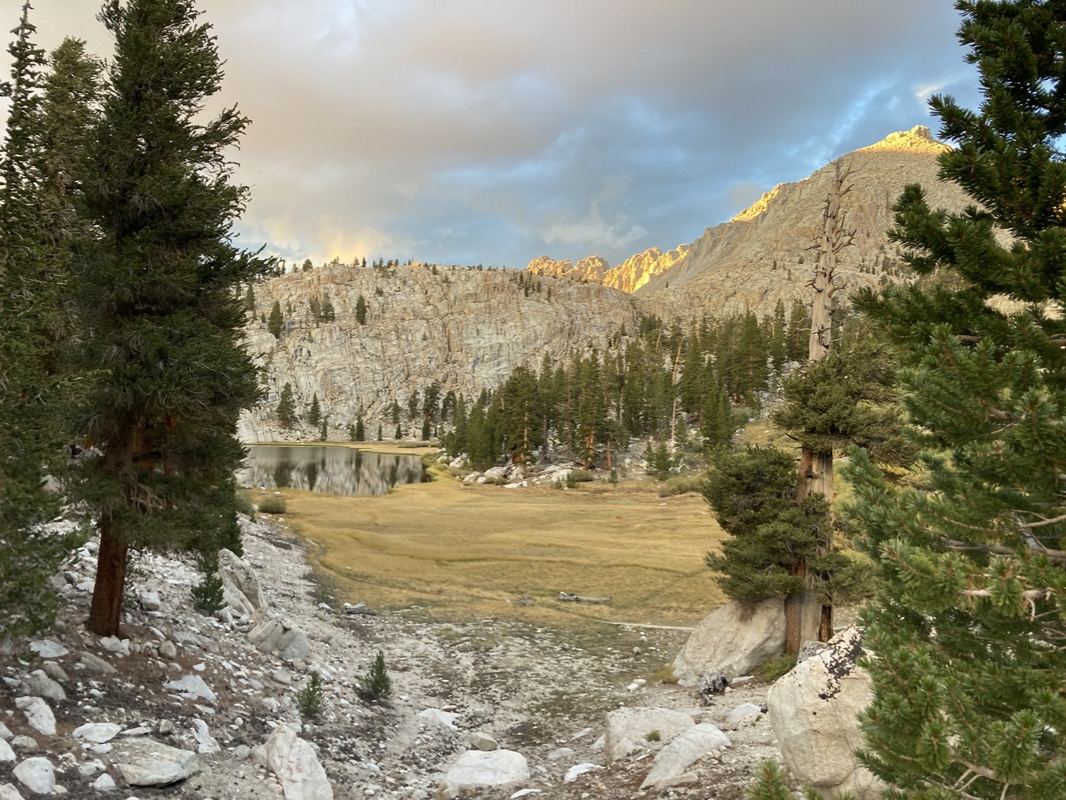
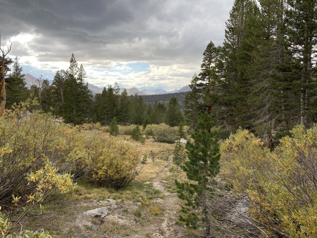
This view is in the Cottonwood lakes area just after you exit treeline.
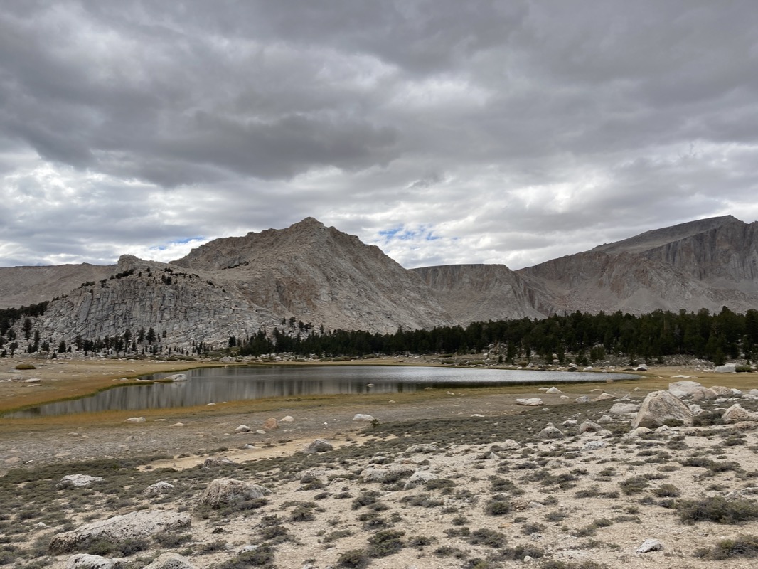
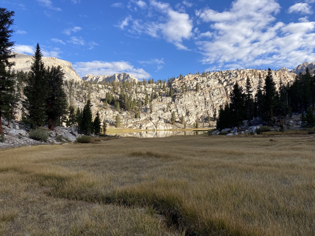
The Cottonwood lakes are numbered 1 thru 6. I did take a walk towards Cirque lake (just beyond this lake pictured). Normally I like to visit all the lakes, but since this was a fishing trip and Cirque Lake has no fish, I decided to go straight.
This is Cottonwood lake #4. They have a 2 fish limit in lakes 1-4…. I think they may be over fished. So, I decided to cut the barbs off of one of my hooks and just fish for fun. I saw no fish, nor evidence of fish in lake 4…Lake 5 doesn’t have the restriction, but I fished there with barbless hooks and saw nothing. It is still fun, though. I like how my mind becomes very focused on just one task. It’s a really neat escape for me: thinking hard of where a fish might hide or be attracted to.
I decided to go over “old army pass.” There is still a trail over this pass. It looks formidable from below, but as you work your way up, the use trail keeps going.. so it ended up being pretty easy. Some great sun moved in, and a few hailstones. Made for great lighting.
This is what the old army pass trail looks like. Not bad!
ImageImage
Once over the pass, a brilliant evening awaited me. It was super enjoyable, and I wouldn’t see another person from the Cottonwood Lakes until I got the the PCT the next night.
After a long descent, I came to Soldier lake. Camp was a ways behind me (because there was a nice bear locker).. so I tried fishing here too until it got too dark to see. I was using the barbless hook still because I wasn’t hungry yet. I left the car with 3.5 pounds of food – so with the original plan, that would have been 0.7 pounds of food per day. A pretty light haul, but if I caught fish, it would supplement the calories.
I went back to Soldier Lake in the morning for some more fishing. No fish, but still fun. This area is kind of tricky to navigate because it is quite marshy or choked by willows. Eventually I had to go on the left side of the like and scramble around the far side you see at the end of the lake.
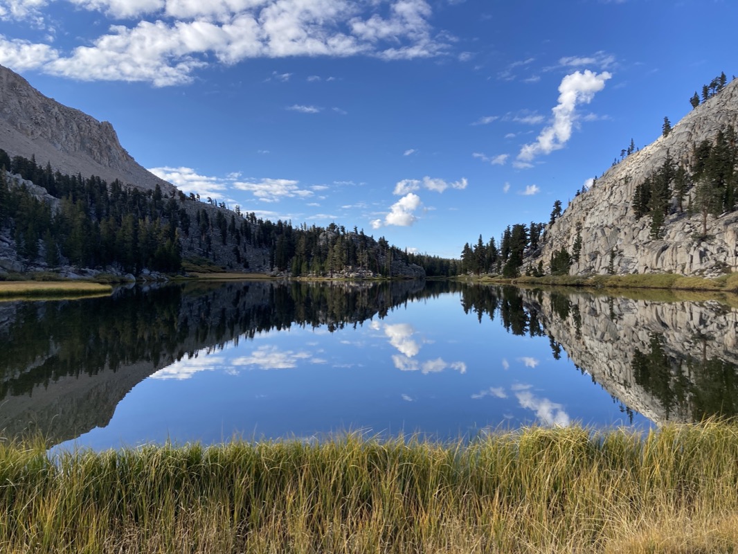
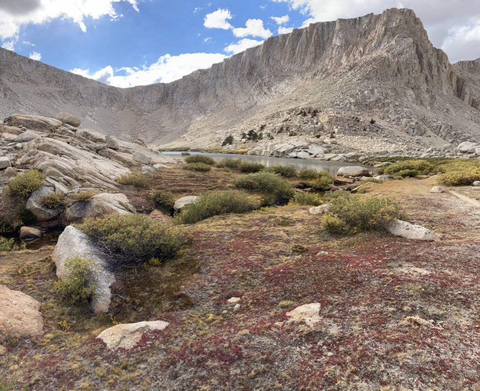
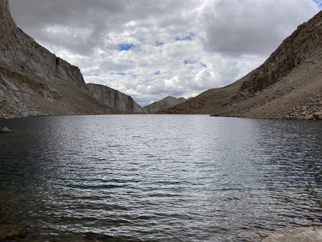
Soldier lake from the other side. The next lake in the chain is going to be called “Sky Blue Lake” – however I think that (at least in this shot), this is going the be the bluest sky colored water….
Here is sky-blue lake. I was hoping I’d find some fish in this one.. but again no luck! No evidence of fish, jumping, lurking on the edges or hiding behind rocks. In fact, all the way up the Western side of this divide, I would not see a single fish. Once you get over Army Pass, there weren’t any people that I saw, but I was on a “use trail” that I think people use as a back way to gain access to Mount Whitney. So maybe the lakes are “fished out?”
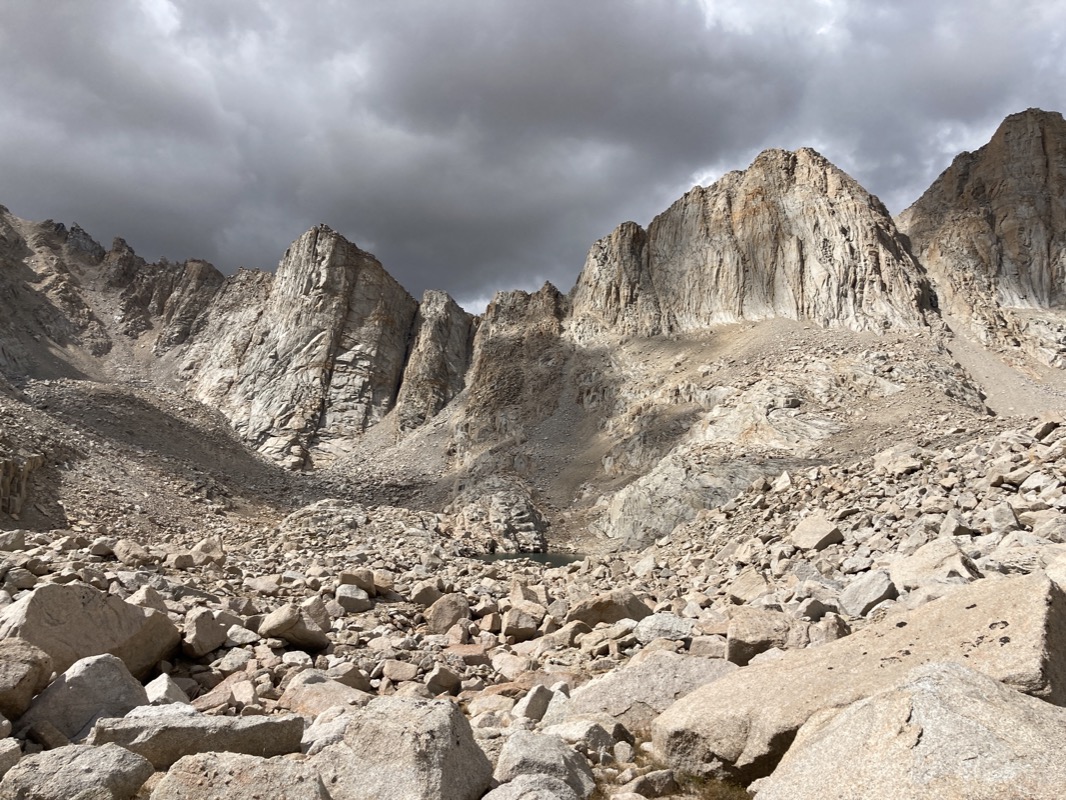
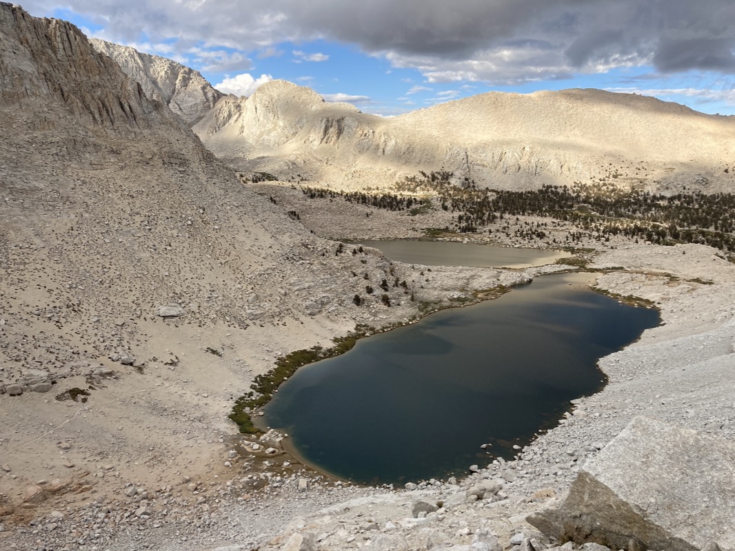
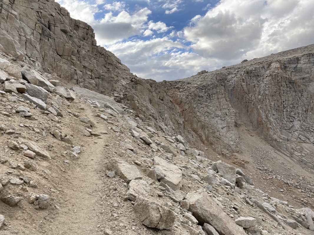
Looking back towards Crabtree Pass. I had been a little worried about this pass, but it turned out to be easy class 2 the whole way. As I descended, another light hailstorm came down and I had to put on my plastic bag poncho (which now has some holes in it). Better than nothing, though!

Went to the beach at Crabtree lake. Those footprints are mine. But, I did see coyote footprints (and plenty of scat the last couple days). No bear prints anywhere.
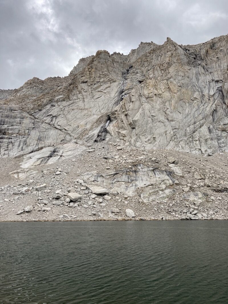
Twice I heard a loud crashing noise that filled the valley with echoing sound. I thought it was rockfall – but when I looked up, it was ice cascading from this place across the lake. Can you see it? This ice must be from last winter because it hasn’t been cold enough to form this amount of ice – even at these elevations. Kind of cool to see the huge chunks of ice explode on the rocks!
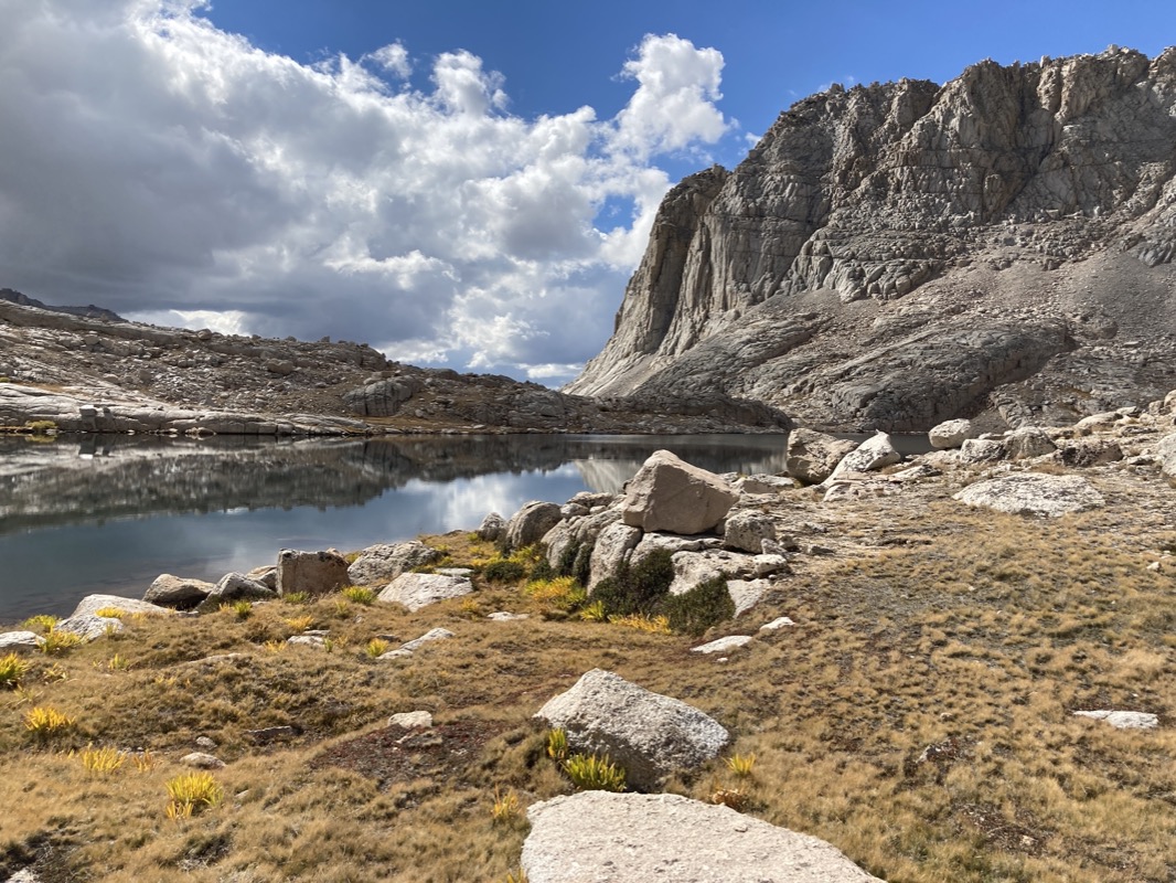
Even though there is not an official trail over Crabtree Pass, for most of the way, there is something decent to follow. It ended up being a great way to get into the other side of the divide.
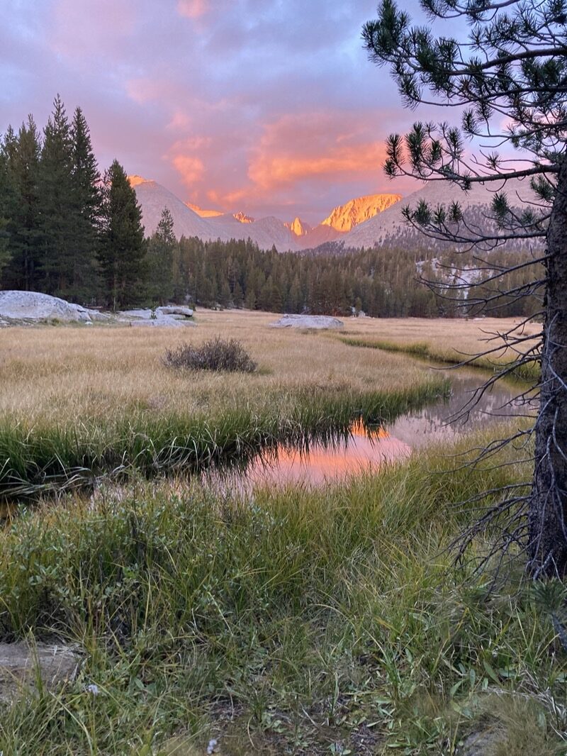
didn’t bring my good camera… just the iPhone SE2… and with that phone there doesn’t seem to be an option to turn off the HDR setting. As such, it produced this fakey looking photo of the mountains. Oh well, it’s #nofilter, really.. at least no filter by me, even if it is some funky filtering by the camera. This was a great fishing spot where I quickly caught the limit and enjoyed sneaking around trying to hide from the hungry (and albeit small) fish. This is where I would camp the night too – but the bottom of a valley in a meadow is the coldest place to sleep. It was a good spot because it had a bear locker.
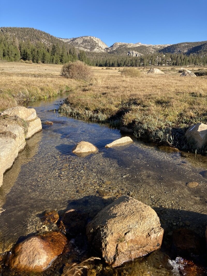
Across the valley, you can see the peaks surrounding the Kaweah Basin. But it’s not simple to get there from here… you have to dip down deep into the Kern River valley and then climb back up if you want to get to that side. It’s not trivial.

Last night, I camped near the bear locker, and met Sander. He’d be the only person I would see on the West side of the divide formed by Army Pass / Cottonwood pass. He had been hiking most of the PCT. He is from Holland, and is taking a sabbatical. He started the trail July 6, and had to skip a big chunk of Oregon due to the fires. He saw a bear yesterday: it was tearing up a person’s tent – they had left their backpack inside with food in it. He tried to scare the bear away, but it completely ignored him. He’s ready to be done with the PCT, so he will probably skip the desert section – and he has a trip to South America and Thailand planned before he goes back to work. He says that in Holland, they have an employment shortage just like we do here, so getting a job will be easy next Spring. He said he saw a guy with a super light pack: 5 days of food an it weighed 35 pounds. Sanders’ pack weighed 65. I then sheepishly told him that my pack with 5 days of food weighed 13.5 pounds! And that is including fishing gear and a stove! I can’t help but wonder what these people are carrying!
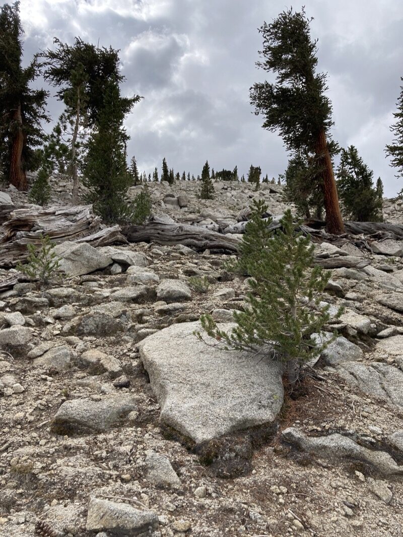
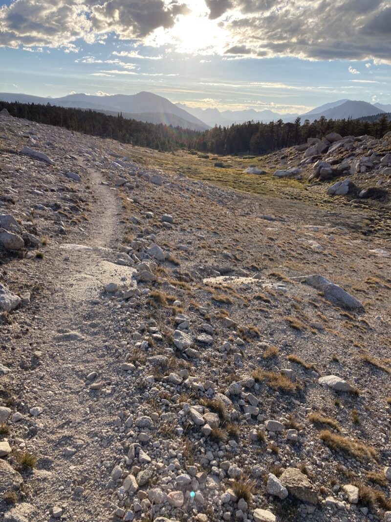
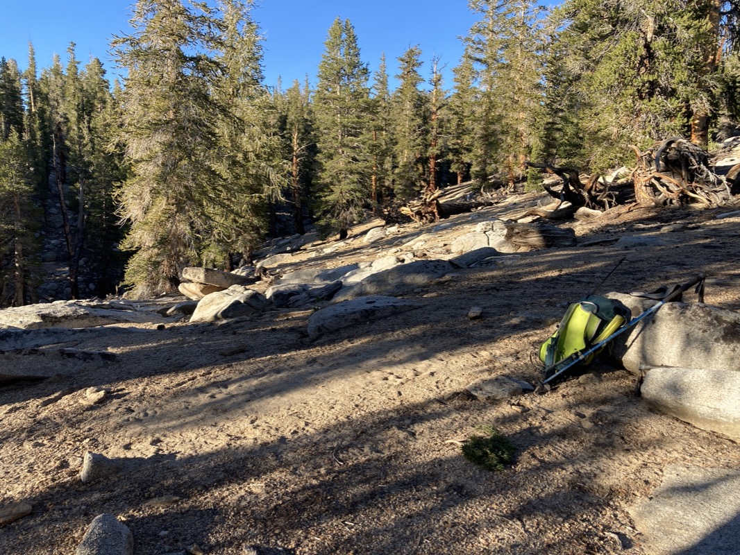
I devised a route to Lake Funston. I kind of wanted to see what it was like out there. It turned out that this was not technically challenging (See photo).. just a steep and slow slog up this nose of a formation. Once at the top, it was easy peasy – like walking on decomposed granite. The fact that these off-trail sections were so much easier than expected allowed me to go 20 miles today instead of the anticipated 10.
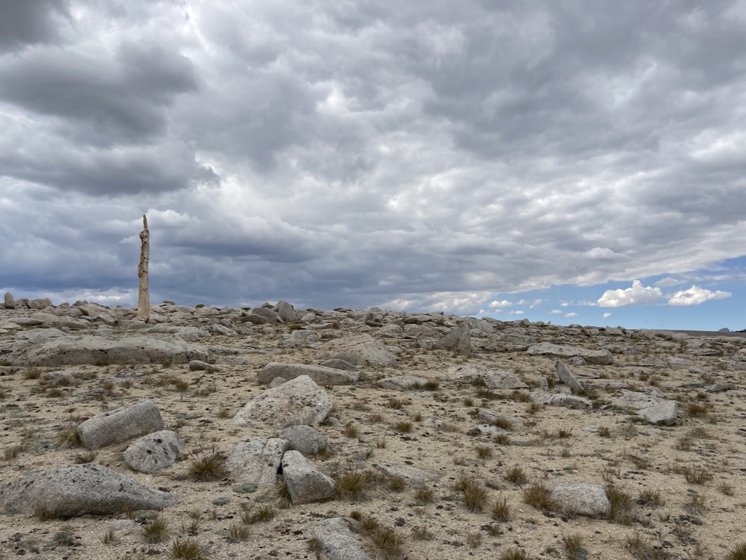
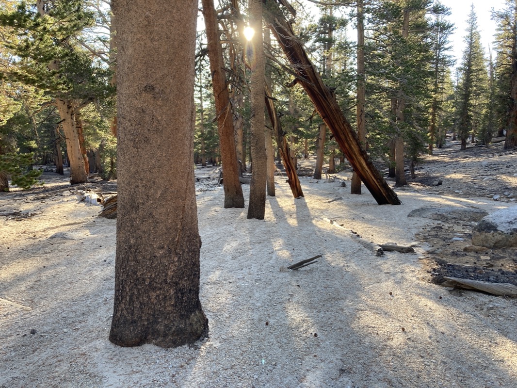
I imagine this poor tree died of loneliness.
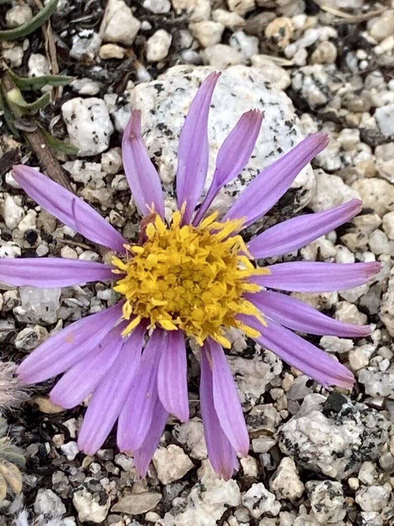
I think it is a Sierra Fleabane. What do you think?

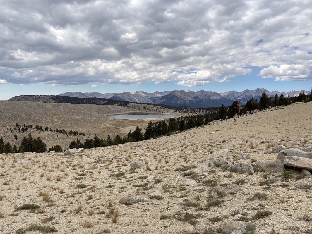
Funston Lake.
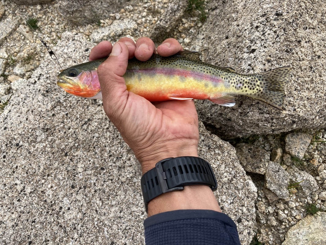
After not finding fish in some of the places where I read online to expect fish, I then found a great spot where I caught 4 beautiful golden trout. In fact, 3 of them were too big for the gear I was carrying – even on the highest setting, the clutch mechanism couldn’t reel them in. I had to grab the line directly and pull them ashore. One cleverly flopped back into the water. This was fine. Finding these beautiful fish was a highlight of the trip!
Oops! Forgot to take a tent picture, but this is where I camped. I arrived with only 250ml water. Normally I find water everywhere in the Sierra, so I only carry a 0.5L bottle. That is plenty.. but this must have been an exceptionally dry winter in this part of the Sierra – tarns and arroya were all dry. But I wasn’t too thirsty, so decided to camp on the side of the mountain (warmer) than down in the meadow. That no water bottle training in 100F heat paid off; I felt fine without the water. As I went to sleep, the only sound I heard was the croaking of a lone 🐸. There must be water nearby somewhere!
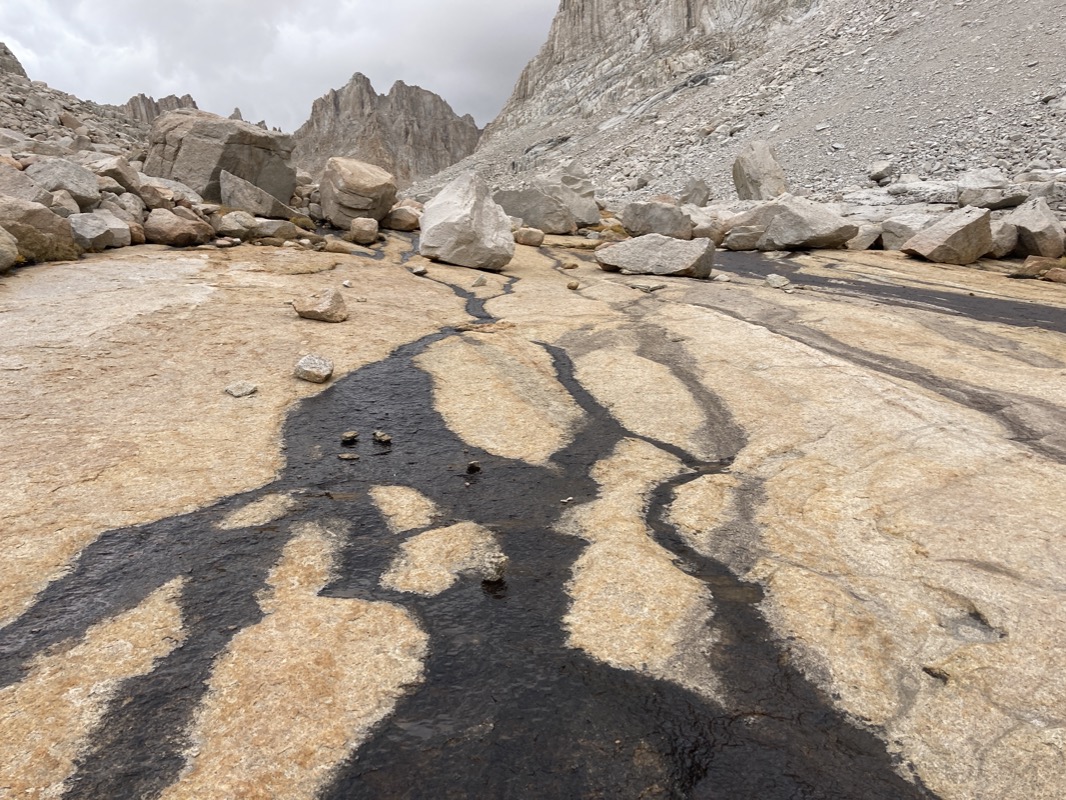
This is a sand flow… it looks like a huge storm came through here and a torrent of sand/gravel washed down the hillside. It obliterated the trail, but that didn’t matter much because it was easy terrain. And thanks to GPS, it’s easy to find your way.
Last night, I listened to this podcast:
https://overcast.fm/+8QzfluWuQ
It’s a Radiolab podcast about Killer whales and Humpback whales. It sent my mind swirling with thoughts. If you listen to it, I’d love to hear YOUR thoughts on Humpback whales. Are they the guardians of the sea or what!?!
🐋
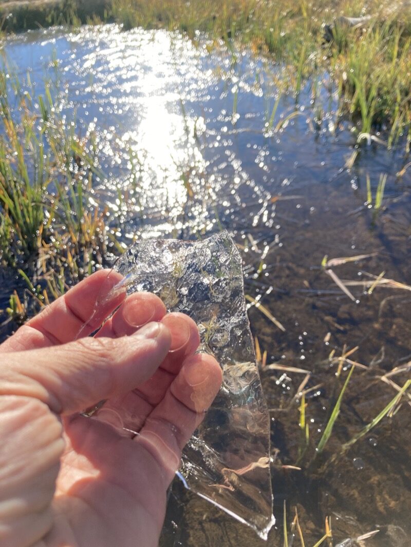
Im glad I camped high; it wasn’t cold at all. Meanwhile, when I dipped to the meadow in the morning, I was shocked to find ice in the water! I figured it would be colder in the low meadow, but not that much!
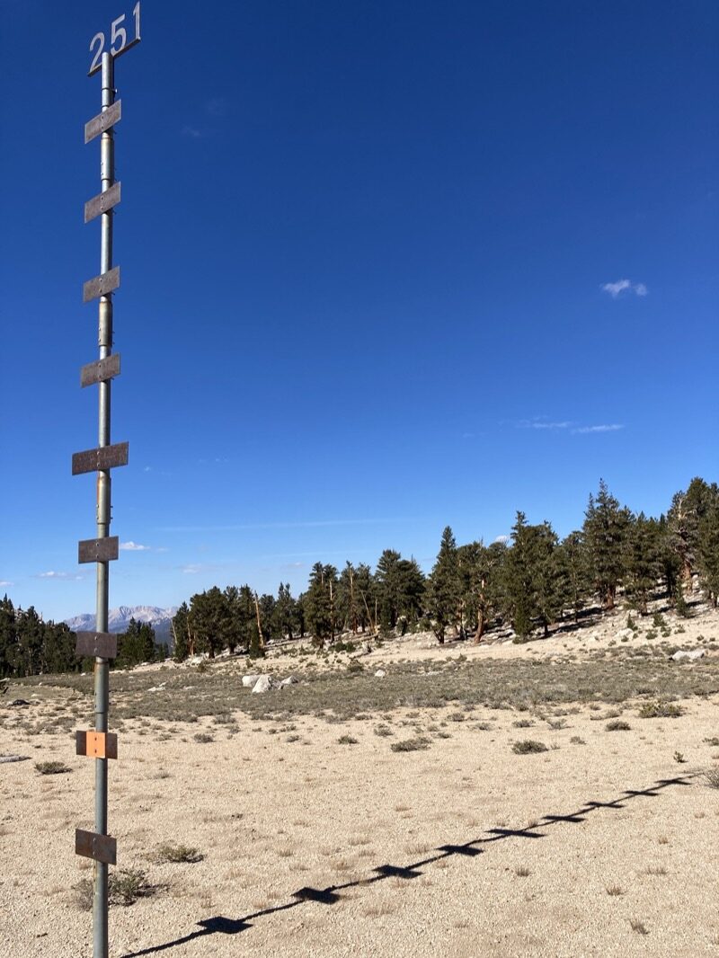
What do you think this is? I have no idea… but it’s in the wilderness where you don’t expect to find man-made objects.
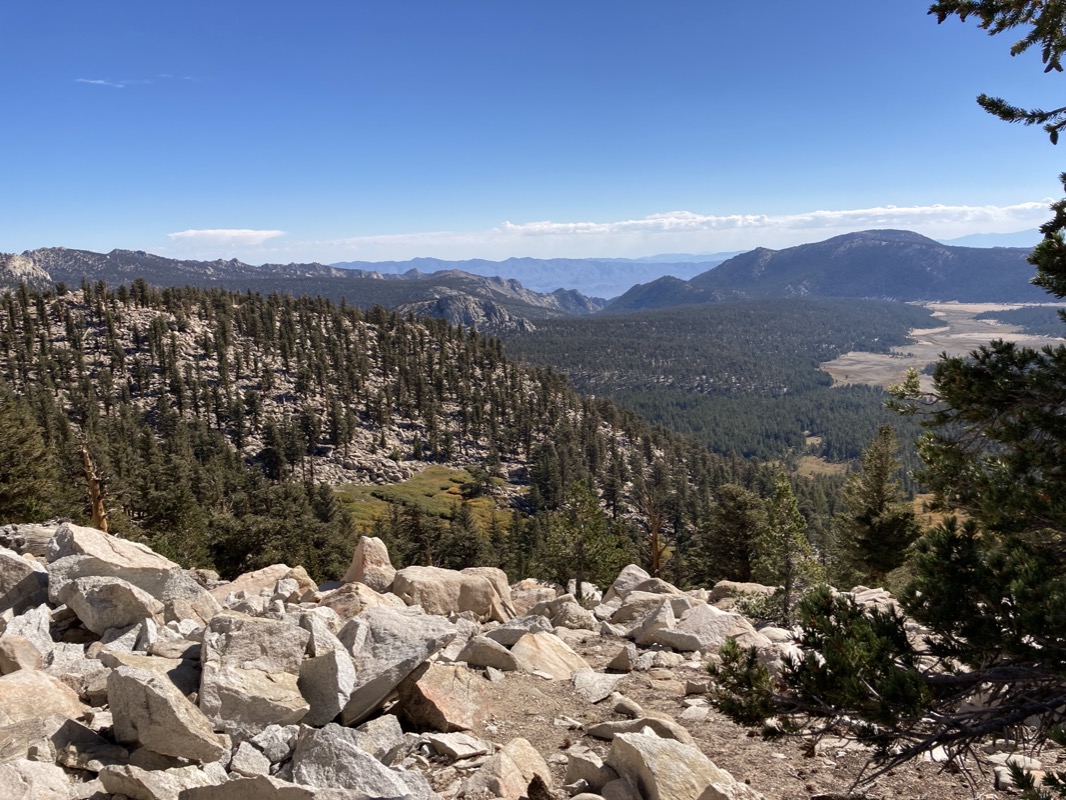
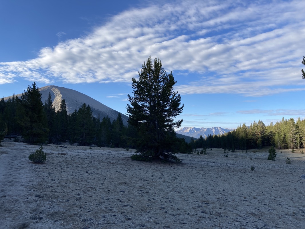
Looking back toward the parking area from Cottonwood Pass. Last pass of the trip! Happy to be coming home… but always sad to be leaving too. The weather is still good up here, so I always think I should stay longer.
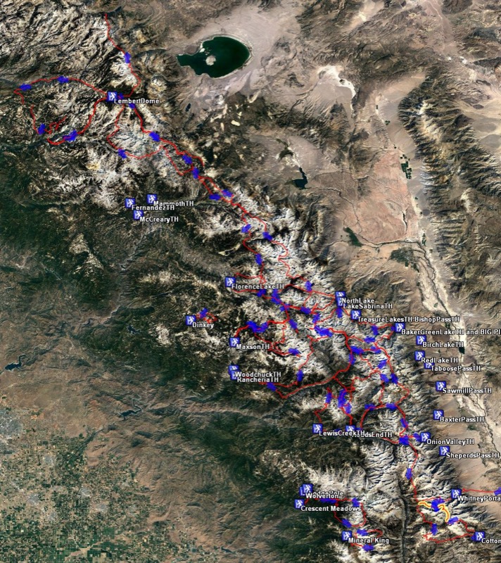
I have a loose goal of seeing all of the high Sierra from Mono Lake latitude in the North to Kennedy Meadows latitude in the South. I’ve been keeping records for several years now, and here are the tracks overlaid. The goal is to see the “whitish” areas on the map. That’s the high stuff. Also, the plan isn’t to cover every inch, but instead to be at a vantage point where you will have seen every high point from at least one angle. It’s a loose goal, but I just discovered a big missing chunk in the South. The Kaweah Basin and the Tablelands are both areas with difficult access (not many trails, and the existing ones don’t go too far into the high zones)… something fun to think about for next year! **Or This year!


My wife and I climbed over New Army pass 0n the way to Kern River. It was a heavy snow year and the bugs in the meadows were overwhelming. We hiked south with the intention of leaving over cottonwood but… we spent a bug free night as we looked out over the terrain that would lead to Funston. Since we were already there – to Funston we went. One of my favorite places. Spent a couple of nights in the Golden Trout wilderness and returned over cottonwood. Spent about 10 days total.
Great pictures and recalled good memories. Thanks