Bicycle Touring Across the USA
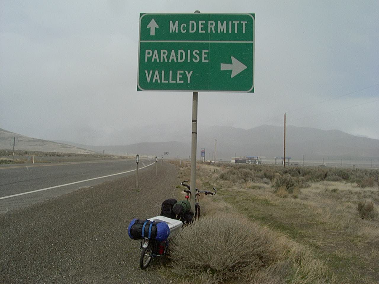
From March 31, 2001 to September 14, 2001, I rode across the United States via Canada. I took a 2.5 month hiatus in Colorado to work at Ajax Bikes in Basalt. Along the way, I reached sub zero temperatures as well as humid triple digits. This entry is presented more as an archive of the trip than a route guide. I took the trip before I was taking detailed route notes, and as such, my route advice would not be of much use; just gathered from distant memory. In general, the route from West Glacier, Montana all the way to Jasper was spectacular. I ended up hitch hiking on the way South from Edmonton because the scenery was quite monotonous! Another special region was the Bighorn Mountains in Wyoming. This area was short, but the ride through Yellowstone across and over the Bighorns was quite nice. Many people comment that Kansas is very boring to drive through, but my experience on a bike was very positive. People were very friendly, waving from their cars. Also, people drove slowly, and you could camp safely in city parks – just let the local police know ahead of time. This came together to make Kansas one of the better states for cycling! As a big generalization, my favorite states for cycling were: Montana, Colorado, California, Idaho, Kansas, and Missouri (mostly because of the Katy trail). Although I had been on several bike tours before the cross USA trip, I really solidified my gear on this journey. I learned that you really only need two panniers and a handlebar bag. This is even more true today when the available gear is smaller and lighter. Gear that makes a big difference today in terms of size and weight: NeoAir Xlite pad This pad packs much smaller than the closed cell pads of 2001. Also very important are lightweight tents. Big Agnes Fly Creek Tents (Two Person or One Person) are considerably smaller than the Sierra Designs tent that I was carrying. Another big space saver is a sleeping bag of appropriate temperature. If you want to skip the GPS track, and just see the Pictures, Click here. Otherwise, GPS tracks are here
This is the map for the entire route discussed in this post. To Export GPX files, click on the three horizontal bars in the upper right hand corner of the map and select Export selected map data…
To see full screen, click here (opens in new window)
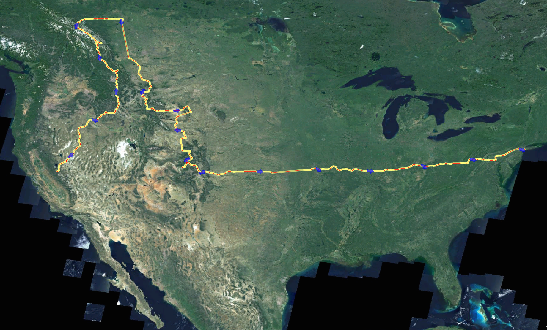
My Bike Tour Route across the United States
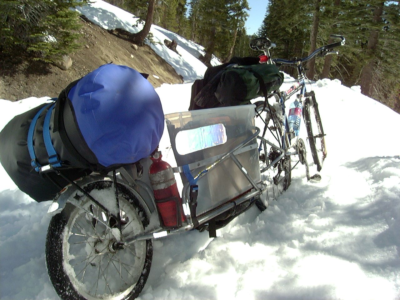
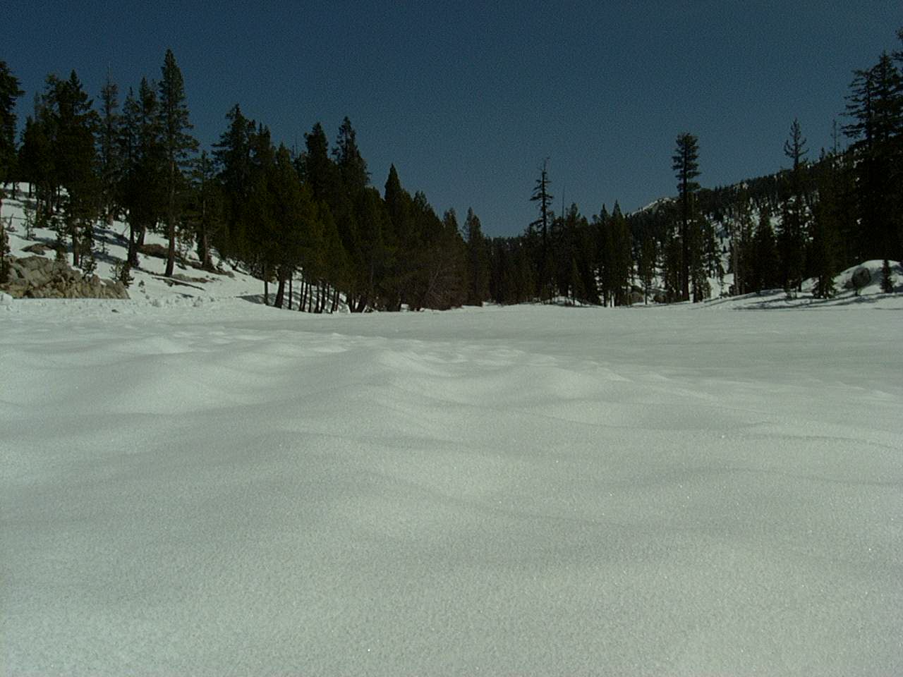
Walking over Ebbets pass in the snow.
Yup, that is Lake Alpine on HWY 4
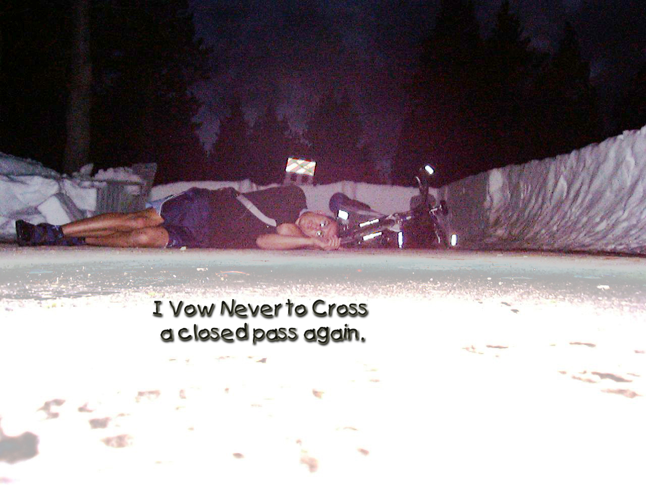
I walked over Ebbets pass in the snow. To my relief, they had finished clearing the other side!
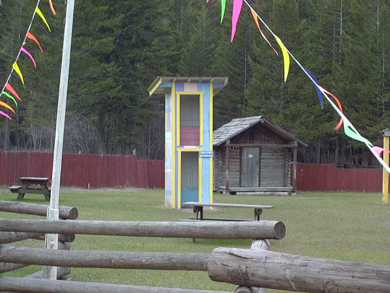
Markleeville
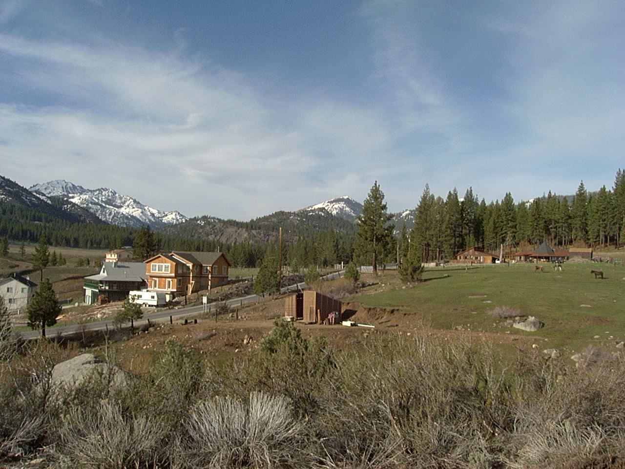
Carson City in the spring
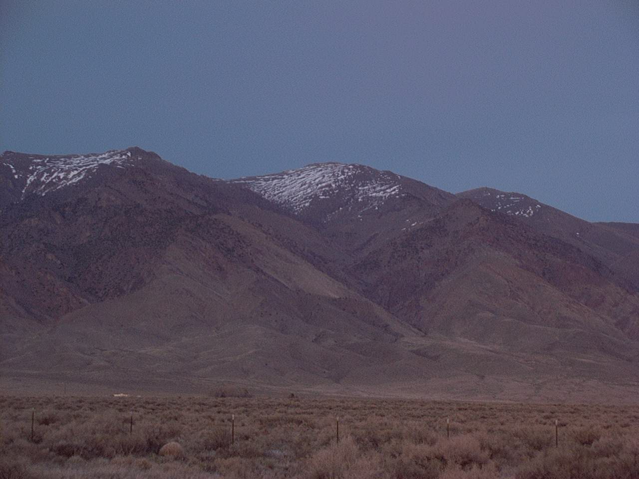
Near Burns, OR
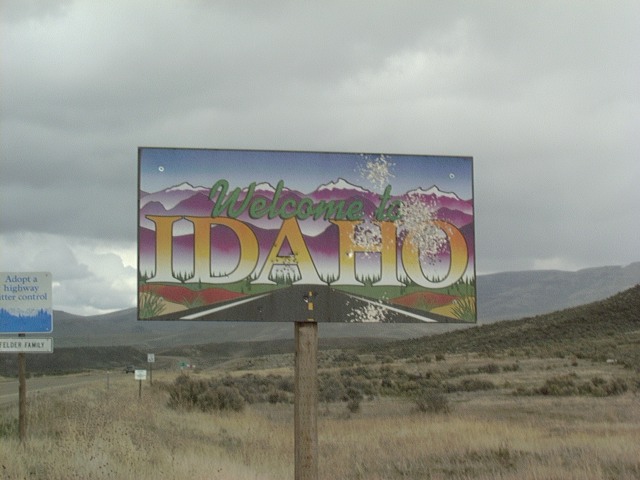
Near Marsing, ID
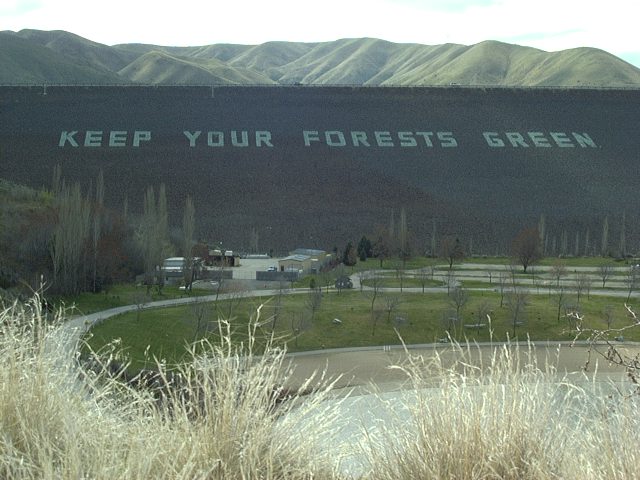
Lucky Peak Reservoir Dam
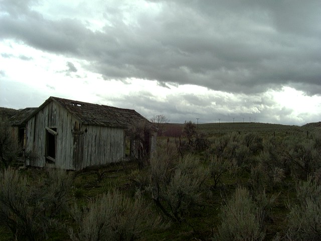
Idaho City
From Lacey’s grandparent’s home in Idaho City
Warm Springs? I wish. Near Stanley, ID.
Near Mores Creek Summit
Near Beaver Creek Summit
Near Beaver Creek Summit
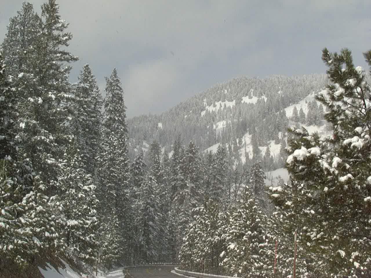
Near Beaver Creek Summit
Near Beaver Creek Summit
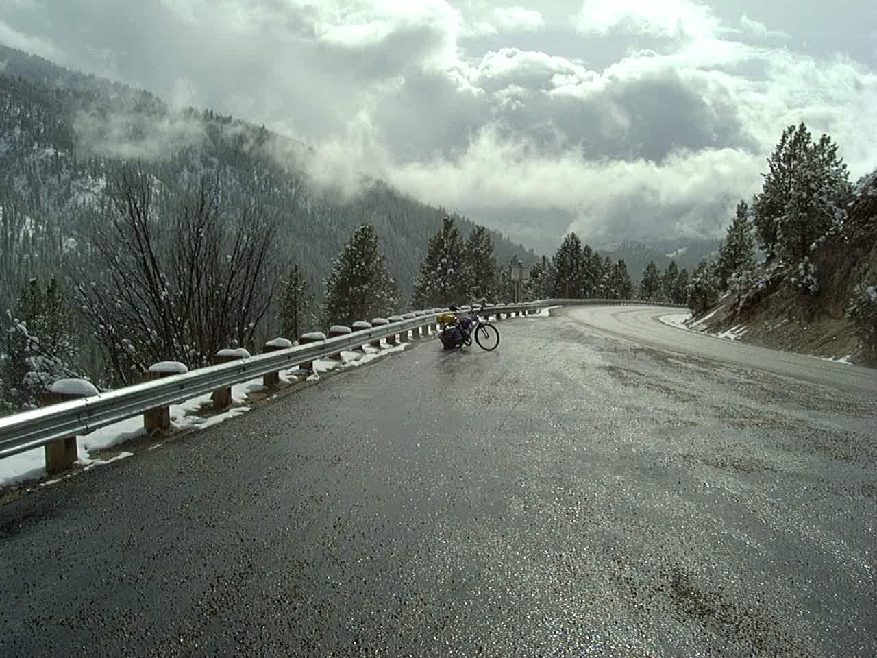
It got so cold that the water would splash up from the road and freeze on my bike. Eventually, the chain froze to the point that I could no longer pedal. Had to stop for the night in Stanley, ID.
Riding East/North on ID 75 is a hoot! You follow the Salmon River, where there are a few hot springs just off the road… and the entire section is a gradual 150 mile downhill!
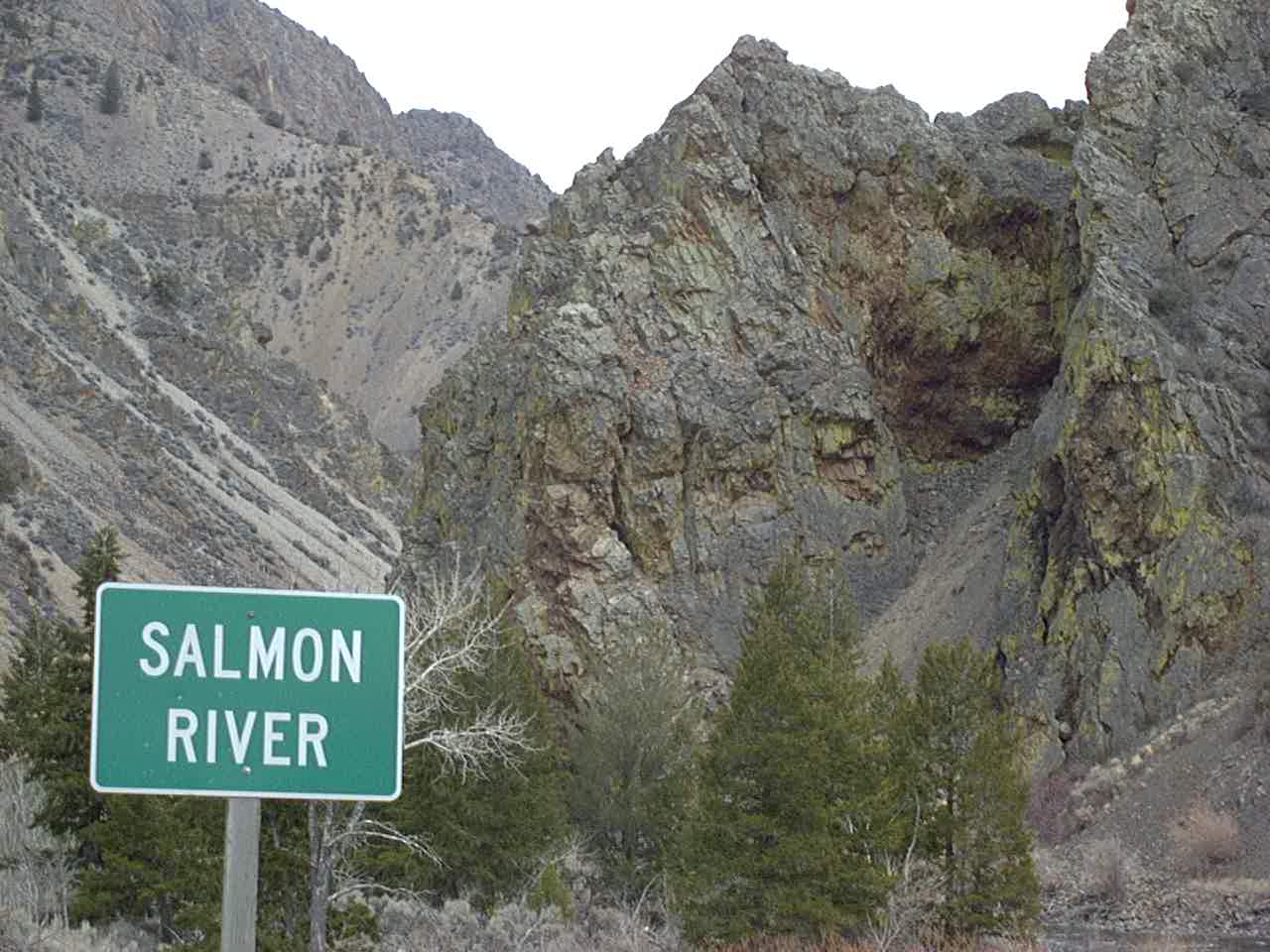
Riding East/North on ID 75 is a hoot! You follow the Salmon River, where there are a few hot springs just off the road… and the entire section is a gradual 150 mile downhill!
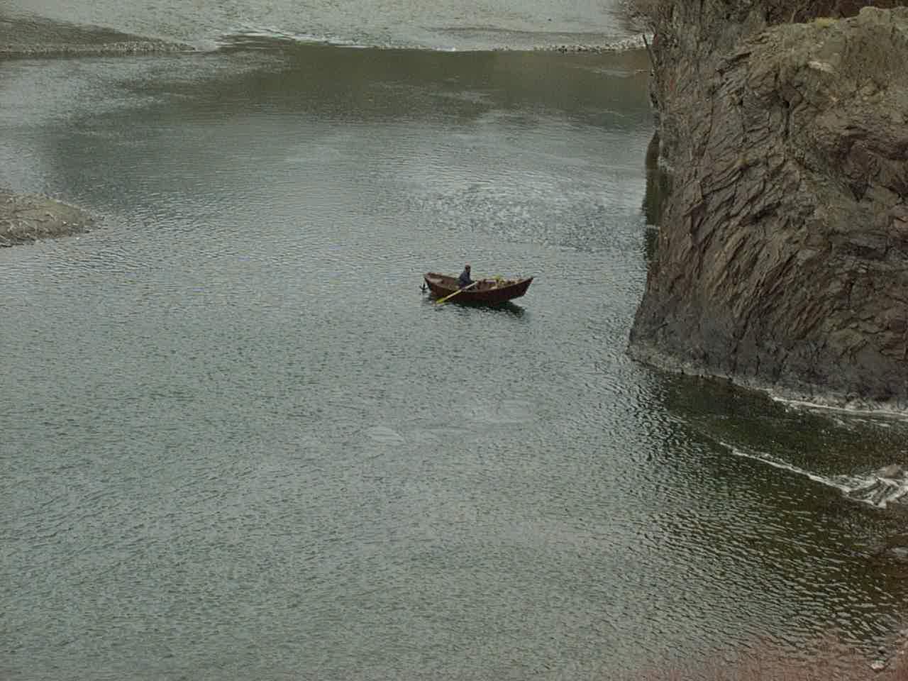
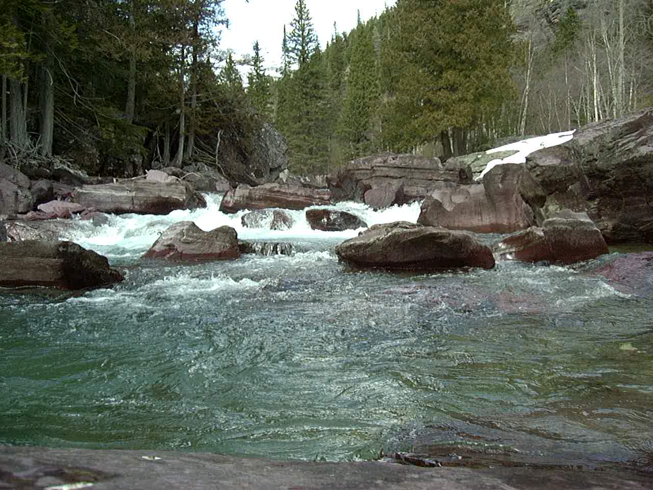
Salmon River
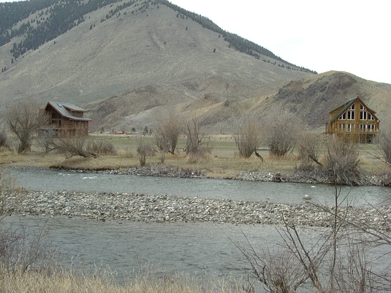
Between Salmon and Challis, ID
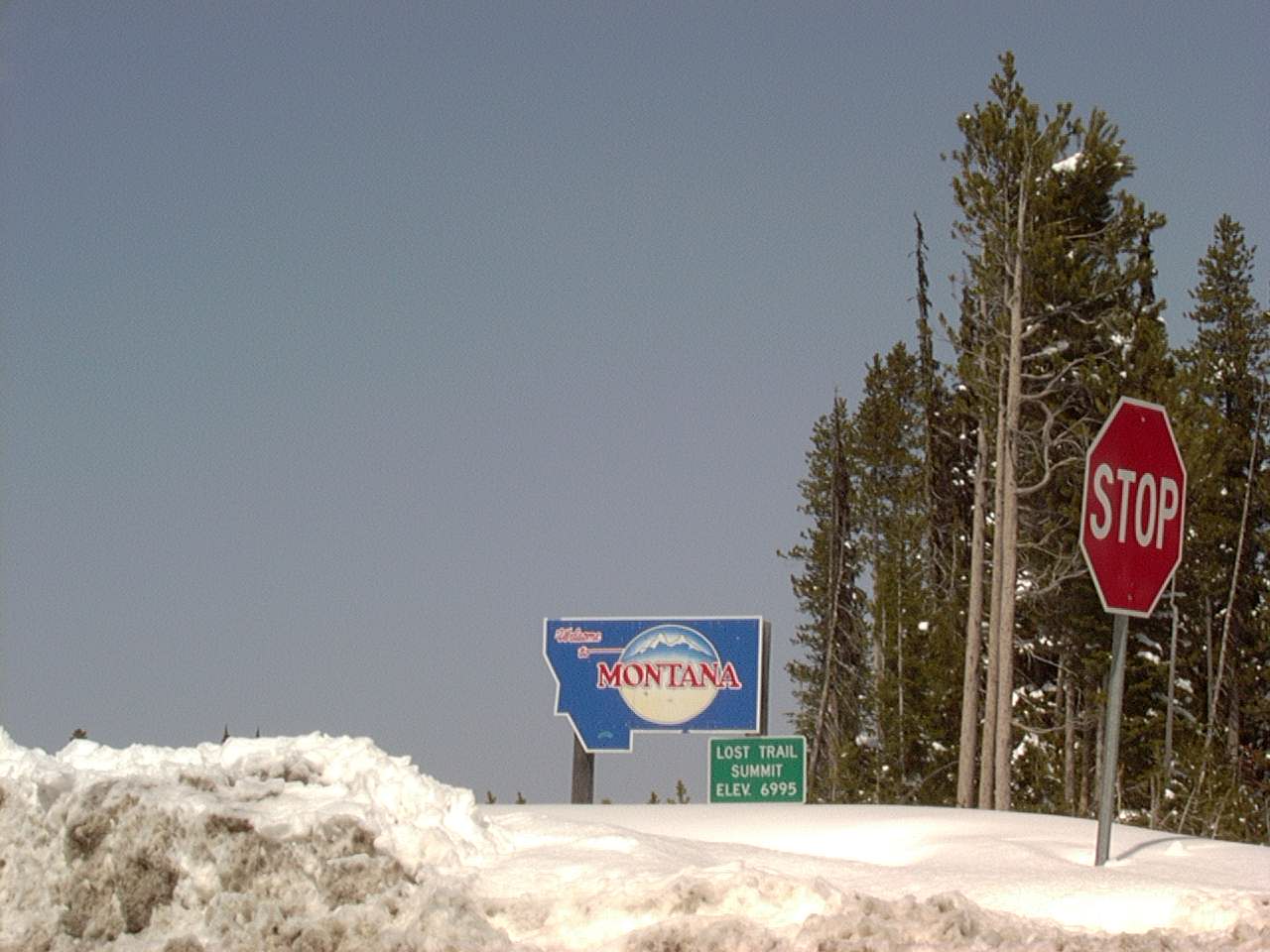
Entering Montana at Gibbons Pass (near Chief Joseph Pass)
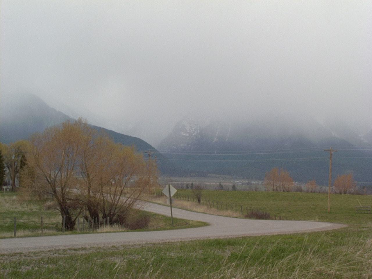
Near Polson, MT
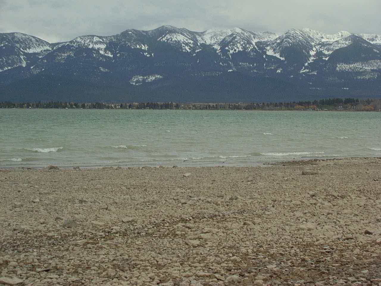
Flathead Lake, Montana
Near Columbia Falls, MT
View along Glacier National Park Road approaching Going to the sun road
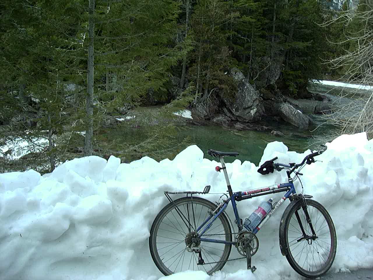
Snow bank in Glacier National Park
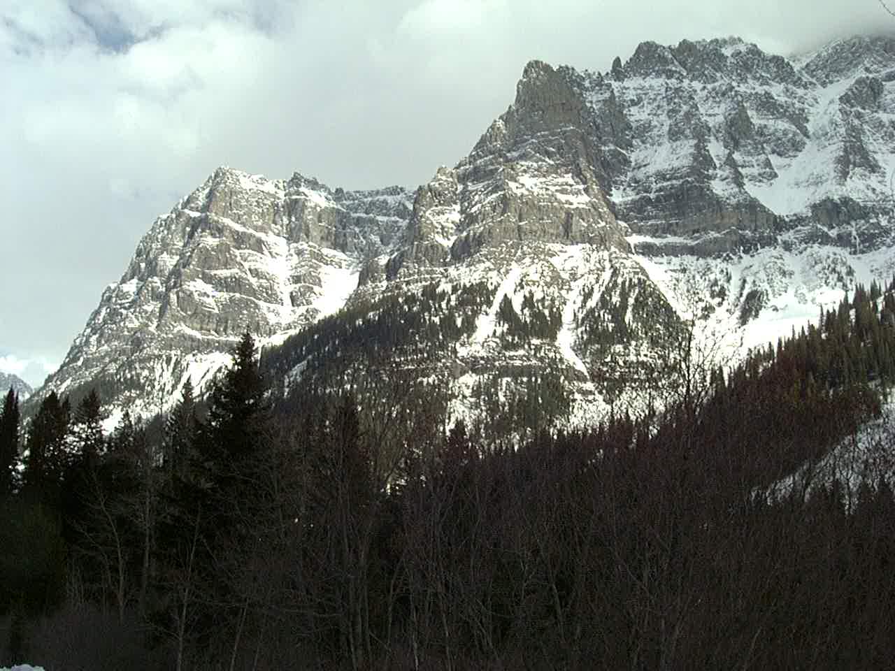
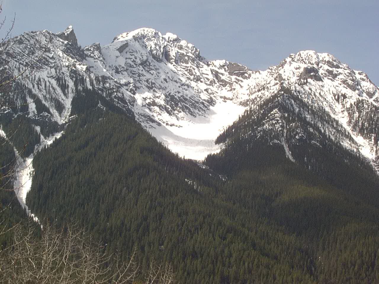
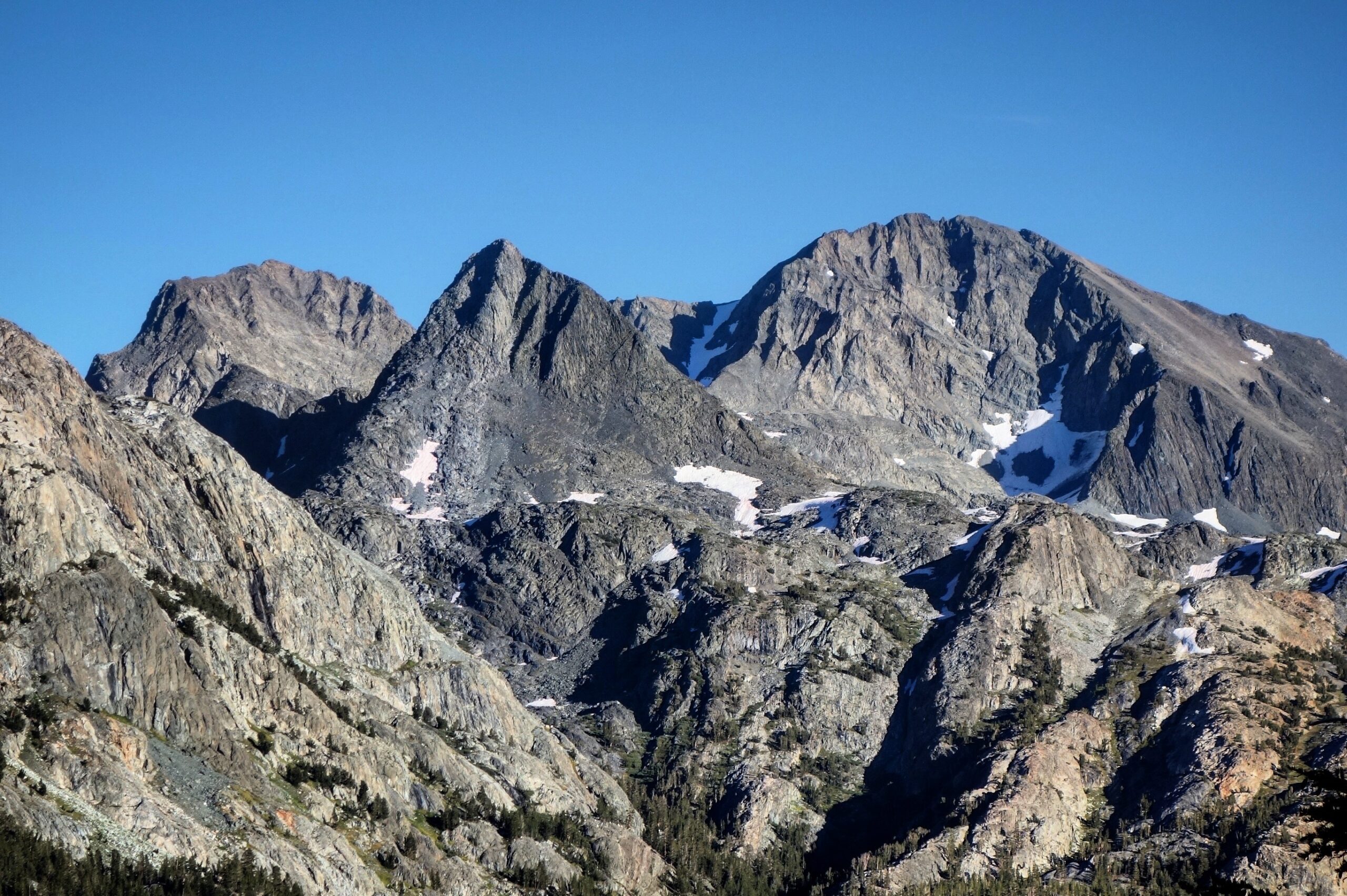
Mountains in Glacier National Park
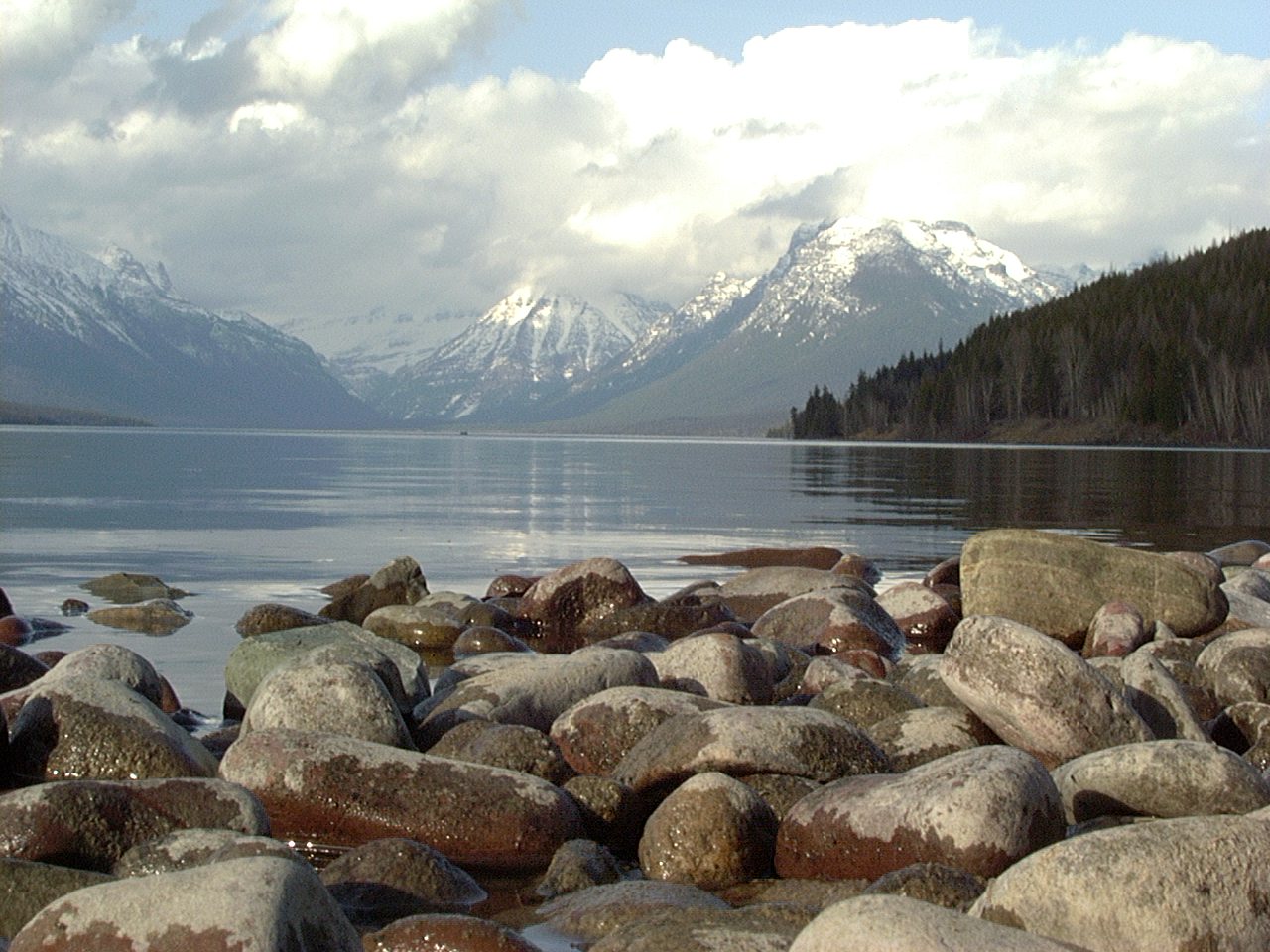
Lake McDonnald
As seen near West Glacier, MT.
Near Wardner Lake in BC, Canada
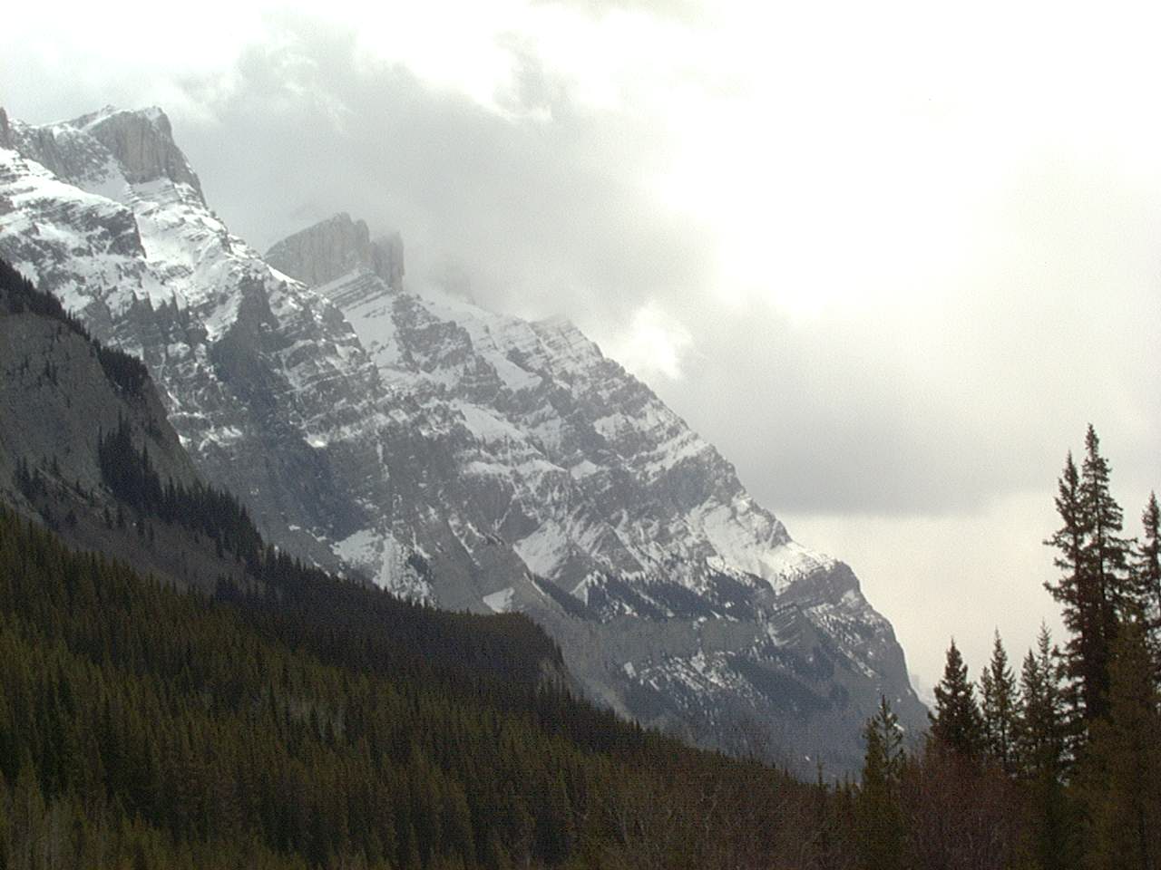
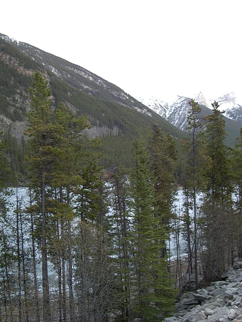
The Canadian Rockies in Kootenay National Park along Banff-Windemere HWY.
The Canadian Rockies in Kootenay National Park along Banff-Windemere HWY.
Snowy conditions just North of Mosquito Lakes Hostel.
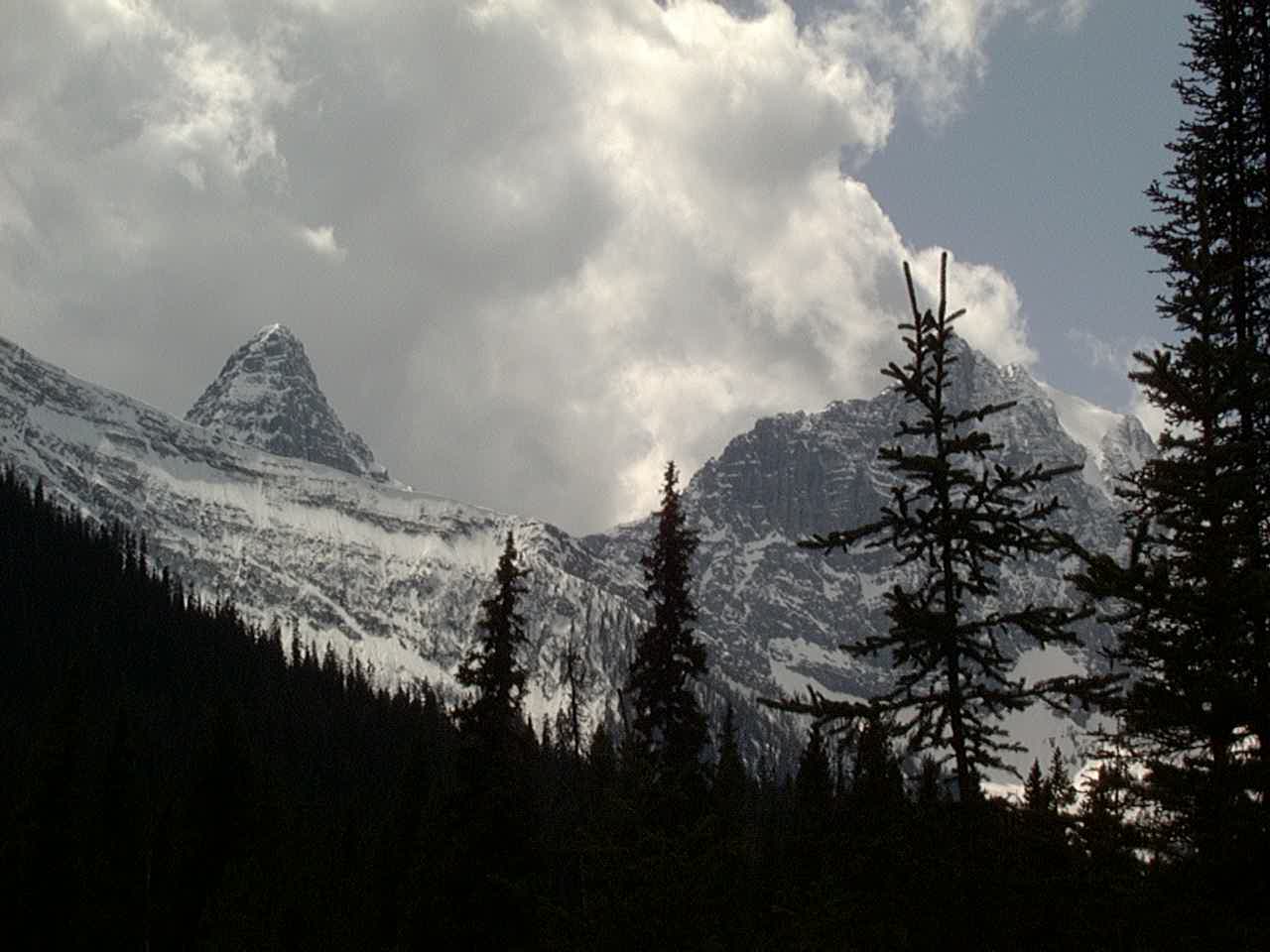
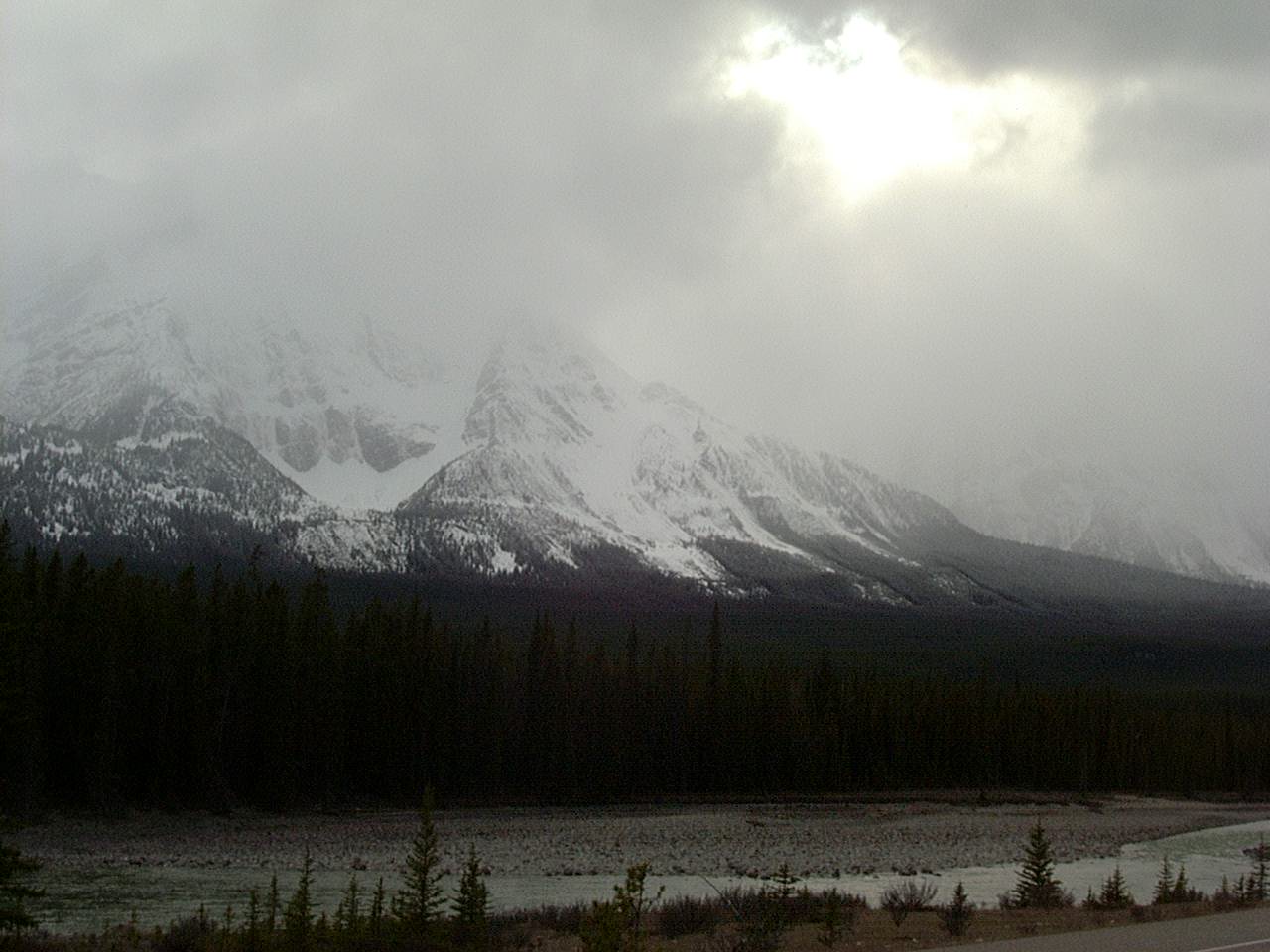
Canadian Rockies near Wilson Icefield
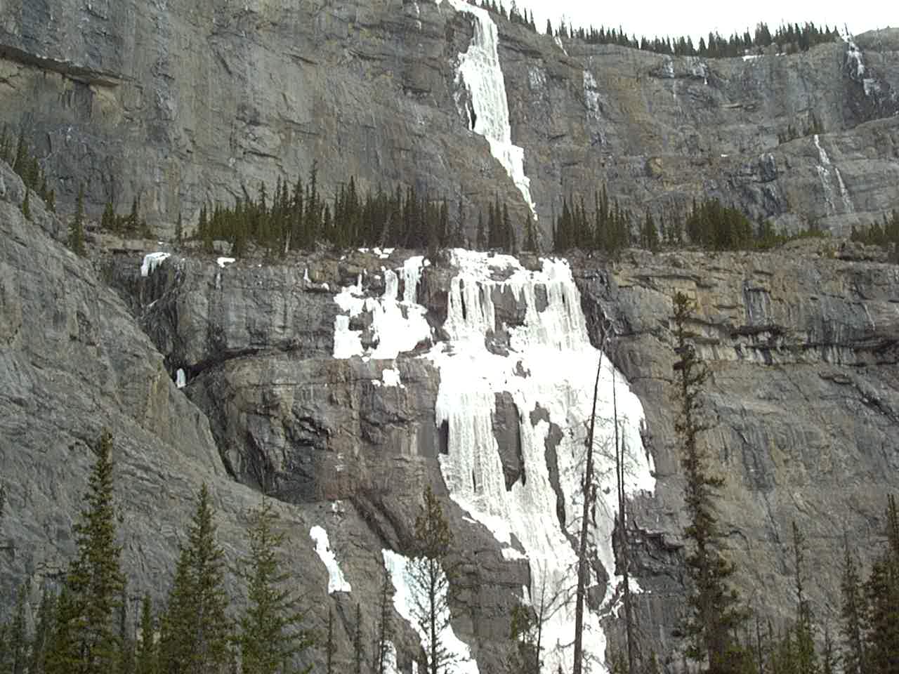
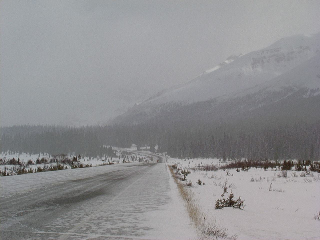
Canadian Rockies on Icefield Parkway
Canadian Rockies
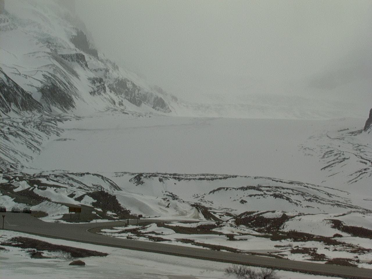
A small piece of the Columbia Icefield.
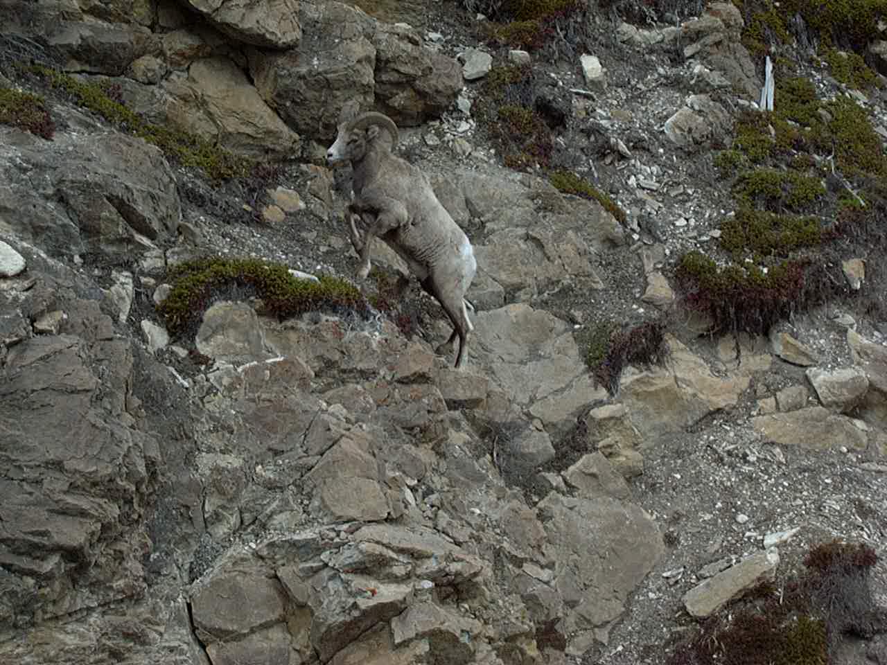
Bighorn Sheep seen from Icefield Parkway in the Canadian rockies
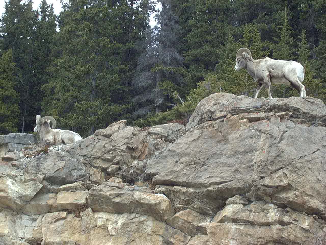
Bighorn Sheep seen from Icefield Parkway in the Canadian rockies
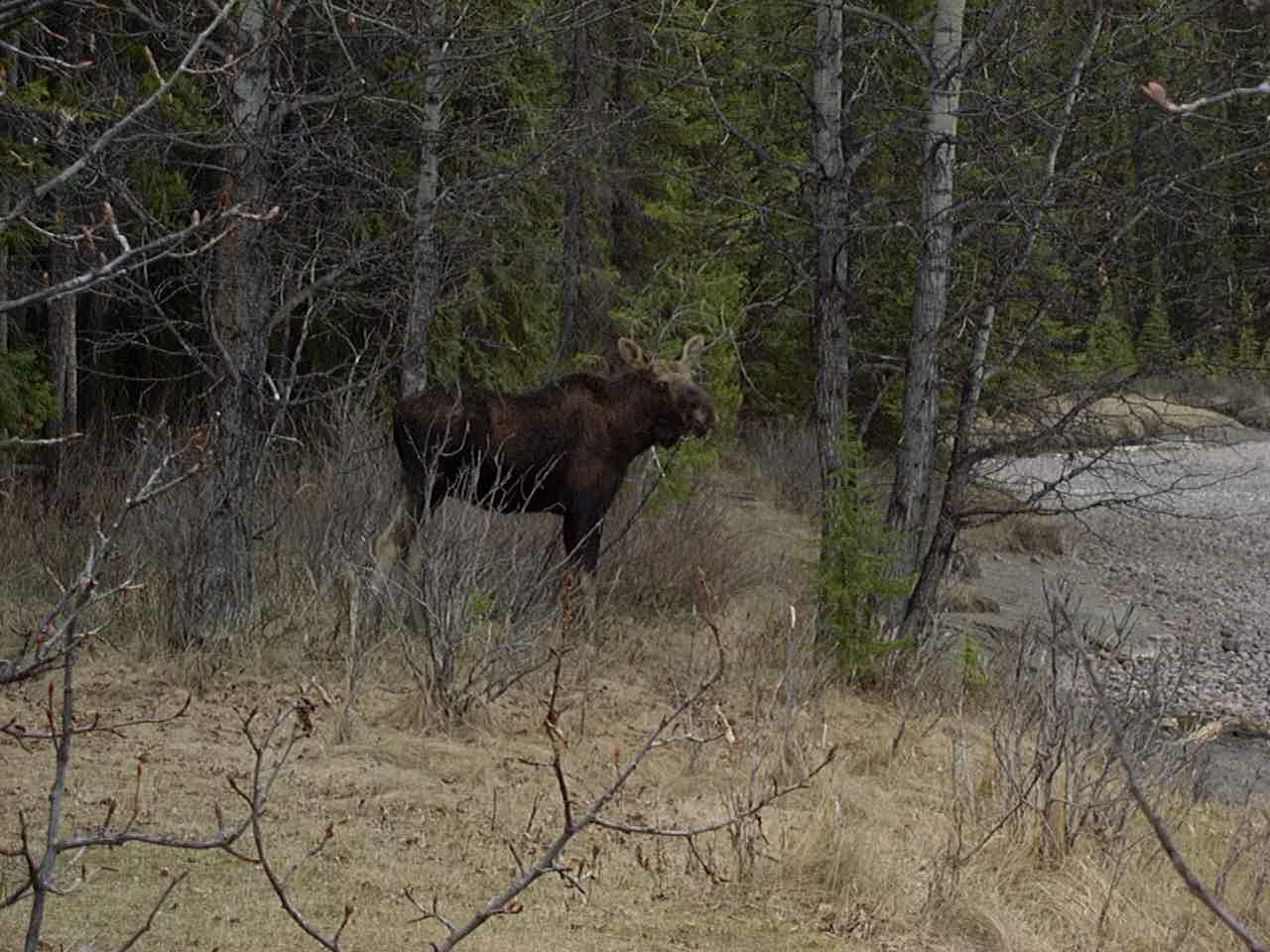
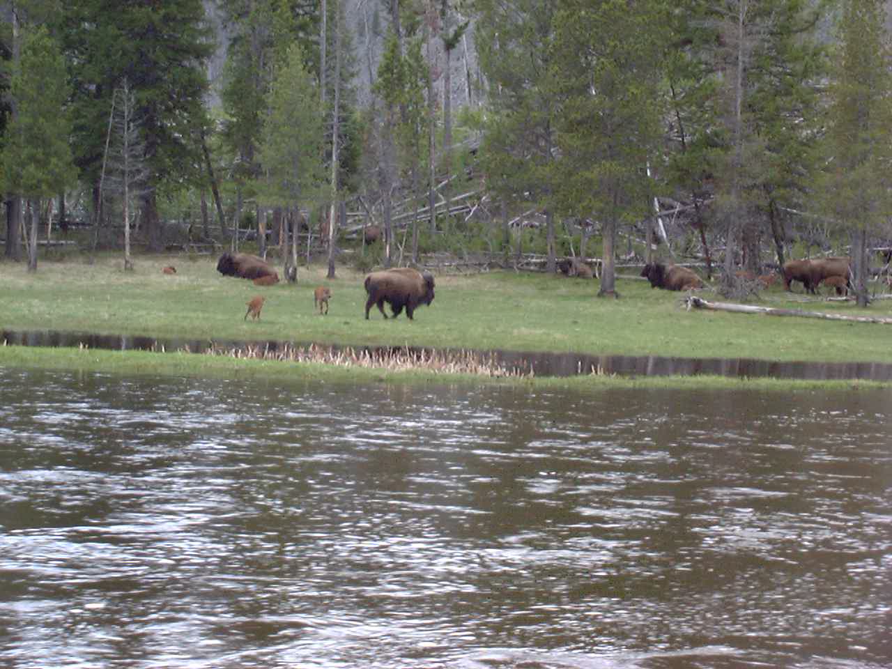
Moose seen from ice field parkway
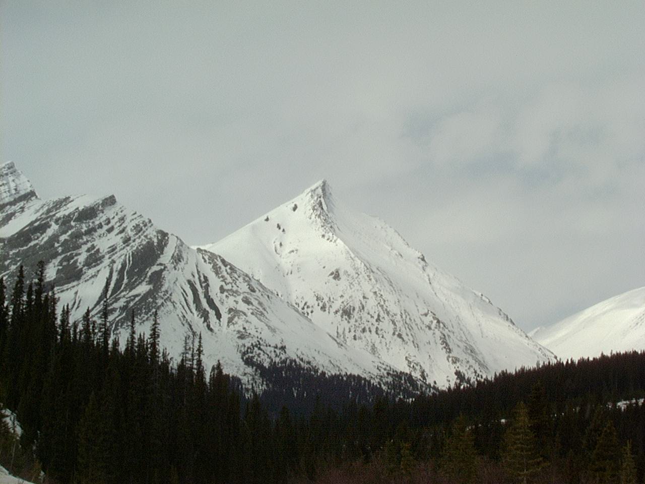
Canadian Rockies
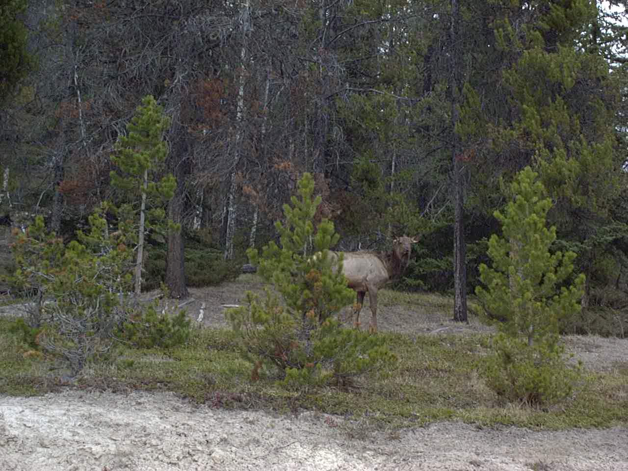
Moose seen from Icefield Parkway in the Canadian rockies
Near Jasper
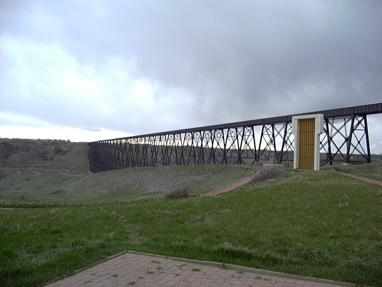
Lethbridge, the longest and highest steel trestle bridge in North America.
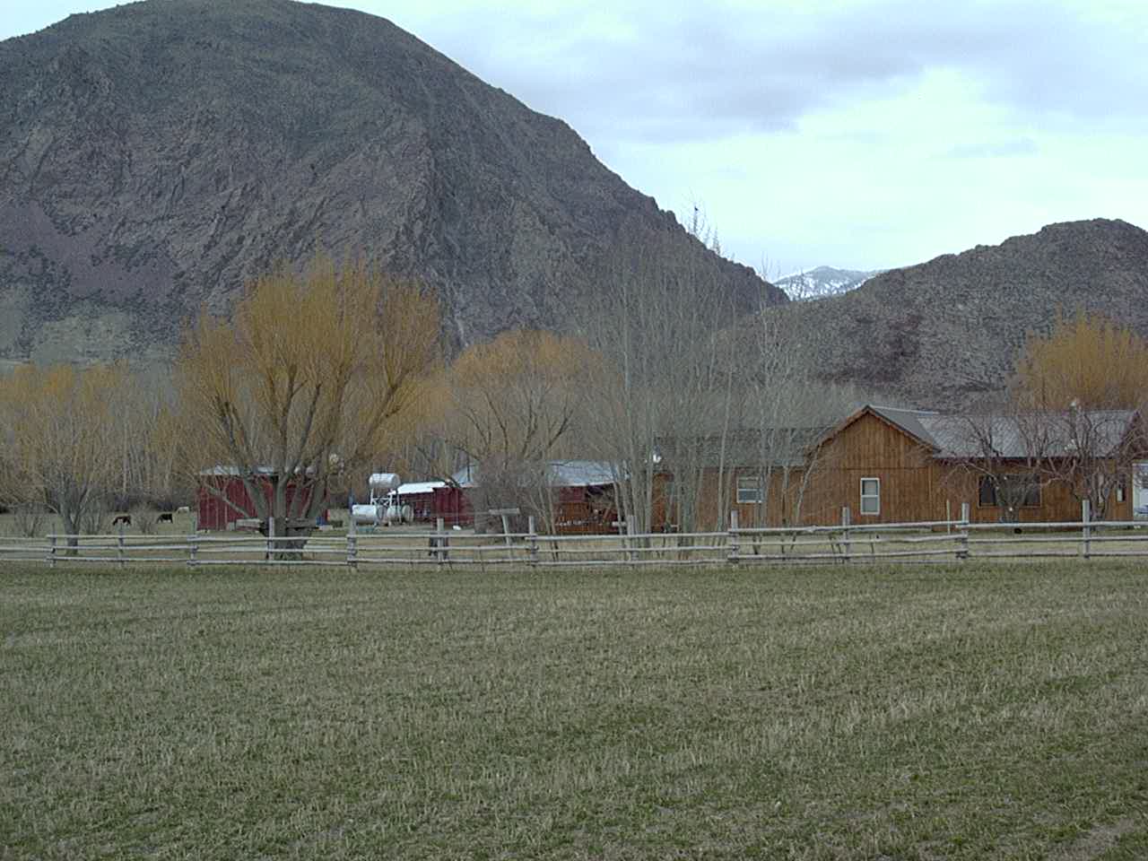
Near Conrad, MT
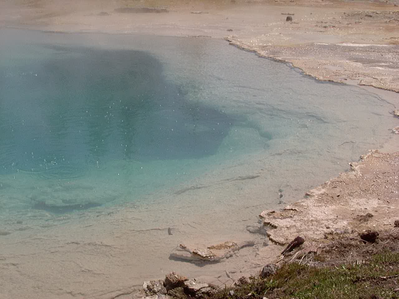
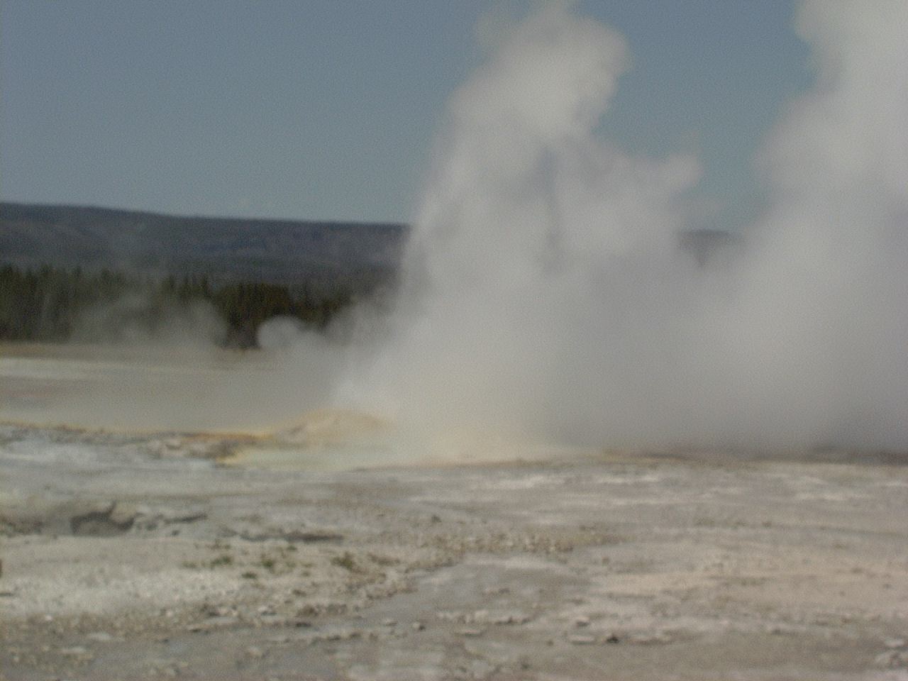
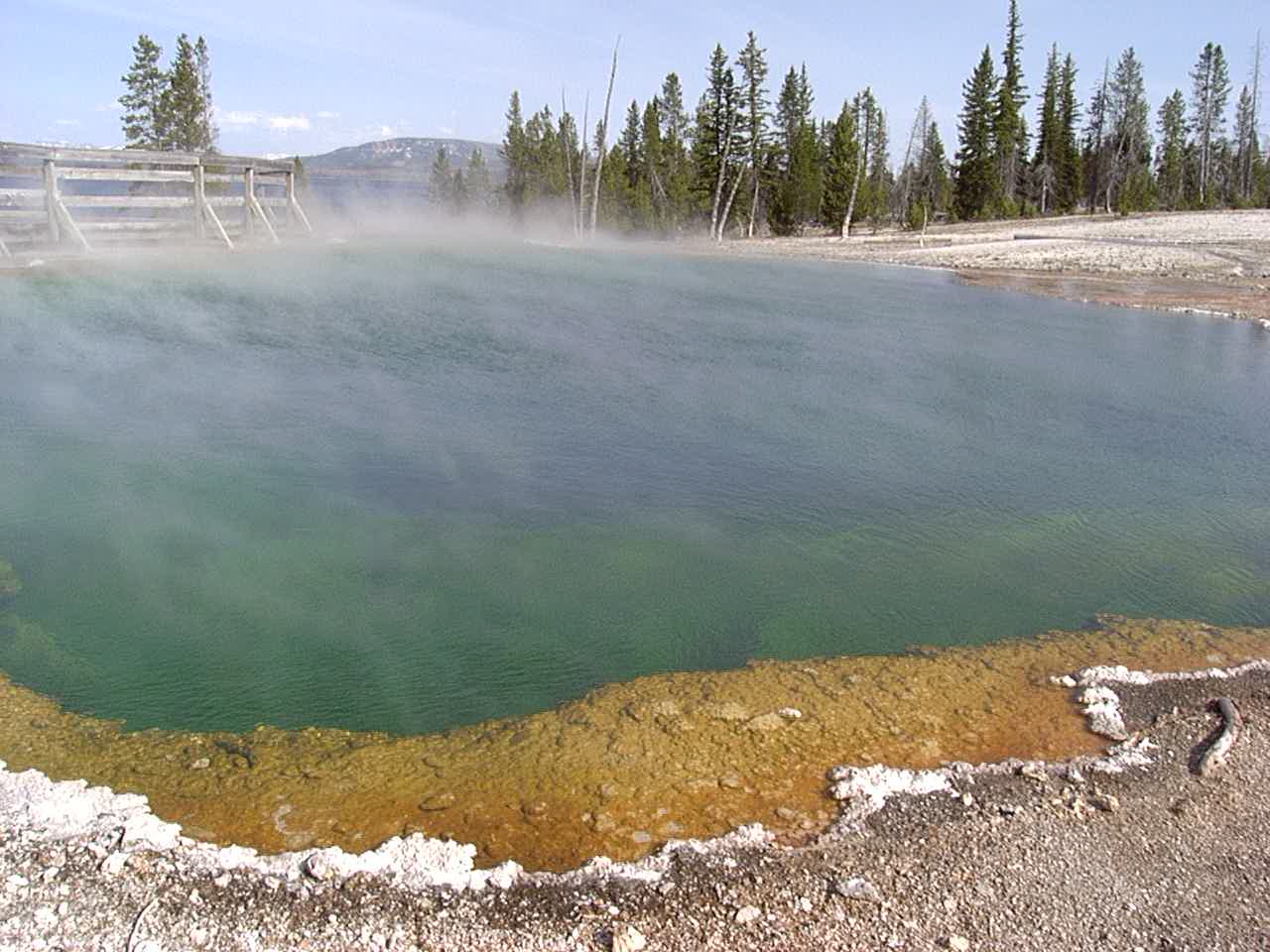
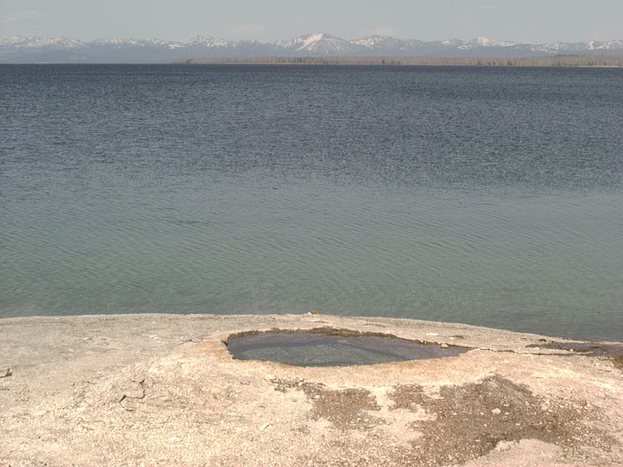
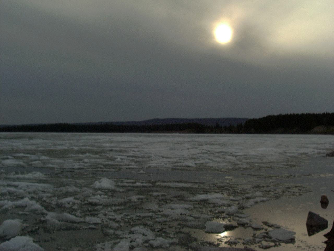
Yellowstone Lake – still frozen in May (7700′ elevation)
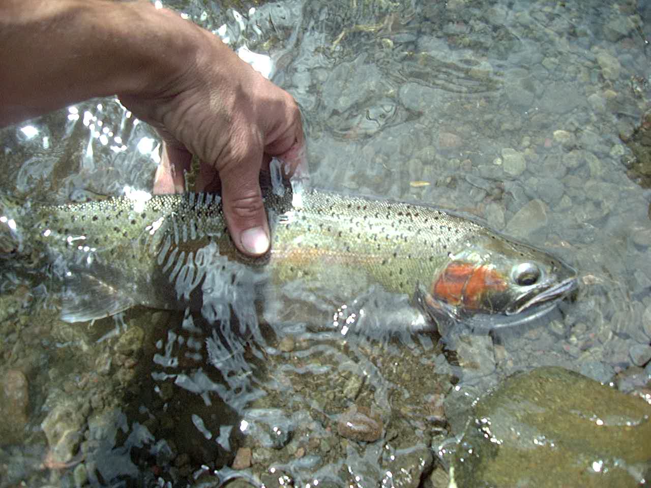
I caught 2 rainbows and 1 cutthroat – all about the same size – by hand in the Shoshoni river! I let them go after I took pictures.
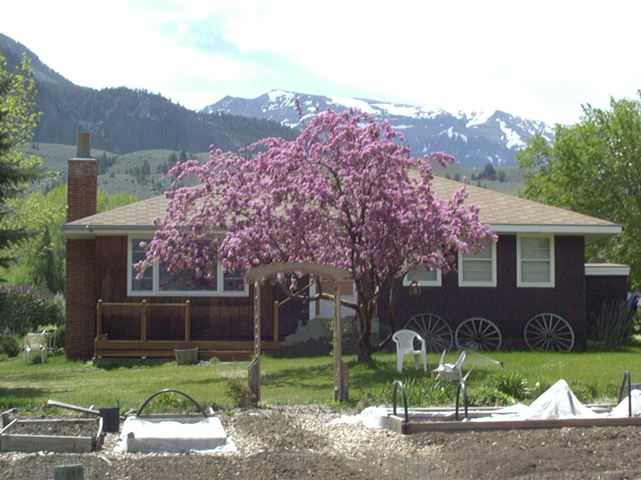
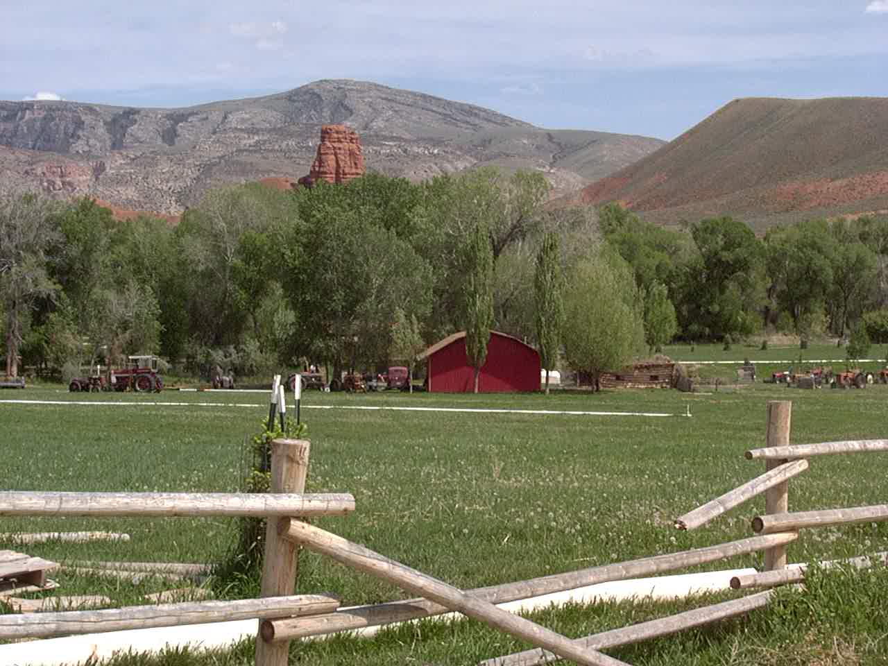
Cody, WY house.
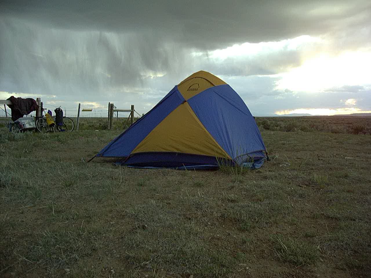
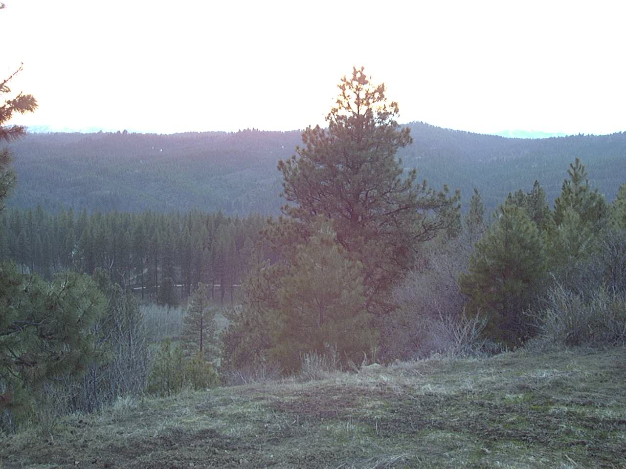
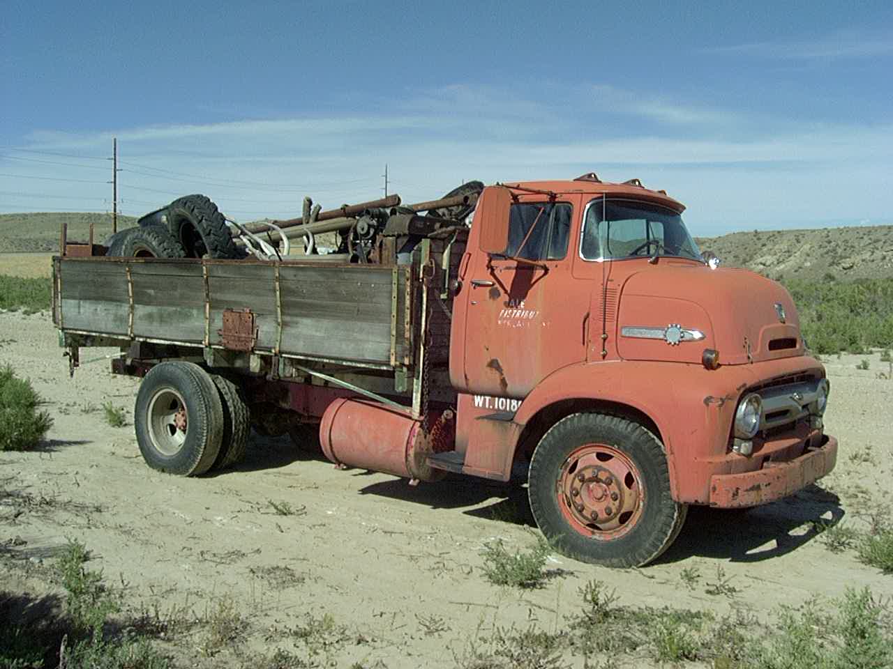
It can be pretty bleak in Wyoming. Somewhere between Cody and the Bighorns
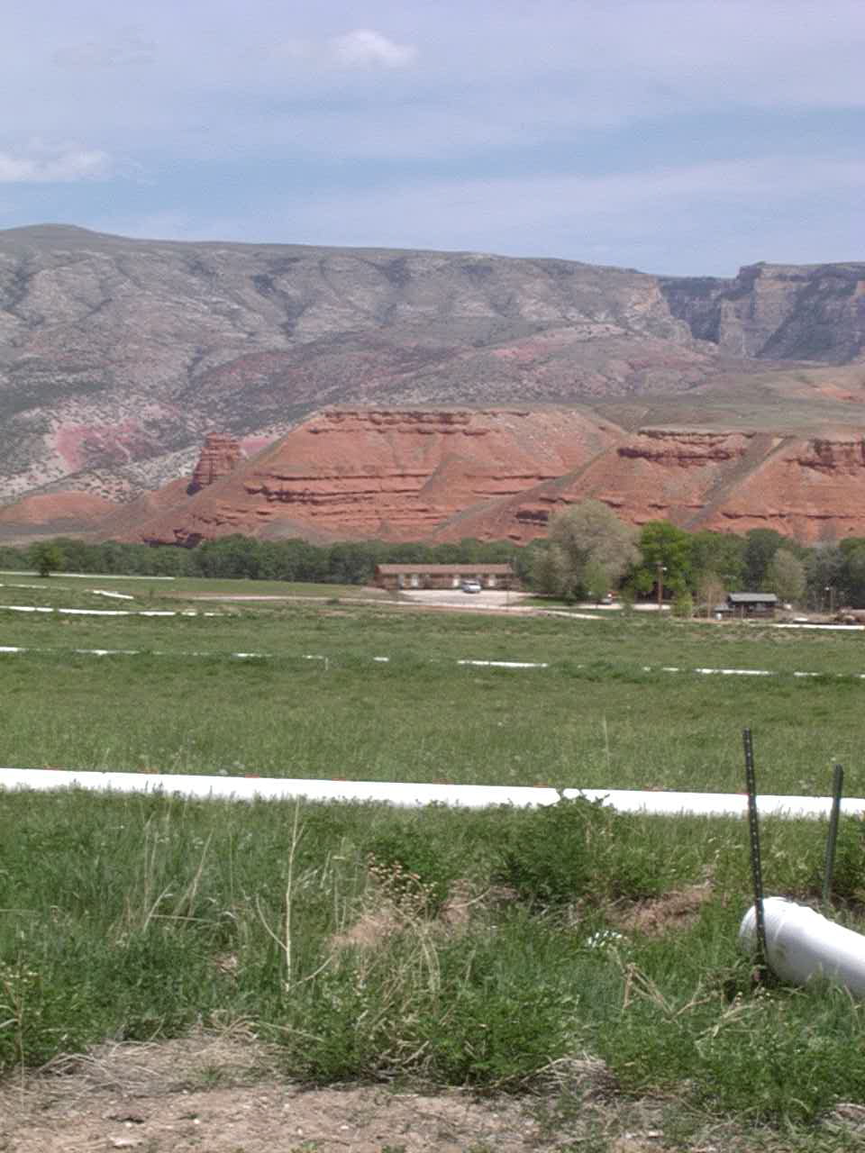
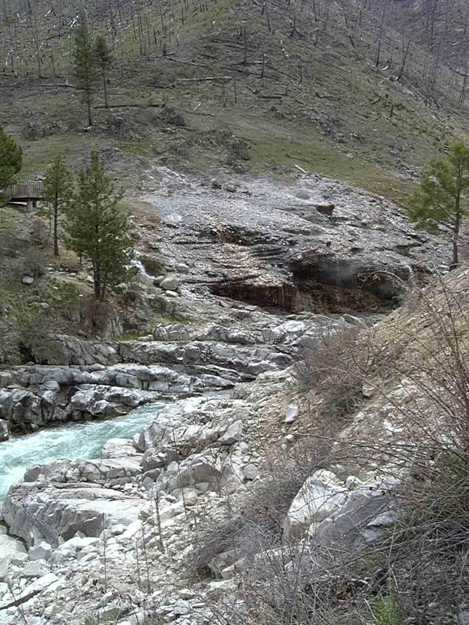
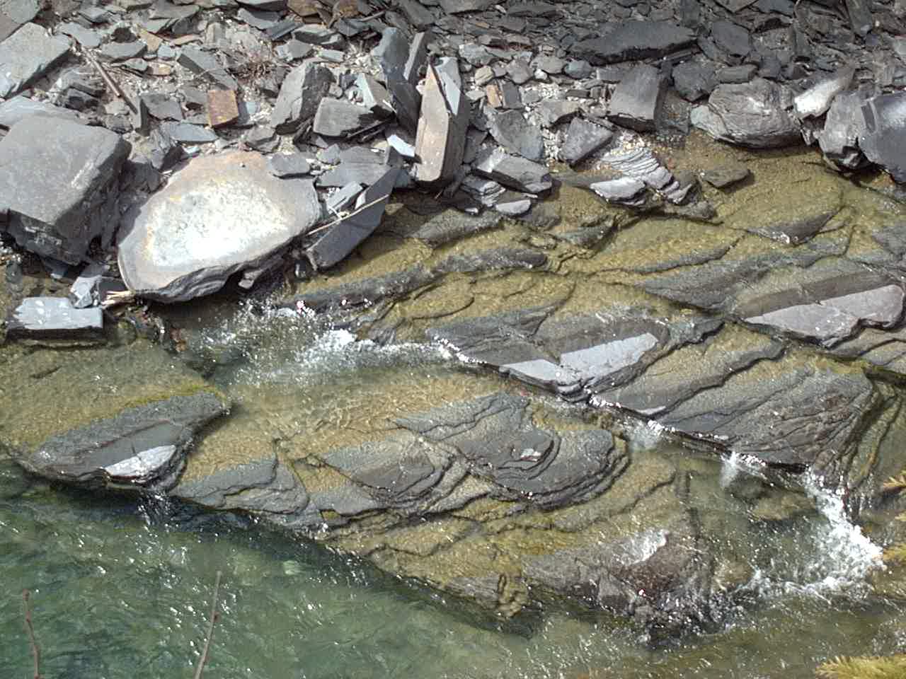
Bighorn Canyon – very beautiful!
Bighorn Canyon – very beautiful!
Bighorn Canyon (near Cody, WY) – very beautiful!
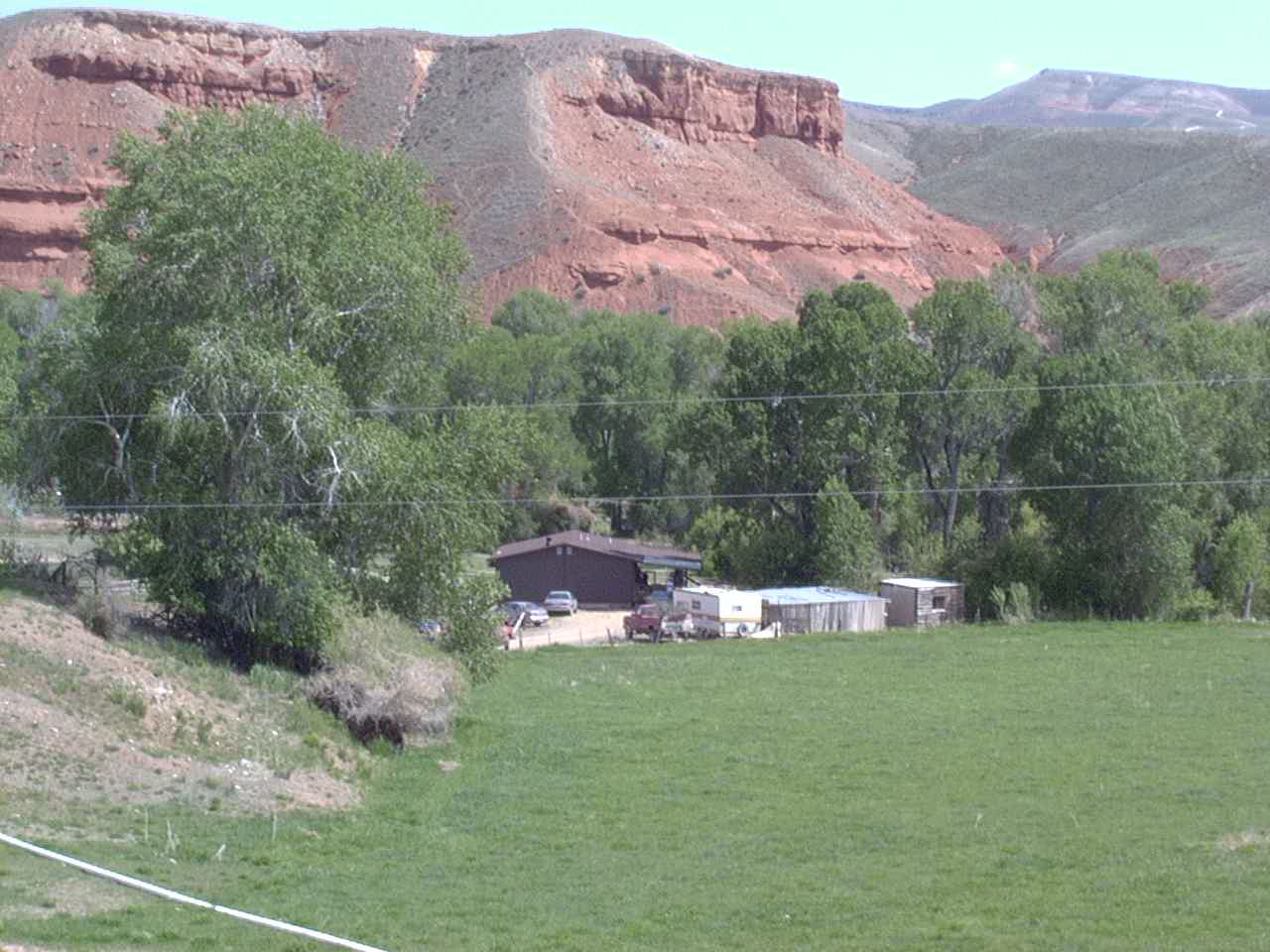
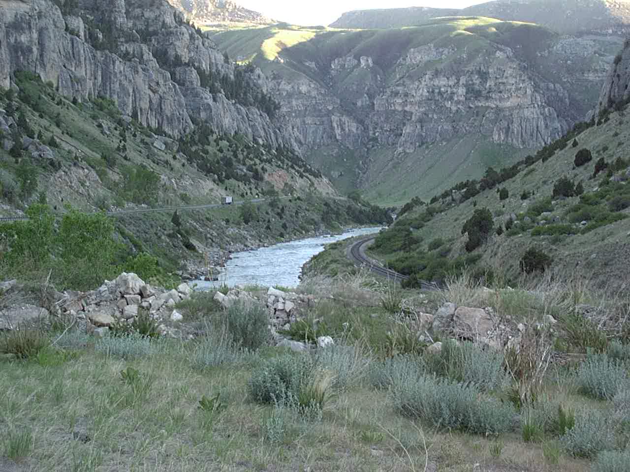
Near Thermopolis
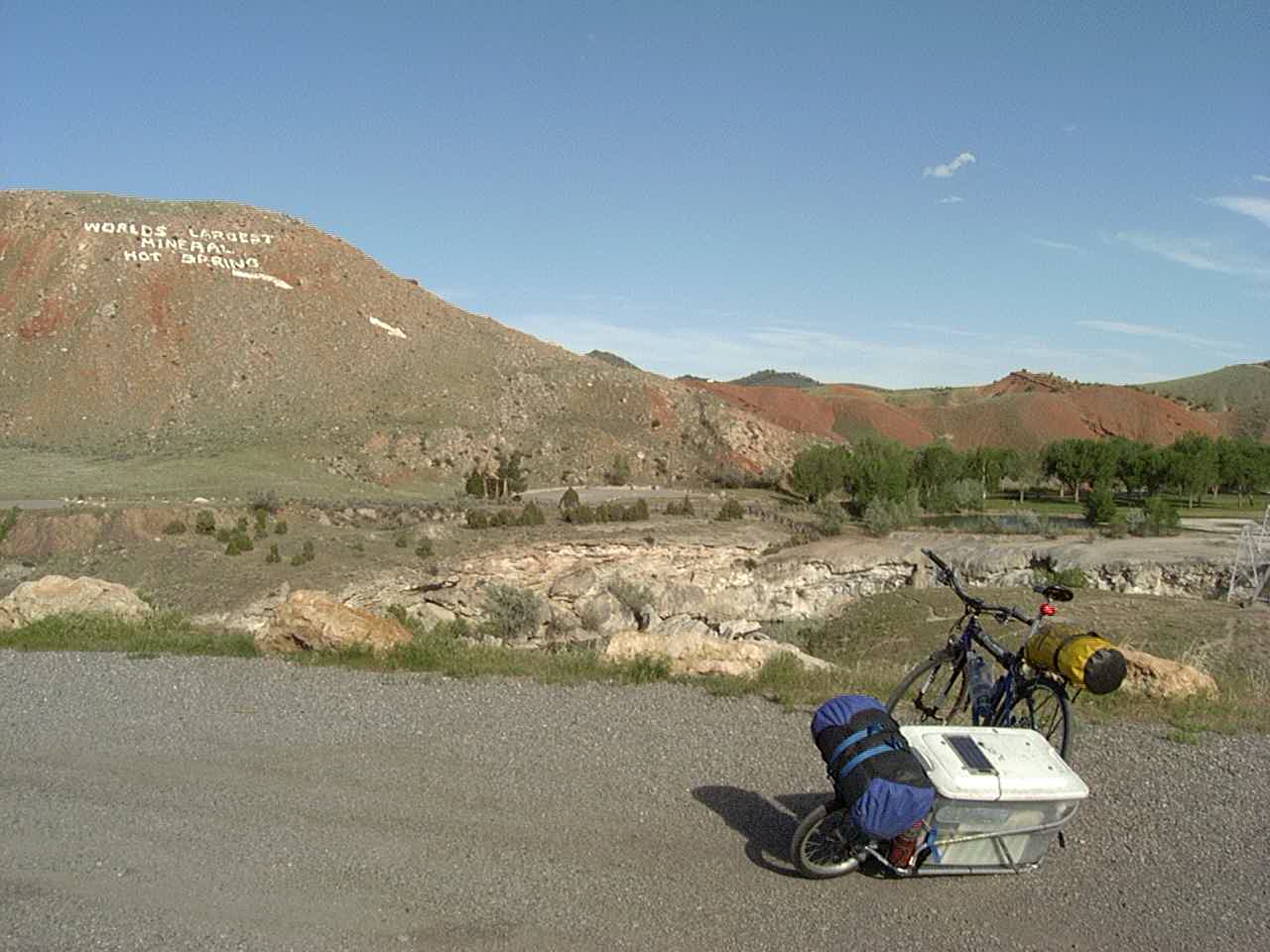
Thermopolis
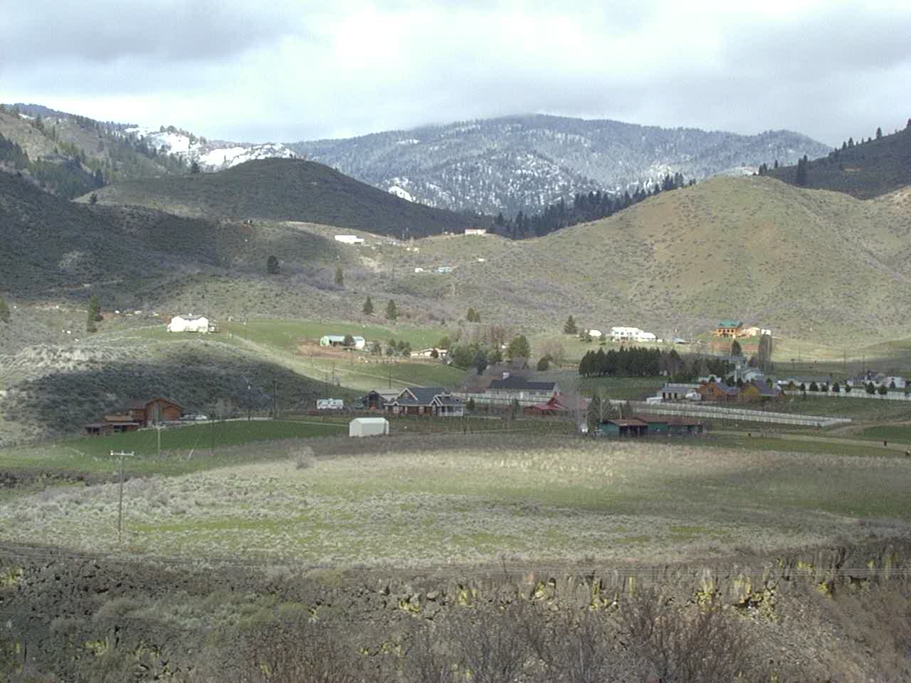
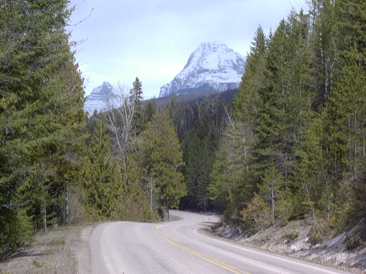
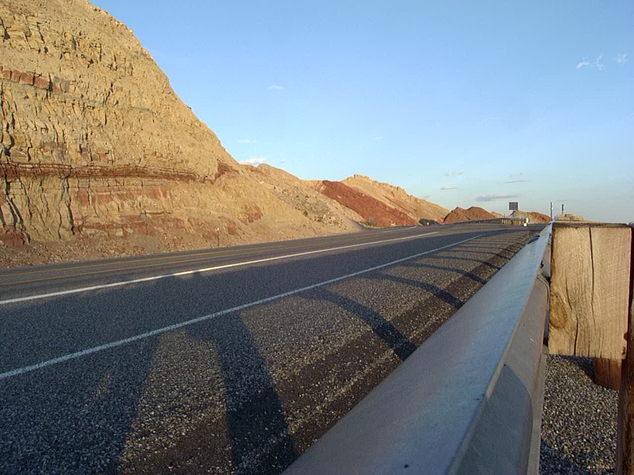
Near Craig, CO
Near Boysen Reservoir in Wyoming
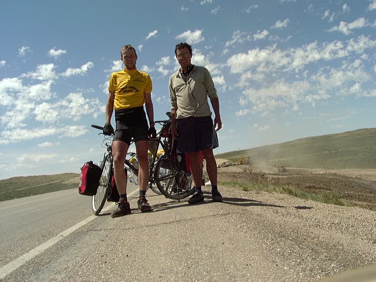
Lacey met this guy a couple weeks before I did. He was hanging out at a soccer game and she struck up a conversation. By chance, our paths crossed miles from that spot, and upon meeting and talking for a while, he asked me, “is your name Brian?” He remembered from his conversation with her that I was on a tour as well – but we had never seen each other before!

Near Craig, CO
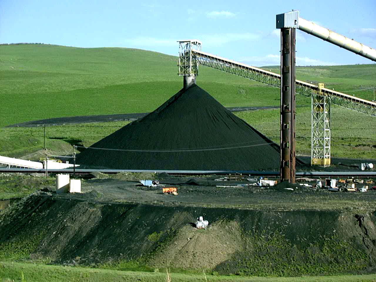
Coal near Steamboat Springs, CO
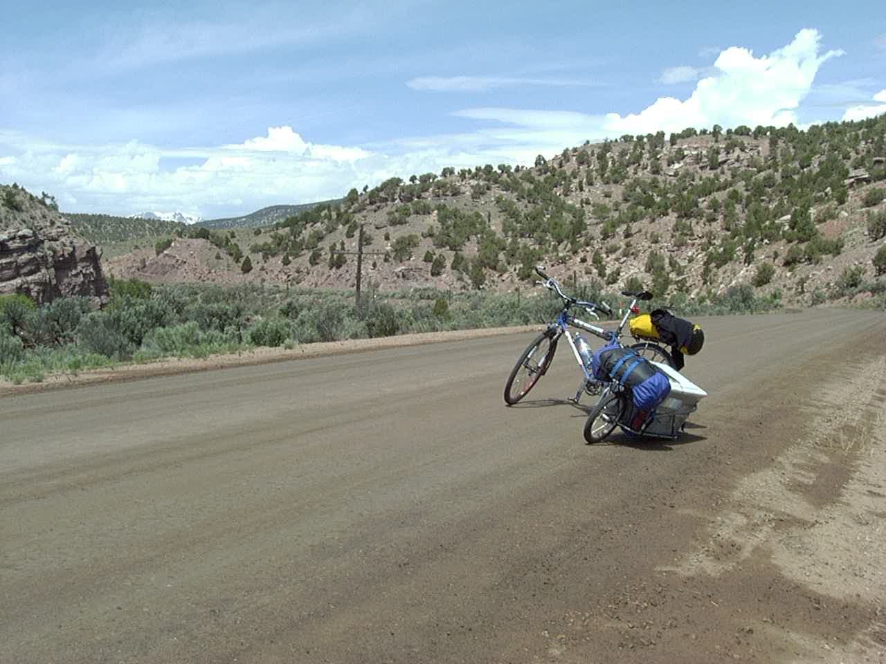

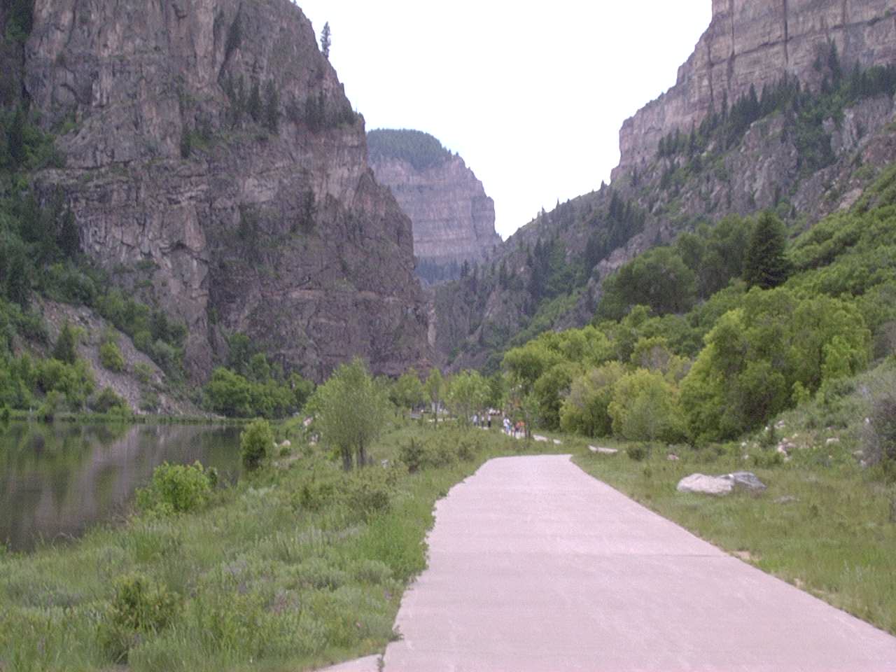
Bike Path towards Glenwood Springs
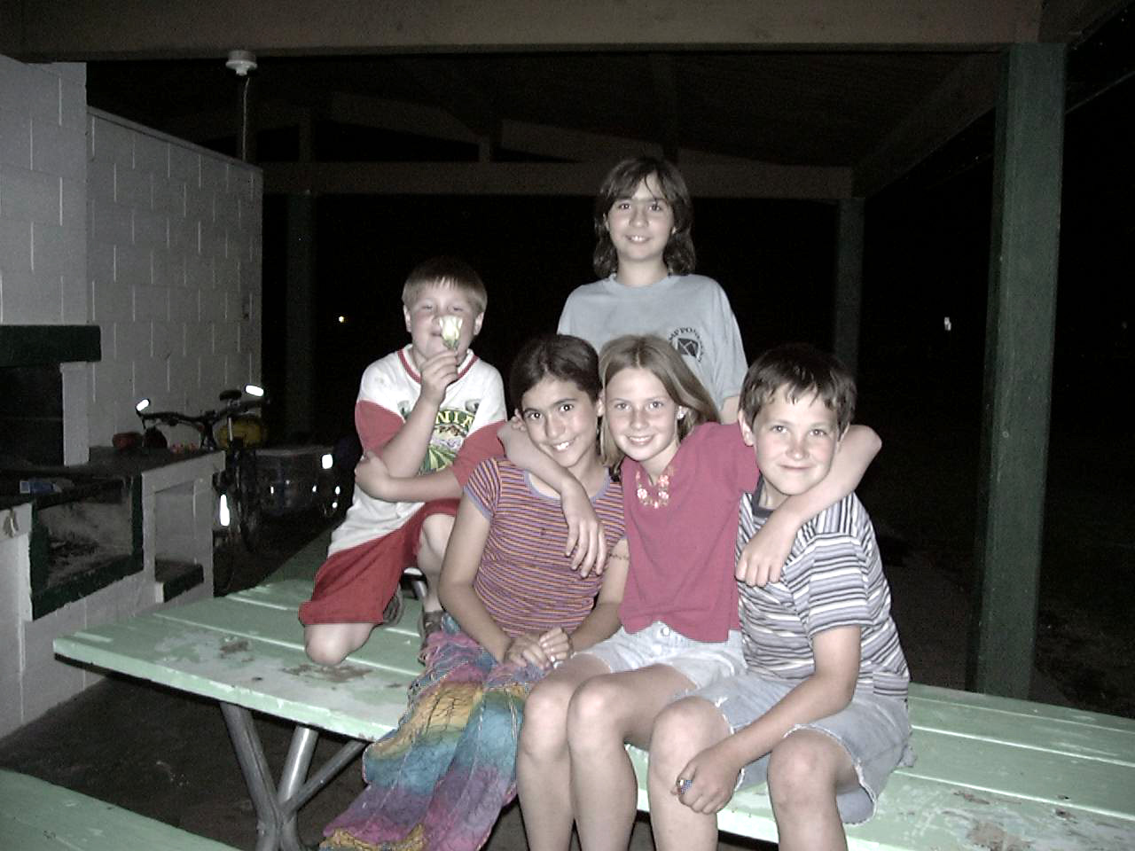
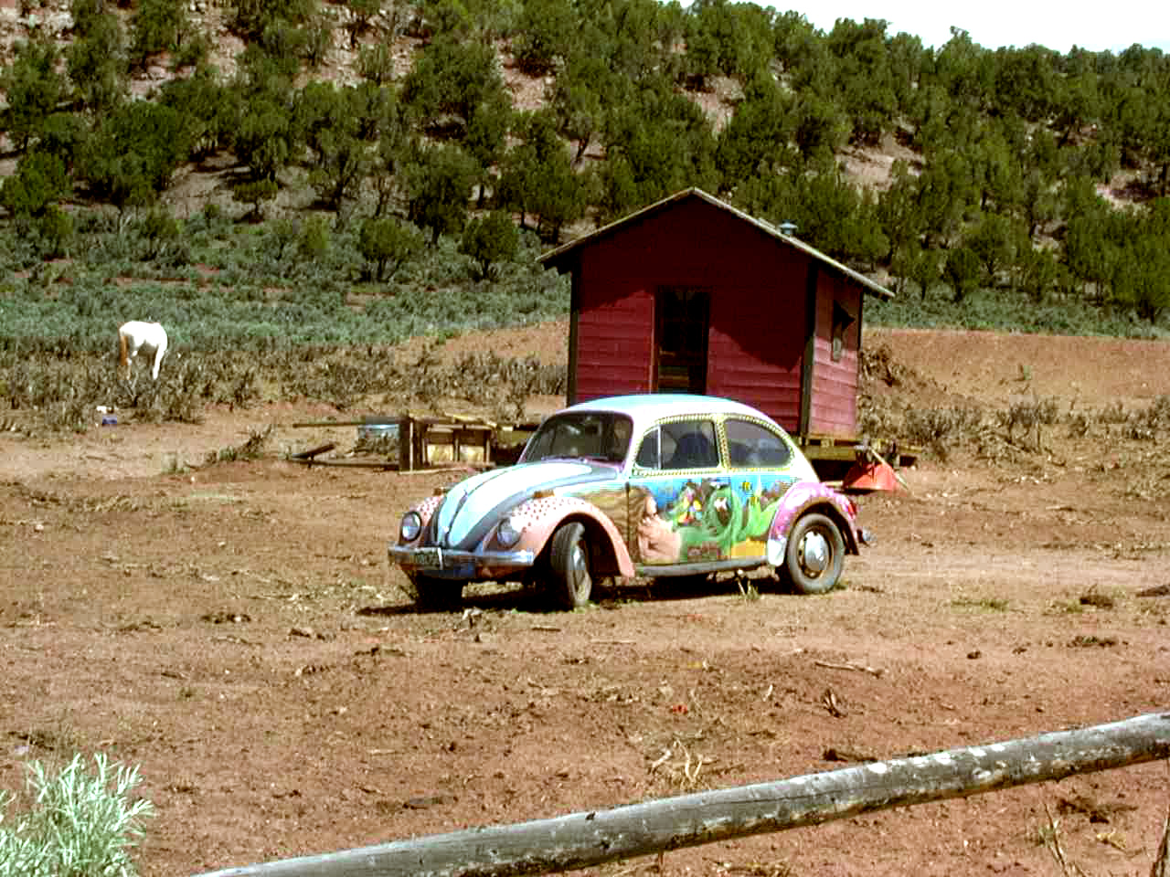
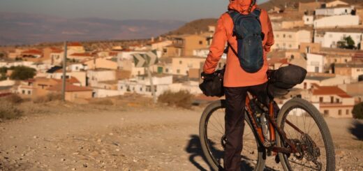
Kids I met in Paonia
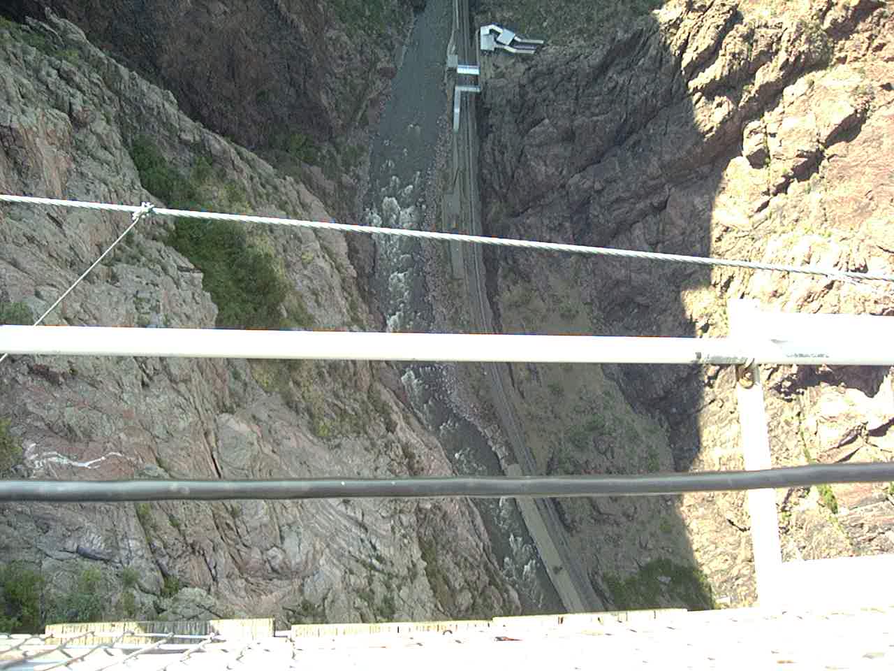
Royal Gorge – at 955 feet above the river held the record of highest bridge in the world from 1929 to 2001 (I crossed it before it lost its title!)
Royal Gorge – the highest bridge to river in the world. You have to pay $15 to cross!
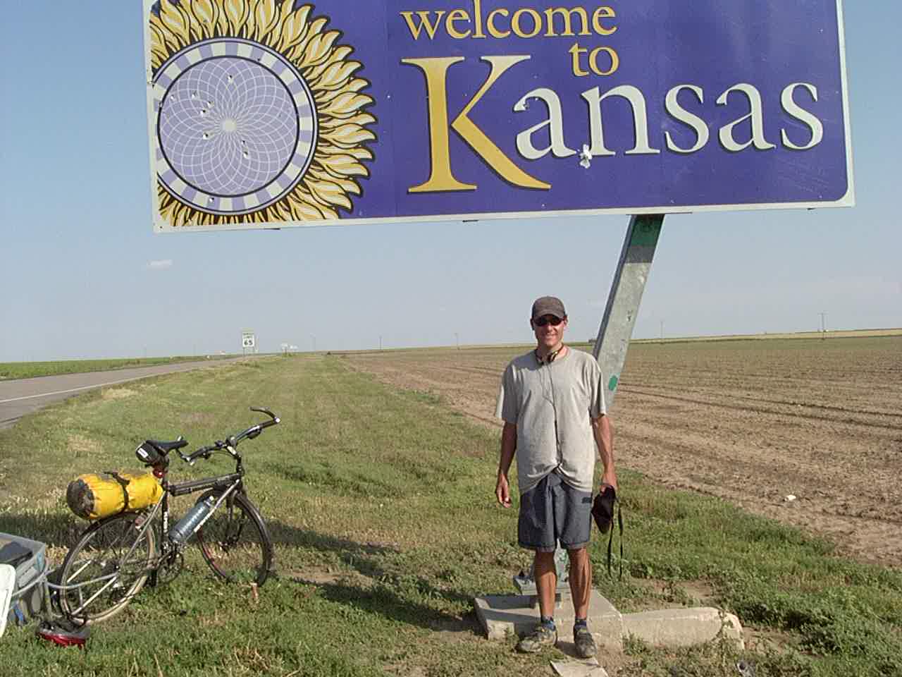
Welcome to Kansas – great riding here!
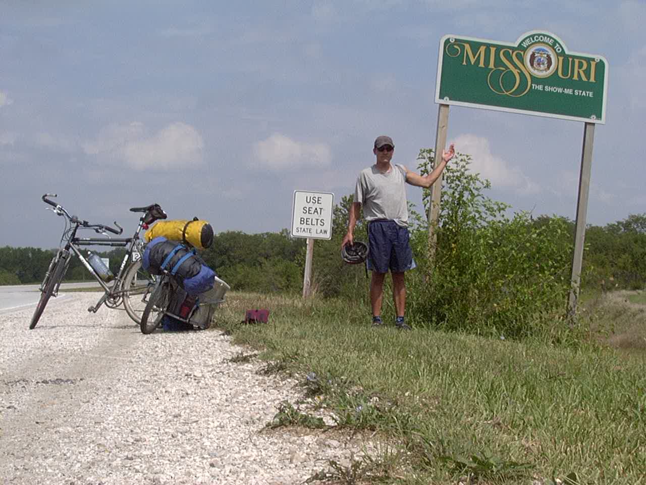
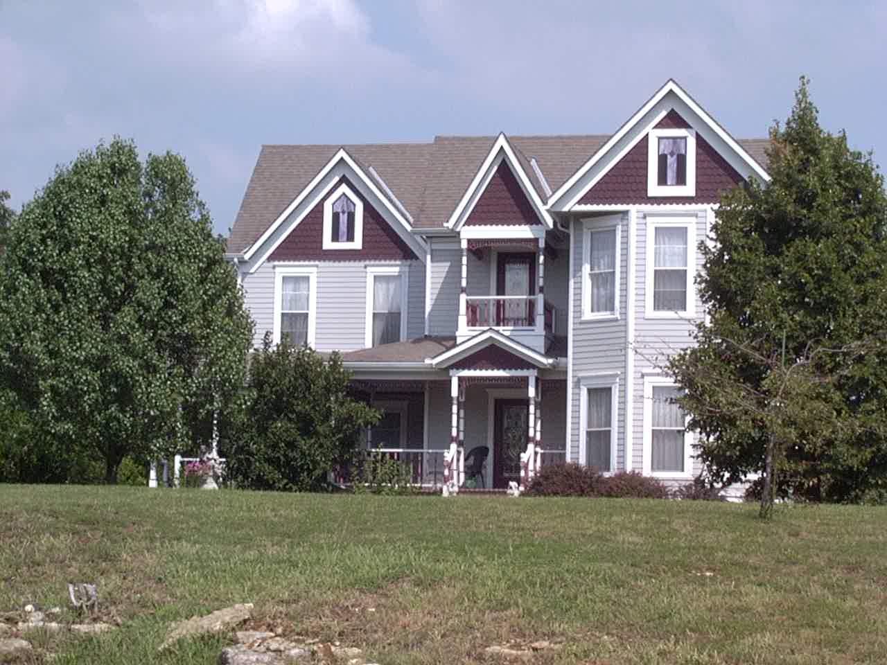
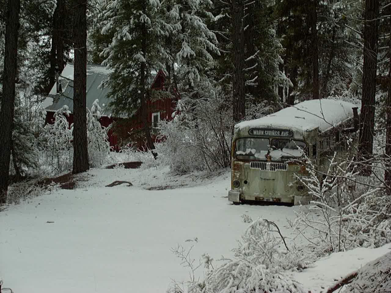
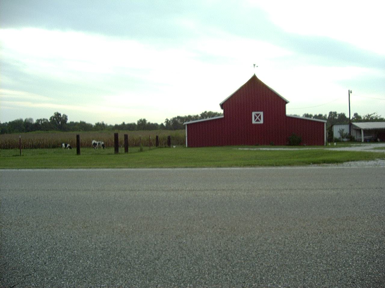
Missouri house
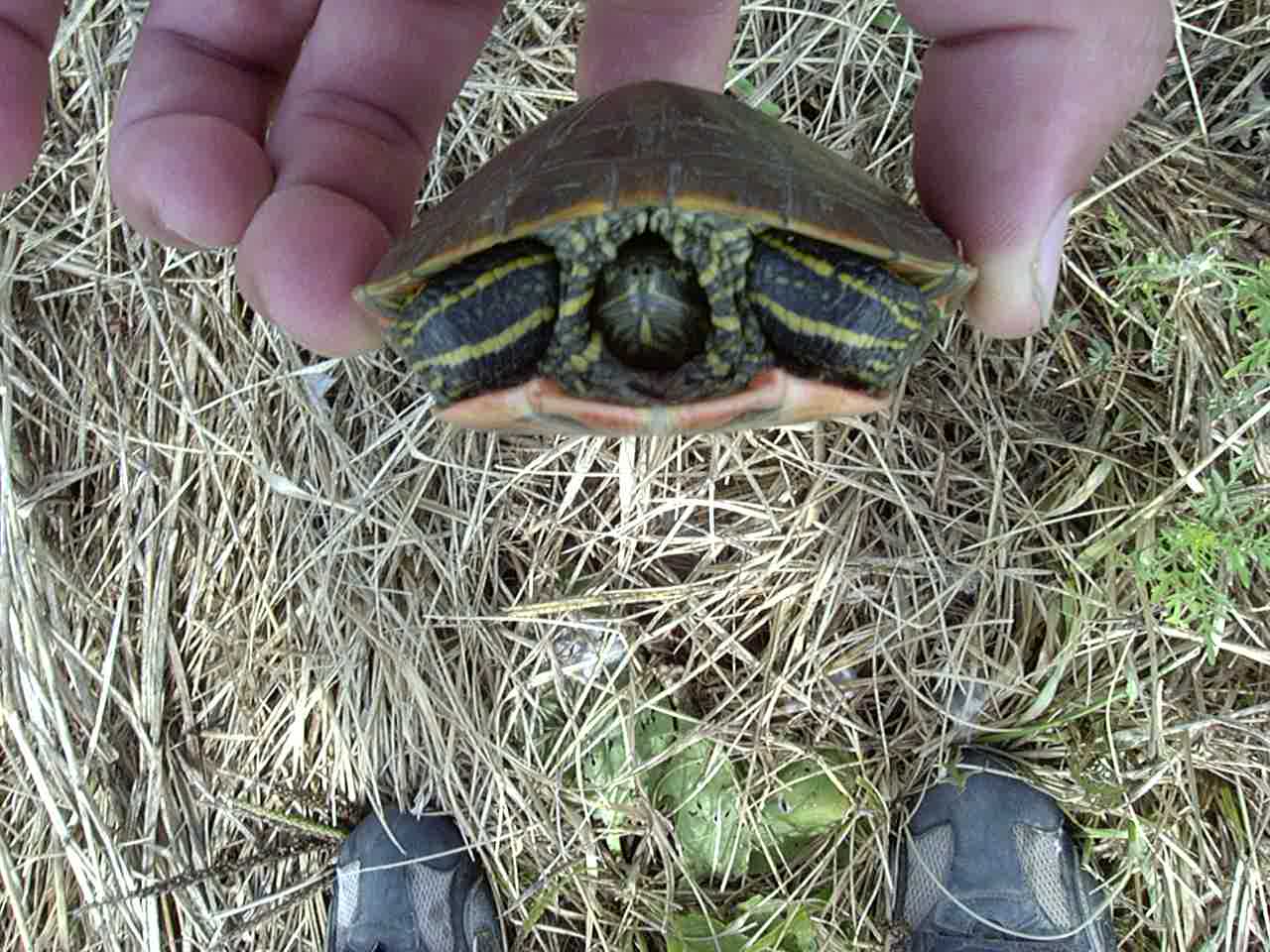
Found in Missouri.
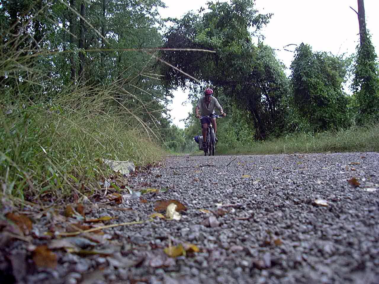
Rail Trail in Pennsylvania
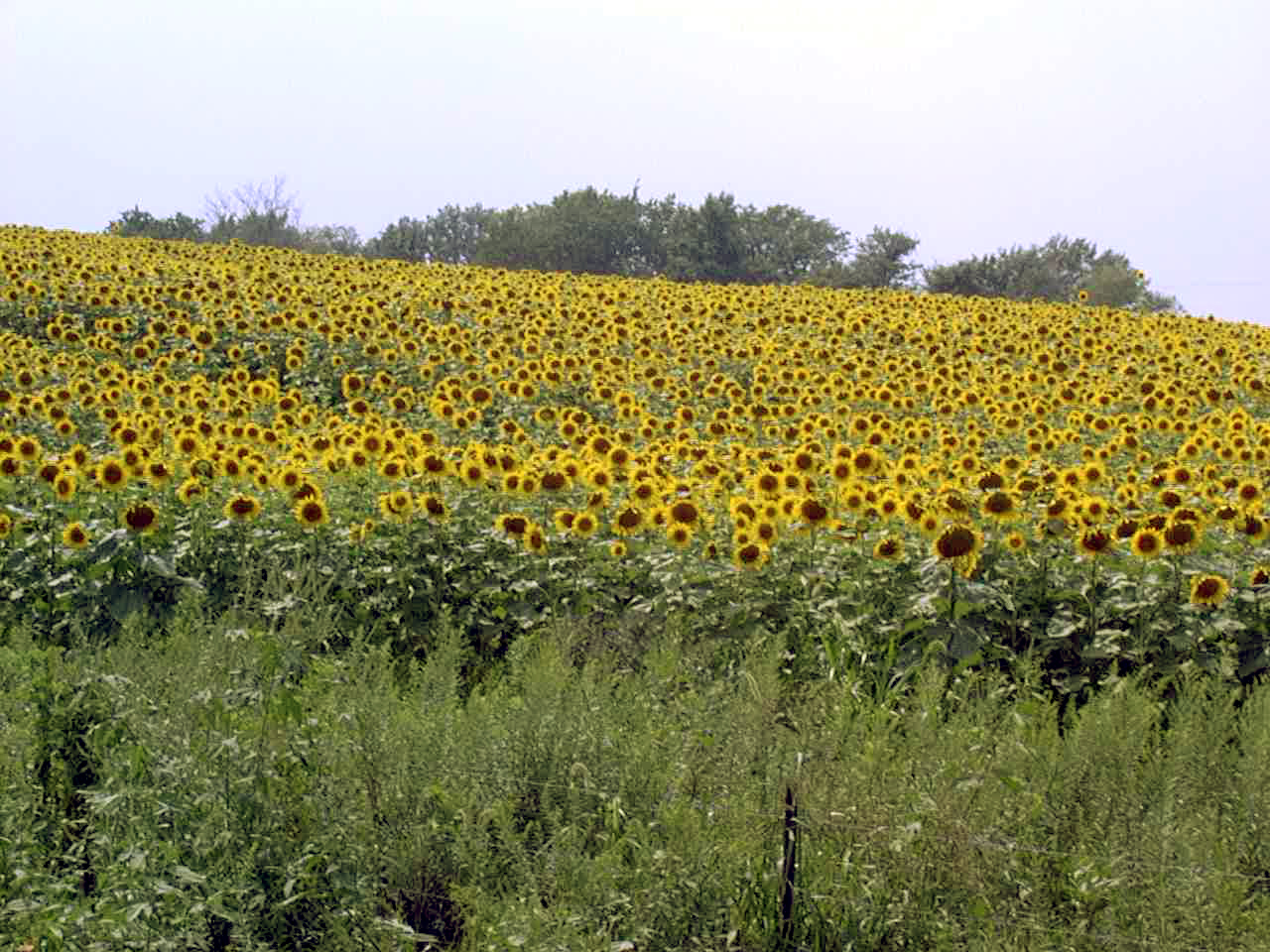
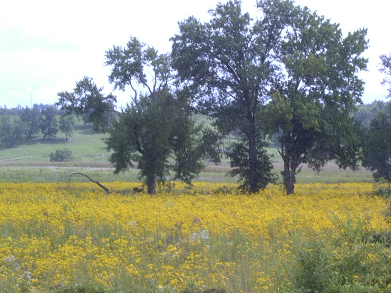
Sunflowers
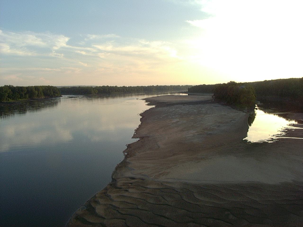
Where the Missouri meets the Mississippi.
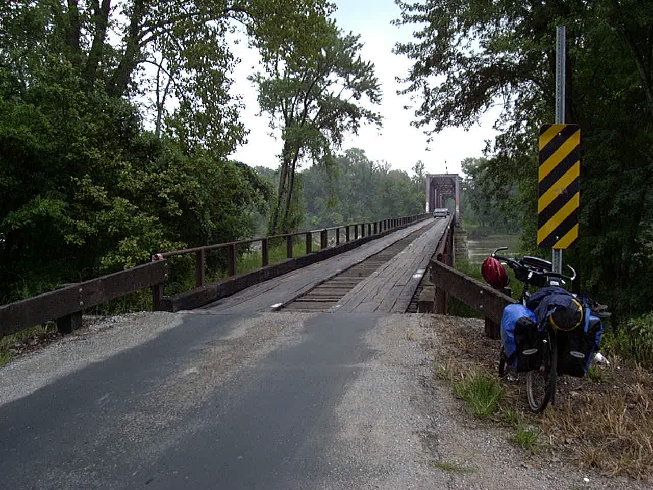
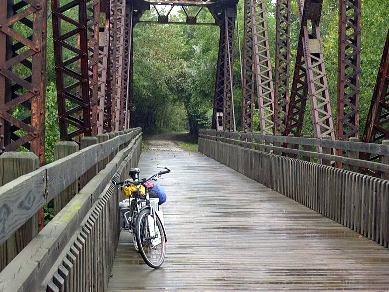
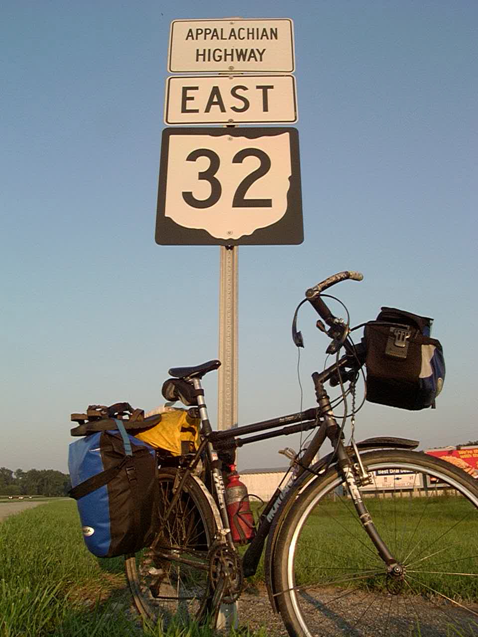
A bridge I crossed
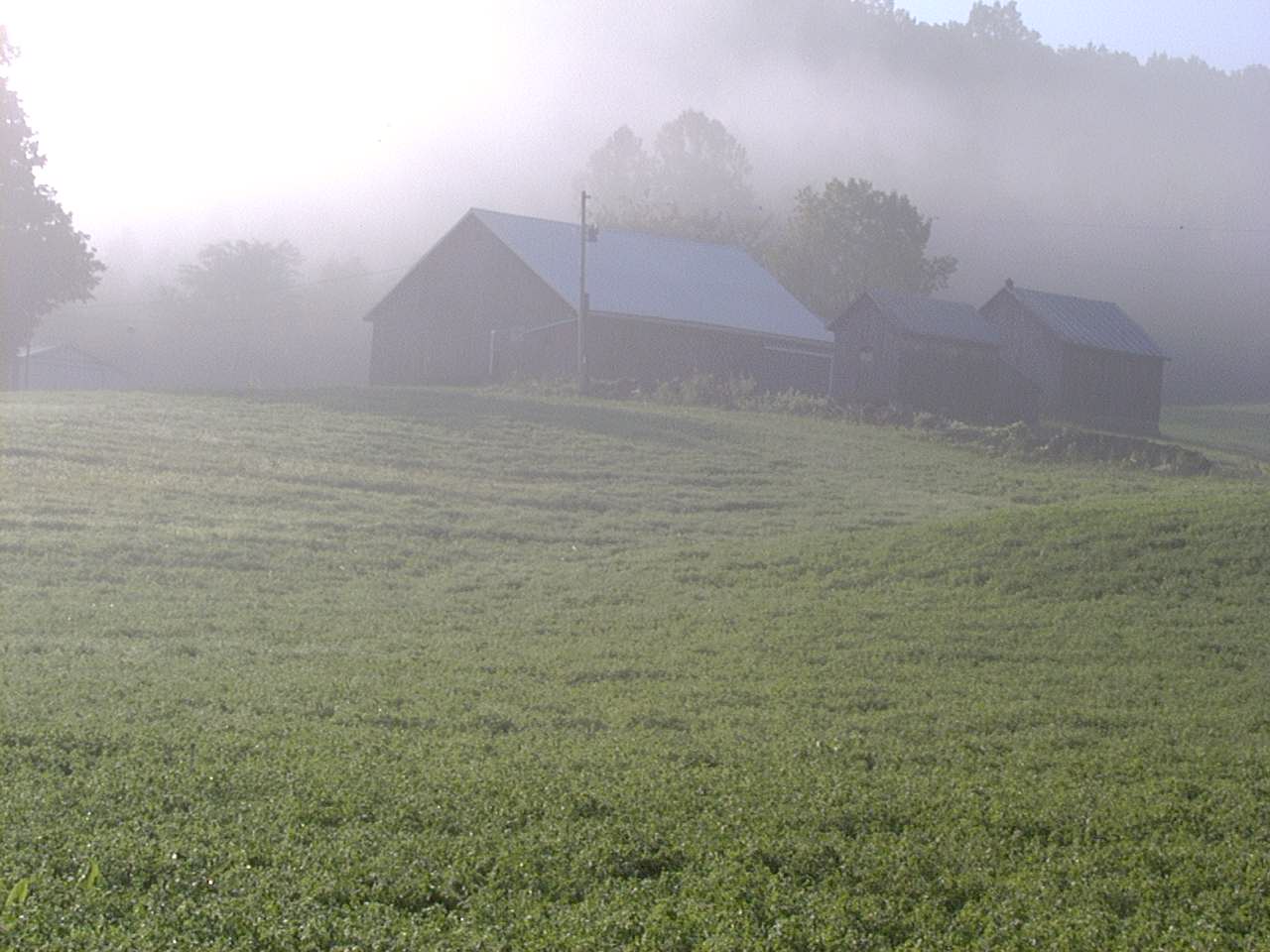
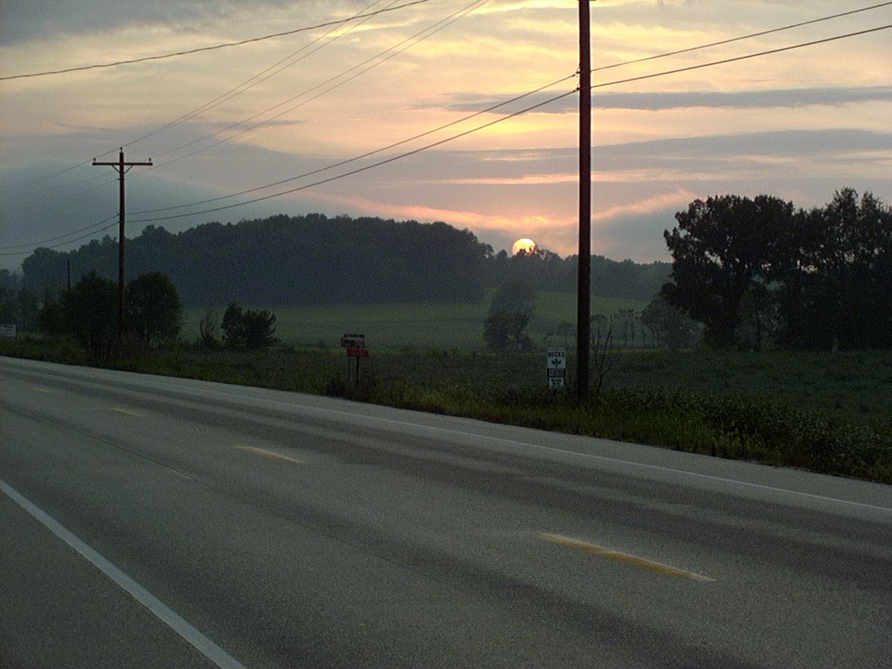
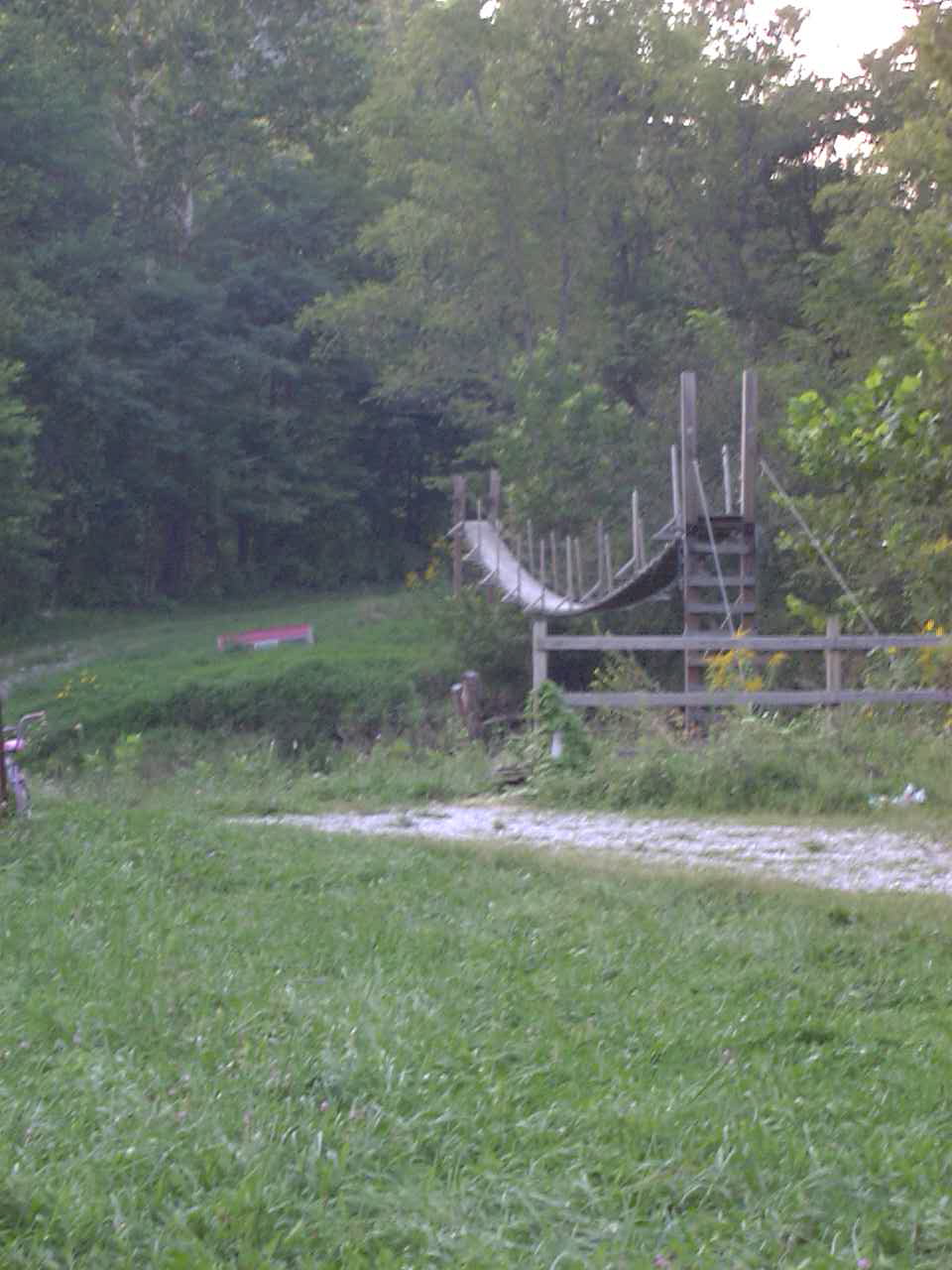
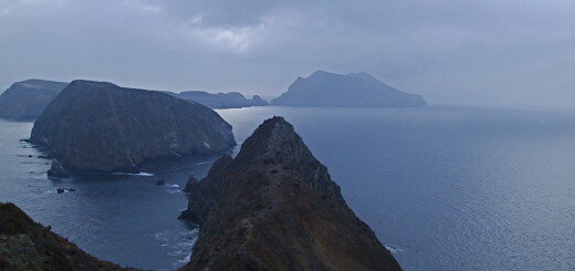
Misty Morning Fog
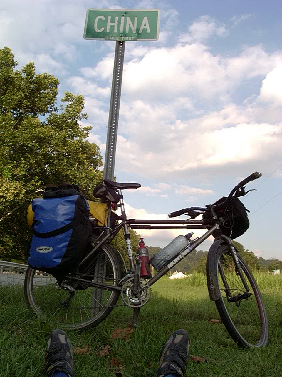
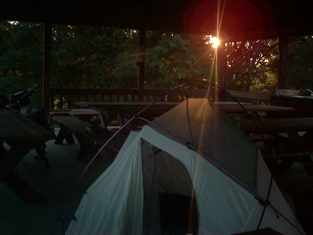
Ohio. Notice my pared down set of gear
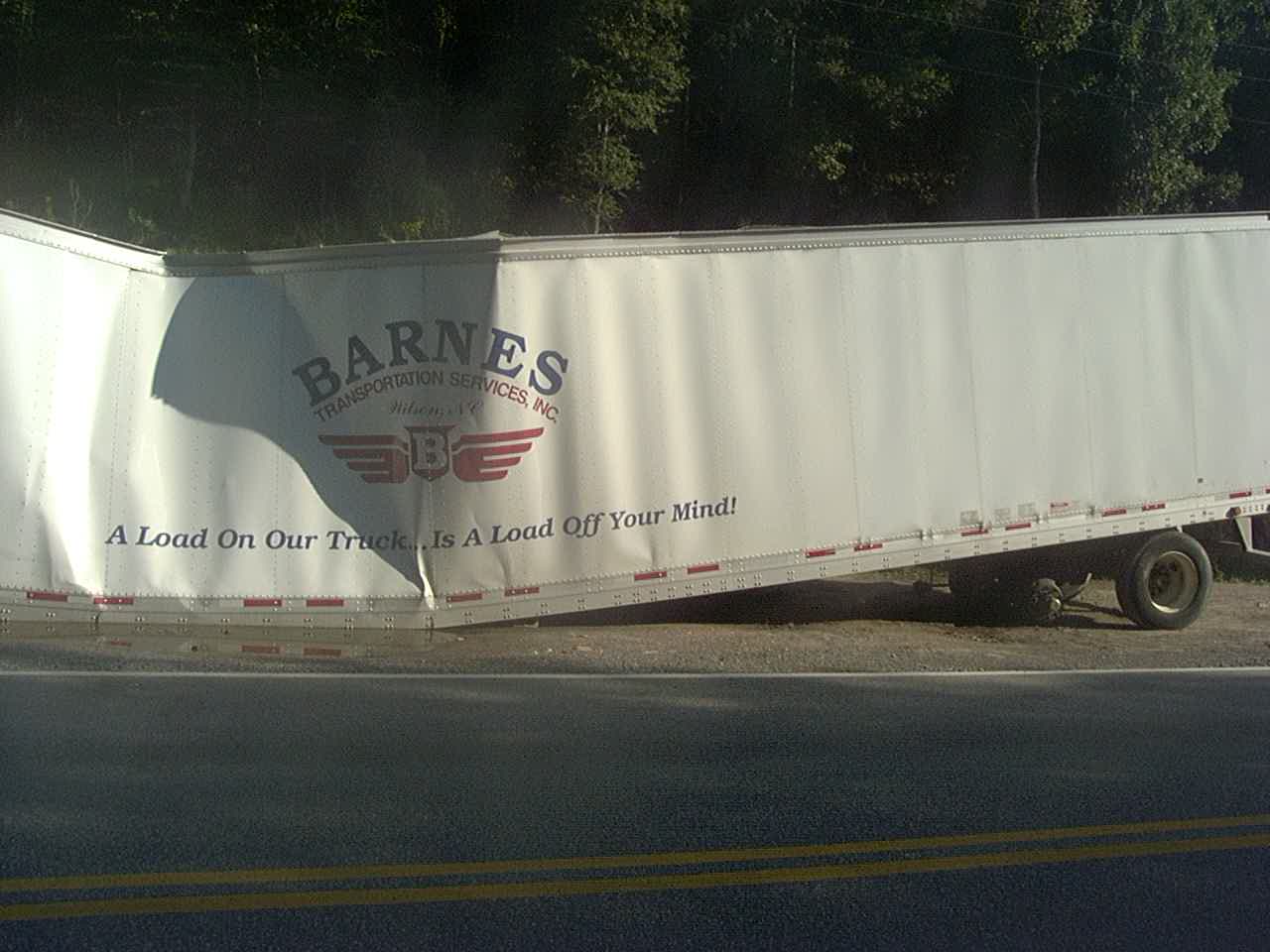
A load on our truck… is a load off your mind!
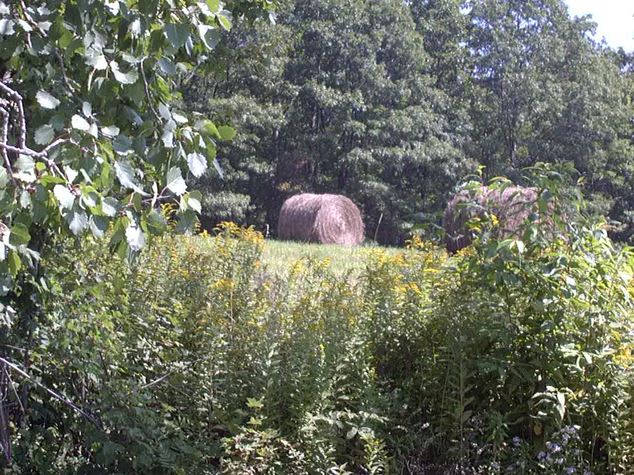
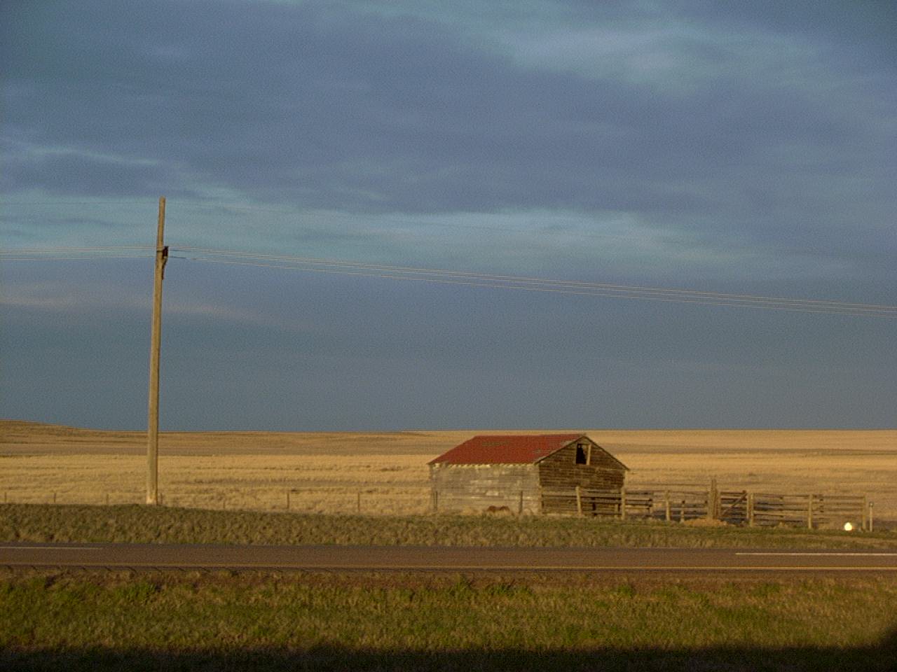
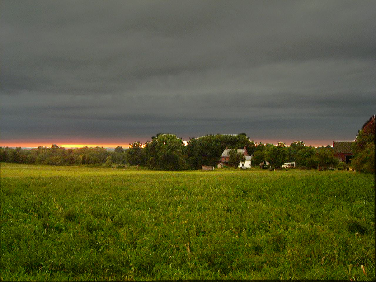
Maryland hay bales
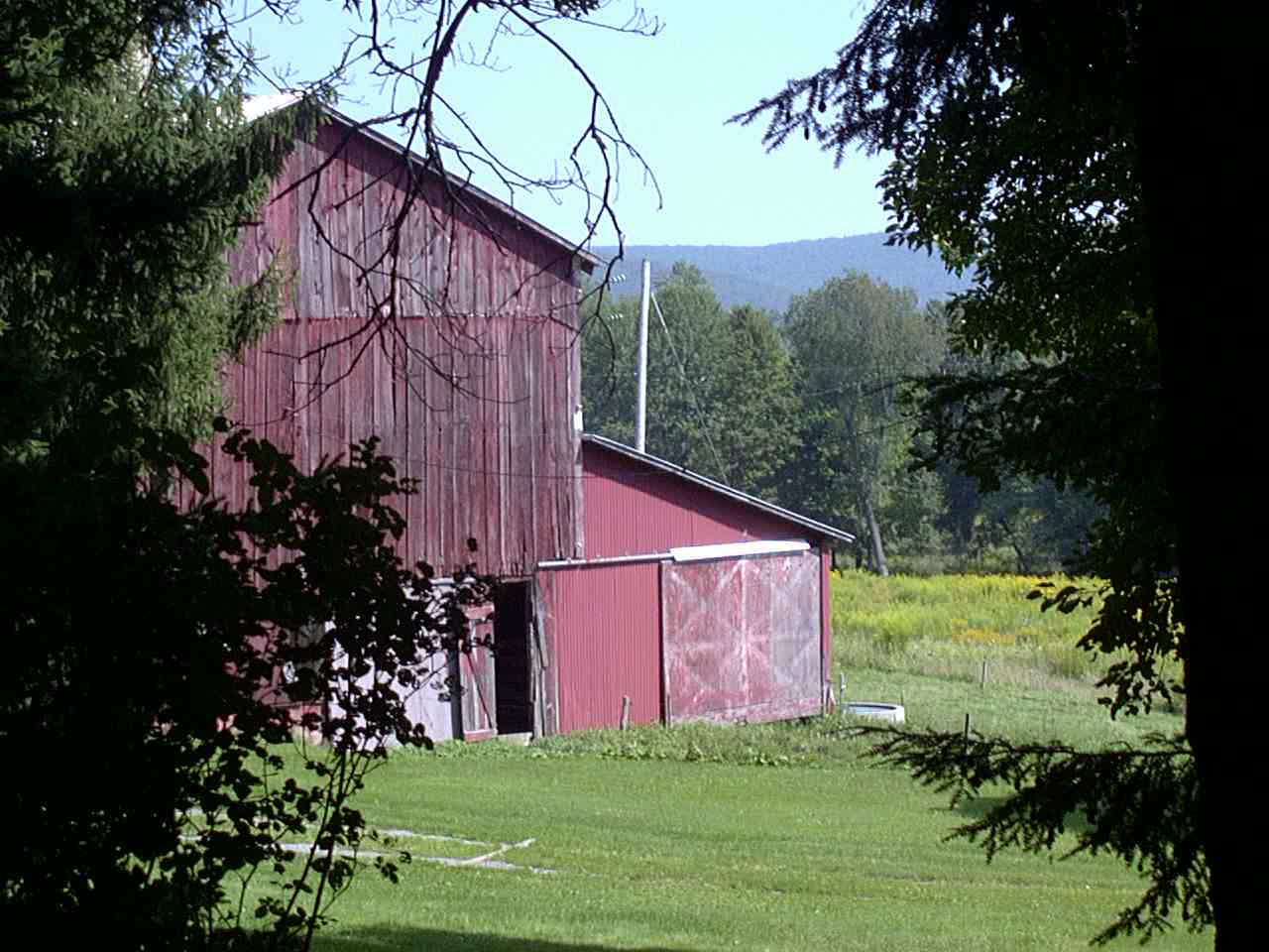
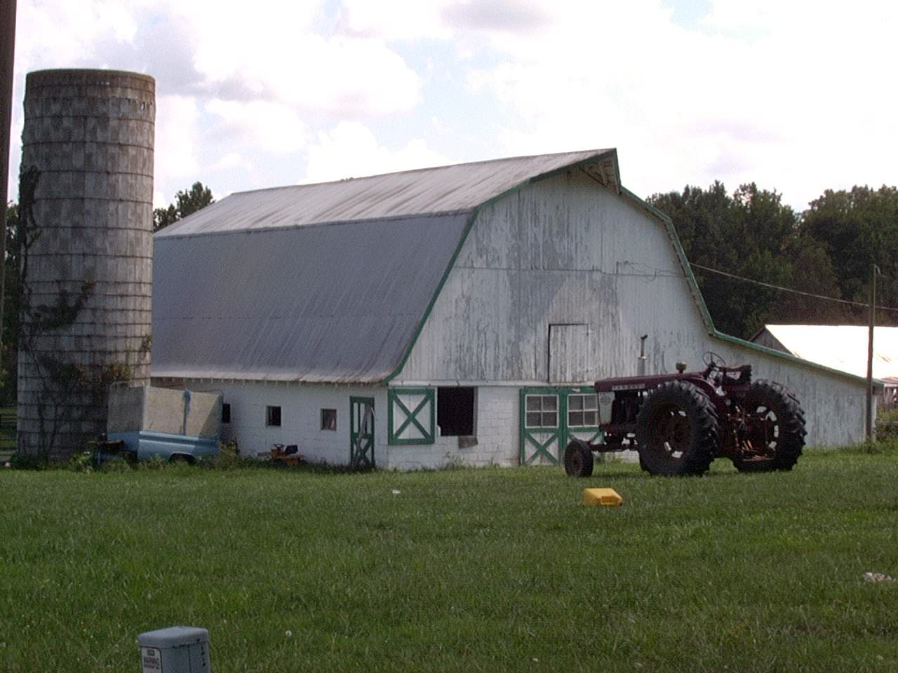
Maryland Barn
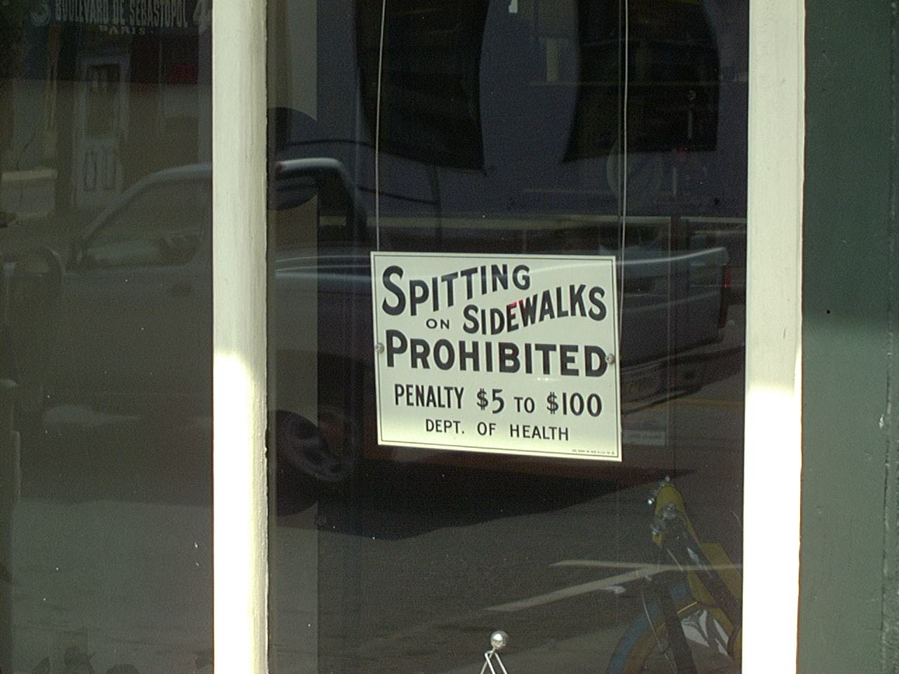
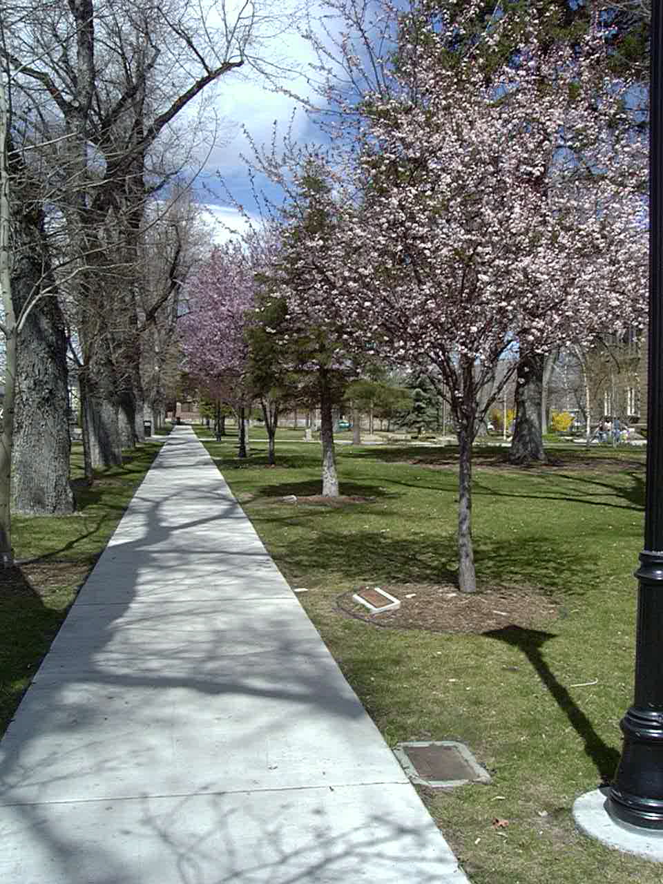
Spitting on the sidewalks prohibited by law
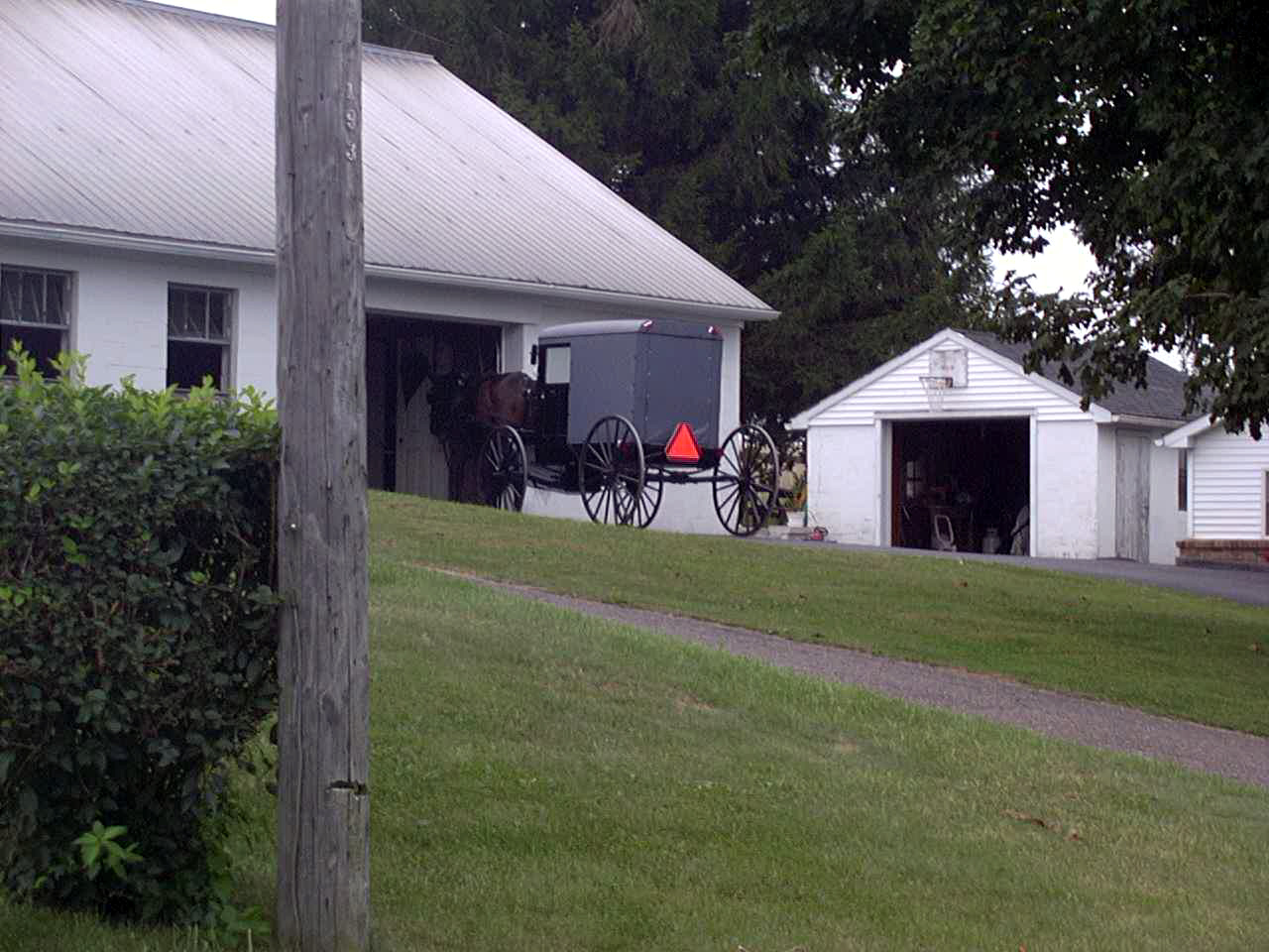
Lancaster horse and carriage
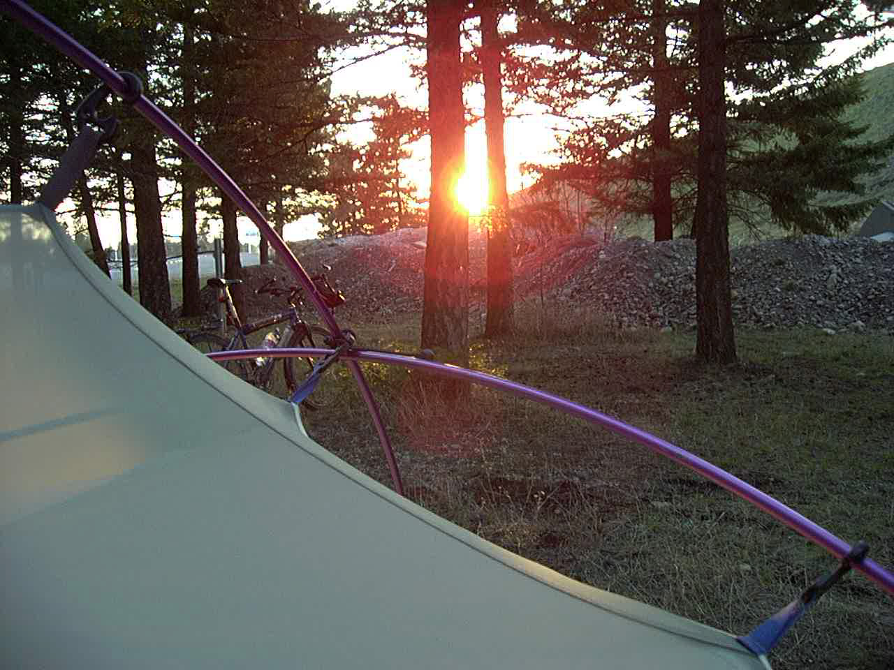
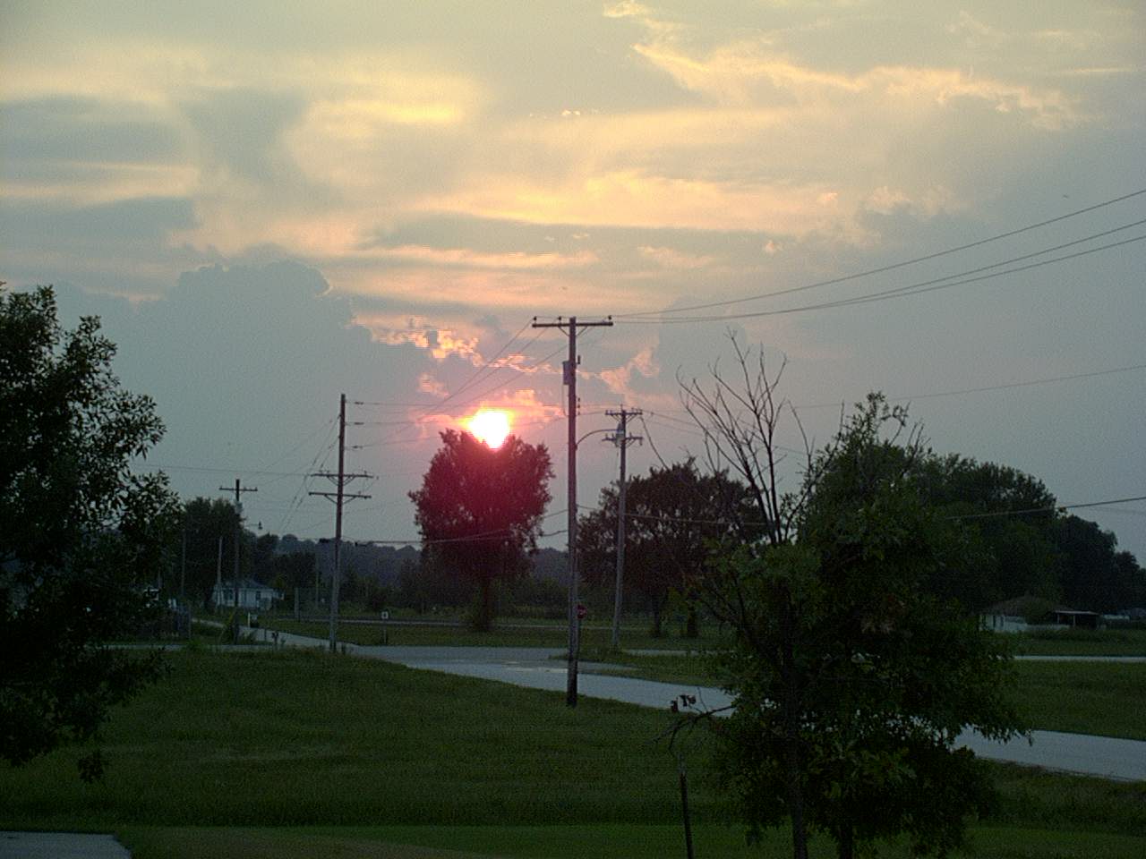
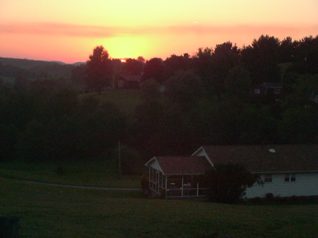
Sunset before the night of September 11th


It was fun to read this again(October 2020). I liked the photos of the scenery and sights but also of the photos of the totally OG rig and attire. I’m guessing you “lost” the trailer after leaving CO. Haunting photo on September 10th. I am guessing July may be a better month for Canada than late spring…Reading this after your travels across the some of the most remote areas of Nevada – and thought of you hitchhiking south because, “……..the scenery was quite monotonous”.
Looking forward to learning more about the trip.
I did the Tour of Colorado a few years back(a couple of times) that when through some of the towns on the route near Aspen and over to Crested Butte.
I wonder what was going on in that area around Aspen for you when you were there.