John Muir Trail
Although light, the snow had been falling for hours. Janet and I were trudging up the first of two 12,000′ passes in knee deep powder and white-out conditions – no sign of a trail....
Exploring good routes and bad ones to help you decide where to go
Although light, the snow had been falling for hours. Janet and I were trudging up the first of two 12,000′ passes in knee deep powder and white-out conditions – no sign of a trail....
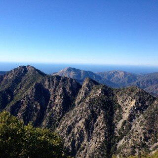
Just North of Point Sur, underneath a sweeping bend in highway 1, the Little Sur River dumps into the ocean. This river makes it’s beginning on the North flanks of Ventana Double Cone and...
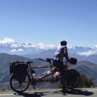
This section does not need as much explanation as the rest of our South America Routes. It is fairly straightforward, and almost entirely paved, and far more services than our previous routes. In spite...
I’ve been meaning to begin a trip from Mineral King, and we finally had an opportunity to squeeze in a 3 day backpacking trip to this new location. The route we selected could be...
This is the map for the entire route discussed in this post. To Export GPX files, click on the three horizontal bars in the upper right hand corner of the map and select Export...
In October of 2017, my late friend
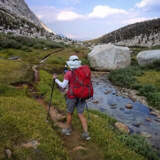
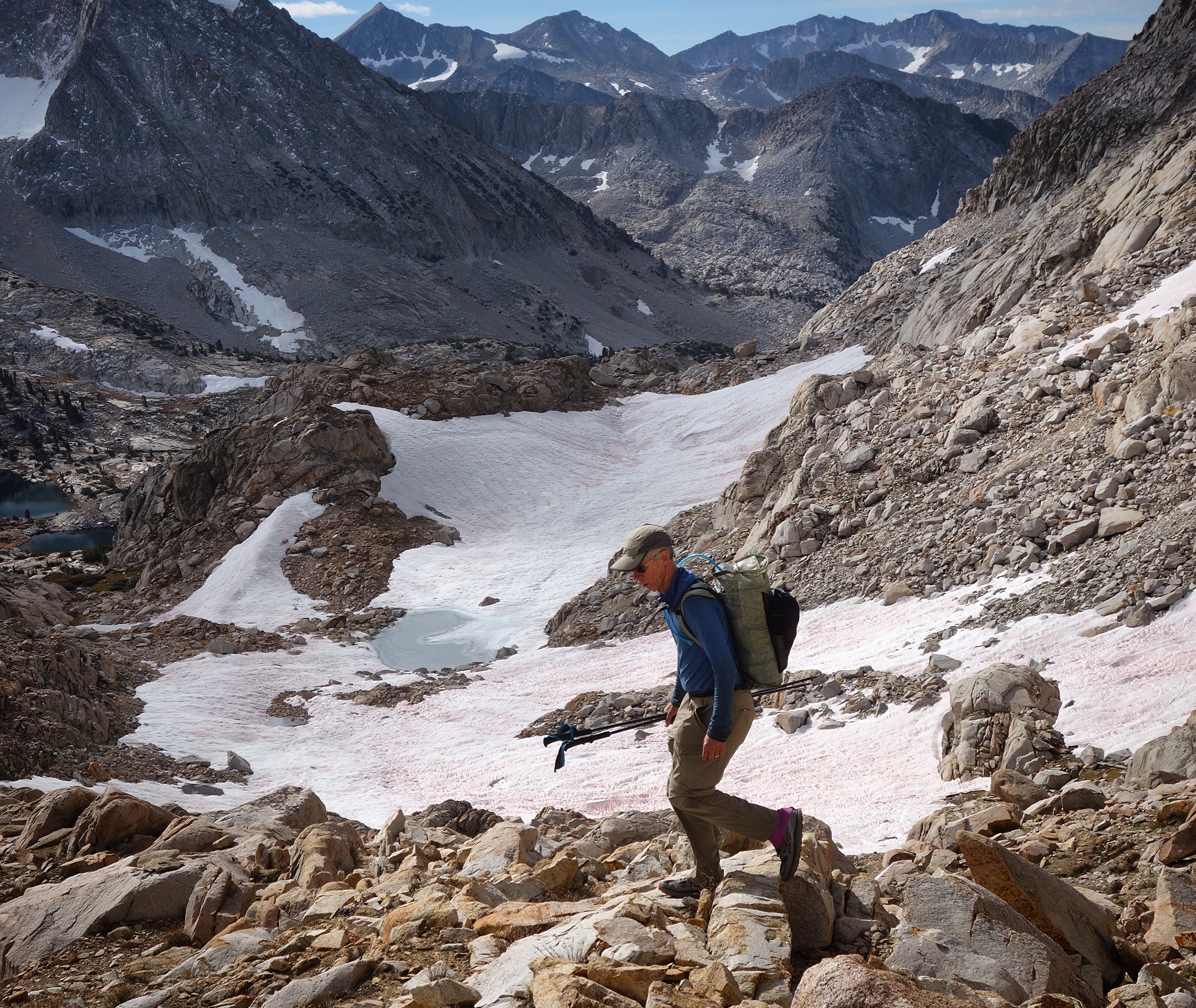
My friend Steve wanted to do a “fastpack” of the John Muir Trail. He aimed to do the trip in about 6 days. He wanted some company, and this sounded exciting to me, so...
One day Janet and I were bikepacking some remote trails in the Los Padres National Forest and we met a couple who told us they were hiking the Condor Trail. Once we got home...

When is a carb not a carb? The great fructose experiment.
August 4, 2023


My Type 1 Diabetes Diagnosis Story
May 31, 2021


Type 1 Diabetes FAQs – What food do you miss the most?
November 12, 2018

Type 1 Diabetes FAQs – You Can’t Eat That, Right?
November 3, 2018

Symlin for use in Type 1 Diabetes
October 30, 2018


August 22, 2017

August 23, 2015

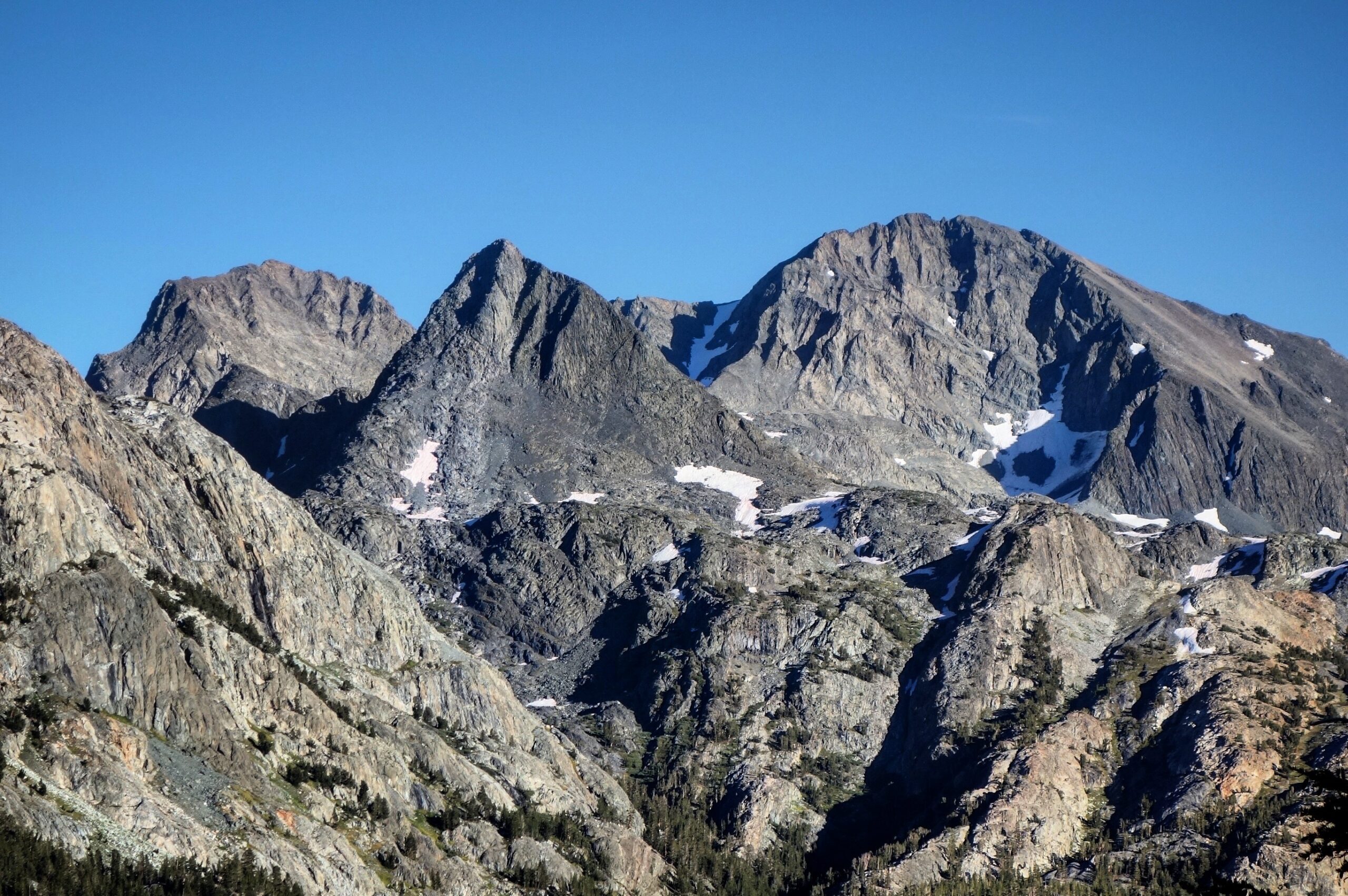
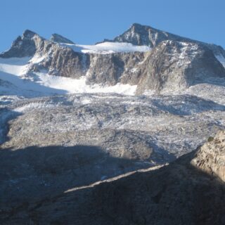
Ionian Basin Traverse and Tehipite Gorge
July 17, 2015
Type 1 Diabetes FAQs – What food do you miss the most?
November 12, 2018

Leor’s Devils Falls and Hellhole Falls Loop
May 16, 2015

February 9, 2024

Utah Bikepacking – All The Routes
September 30, 2021

Bikepacking Death Valley – Valle de la Muerte
February 12, 2021

Wandering the West Bikepack trip
October 23, 2020

October 10, 2019

October 9, 2018

January 12, 2018

December 8, 2015