Kayaking Estero Americano
If you are looking for an easy, calm paddle North of San Francisco, you might want to go to Estero Americano. The put in for this paddle is Right Near Valley Ford (Here is...
Exploring good routes and bad ones to help you decide where to go
If you are looking for an easy, calm paddle North of San Francisco, you might want to go to Estero Americano. The put in for this paddle is Right Near Valley Ford (Here is...
GPS Track for this Route. We checked our tide tables, and put our boats in at MLK regional Shoreline right at the start of Maximum Ebb tide. We figured that this would give us a push...
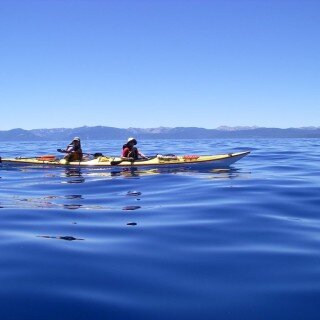
GPS Track for this route. Sand Harbor is an easy place to start your paddle, and it is visually appealing due to the rocks jutting out of the water in the immediate vicinity. We...
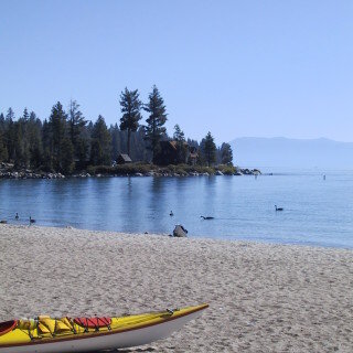
GPS Track for this Route. You can put in your kayak at Meeks bay. If you park along the highway, it isn’t too long of a portage to reach the beach. From there, it...
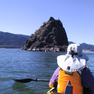
It is possible to kayak down the Columbia River from Bonneville Dam to the mouth of the Columbia River. The distance for the journey is 146 miles, and there are numerous camping sites along...
GPX Track for this Route. My friend Gruppo and I headed to Mono Lake for a quick trip this spring. Prior to departure, we discovered that the islands in the middle of Mono Lake are...
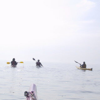
GPS Track for this Route We decided to prepare for our Channel Islands Kayaking trip by doing an overnighter in Tomales Bay. We started from the beach at Chicken Ranch (free overnight parking) and...
It was a sunny July Afternoon, so Peter, Sylvia, Janet, and I headed out into the bay in our kayaks. We had planned to make the lap around Bair Island, but we knew right...

When is a carb not a carb? The great fructose experiment.
August 4, 2023


My Type 1 Diabetes Diagnosis Story
May 31, 2021


Type 1 Diabetes FAQs – What food do you miss the most?
November 12, 2018

Type 1 Diabetes FAQs – You Can’t Eat That, Right?
November 3, 2018

Symlin for use in Type 1 Diabetes
October 30, 2018


August 22, 2017

August 23, 2015

Ionian Basin Traverse and Tehipite Gorge
July 17, 2015
Type 1 Diabetes FAQs – What food do you miss the most?
November 12, 2018

Leor’s Devils Falls and Hellhole Falls Loop
May 16, 2015

February 9, 2024

Utah Bikepacking – All The Routes
September 30, 2021

Bikepacking Death Valley – Valle de la Muerte
February 12, 2021

Wandering the West Bikepack trip
October 23, 2020

October 10, 2019

October 9, 2018

January 12, 2018

December 8, 2015