Gila River Ramble
Janet and I had so much fun on the Baja Divide that we were inspired to explore a little corner of Arizona: The Superstition Mountains. Janet knew about these mountains growing up nearby as a child, but she hadn’t really explored them. Plus, the Arizona Trail did not exist back then. This route was developed by Scott Morris, and his contribution is cataloged on bikepacker.com. In this blog post, I’ll detail some route improvements to help you complete the route after the changes. Namely, there are two sections of the ramble which are problematic. The first is the Northernmost portion – due to a highway reroute, the AZT connector seems to have been obliterated. The second issue is the Gila River crossing, which on the official route is choked with Tamarisk.
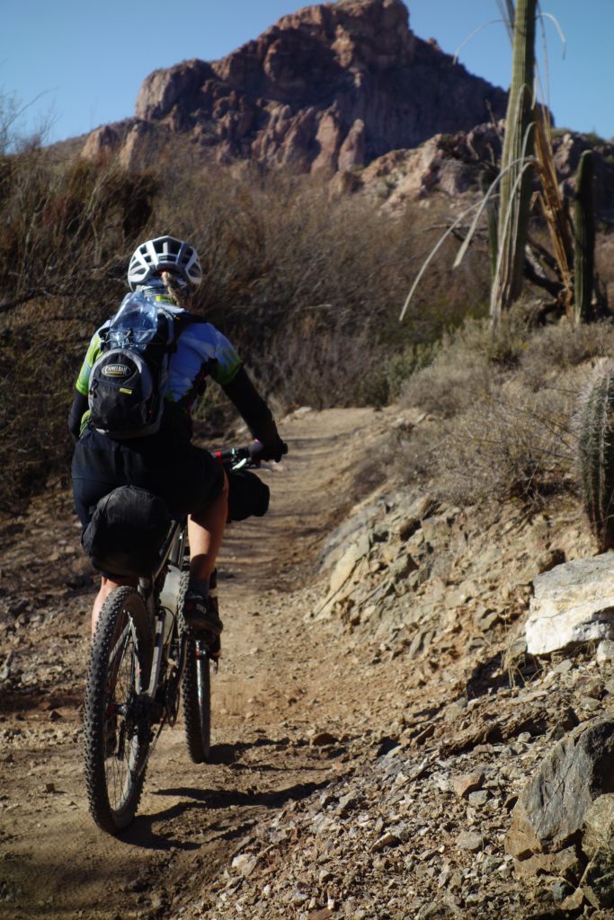
Janet on the climb from the Glia towards Superior. We did the route in the counter-clockwise direction.
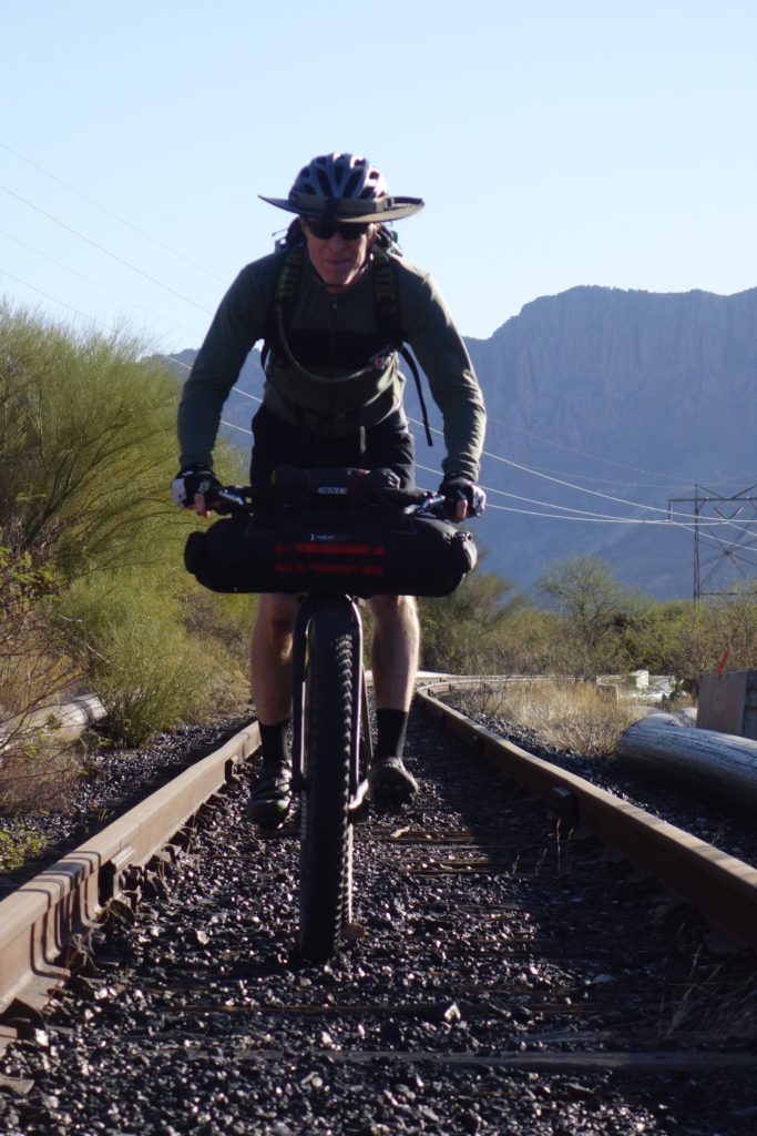
Stan and I tried to follow the published route for the so-called ice-cream loop. Unfortunately, portions of the AZT connector from Superior seem to have vanished due to a highway reroute.
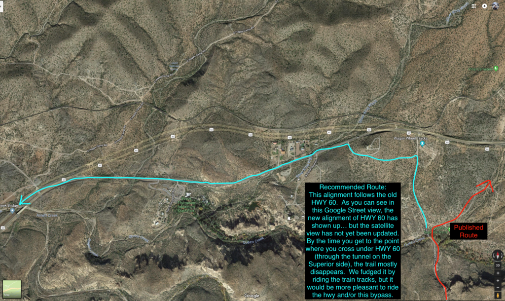
Here I show a possible route which can be downloaded here (warning – I have not physically scouted this route; I base it on the satellite view and the fact that the route on the North side of the road no longer exists due to a highway realignment).
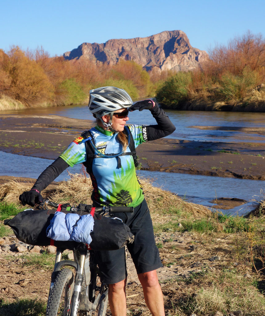
The published route takes you to a thick grove of tamarisk. This section appears to be impassible, so we fashioned an alternative route across the river. We do not recommend that you follow our route, but will discuss suggested alternatives.
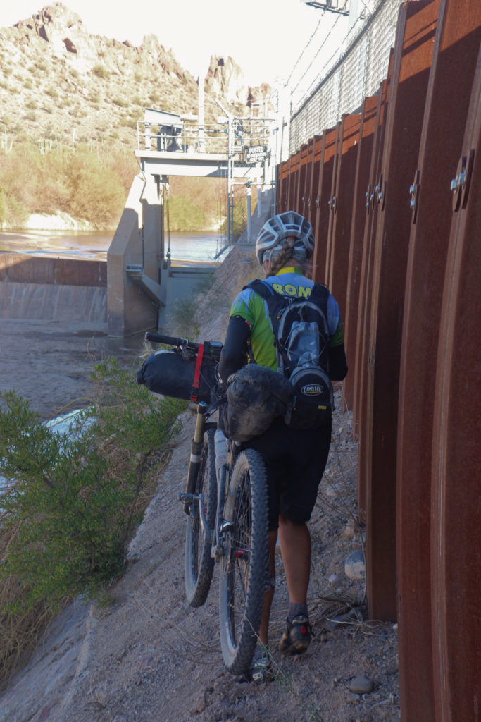
This is us on our version of the Gila River crossing. The plus is that we did not need to get our feet wet or risk being washed away in the cold river. The negative was that we had to climb over two fences, and technically we were not supposed to be here.
A lot of the surface has changed in the Gila River since the original track was made. The river has re-routed somewhat, and there is a very thick section of tamarisk making the original route take a couple hours to accomplish less than a mile (I researched other peoples’ GPS tracks from trying to cross).
Here is a GPS track to get you across the river without dealing with the tamarisk. We intended to follow this route that I’m sharing here, but the water was uncomfortably high when we arrived. In fact, it was about 2 or 3 feet deeper than when These guys crossed. **If you back the video up a little, you can also see what the original crossing looks like.
Because the river was deeper than we felt comfortable crossing, we climbed up on the dam, which after having done so, isn’t really recommended. You also could ride down the dirt road (towards the West) another 5 miles, and there is a dirt crossing there with (presumably) much lower water.
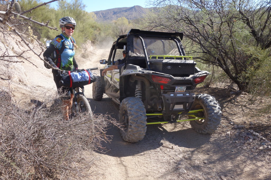
We went through the box canyon on a weekend. If I were to do this trip over again, I’d try to do this portion on a week day so there would be fewer ATVs. The rest of the route was great in terms of traffic – obviously ATVs can’t go on the AZT!
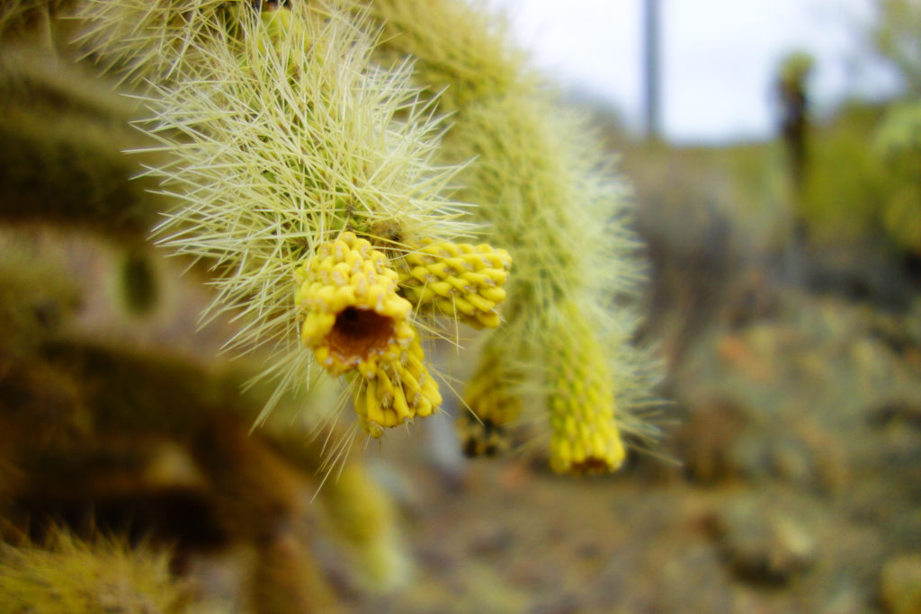
The cholla or “jumping cactus.” We had a lot of debate as to whether or not these cacti really jump. There were stories of static electricity drawing them to you. In the end, we were attacked by two of them – but science seems to say that they don’t actually jump.
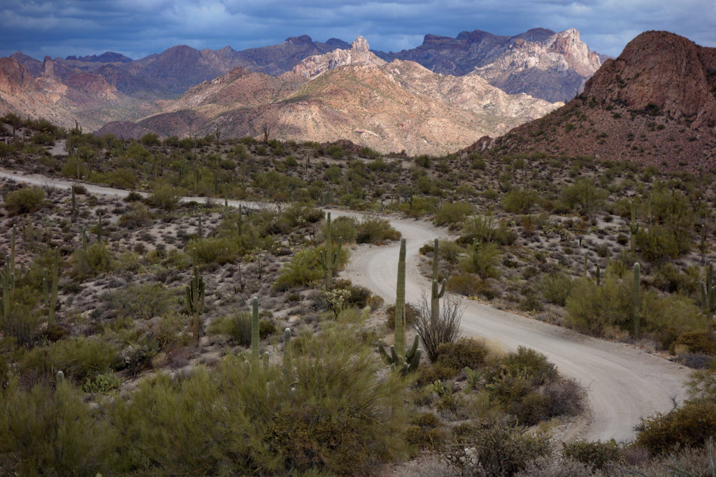
Cool lighting on the last day. We rode along the Florence-Kelvin Highway for a bit, which made for fast and fun travel.
This is the map for the entire route discussed in this post. To Export GPX files, click on the three horizontal bars in the upper right hand corner of the map and select Export selected map data…
To see full screen, click here (opens in new window)


Has anyone done this route recently 2021/2022? Is this GPX accurate. Any recommendations, route directions, clockwise or counter clockwise? Thanks in advance for any info..
Is there a physical map that I can purchase for this ride?
Brandon – There isn’t a map for the entire route (that I know of). Your best resource is going to be here: https://bikepacking.com/routes/arizona-bikepacking-gila-river-ramble/ You may also be able to get a paper map of the Arizona trail… but only part of this route is on the AZ trail. Best of luck!