Kayaking to the South Bay Wreck (USS Thompson)
It was a sunny July Afternoon, so Peter, Sylvia, Janet, and I headed out into the bay in our kayaks. We had planned to make the lap around Bair Island, but we knew right away that the water was too low. I’ve decided that the tide chart needs to read 4 feet or higher in order to make it around Bair Island (the most shallow part is the Northermost end). We headed out to the South Bay Wreck instead. This wreck is (was) called the USS Thompson, and it was sunk in the mud flats many years ago. If you are planning to go to the wreck by kayak, keep in mind that the South Bay (North of the Dumbarton Bridge) can get pretty rough. The water is especially rough in the deep water channel (check your charts) when there is a strong current. The worst conditions I have experienced have been during with a Northerly wind and a strong ebb tide. The waves can get pretty big during these conditions!
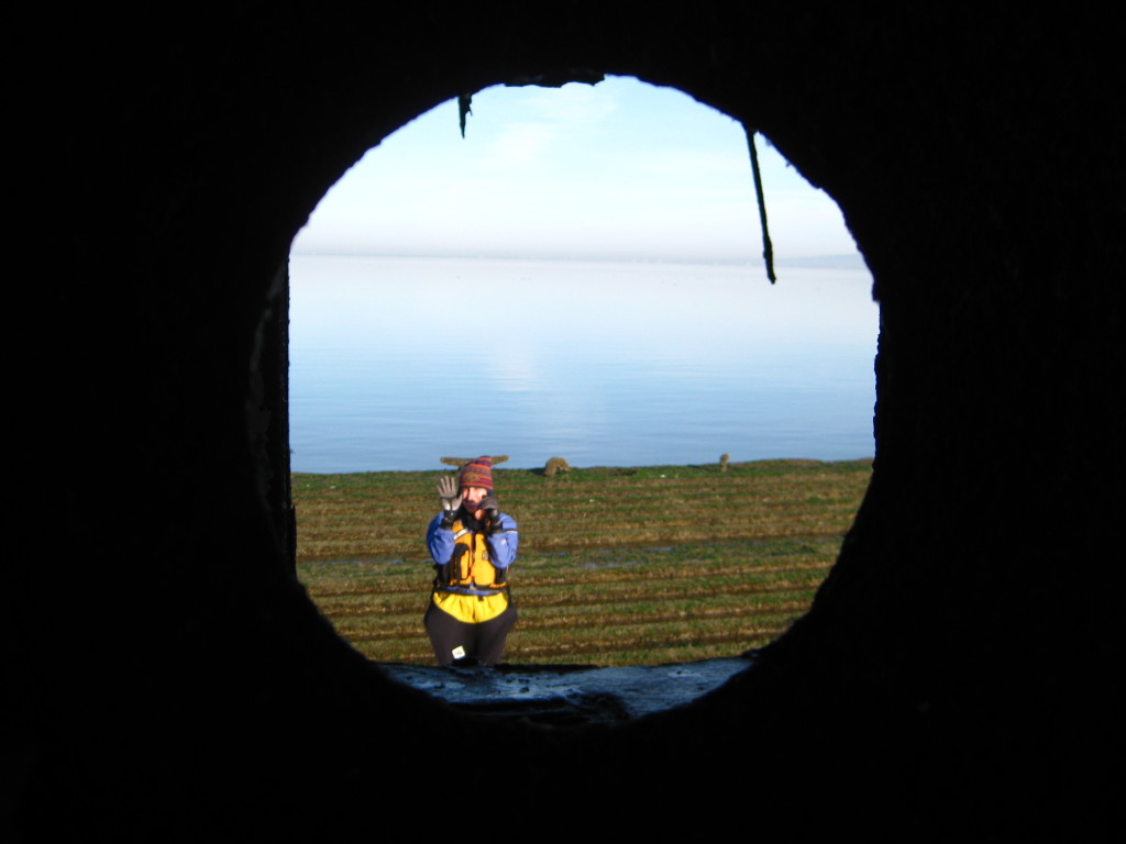
I have kayaked to the South Bay Wreck many, many times. The pictures included in this post are from a trip made with my sister February 22, 2012. This was one of the best trips because it was made very early in the day. Other trips were not as good for photography, as standing waves towering overhead required all attention on paddling, and made it difficult to land on the boat.

With some climbing around, you can get to unique parts of the ship. Remember, most of the ship is under water except at low tide. We selected a particularly low tide so we could spend as much time as possible exploring the ship.

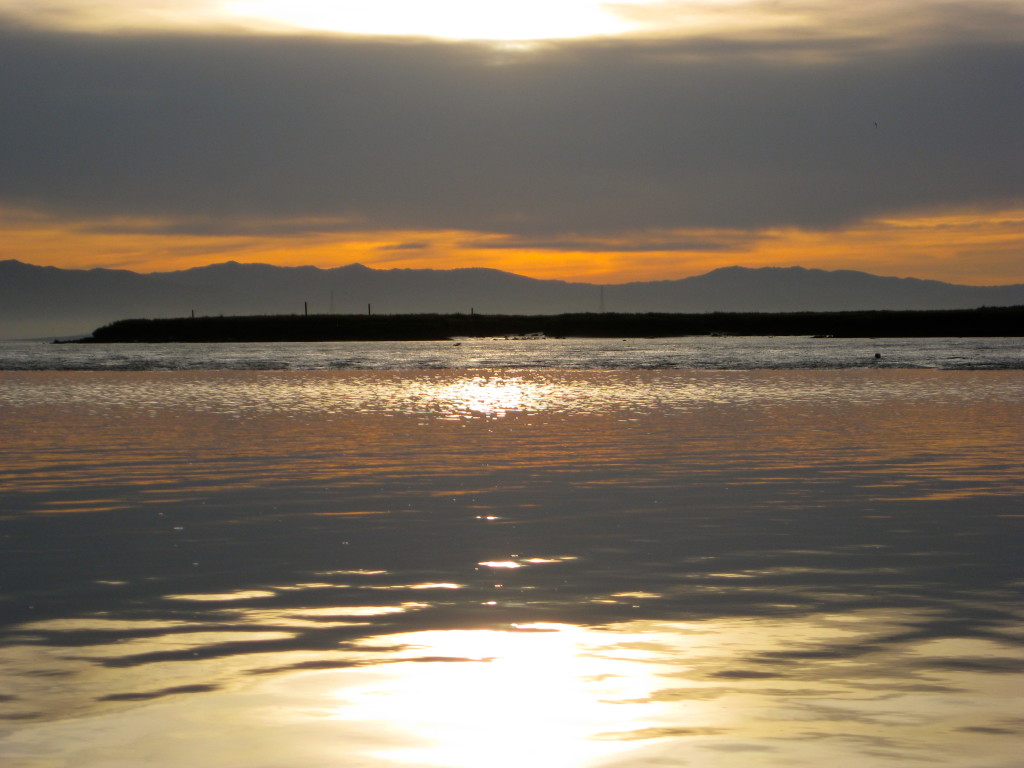
A good time to visit the South Bay Wreck is at sunrise. The water is calm and the lighting is excellent. I have gone at sunset as well, but when you have summer northerlies combined with an ebb tide, the water can become very difficult. I’ve paddled through overhead waves (that completely washed over me) under these circumstances. Sunrise is much better.


