Mountain Biking in Colorado

Day1 – 08/23/2008 Hole in the Ground Trail 16 miles, 2000′ of climbing
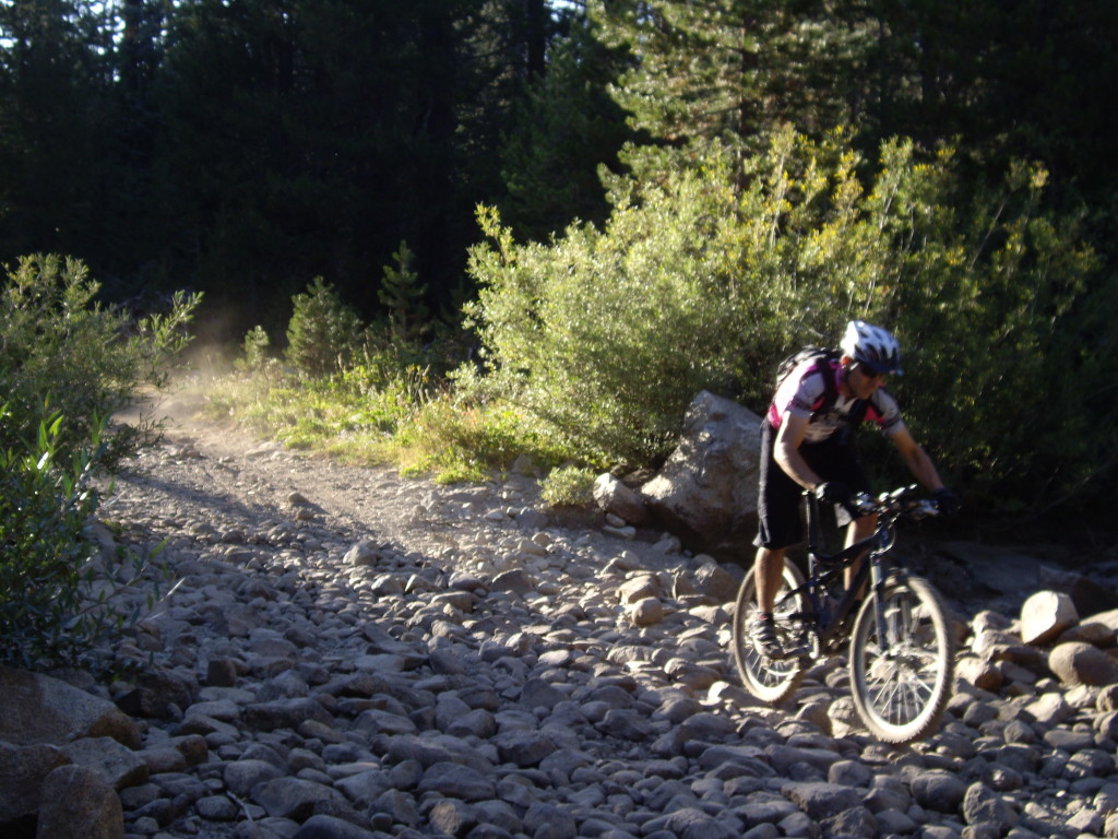
Hole in the ground is a classic Tahoe trail (I know, it's not in Colorado, the title of this Blog post, but it was part of our trip.  One of the greatest loop mountain bike rides I know of in the Sierra, along with the 007 trail.  Hole in the ground keeps you entertained with good scenery, and changing terrain - baby head boulders, smooth trail, and plenty of challenges.

Hole in the ground is a classic Tahoe trail (I know, it’s not in Colorado, the title of this Blog post, but it was part of our trip. One of the greatest loop mountain bike rides I know of in the Sierra, along with the 007 trail. Hole in the ground keeps you entertained with good scenery, and changing terrain – baby head boulders, smooth trail, and plenty of challenges.

Day3 – 08/25/2008 Solitude Ski Resort Smoky Day 18 miles, 3000′ of climbing.
Parking is available off Big Cottonwood Canyon Road on FR023

Parking is available off Big Cottonwood Canyon Road on FR023

Ascend Big Cottonwood Canyon road, and exit for Wasatch Crest Trail (comes before Guardsman pass)

Ascend Big Cottonwood Canyon road, and exit for Wasatch Crest Trail (comes before Guardsman pass)

Wasatch Crest Trail has great views!

Wasatch Crest Trail has great views!

Wasatch Crest Trail

Wasatch Crest Trail

Descend to Small Desolation Lake

Descend to Small Desolation Lake

The lower portion has aspens before you reach Big Cottonwood Canyon road for an ascent back to your car.

The lower portion has aspens before you reach Big Cottonwood Canyon road for an ascent back to your car.

Day4 – 08/26/2008 Mid Mountain Spiro Trail – Park City
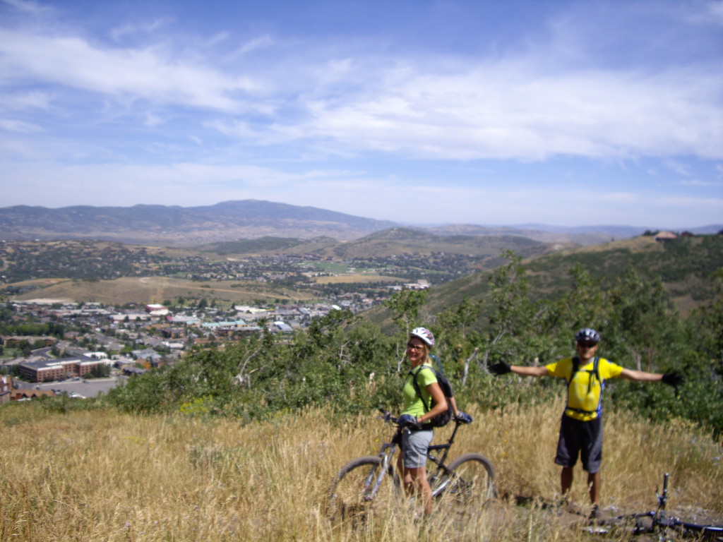
Parking can be found near Empire Avenue and Silver King Drive.  From here, go up to Three Kings Drive, and ascend to Spiro Trail.  Spiro Trail is a nice ascent in the Aspens, and it opens up at higher elevation passing beneath the Silver Star lift.

Parking can be found near Empire Avenue and Silver King Drive. From here, go up to Three Kings Drive, and ascend to Spiro Trail. Spiro Trail is a nice ascent in the Aspens, and it opens up at higher elevation passing beneath the Silver Star lift.

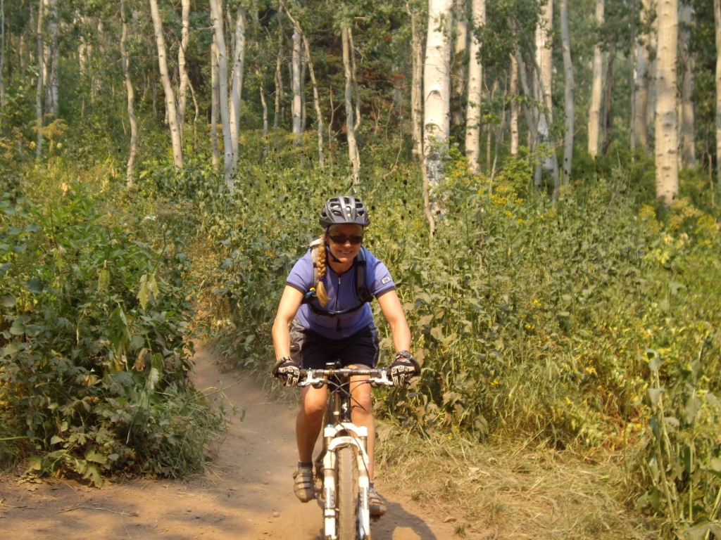
As you continue on the Spiro Trail, you begin riding through the Aspens

As you continue on the Spiro Trail, you begin riding through the Aspens

Day5 – 08/27/2008 Sweeneys Mid Mountain Silver Lake

More Aspen riding.

More Aspen riding.

Day7 – 08/29/2008 Crag Crest (Grand Mesa)
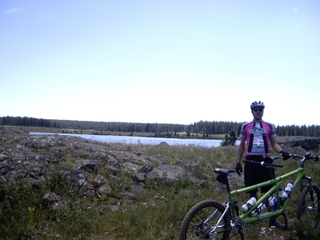
Crags Crest rewards you with great scenery!  Parking is available at Spruce Grove Campground.  From here, ascend quiet HWY 65 to 118, where you can take an easy scenic side trip on trails.

Crags Crest rewards you with great scenery! Parking is available at Spruce Grove Campground. From here, ascend quiet HWY 65 to 118, where you can take an easy scenic side trip on trails.
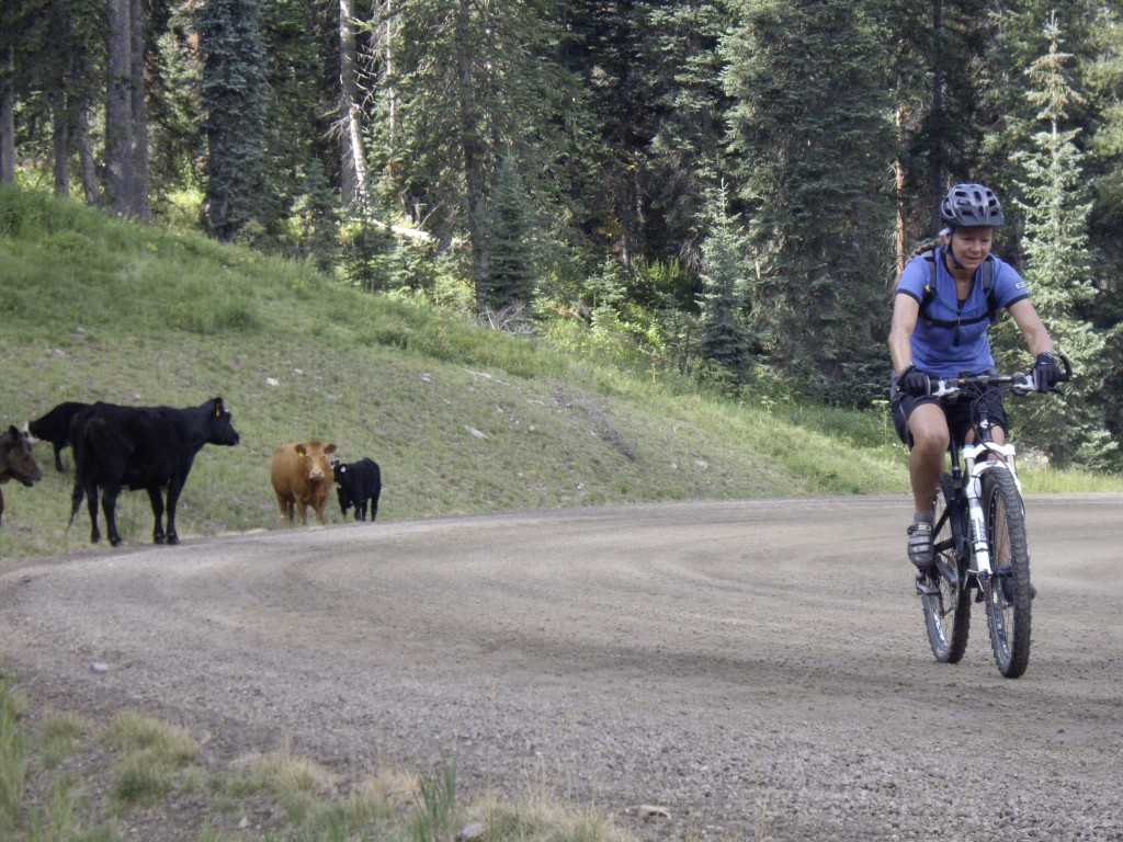
Overlooking Island Lake from Crag Crest

Overlooking Island Lake from Crag Crest

Some of the trail along Crag crest can be faint.

Some of the trail along Crag crest can be faint.

IMGP4461.JPG

IMGP4462.JPG

IMGP4470.JPG
Day10 – 09/01/2008 Dyke_Trail

To start the Dyke Trail, park on CR12, just above the Cliff Creek Trail #840.  This is a good place to start because you will finish on a descent (unless you prefer to climb at the end of your ride).  Climb CR 12 up to Irwin Lake Road.  Ride down to Irwin Lake campground, and then begin the Dyke Trail.

To start the Dyke Trail, park on CR12, just above the Cliff Creek Trail #840. This is a good place to start because you will finish on a descent (unless you prefer to climb at the end of your ride). Climb CR 12 up to Irwin Lake Road. Ride down to Irwin Lake campground, and then begin the Dyke Trail.
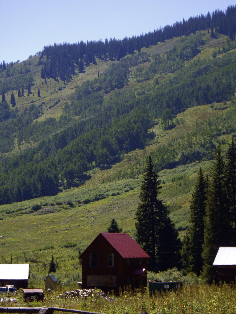
Great scenery along the Dyke Trail

Great scenery along the Dyke Trail

Great scenery along the Dyke Trail

Great scenery along the Dyke Trail

Some small challenges on Dyke Trail

Some small challenges on Dyke Trail

Some small challenges on Dyke Trail

Some small challenges on Dyke Trail

IMGP4506.JPG
Day11 – 09/02/2008 401 Trail

One of the best rides you can do in Colorado is the 401 trail.  We began at the Gothic Campground, which requires a dirt-road drive on NFR 317.  From there, ascend the dirt road toward Schofield Pass

One of the best rides you can do in Colorado is the 401 trail. We began at the Gothic Campground, which requires a dirt-road drive on NFR 317. From there, ascend the dirt road toward Schofield Pass
Emerald Lake just below Schofield Pass

Emerald Lake just below Schofield Pass

Views from the 401 Trail as you are climbing up above Schofield pass.

Views from the 401 Trail as you are climbing up above Schofield pass.

Day12 – 09/03/2008 403 Trail

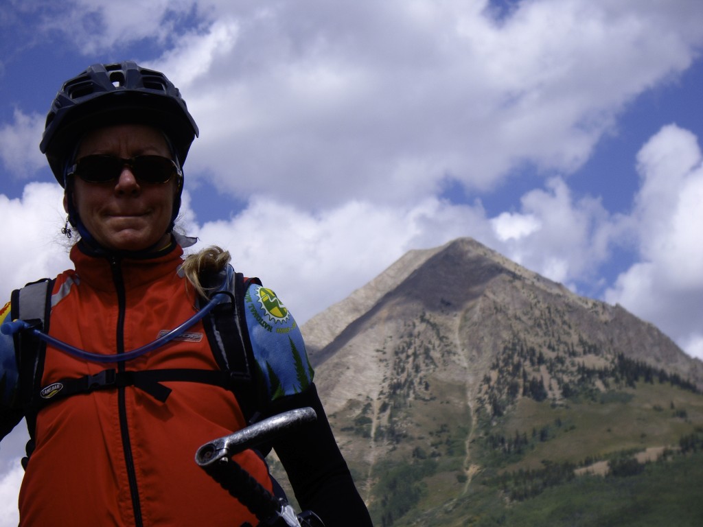
Another Great ride: the 403 trail - can also be started by leaving from the Gothic Campground.  This makes the Gothic Campground a good place to set up shop for a 2 day trip.  This is Janet in front of Gothic Mountain.  The 403 trail is superb like the 401 trail.

Another Great ride: the 403 trail – can also be started by leaving from the Gothic Campground. This makes the Gothic Campground a good place to set up shop for a 2 day trip. This is Janet in front of Gothic Mountain. The 403 trail is superb like the 401 trail.

IMGP4532.JPG IMGP4534.JPG

One of the more interesting challenges along the 403 trail

One of the more interesting challenges along the 403 trail

Beautiful scenery from the 403 trail

Beautiful scenery from the 403 trail

You will want to sit and relax in these wooden chairs on the 403 Trail

You will want to sit and relax in these wooden chairs on the 403 Trail

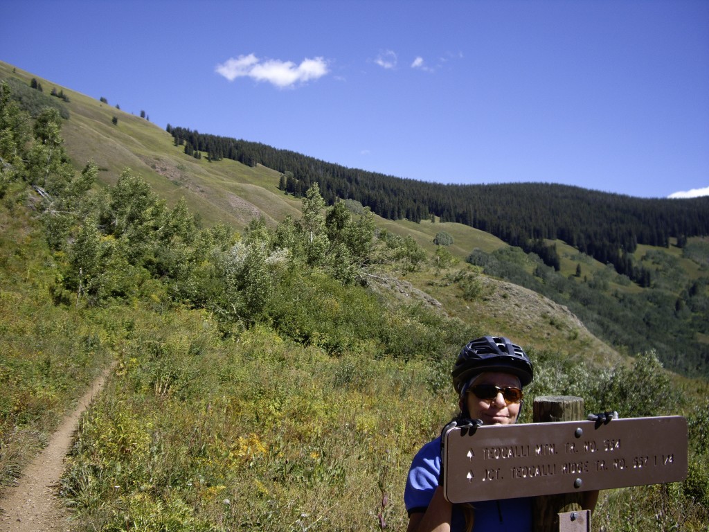
Day13 – 09/04/2008 Teocalli Ridge

The Teocalli Ridge trail can be ridden as a loop of you are willing to ford the rapidly flowing Bruch Creek.  We started near the intersection of Deer Creek Road and Brush Creek Road. .  From here, we ascended the Teocalli trail up to it's boundary with the Maroon Bells Snowmass Wilderness.  The trail skirts this wilderness boundary before descending back to your parking spot.  It is recommended to ride this loop in the clockwise direction.

The Teocalli Ridge trail can be ridden as a loop of you are willing to ford the rapidly flowing Bruch Creek. We started near the intersection of Deer Creek Road and Brush Creek Road. . From here, we ascended the Teocalli trail up to it’s boundary with the Maroon Bells Snowmass Wilderness. The trail skirts this wilderness boundary before descending back to your parking spot. It is recommended to ride this loop in the clockwise direction.

Day14 – 09/05/2008 Deer Creek Trail
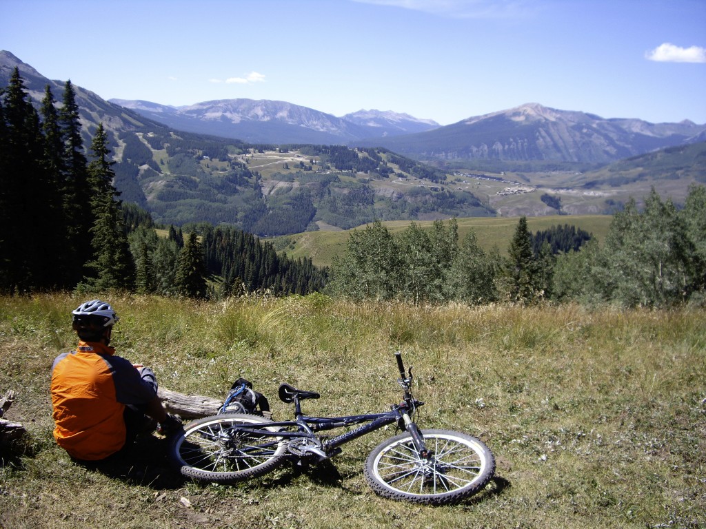
The deer Creek Trail is a somewhat technical route that keeps you occupied most of the way.  The logical short loop is not legal (following the East River Drainage).  So, you will need to do some road riding to get around as seen in the GPS track linked above. I made it a full loop by taking trails on the West and South Side of Mt. Crested Butte.  These trails are quite good as well.

The deer Creek Trail is a somewhat technical route that keeps you occupied most of the way. The logical short loop is not legal (following the East River Drainage). So, you will need to do some road riding to get around as seen in the GPS track linked above. I made it a full loop by taking trails on the West and South Side of Mt. Crested Butte. These trails are quite good as well.

A massive landslide along the Deer Creek Trail

A massive landslide along the Deer Creek Trail

A massive landslide along the Deer Creek Trail

A massive landslide along the Deer Creek Trail

Deer Creek Trail Challenge section.

Deer Creek Trail Challenge section.

Deer Creek Trail Challenge section.

Deer Creek Trail Challenge section.

Rocks and Aspen on Deer Creek Trail

Rocks and Aspen on Deer Creek Trail

Day15 – 09/06/2008 Block and Tackle Trail Double Top Waterfall
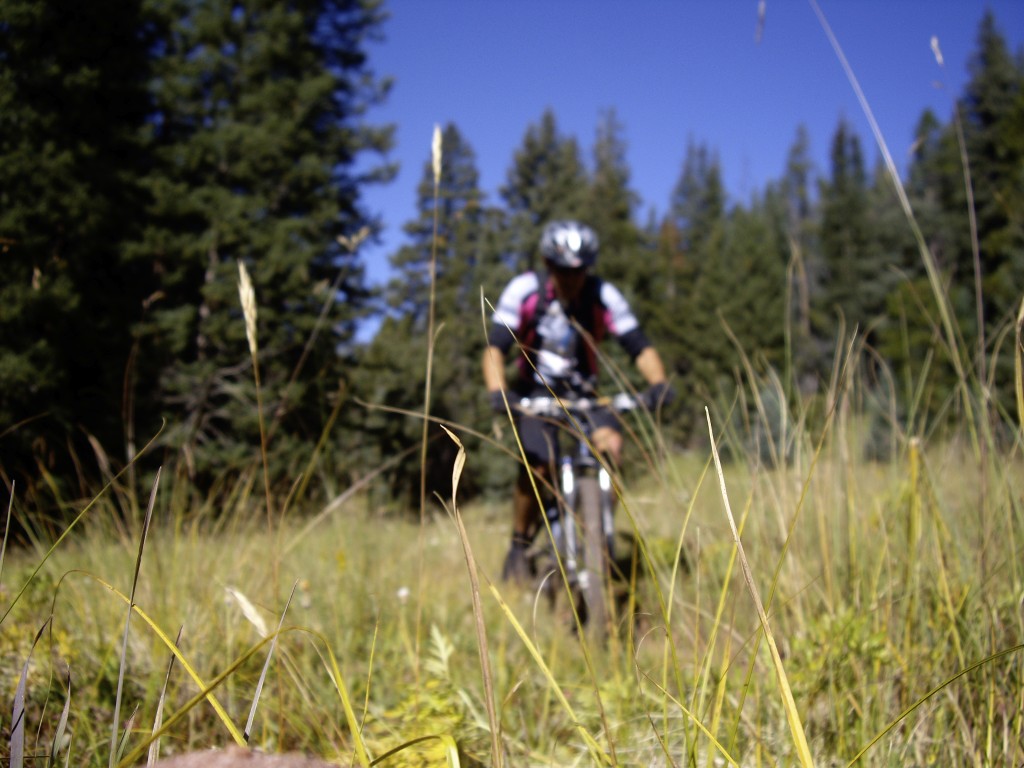
I did the Block and Tackle trail as an out and back.  I will not discuss the particulars of this route much because it was very difficult, and not recommended in this direction.  If you wish to try riding the Block and Tackle Trail, you may want to do it in the opposite direction (counter clockwise as a loop).  I did it as a point to point with a shuttle.

I did the Block and Tackle trail as an out and back. I will not discuss the particulars of this route much because it was very difficult, and not recommended in this direction. If you wish to try riding the Block and Tackle Trail, you may want to do it in the opposite direction (counter clockwise as a loop). I did it as a point to point with a shuttle.
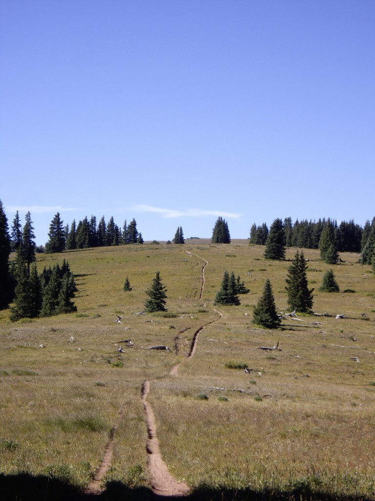
Although it looks like beautiful riding, this terrain is difficult on a bicycle because you hit your pedals frequently on the sides of this ditch.

Although it looks like beautiful riding, this terrain is difficult on a bicycle because you hit your pedals frequently on the sides of this ditch.

Day17 – 09/08/2008 Silverton to Telluride
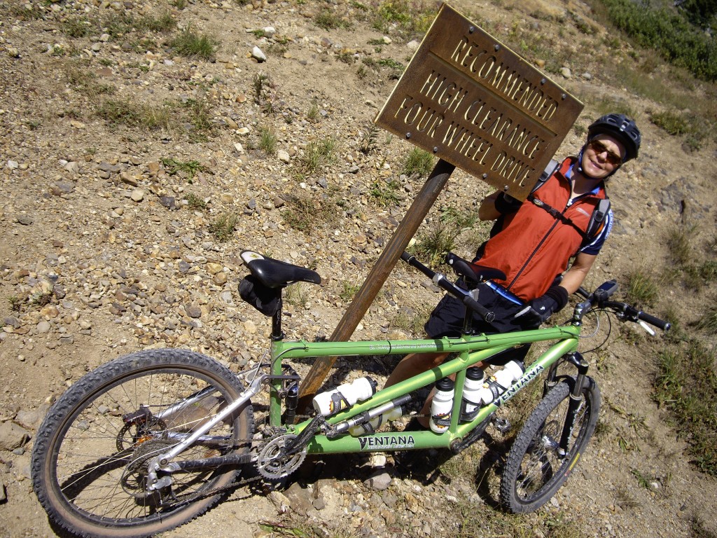
We took a toothbrush and a credit card and rode over Black Bear Pass.  This route is all road/fire road.  I only show it here for archival purposes.  There is some stunning scenery over the pass and down on the Telluride side - but no single track.

We took a toothbrush and a credit card and rode over Black Bear Pass. This route is all road/fire road. I only show it here for archival purposes. There is some stunning scenery over the pass and down on the Telluride side – but no single track.

IMGP4657.JPG

The view of Telluride as you drop down from Black Bear Pass.

IMGP4649.JPG IMGP4650.JPG IMGP4651.JPG
Day18 – 09/09/2008 Ride back to Silverton from Telluride over Ophir Pass
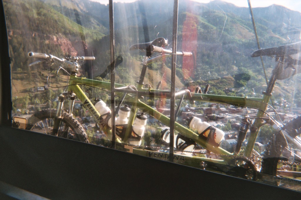
Before riding over Ophir Pass, we took the free Gondola up the mountain and We rode the prospect trail down.
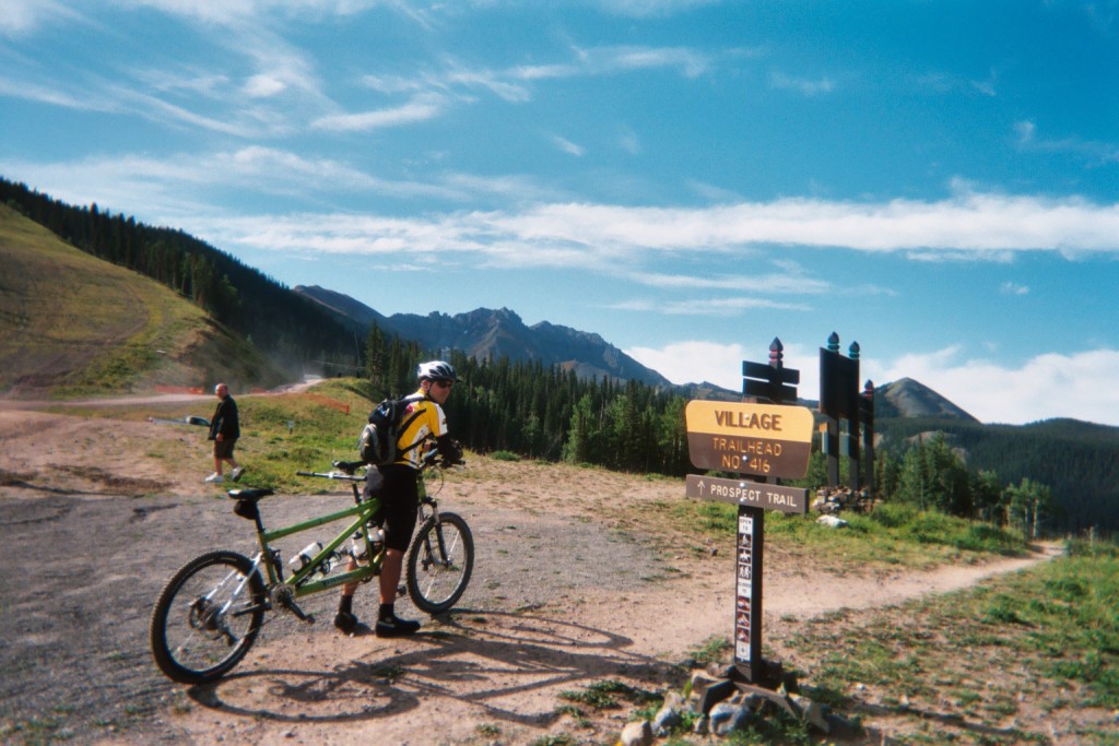
Before riding over Ophir Pass, we took the free Gondola up the mountain and We rode the prospect trail down.

Before riding over Ophir Pass, we took the free Gondola up the mountain and We rode the prospect trail down.

Before riding over Ophir Pass, we took the free Gondola up the mountain and We rode the prospect trail down.

Climbing up to Ophir Pass

Climbing up to Ophir Pass

At the top of Ophir Pass

At the top of Ophir Pass

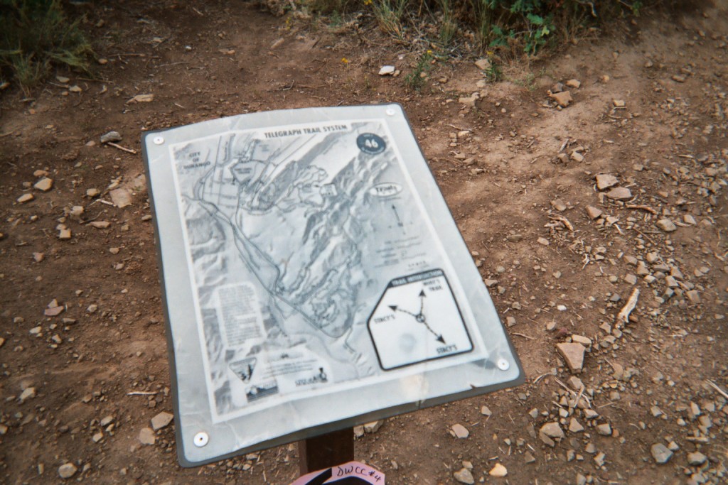
Day19 – 09/10/2008 Mike’s Trail

My sister and brother in law had a good friend named Mike Meyers.  He was a great adventurer, but he was sadly killed in an abalone diving accident at a young age.  He had lived in Durango for a short time and made some friends there.  In his memory, they made a trail called "Mike's trail" named after him.  There is a bench dedicated to his memory.  We decided to go out and ride it.  We had to run away from lightning storms on this day, but it ended up being a great ride!

My sister and brother in law had a good friend named Mike Meyers. He was a great adventurer, but he was sadly killed in an abalone diving accident at a young age. He had lived in Durango for a short time and made some friends there. In his memory, they made a trail called “Mike’s trail” named after him. There is a bench dedicated to his memory. We decided to go out and ride it. We had to run away from lightning storms on this day, but it ended up being a great ride!

Day20 – 09/11/2008 Hermosa Creek Trail in Durango

We were getting a little tired of riding after 3 straight weeks.  Also, this trail was a little difficult for our tandem.  There is not a reasonable loop option.  As such, we turned around when we did.

We were getting a little tired of riding after 3 straight weeks. Also, this trail was a little difficult for our tandem. There is not a reasonable loop option. As such, we turned around when we did.

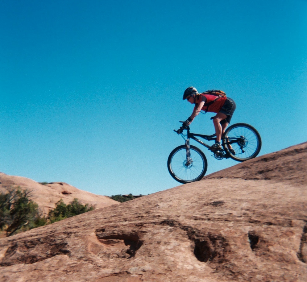
Day21 – 09/12/2008 Moab Slickrock trail.

Moab Slickrock Trail

Moab Slickrock Trail

Moab Slickrock Trail

Moab Slickrock Trail

Moab Slickrock Trail

Moab Slickrock Trail

Moab Slickrock Trail

Moab Slickrock Trail

You may also like...

1 Response

  1. hops says:

    I Wanna Go!!!

Leave a Reply

Your email address will not be published. Required fields are marked *