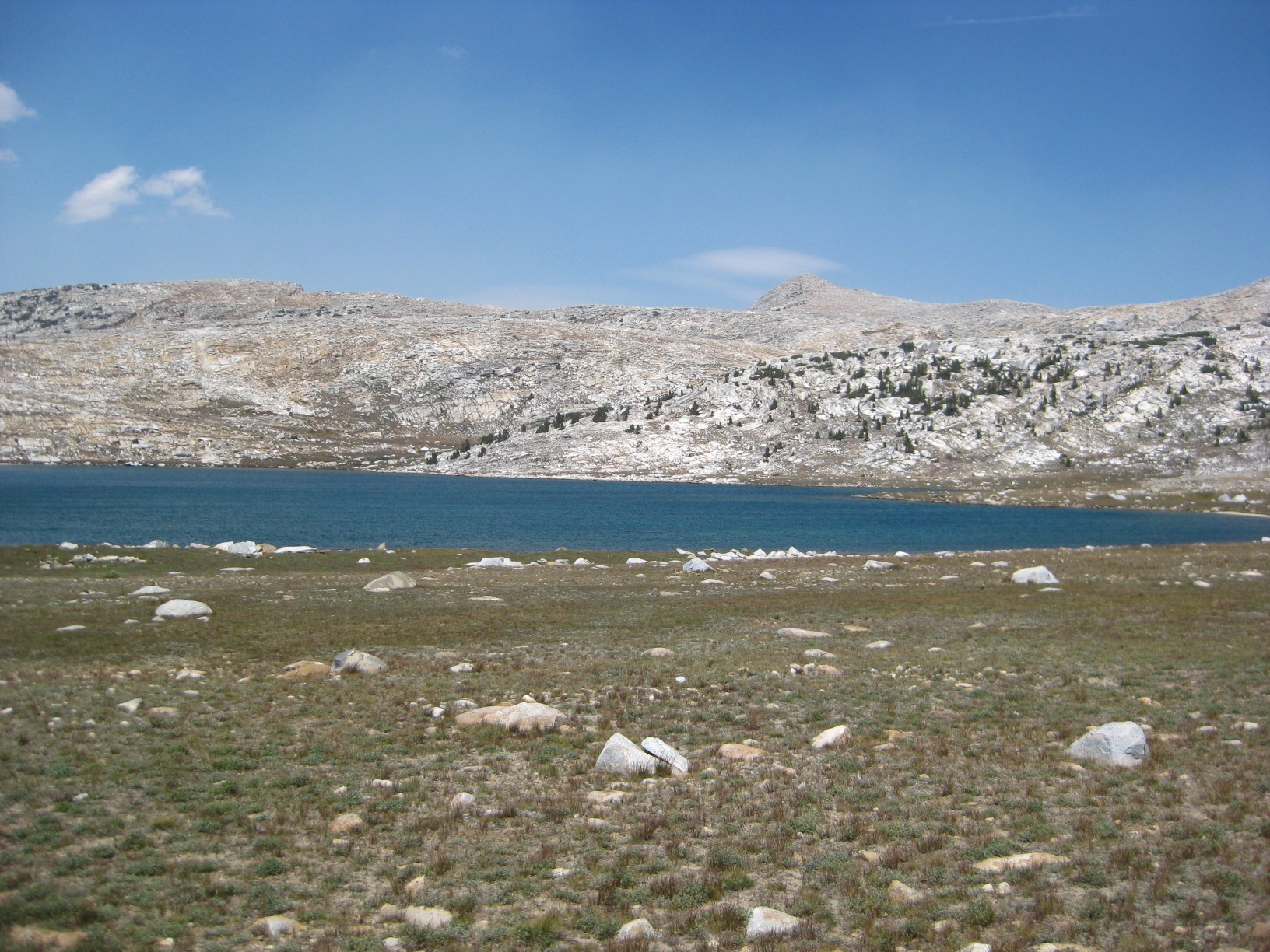
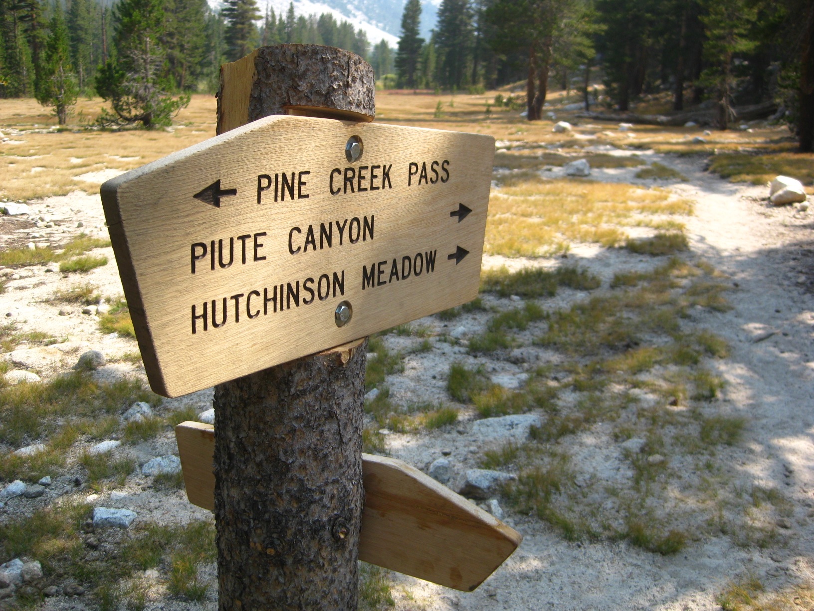
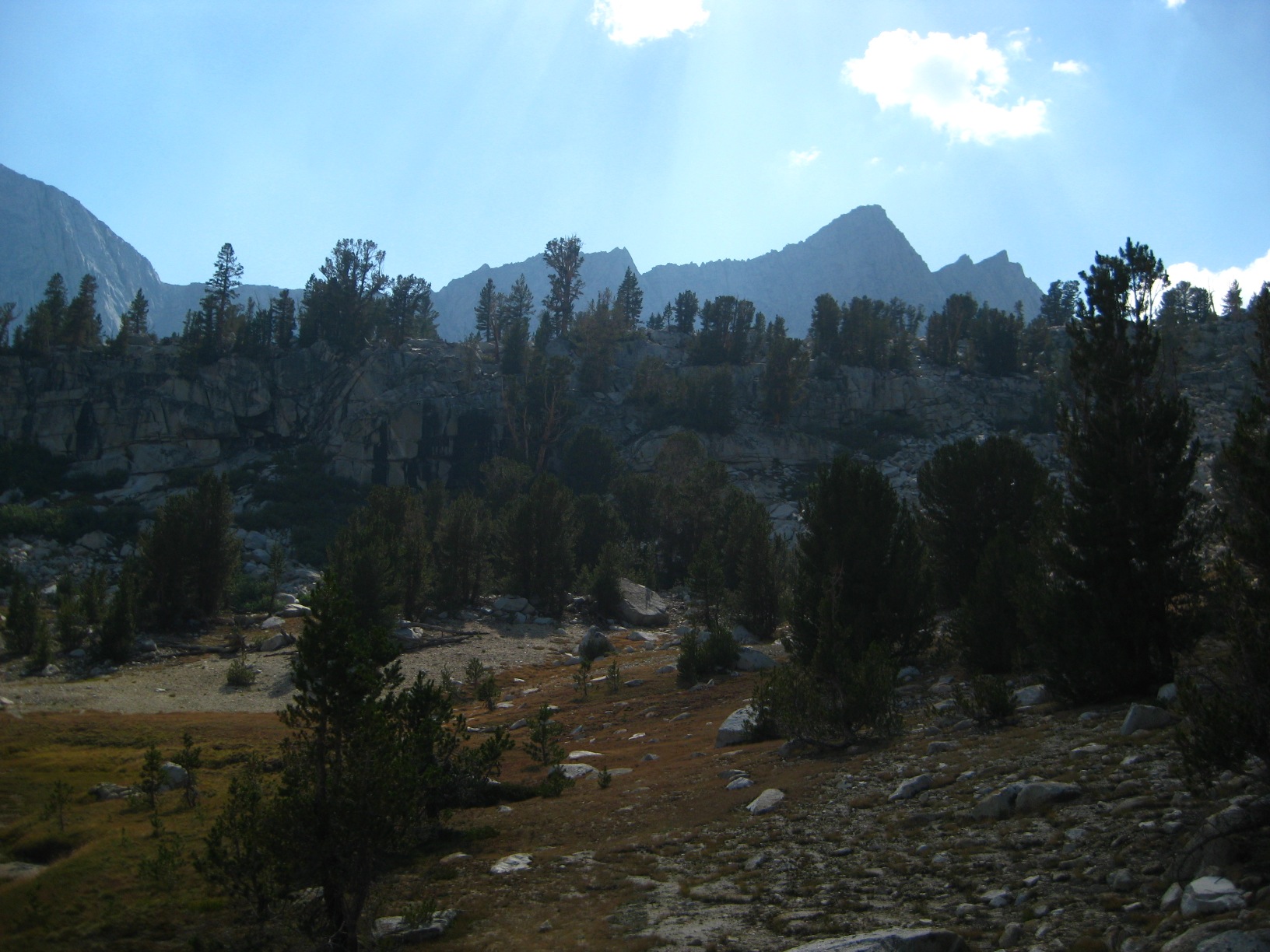
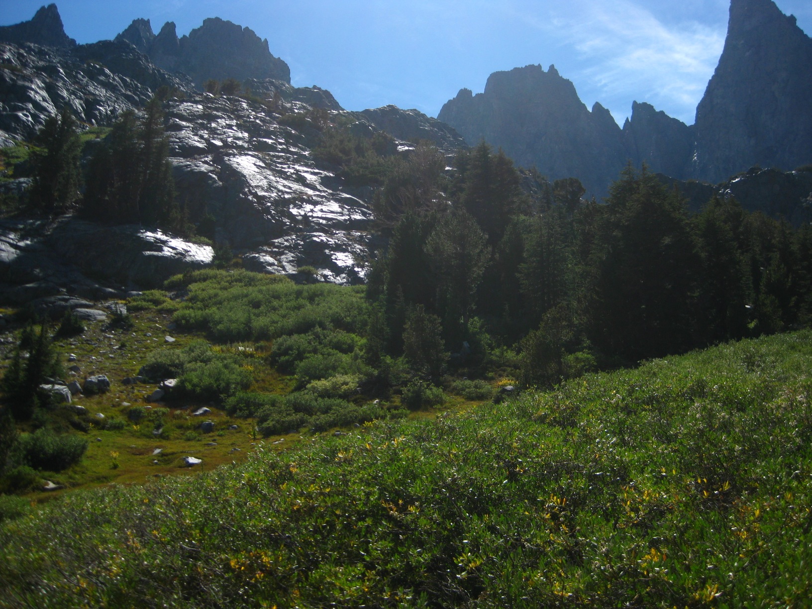
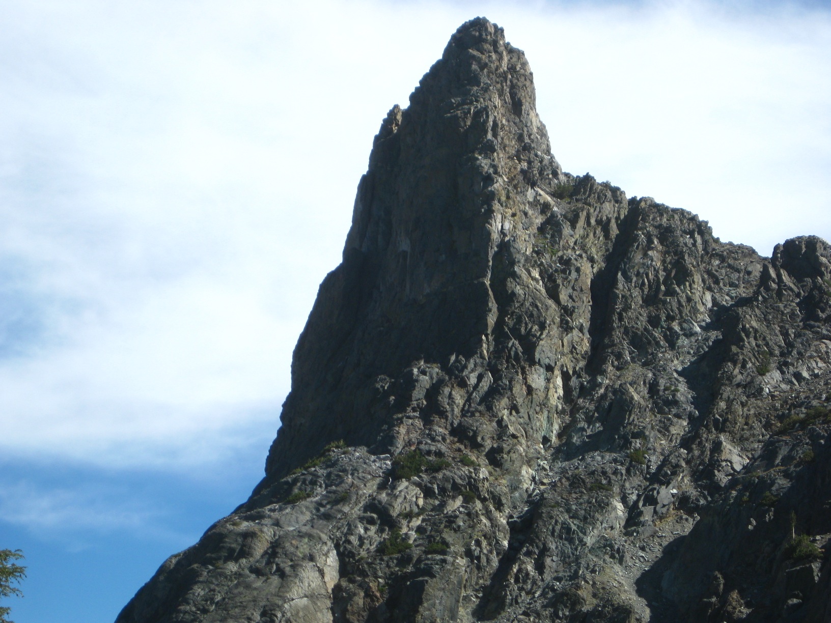
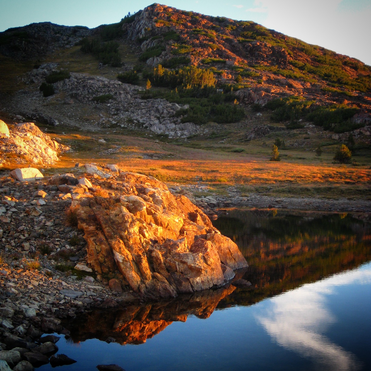
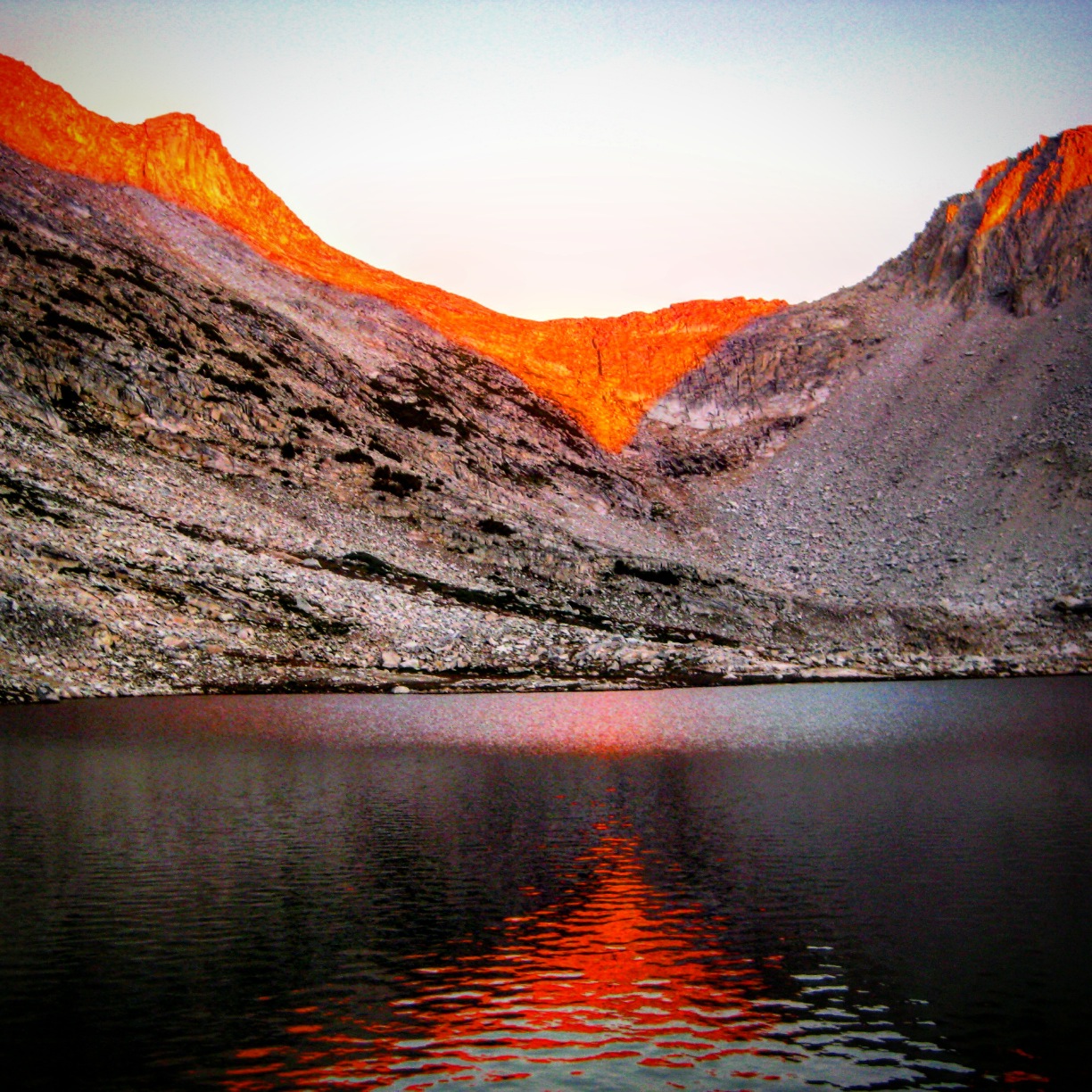
I took 462 photos during my August 2015 trip on the Sierra High Route; here are some of my favorites:
-

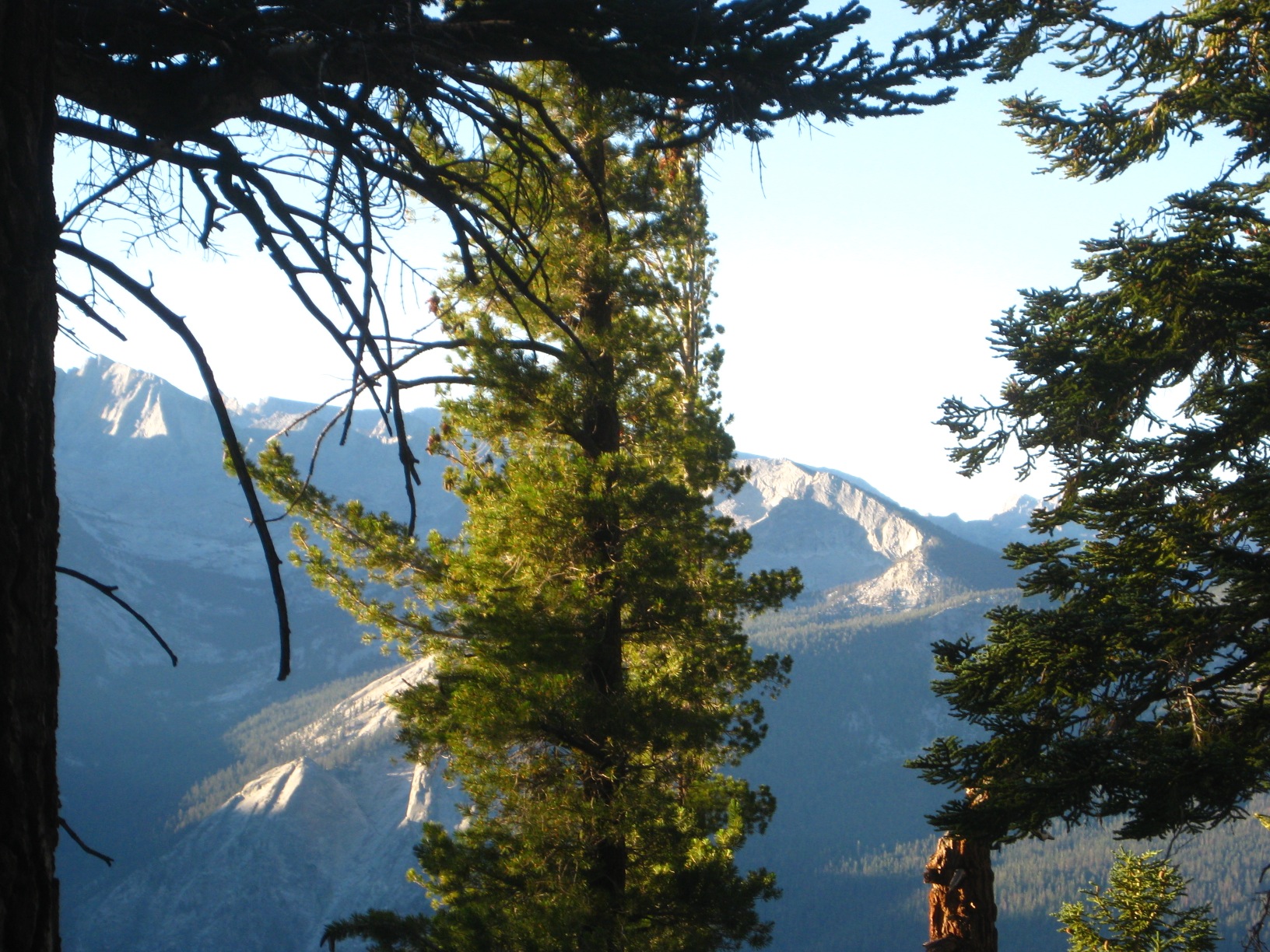
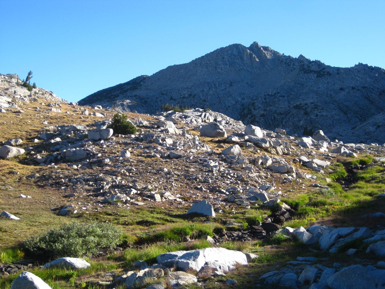
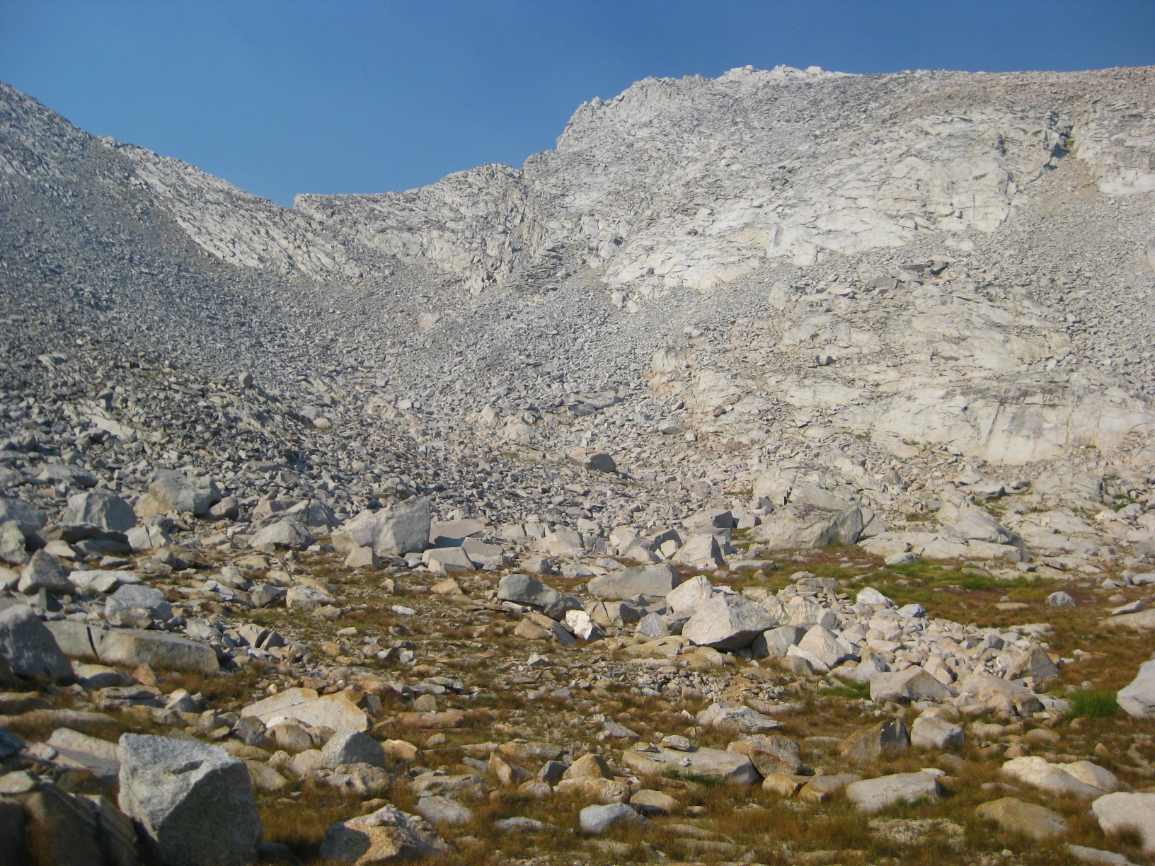
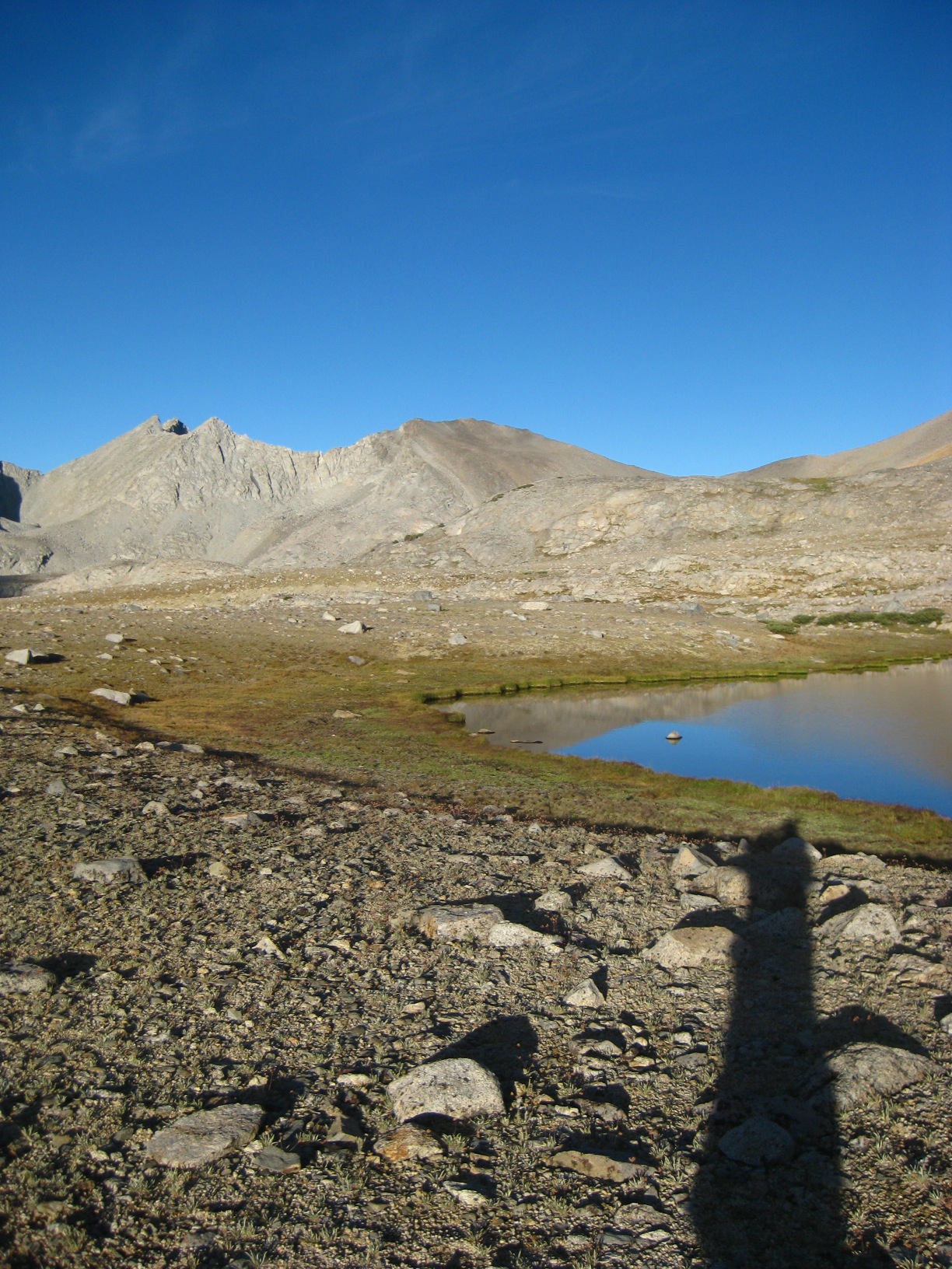
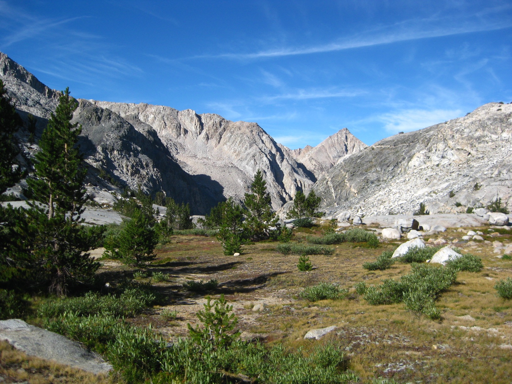
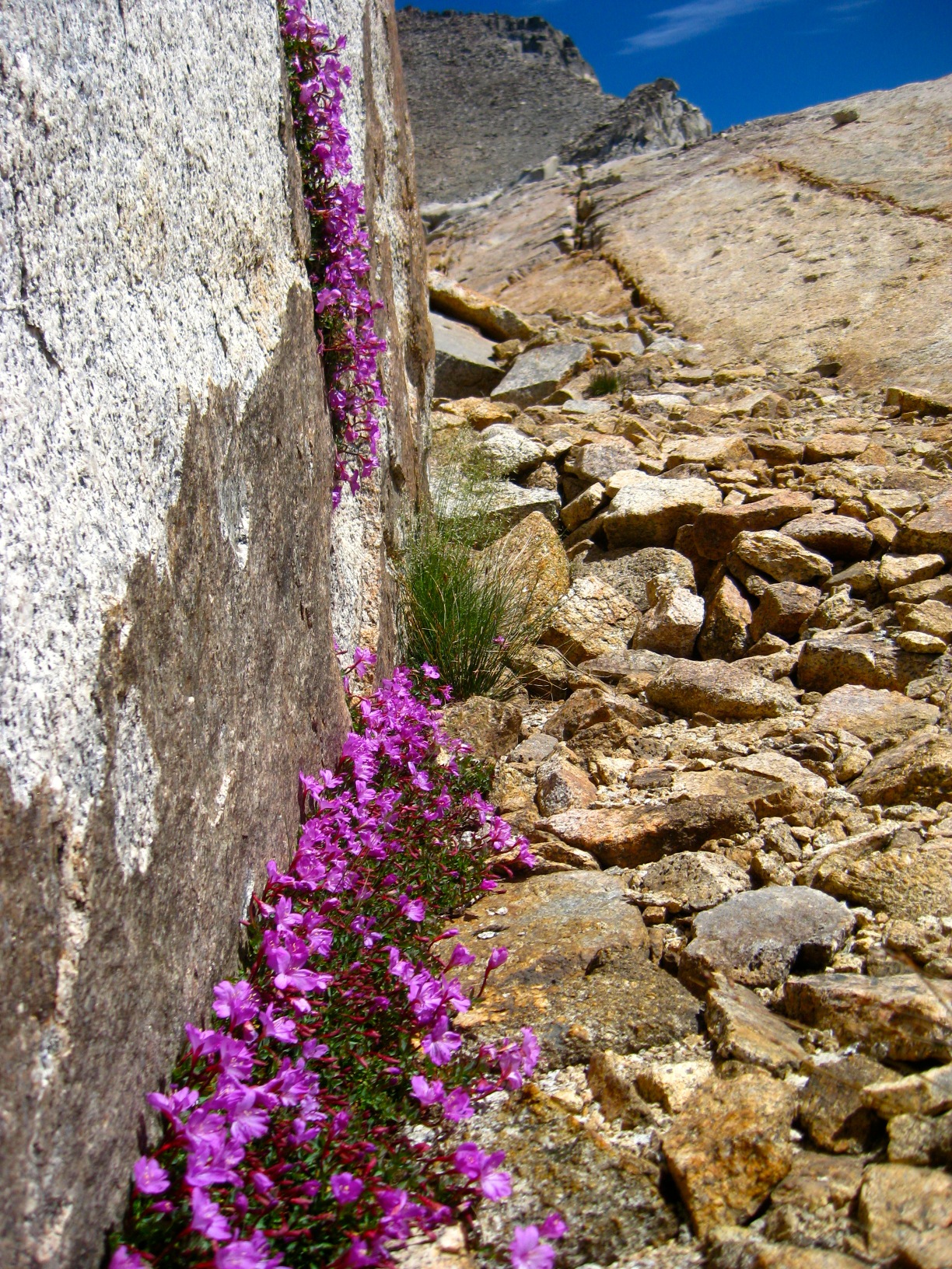
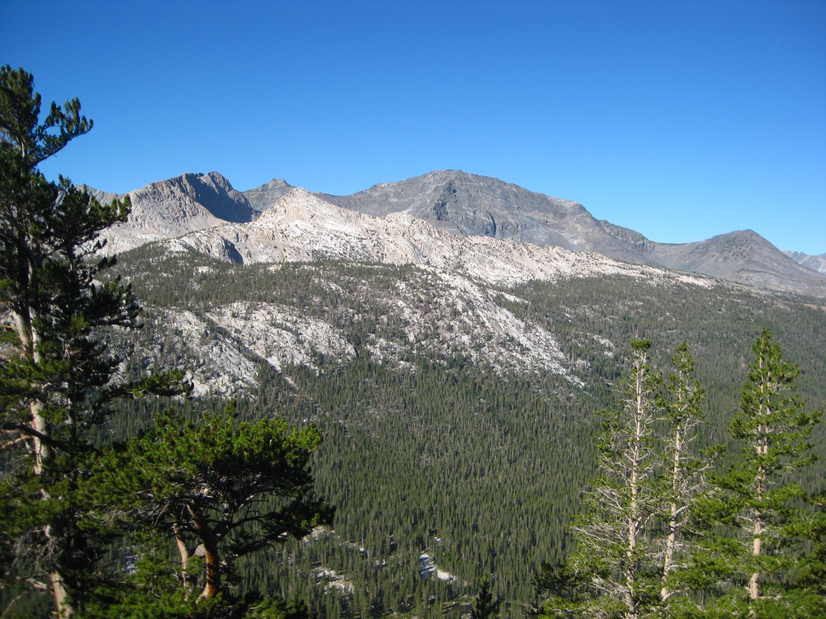
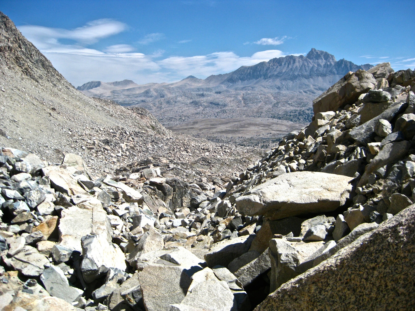
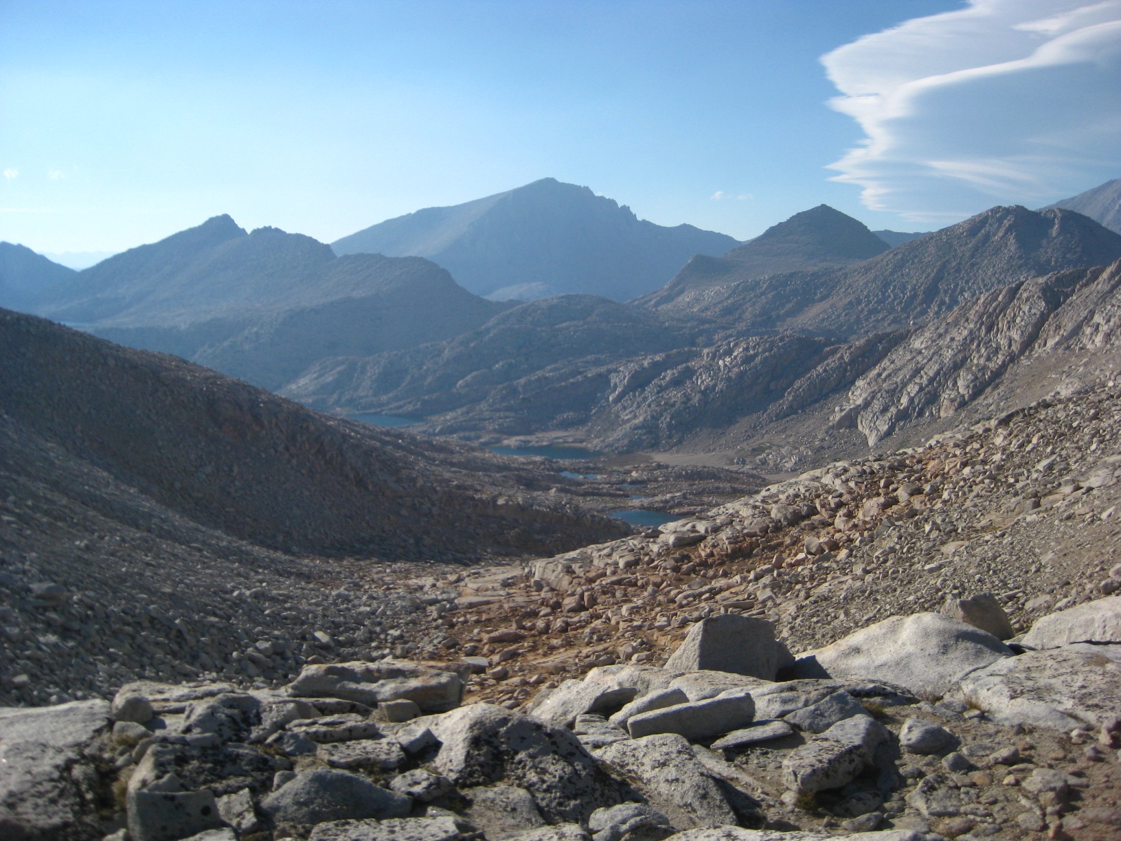
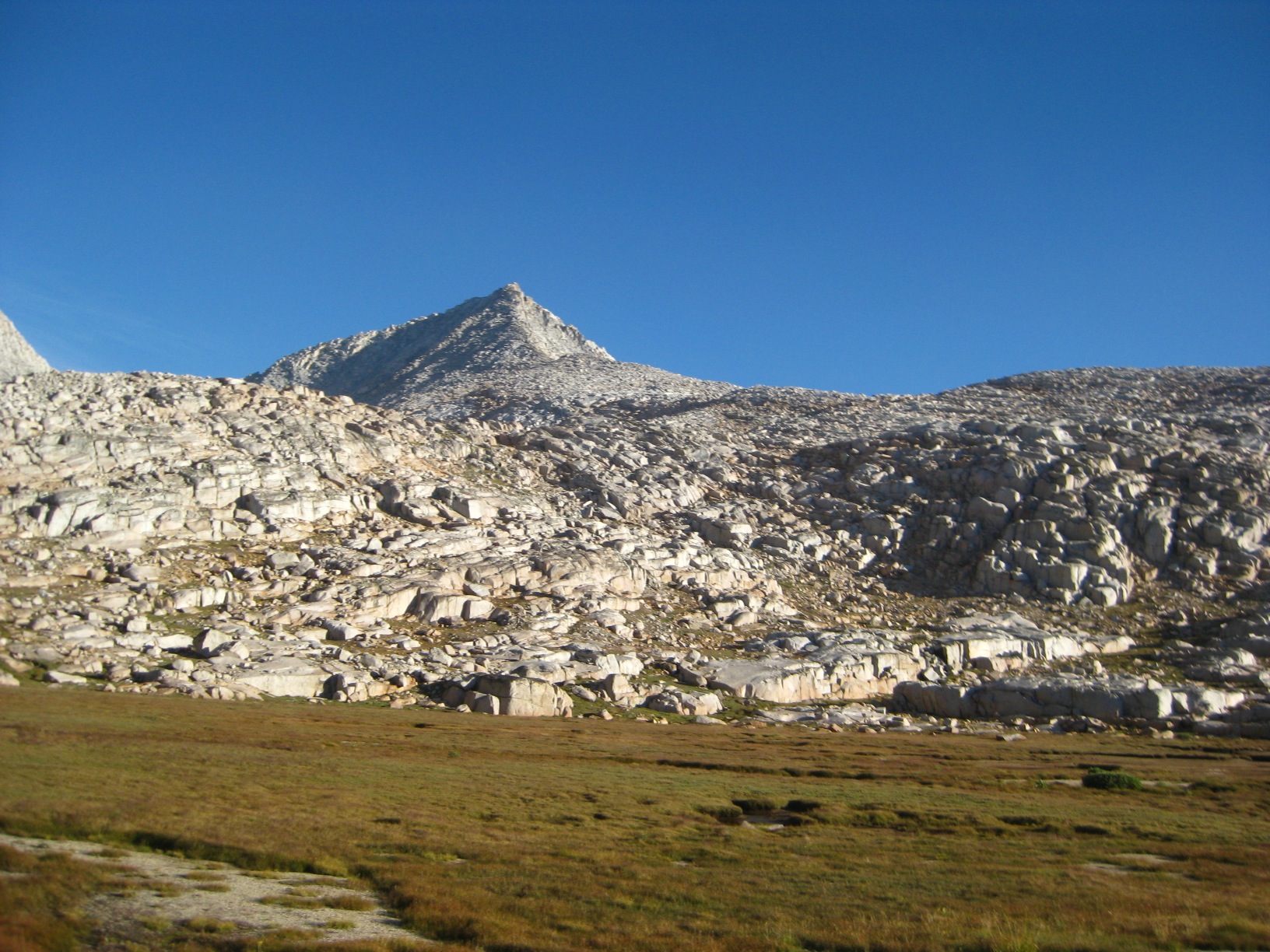
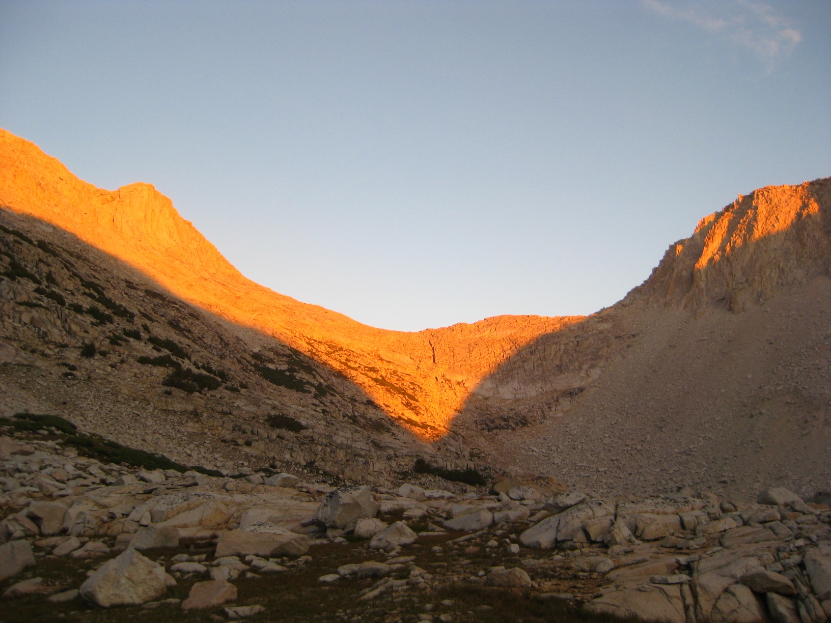
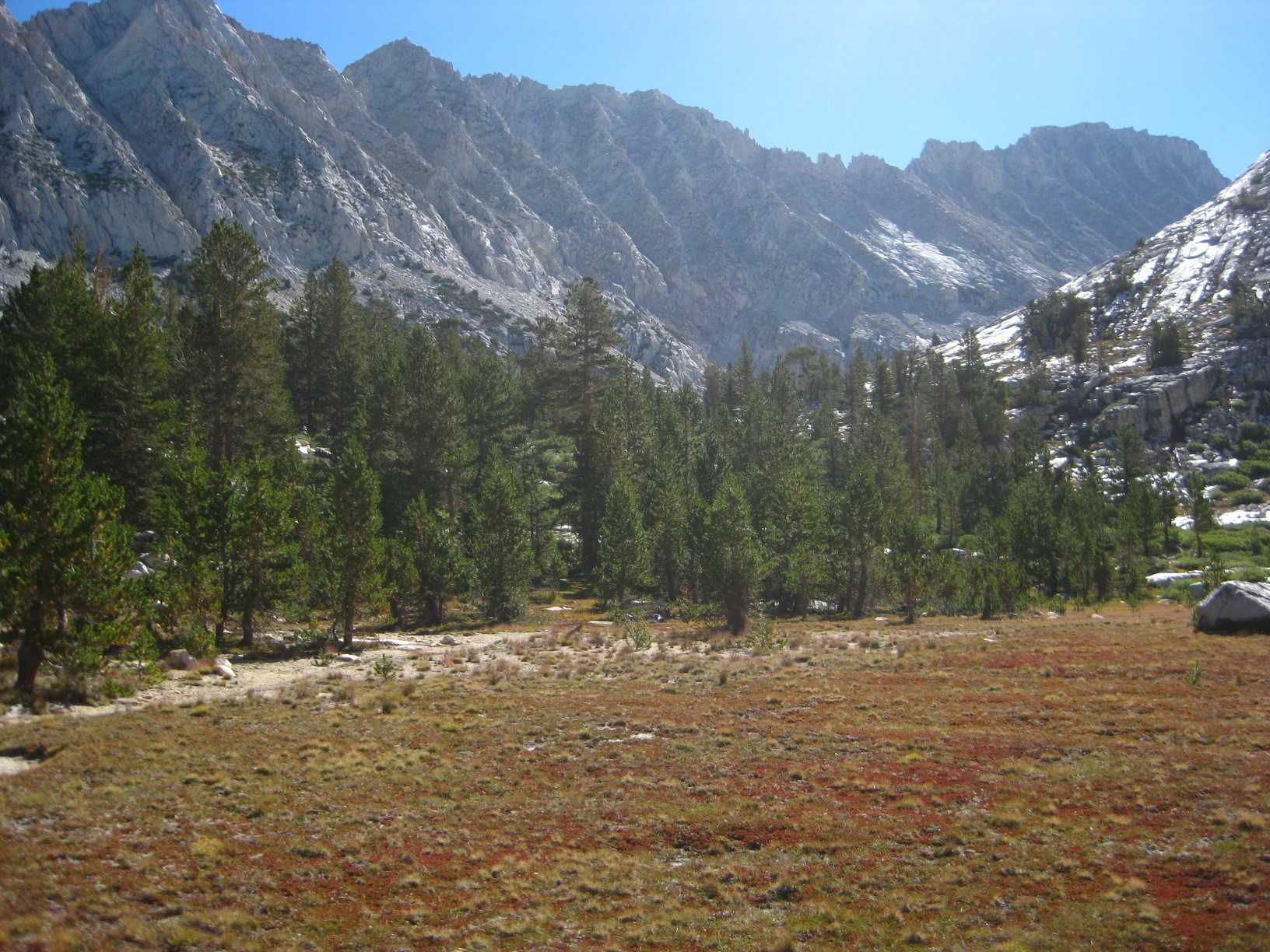
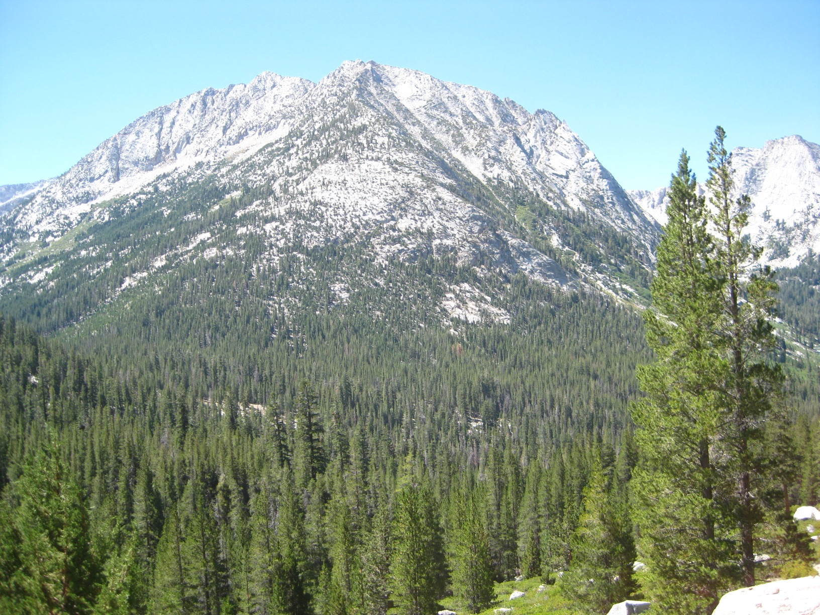
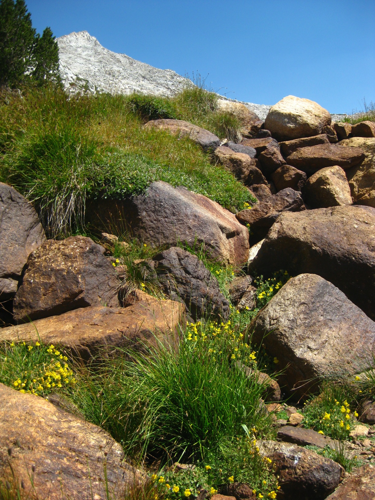
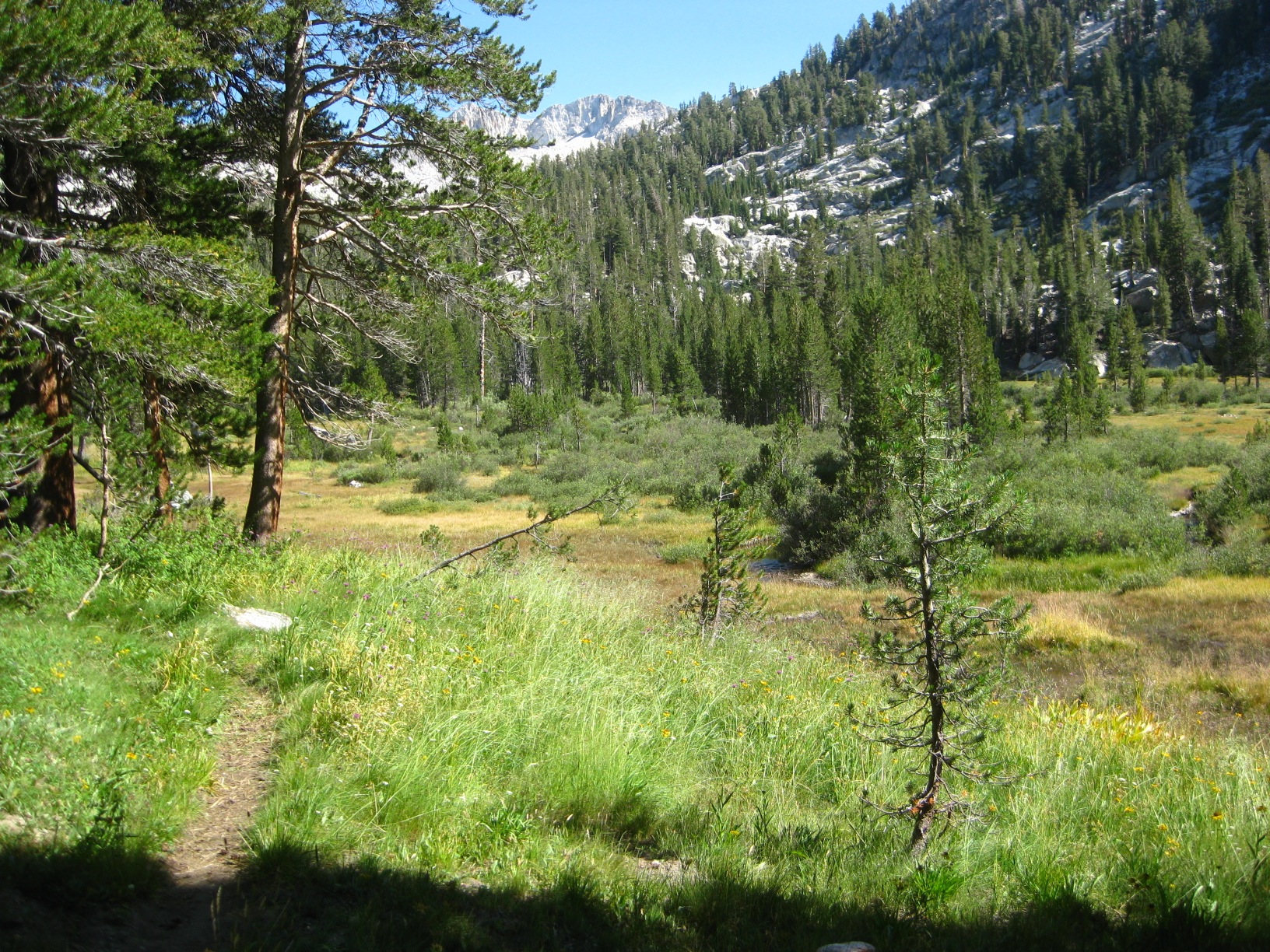
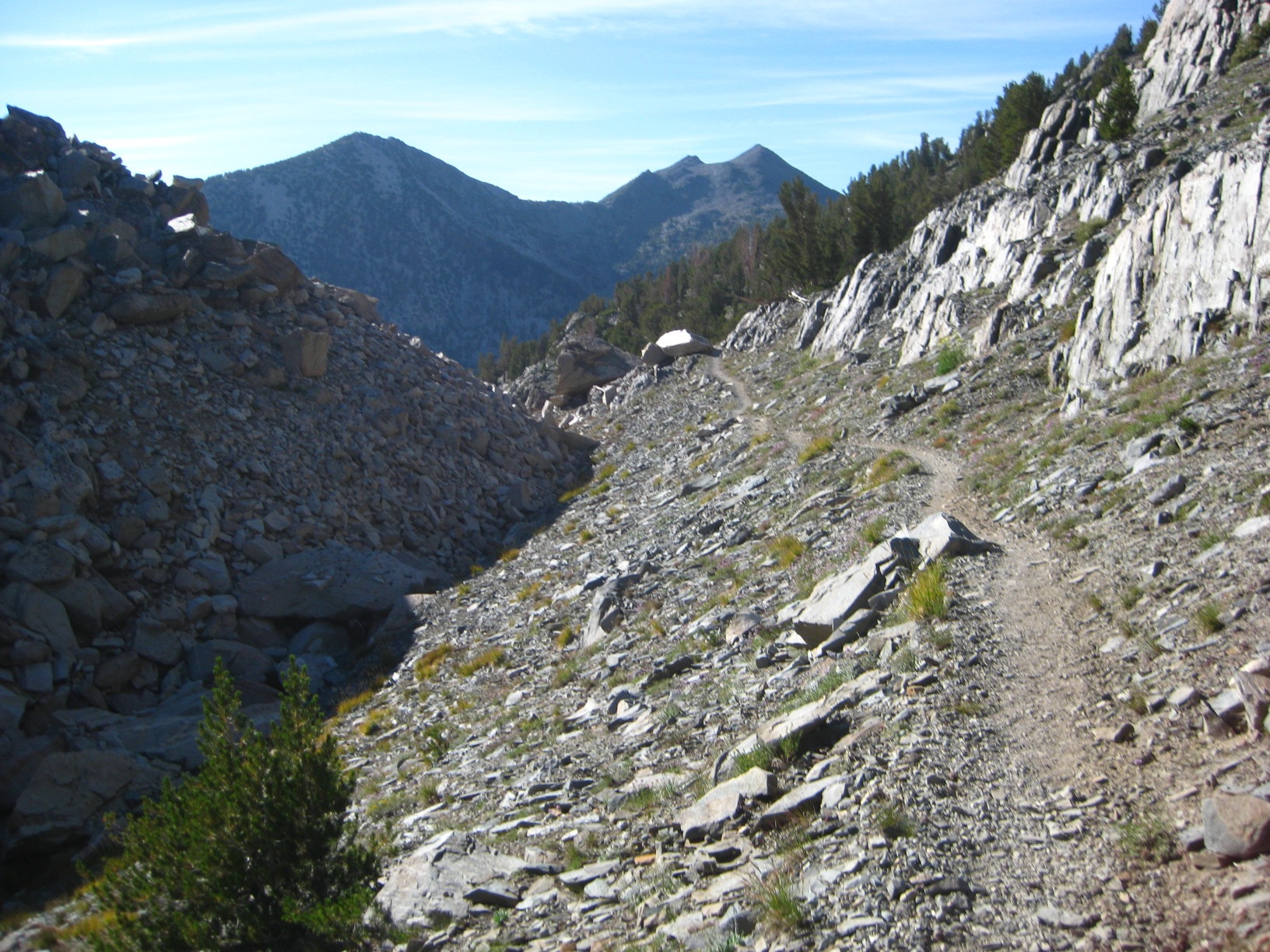
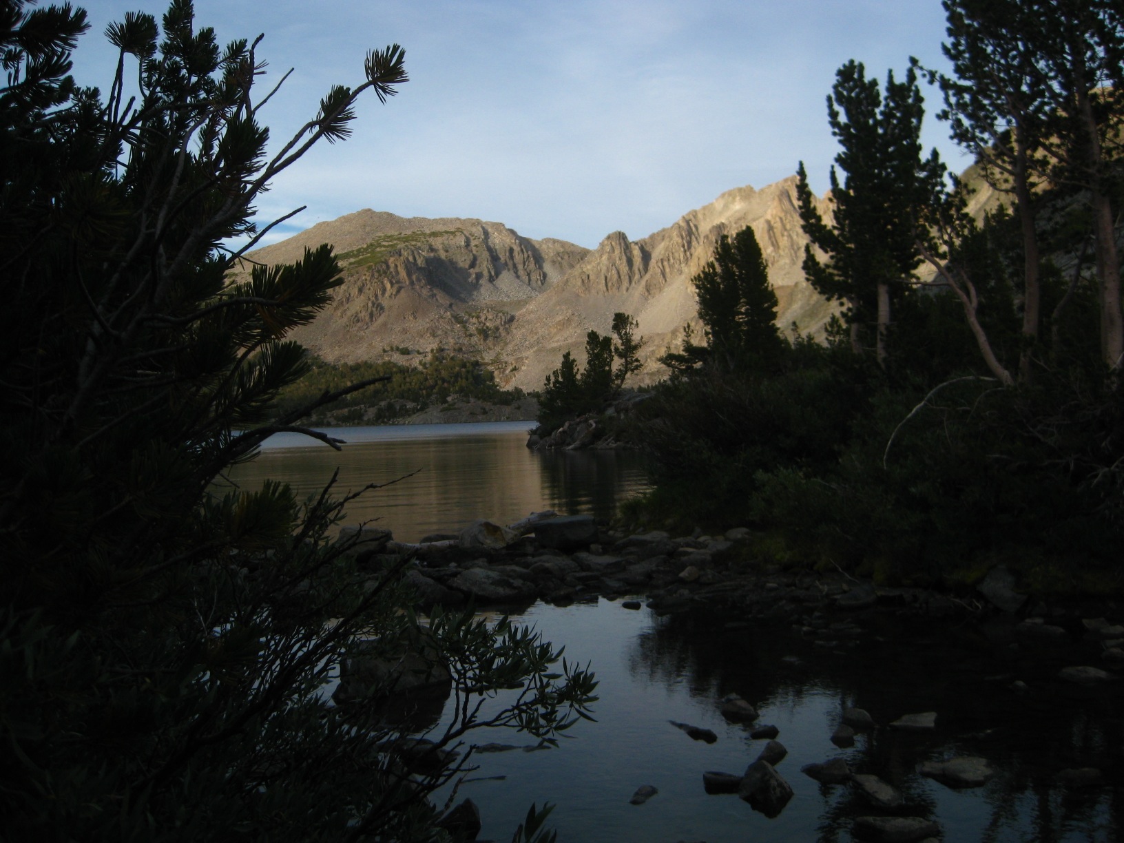
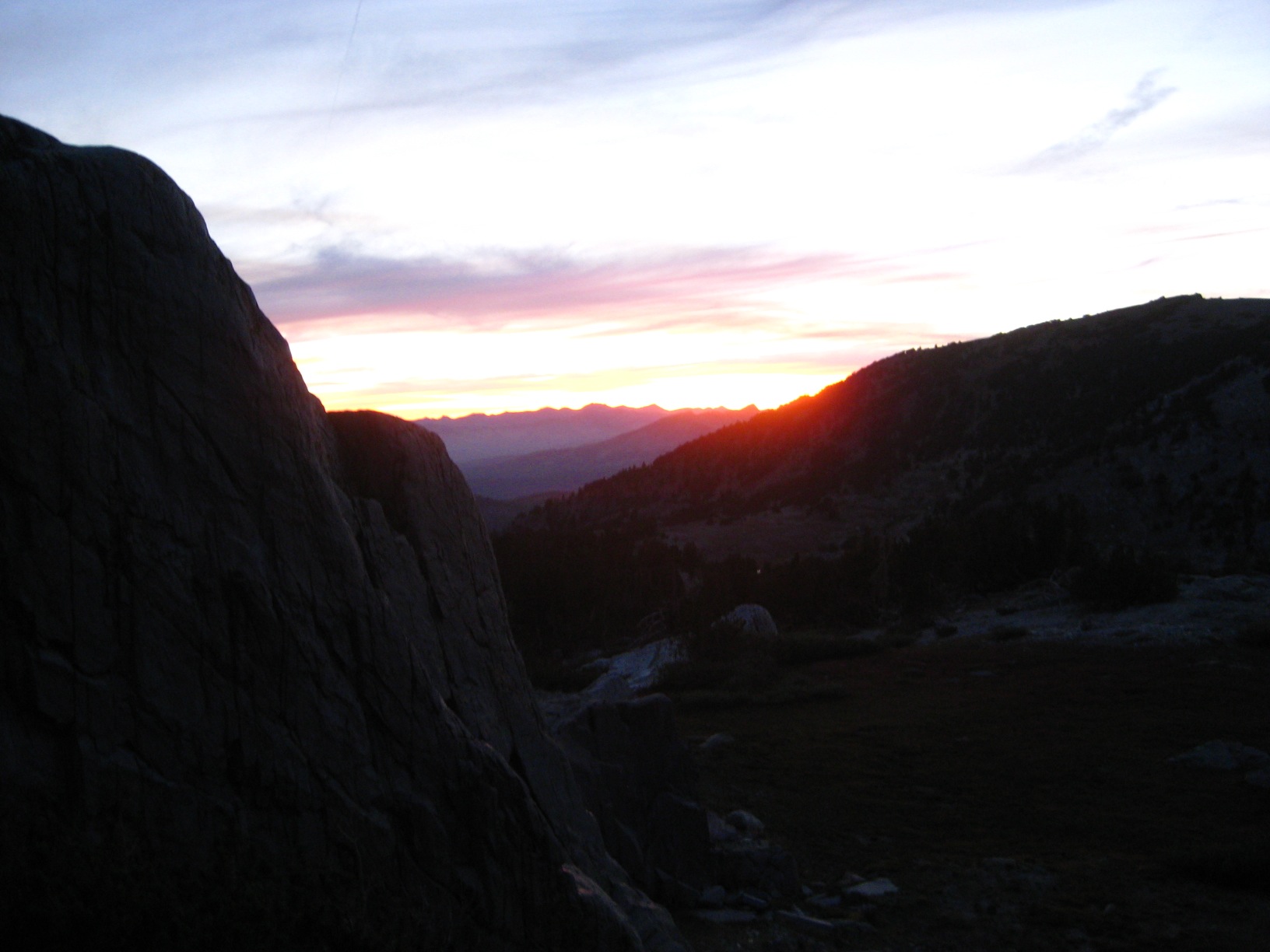
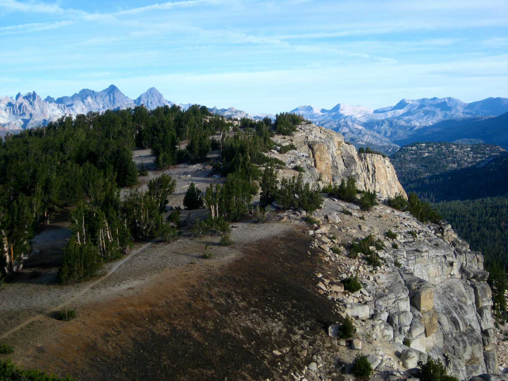
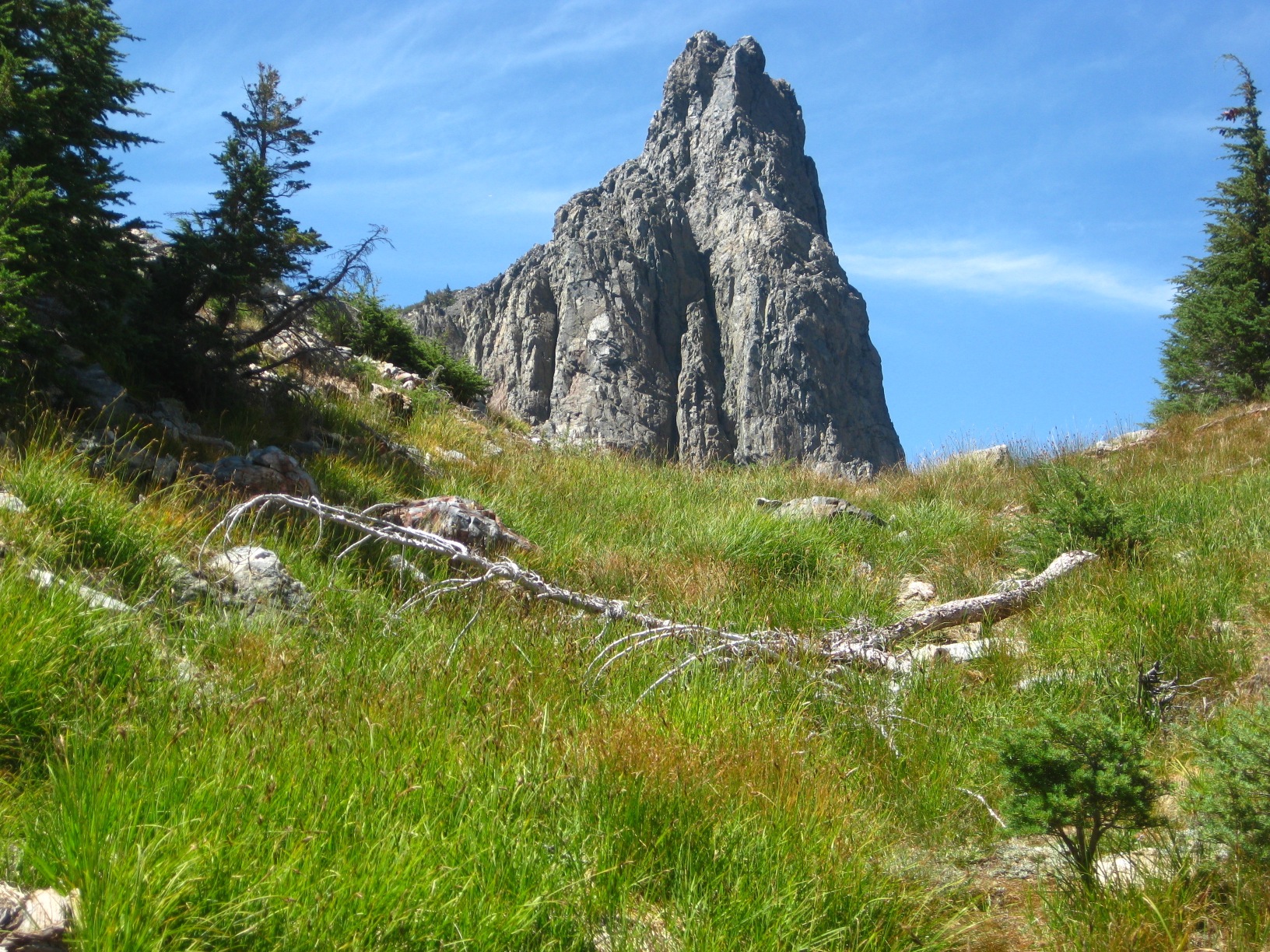
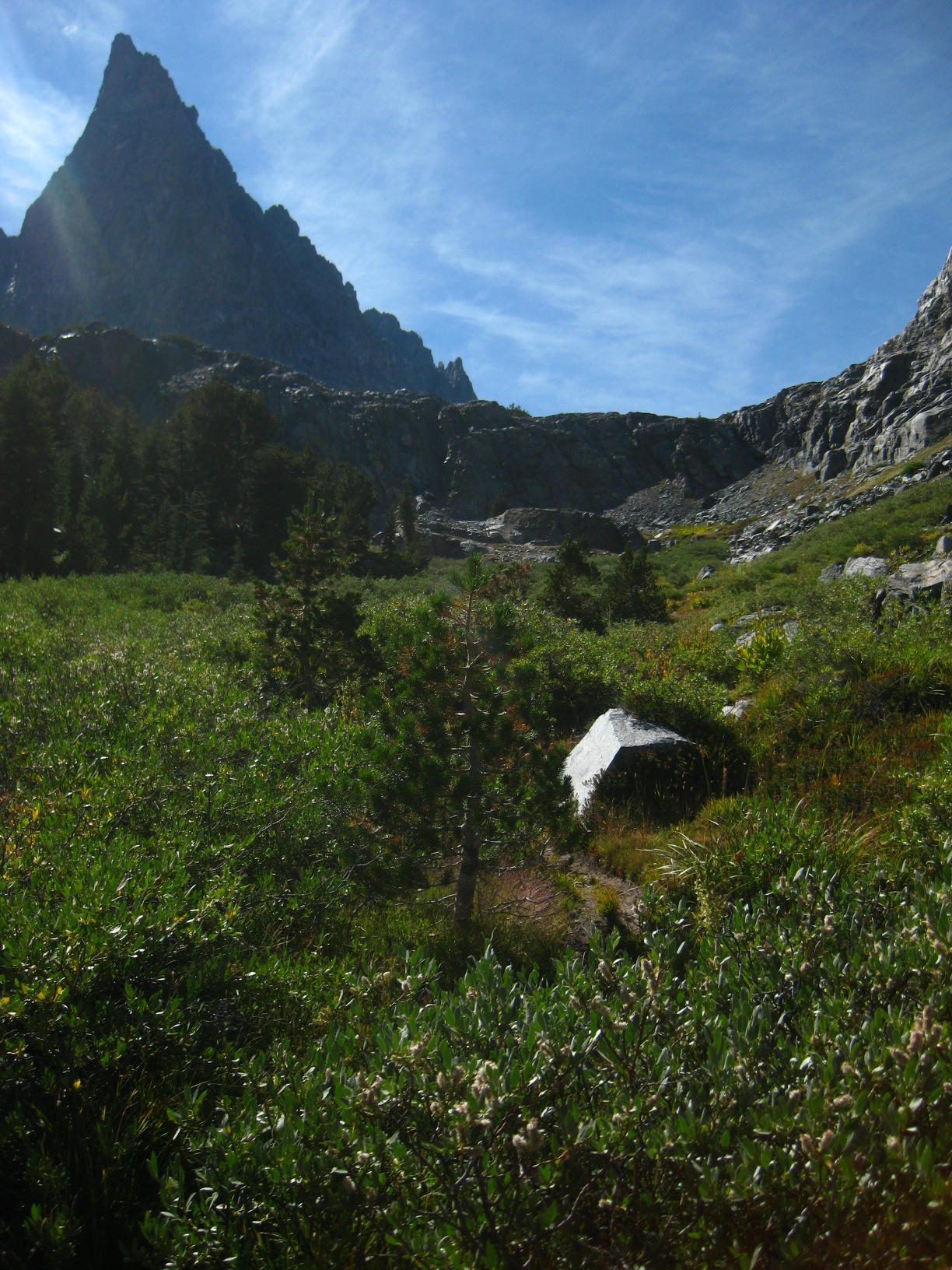
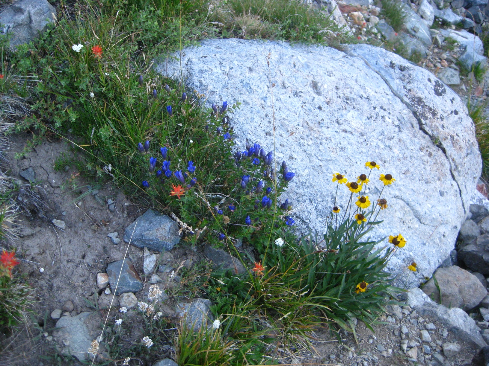
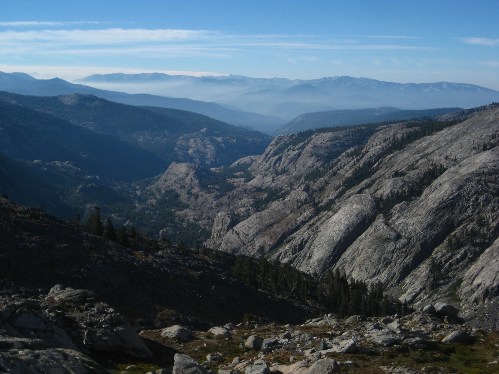
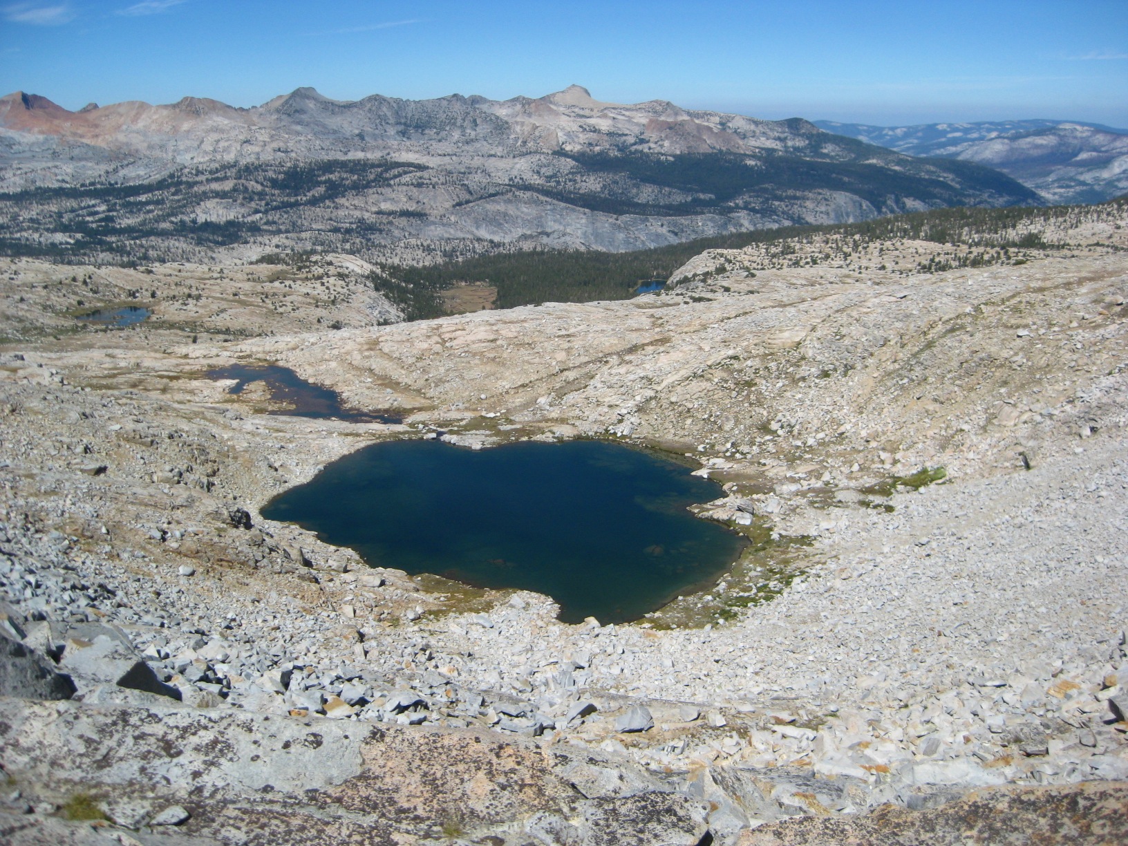
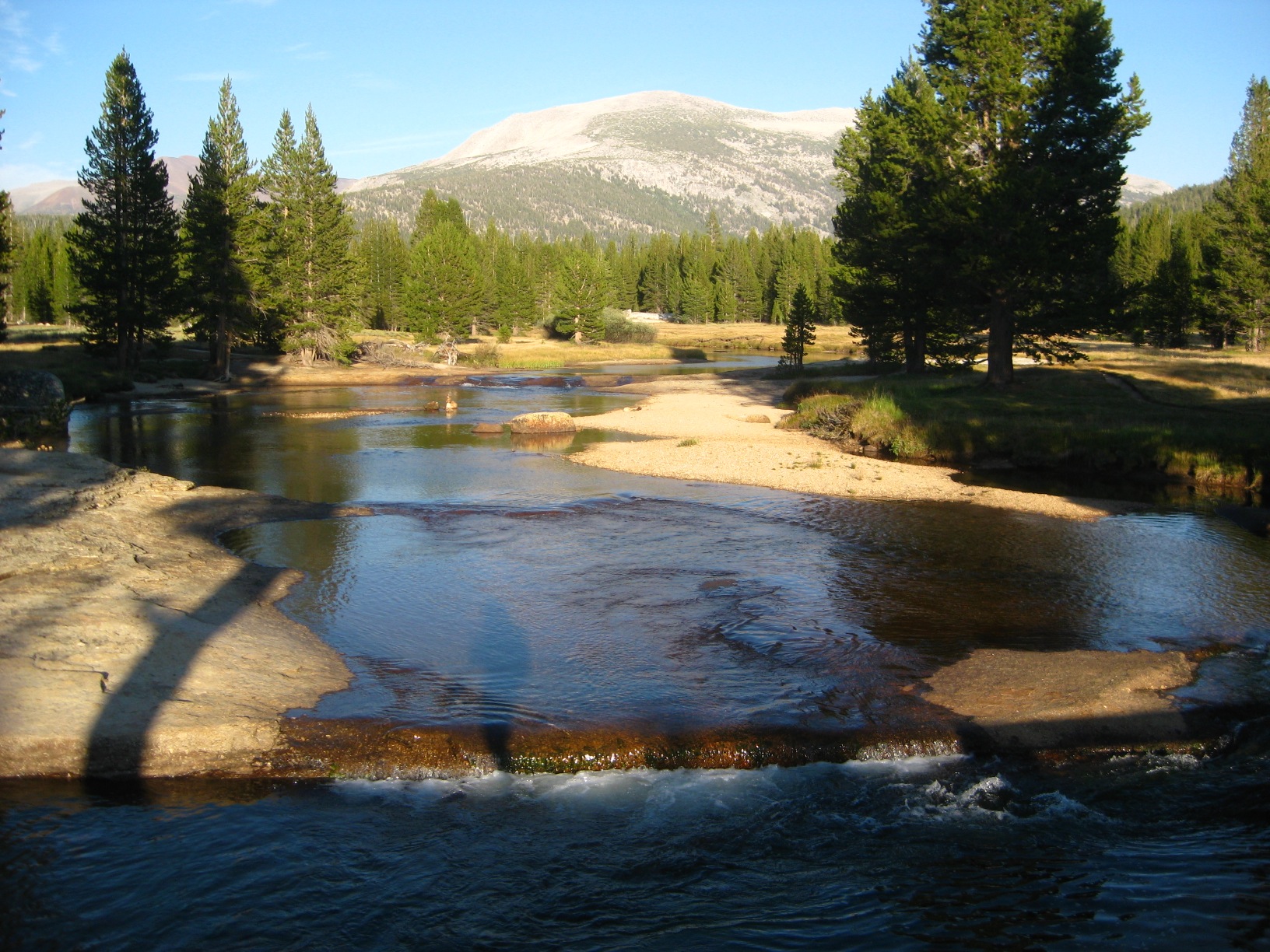
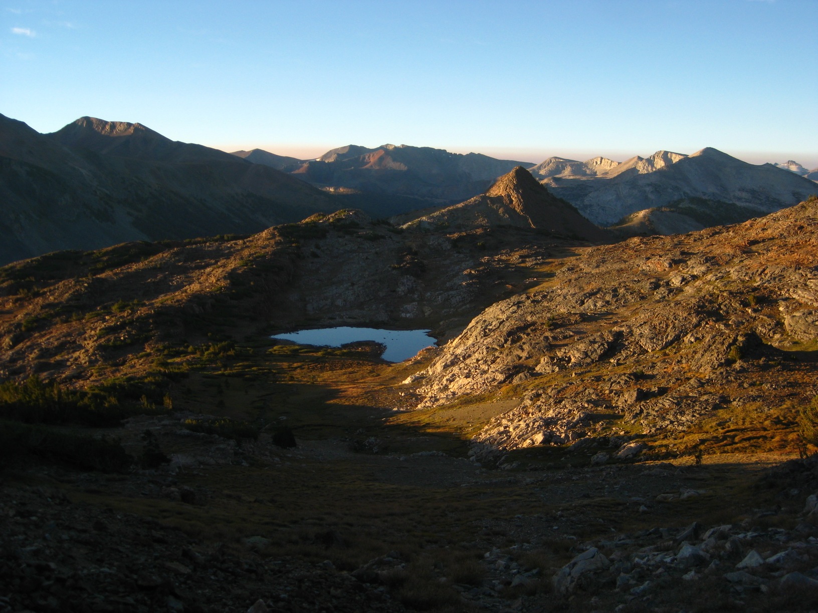
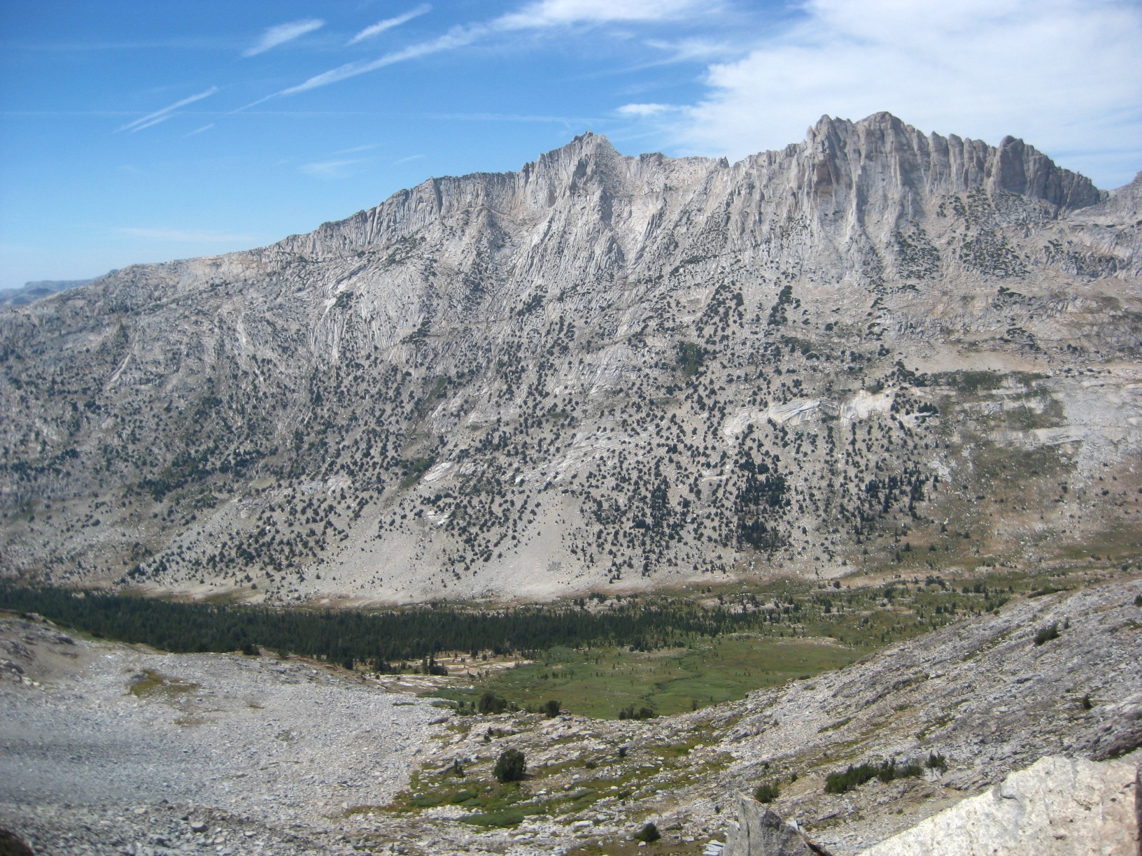
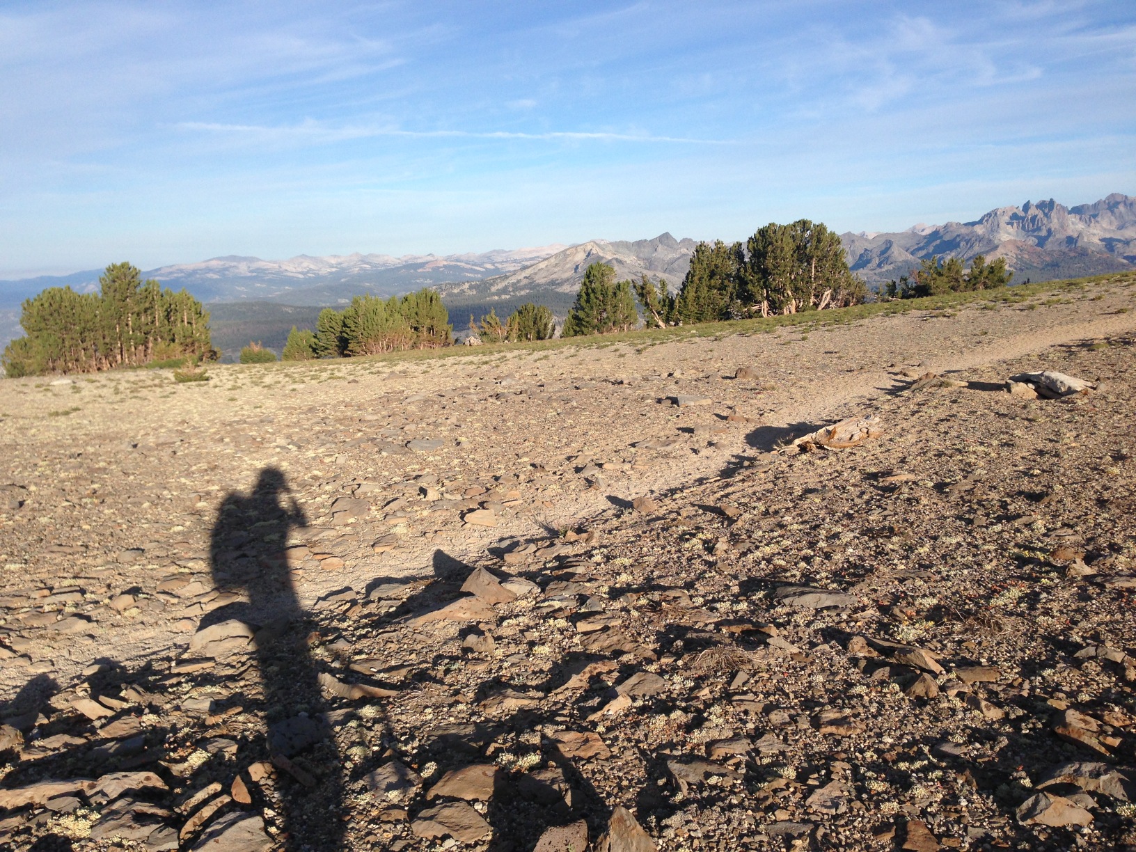
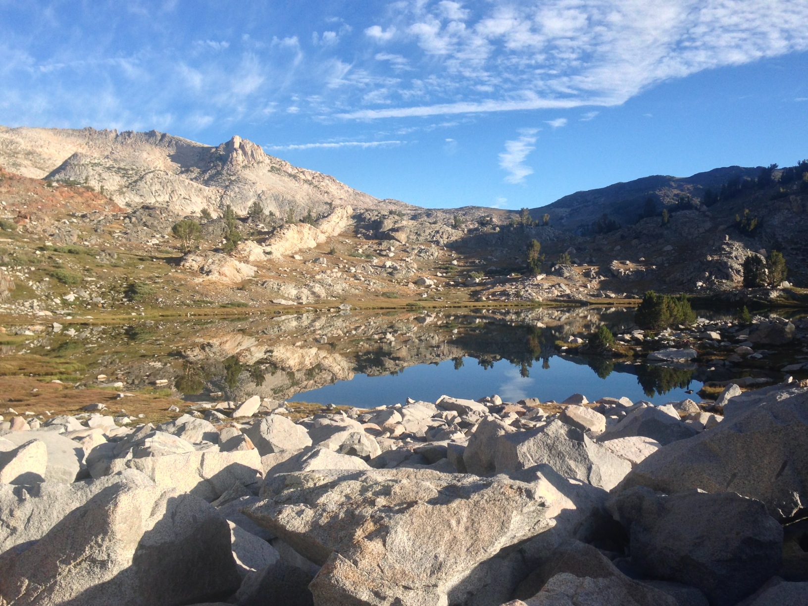
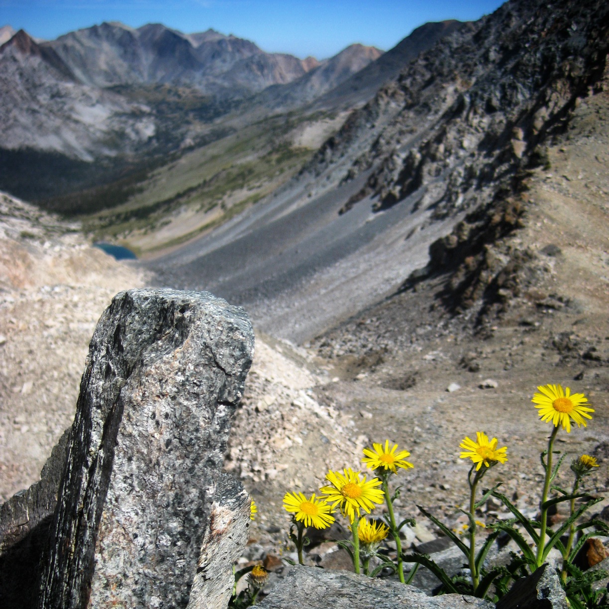
- Above Upper Tent Meadow
-
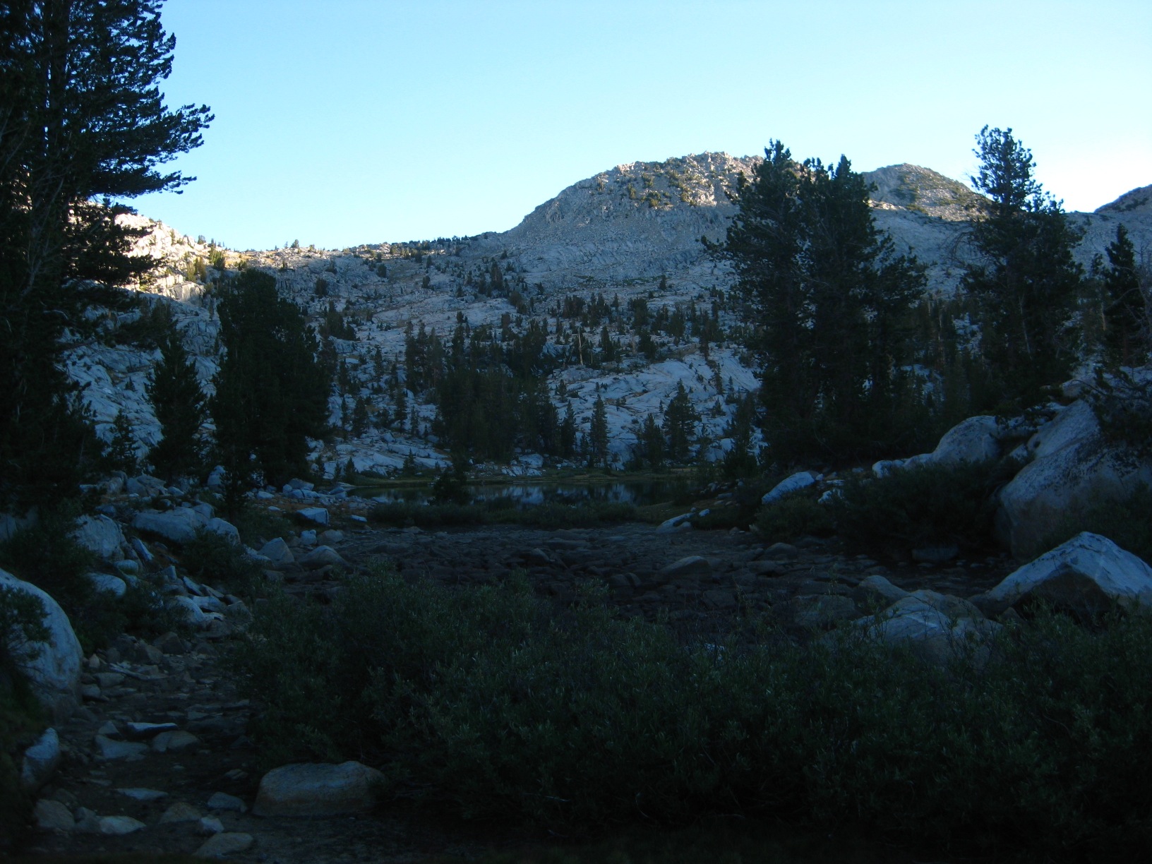
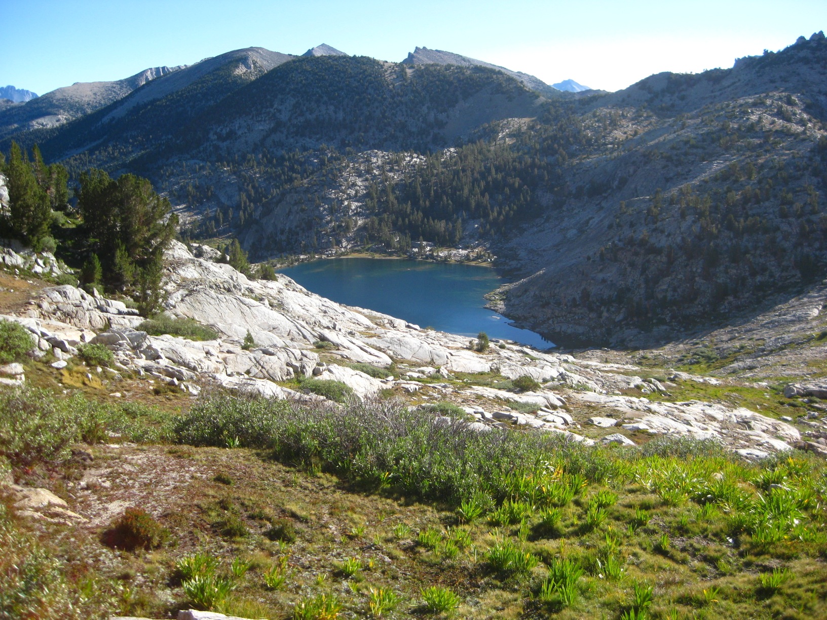
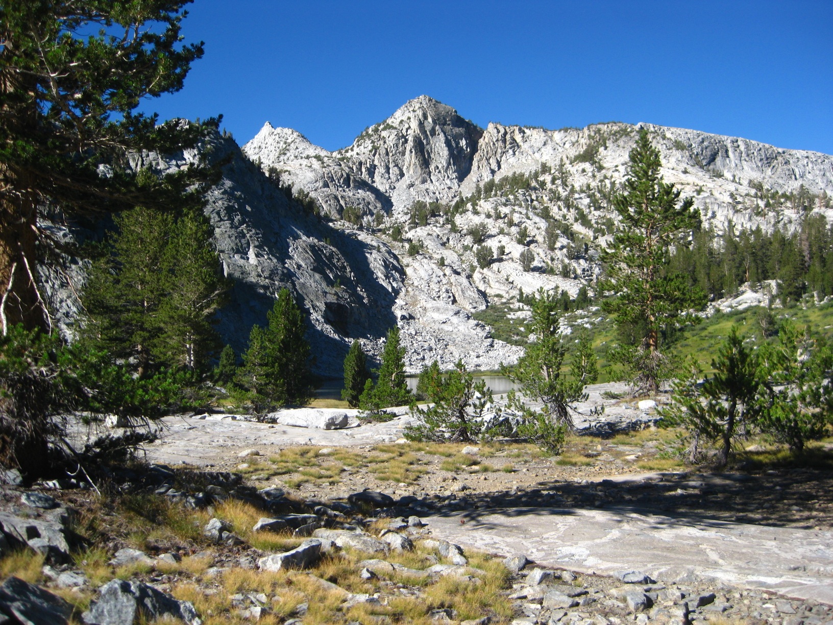
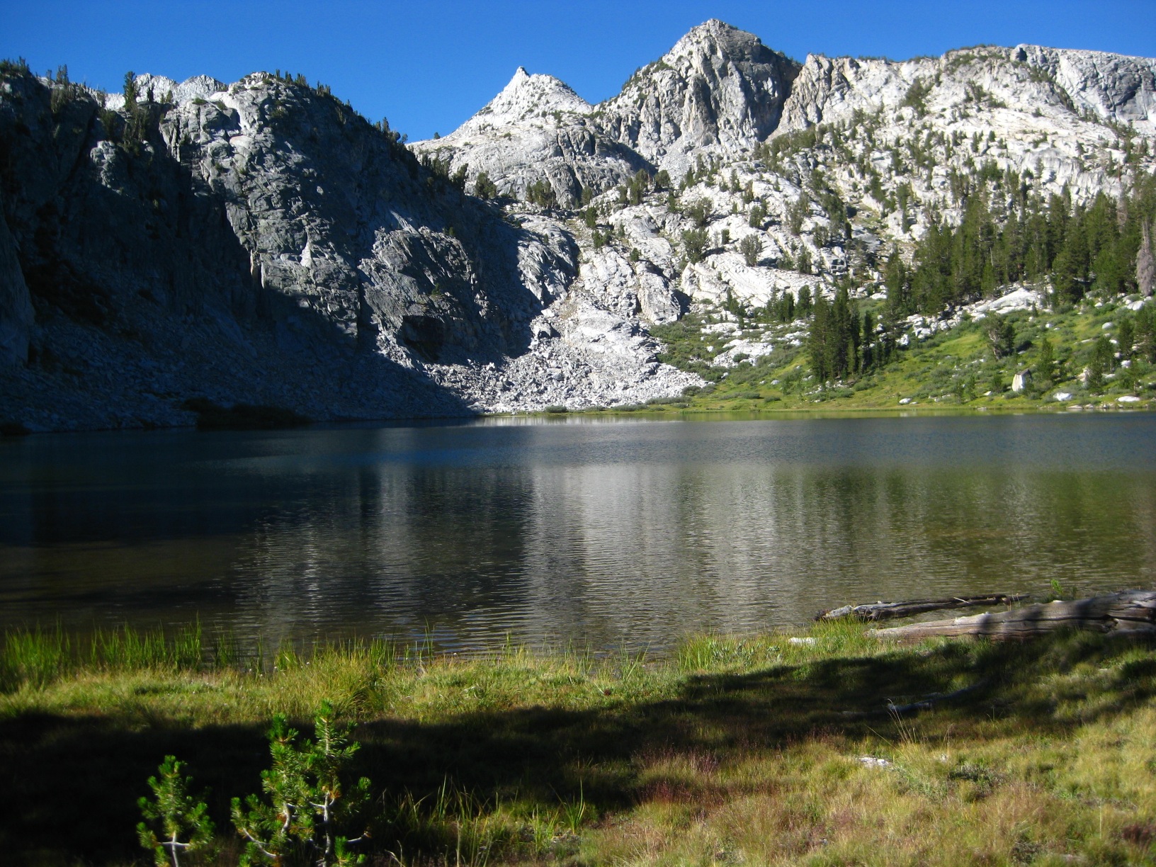
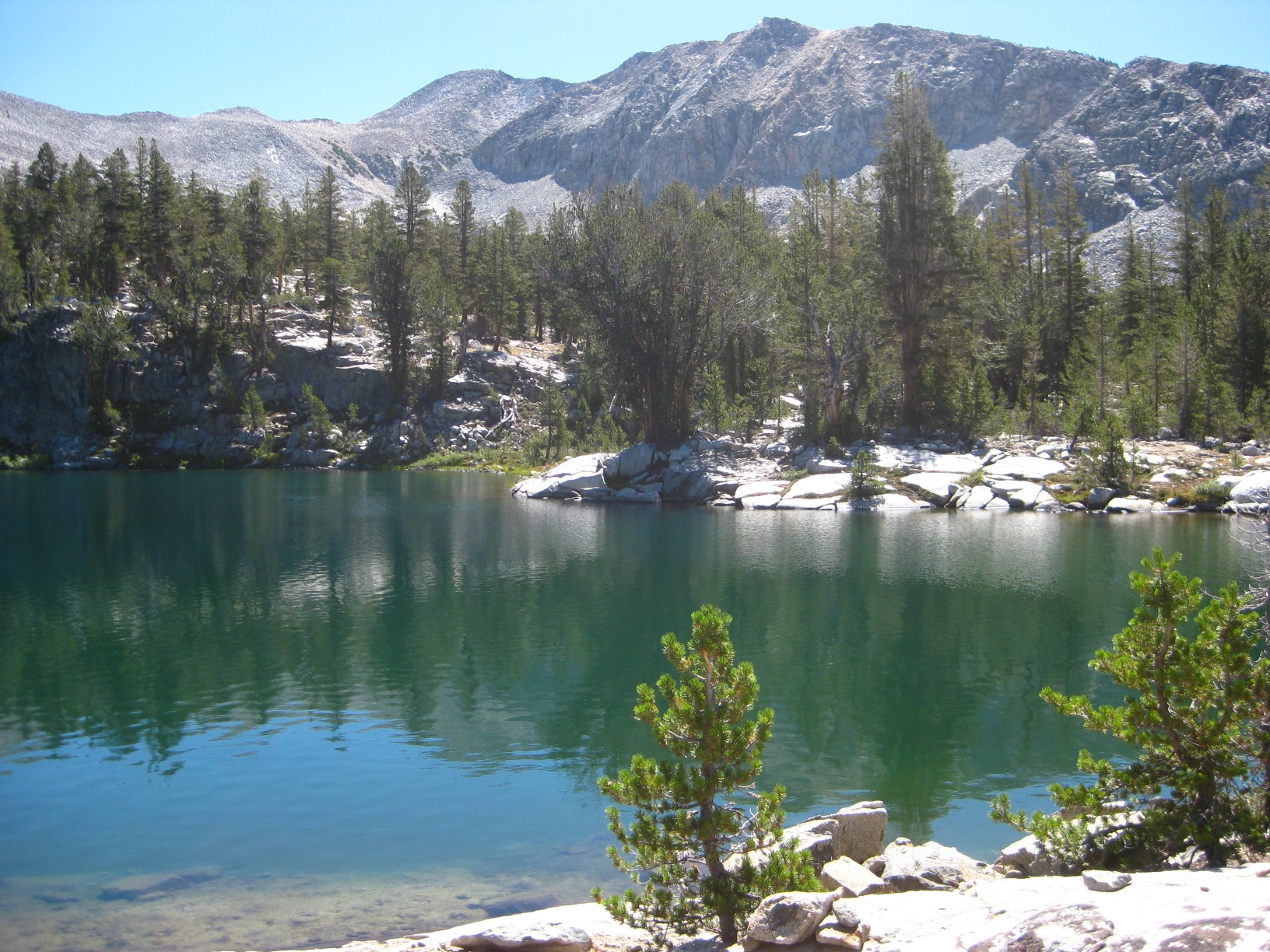
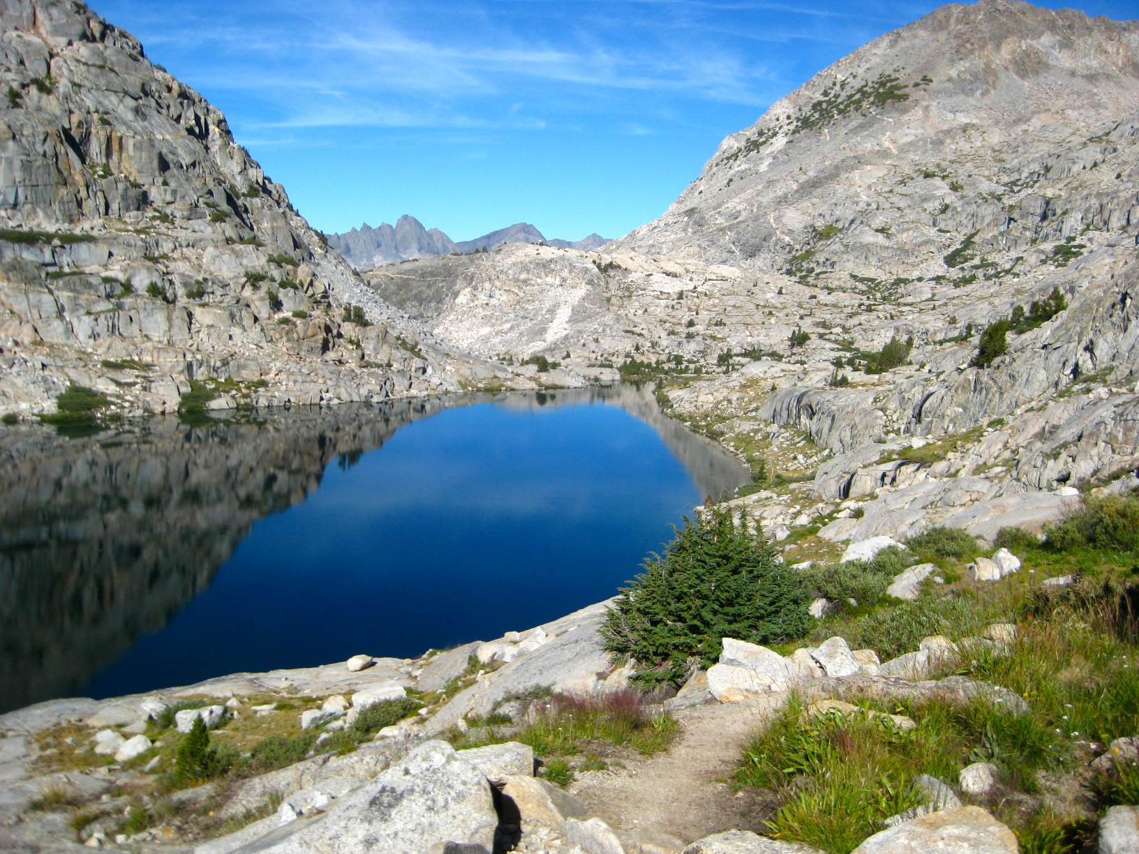
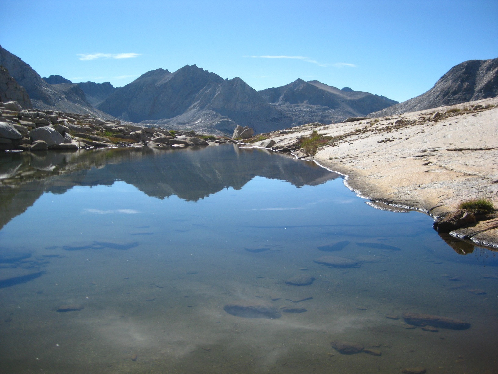
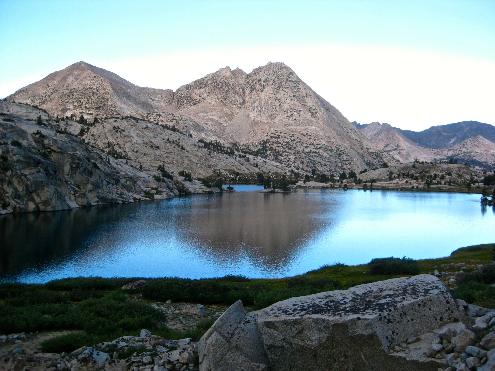
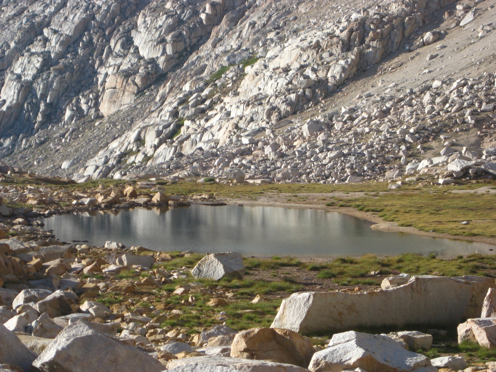
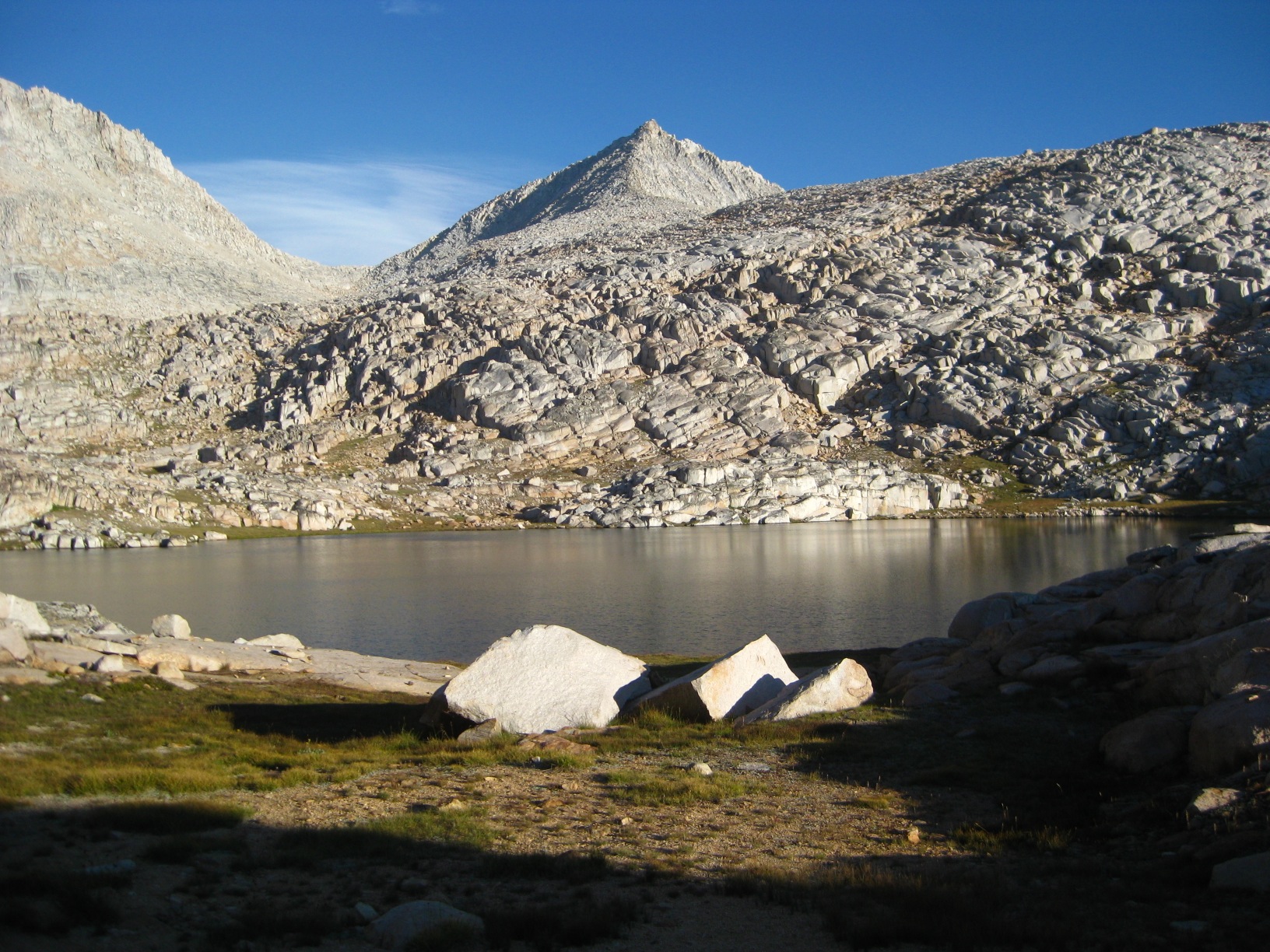
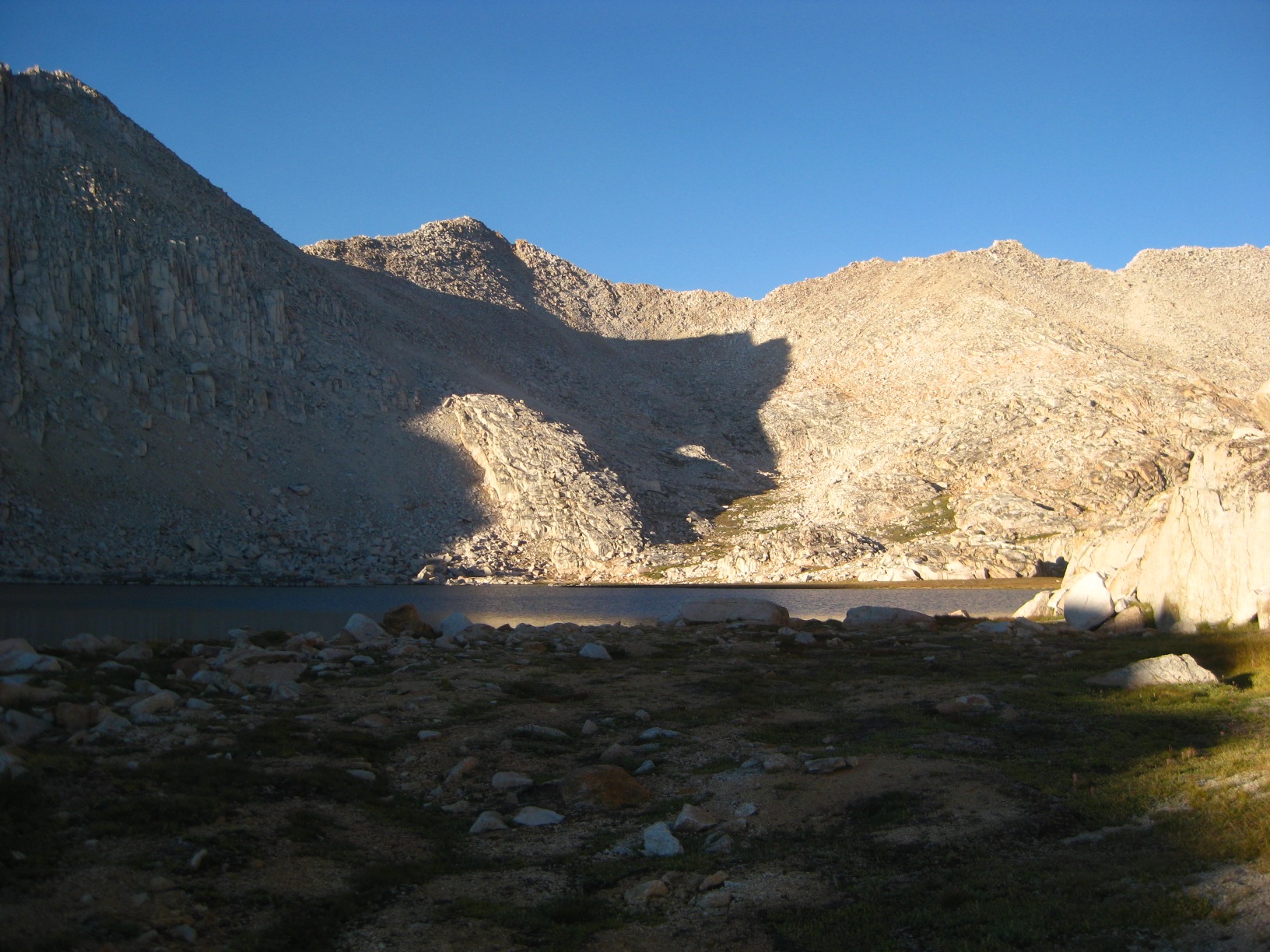
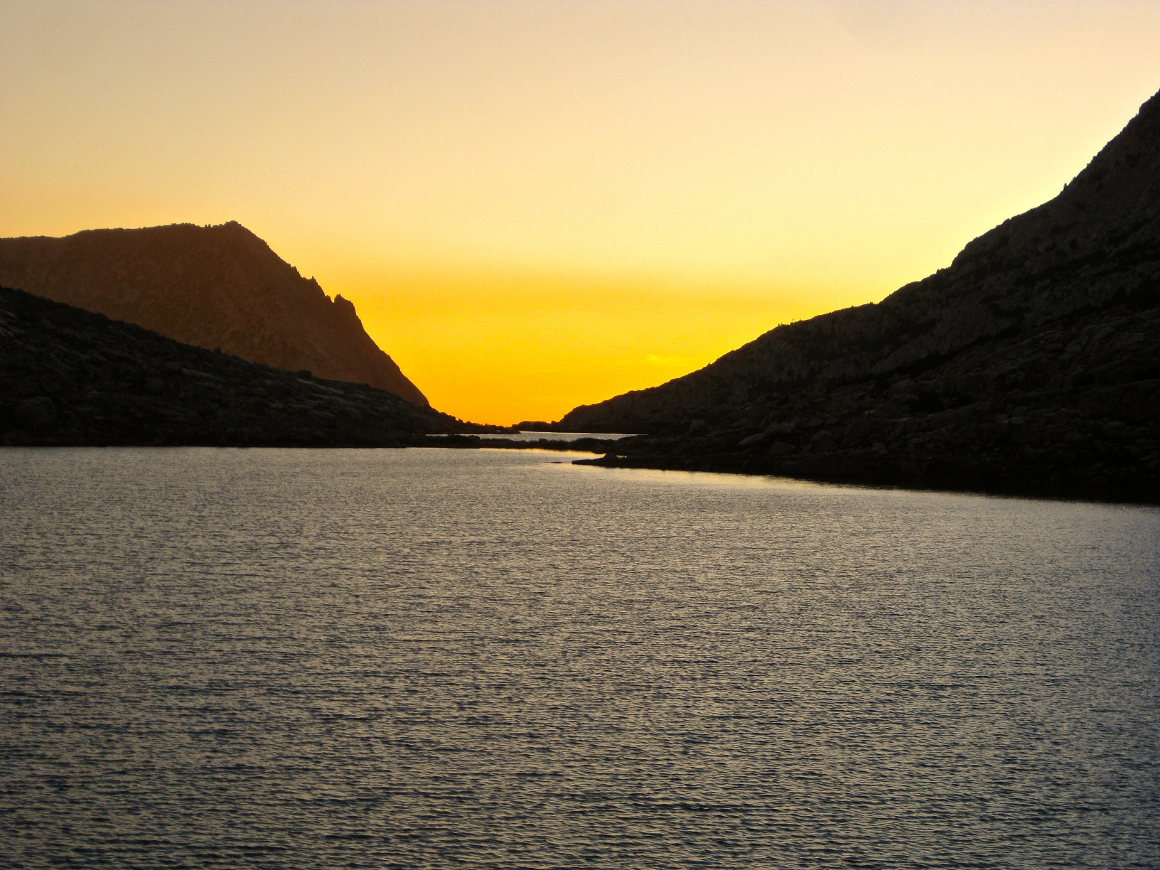
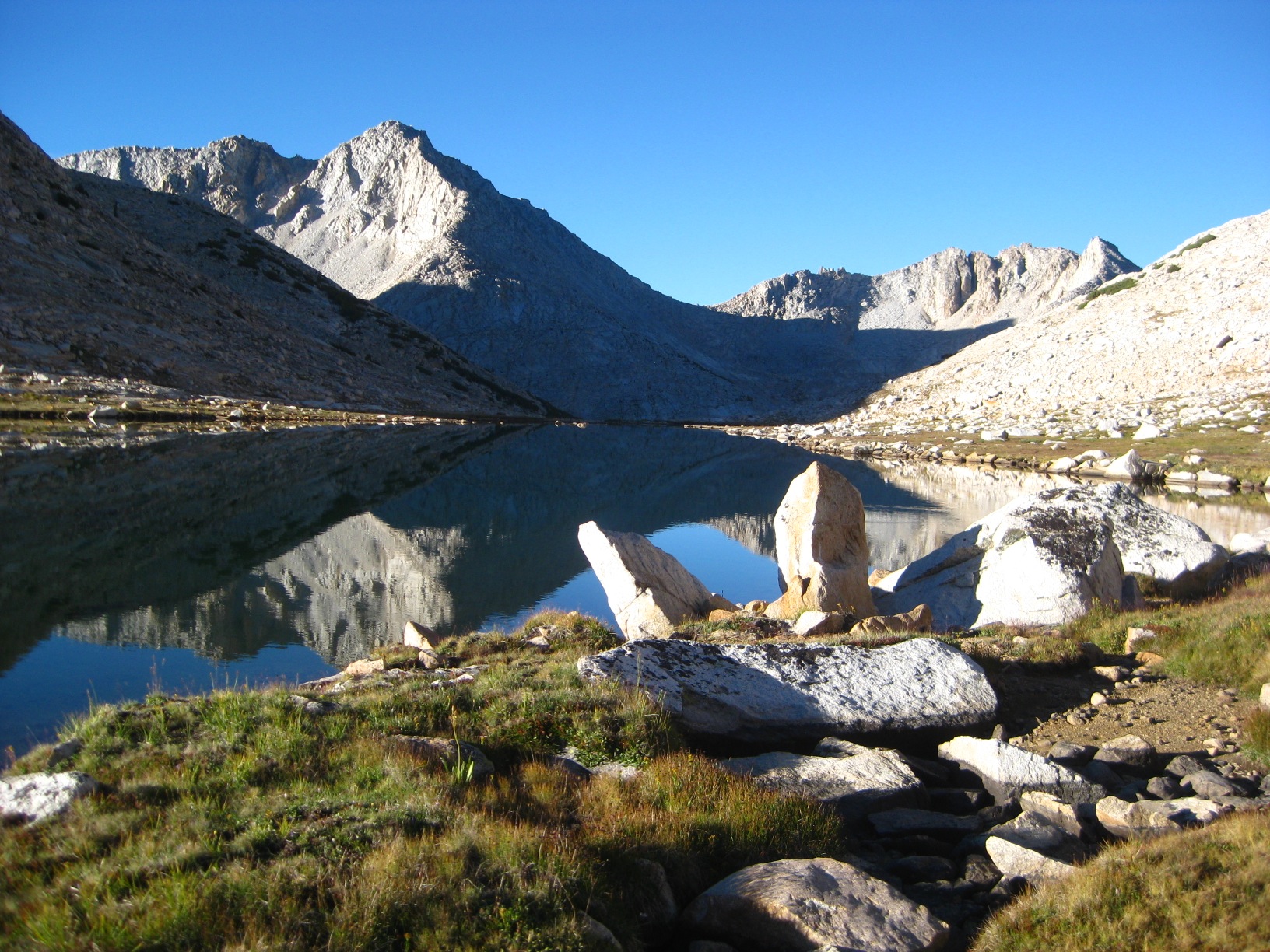
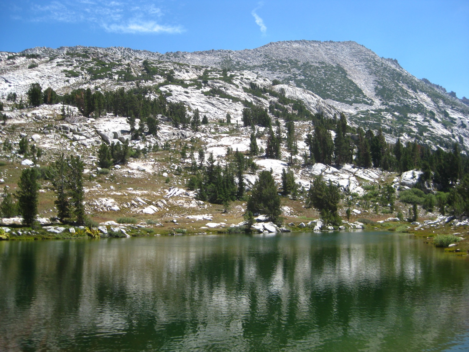
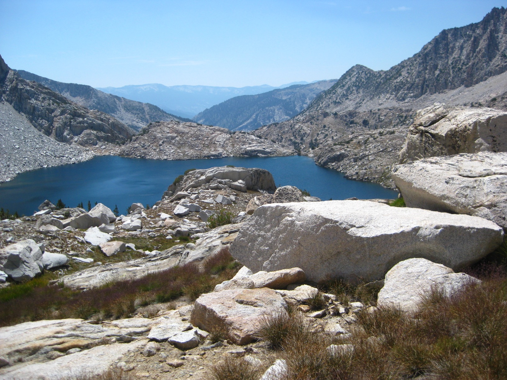
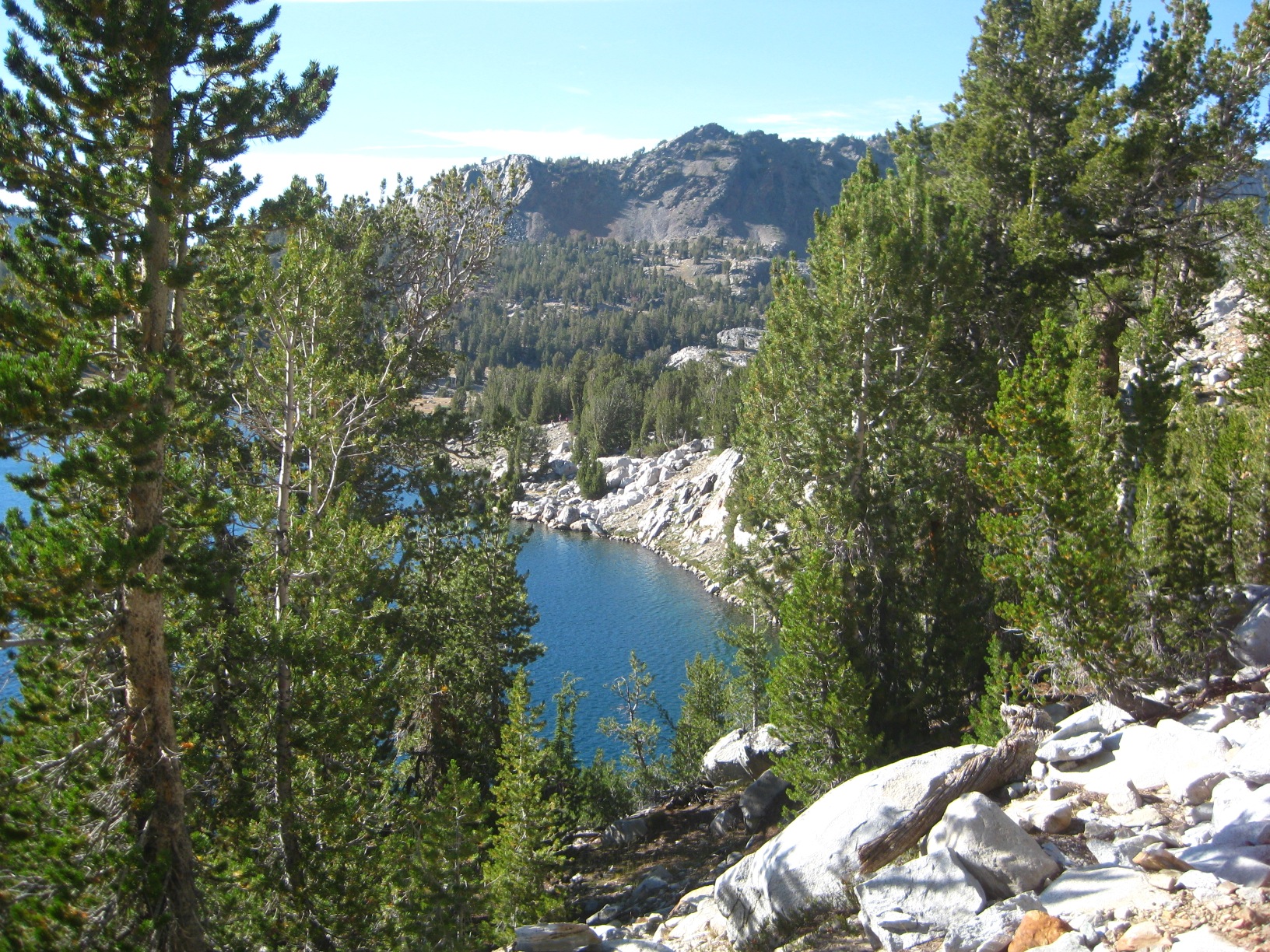
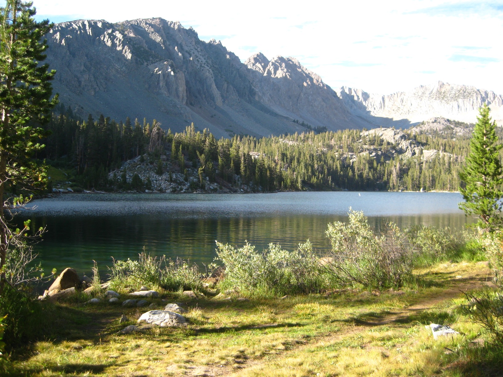
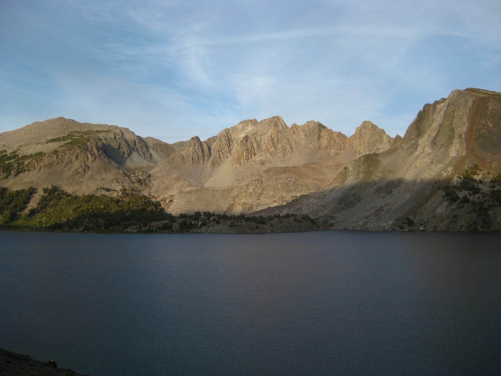
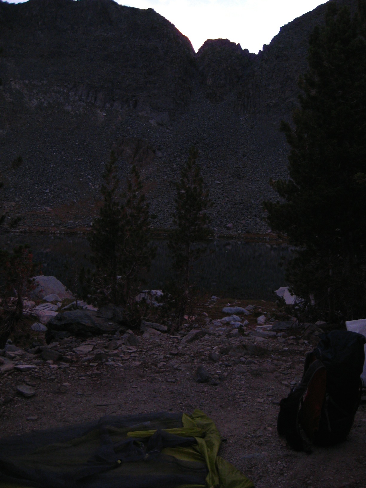
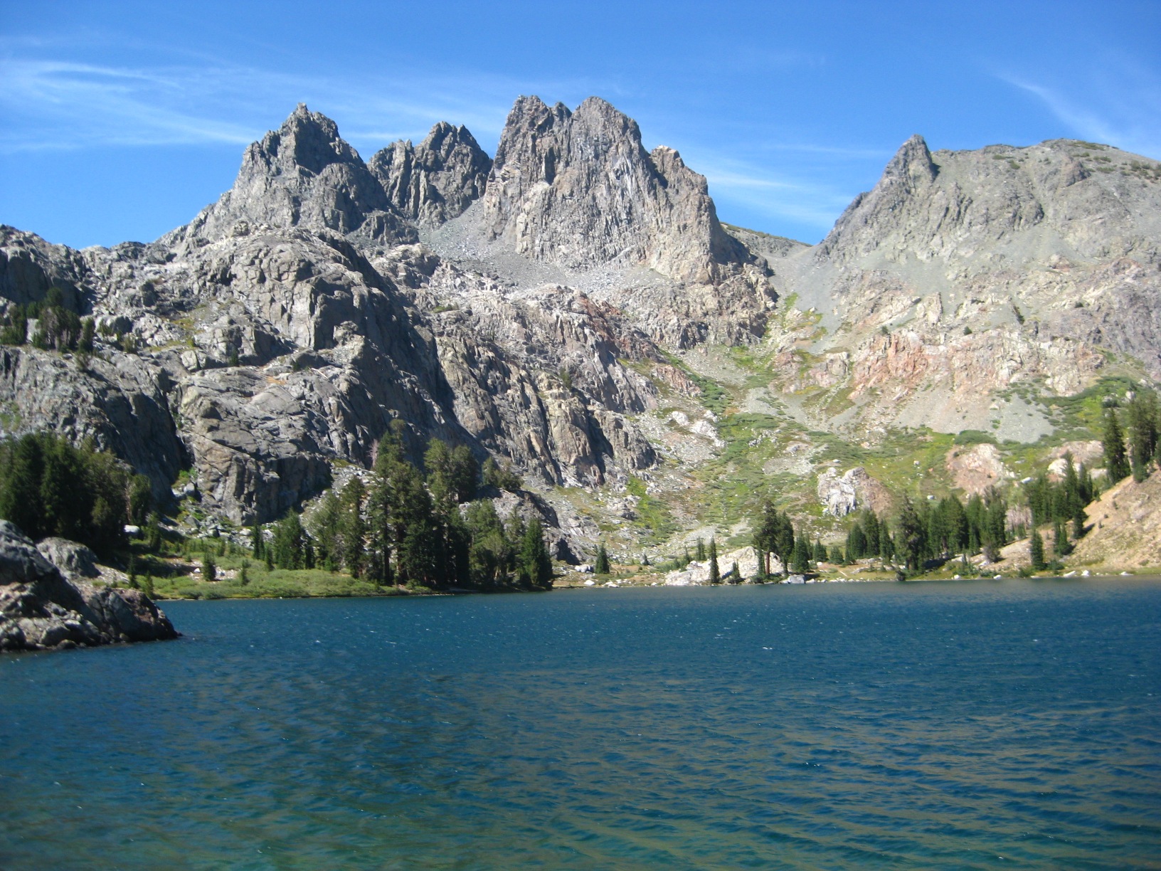
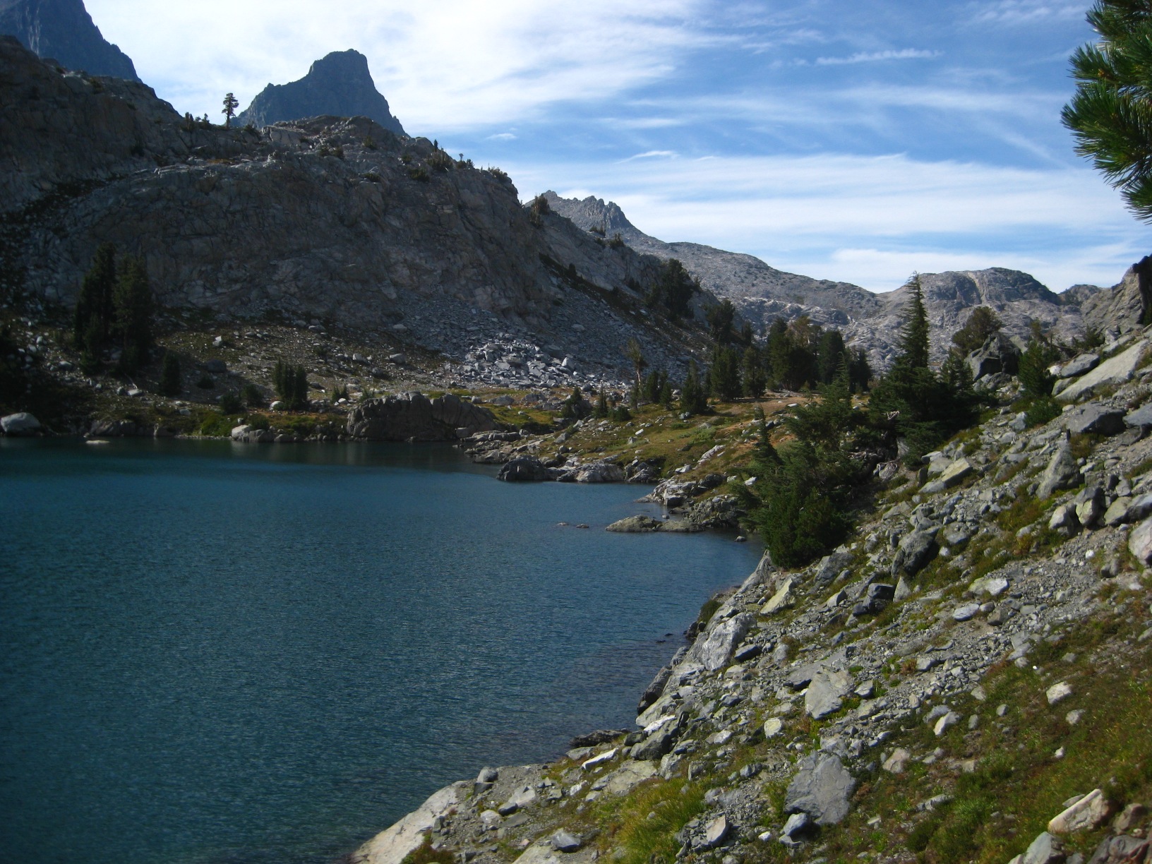
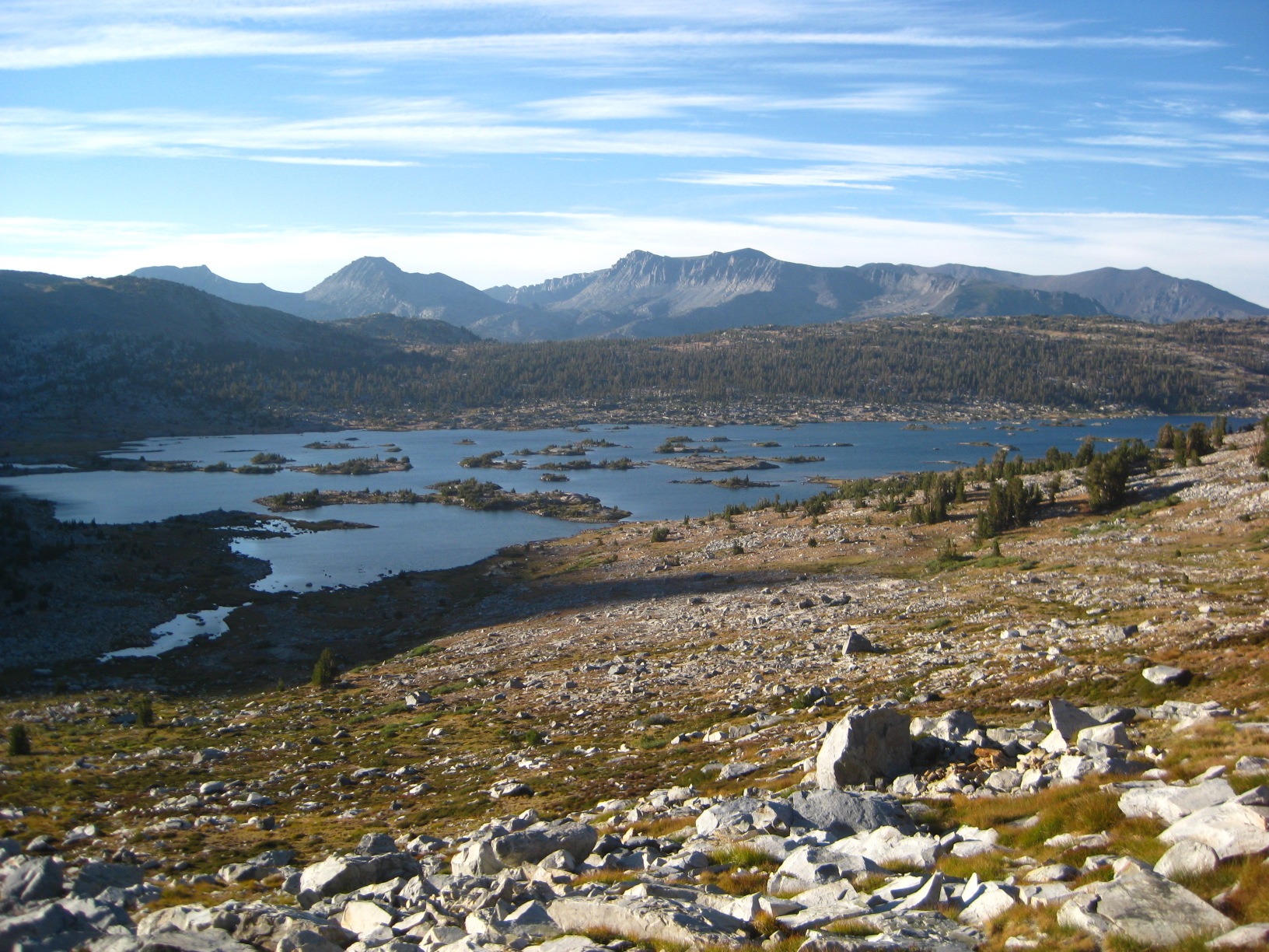
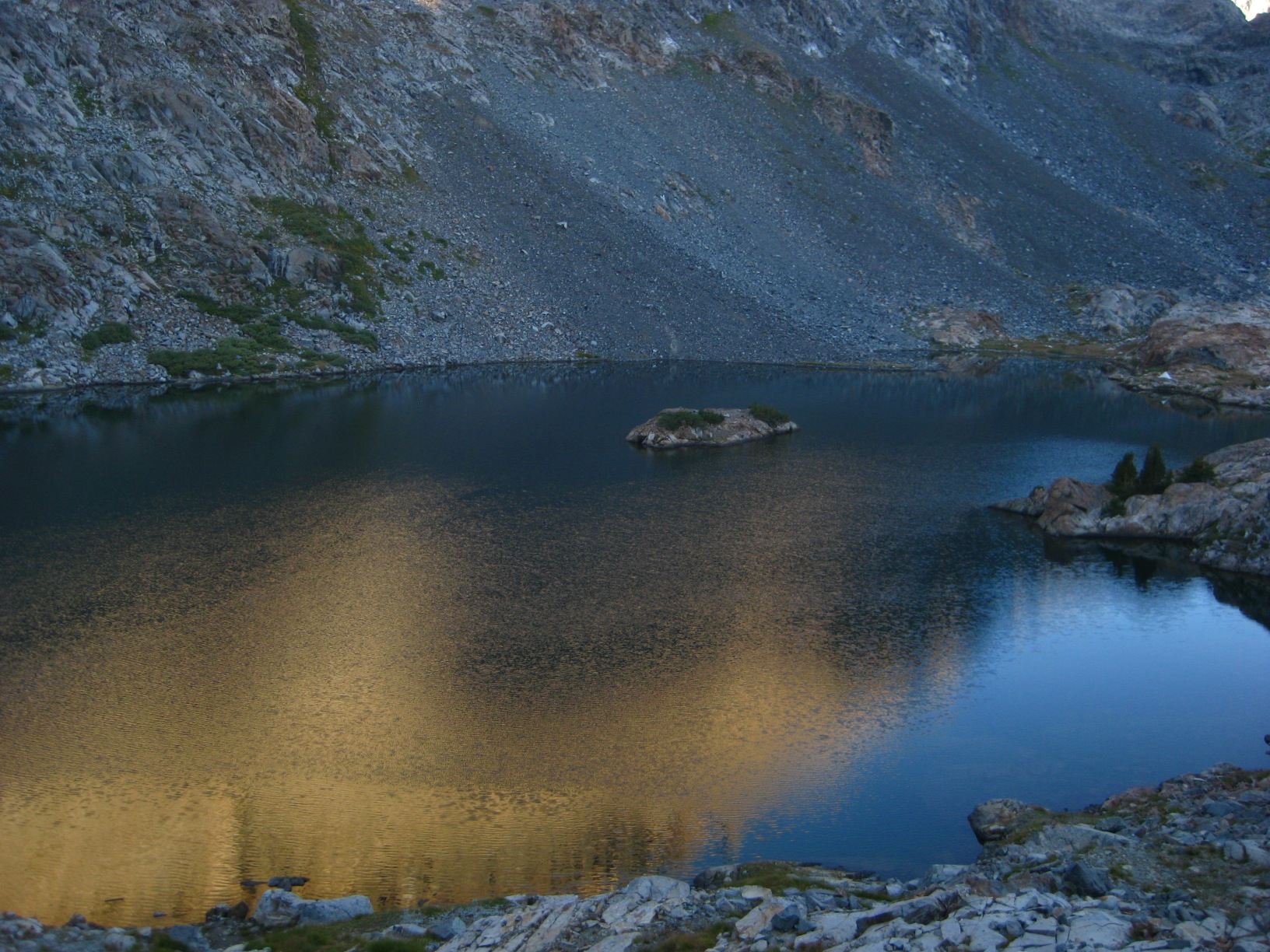
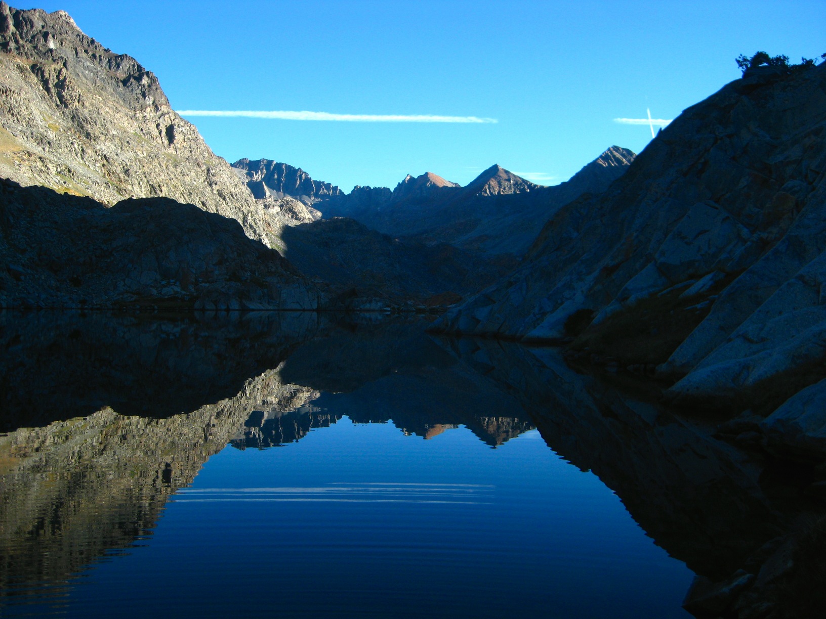
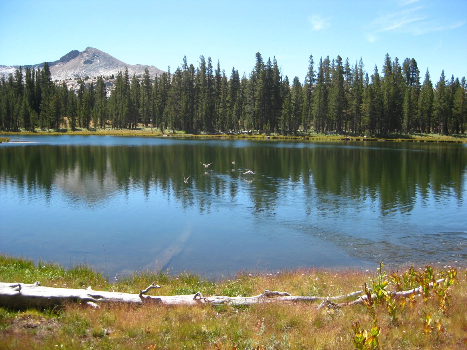
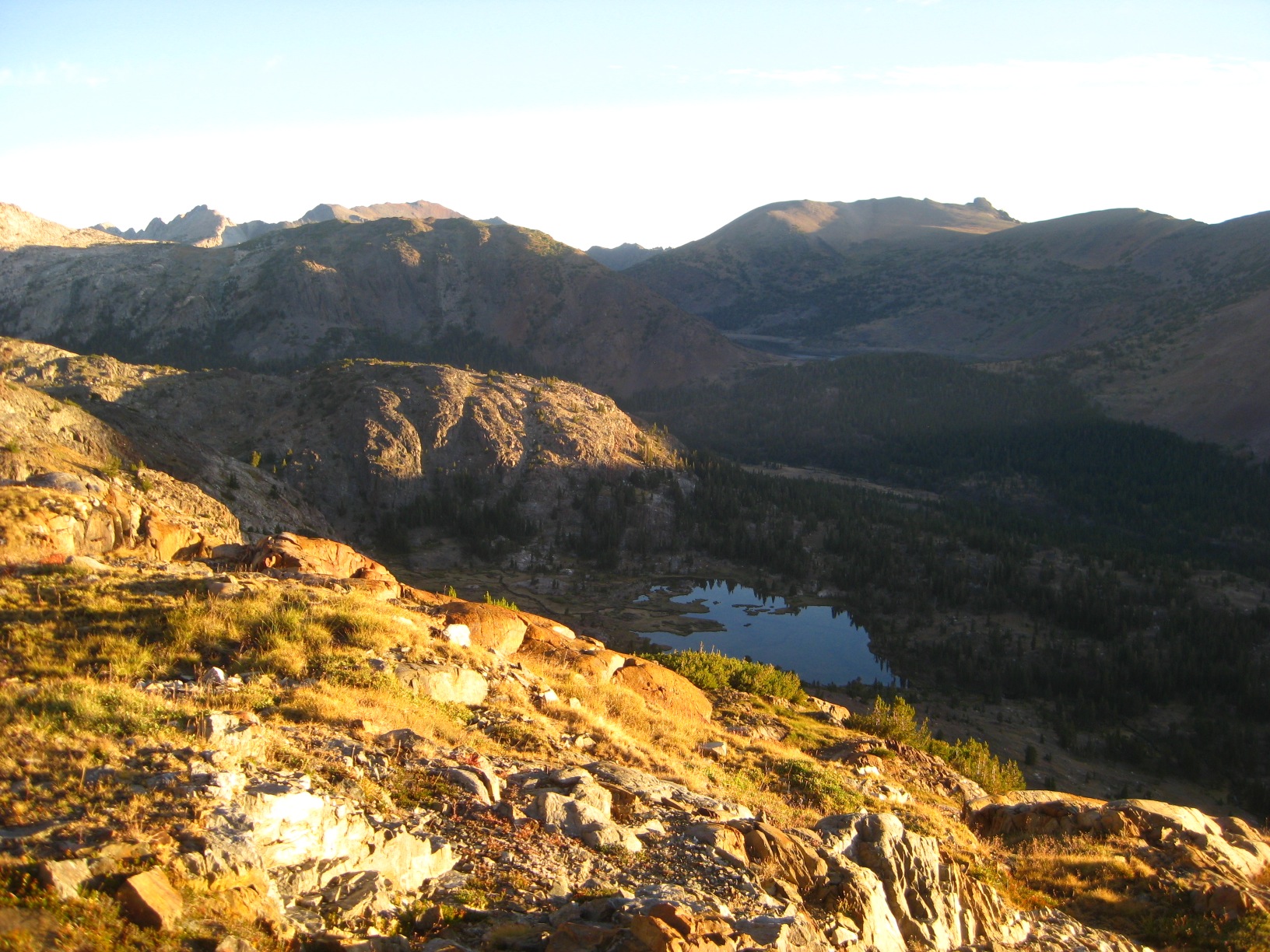
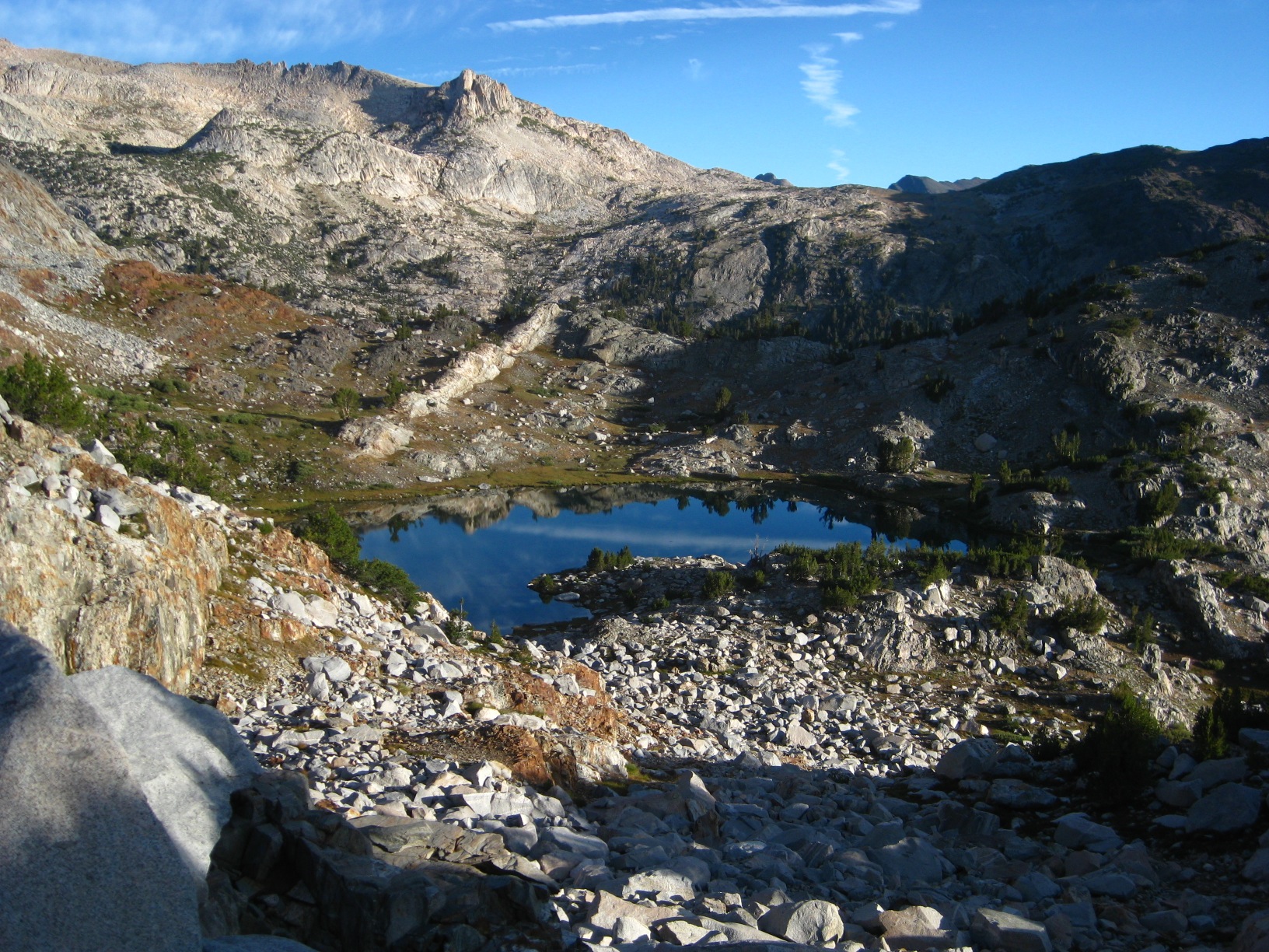
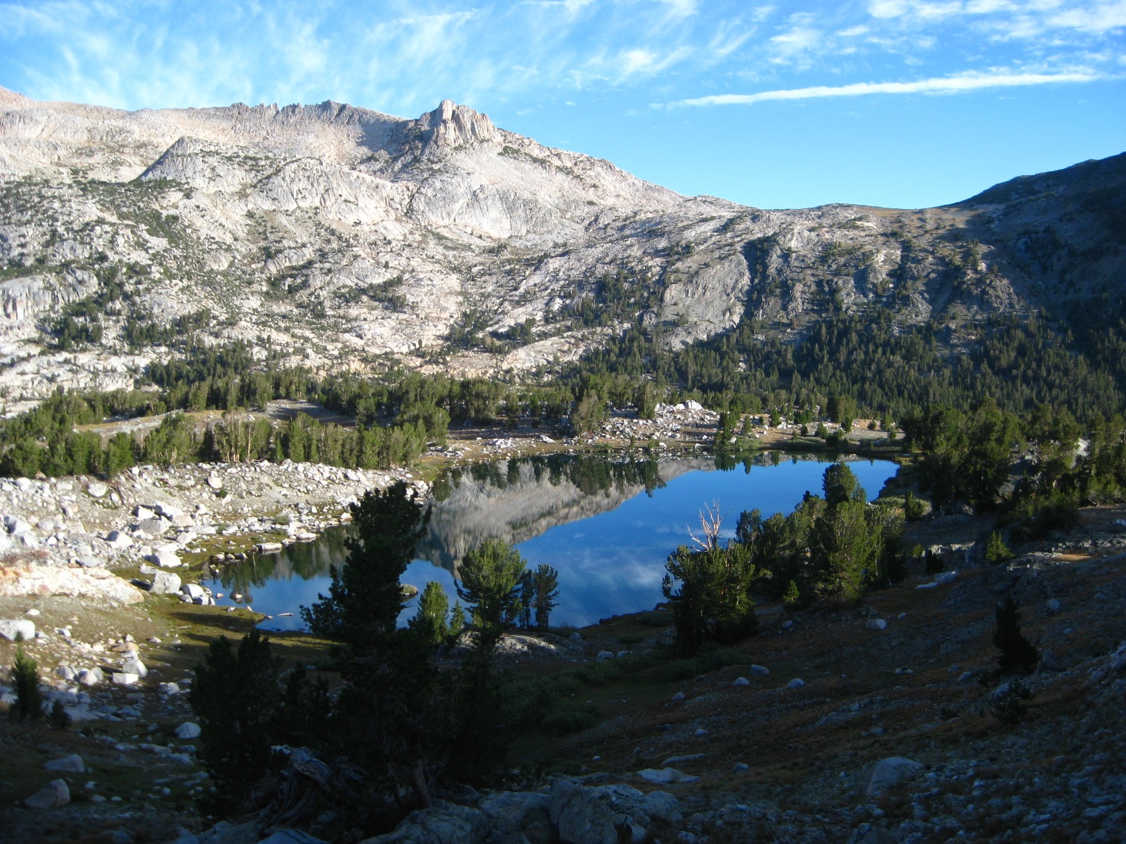
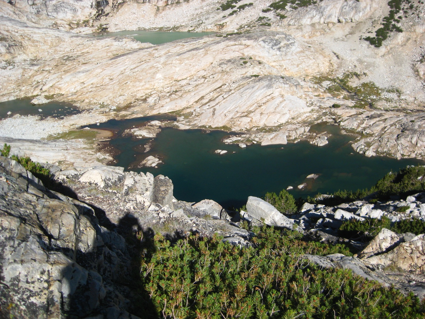
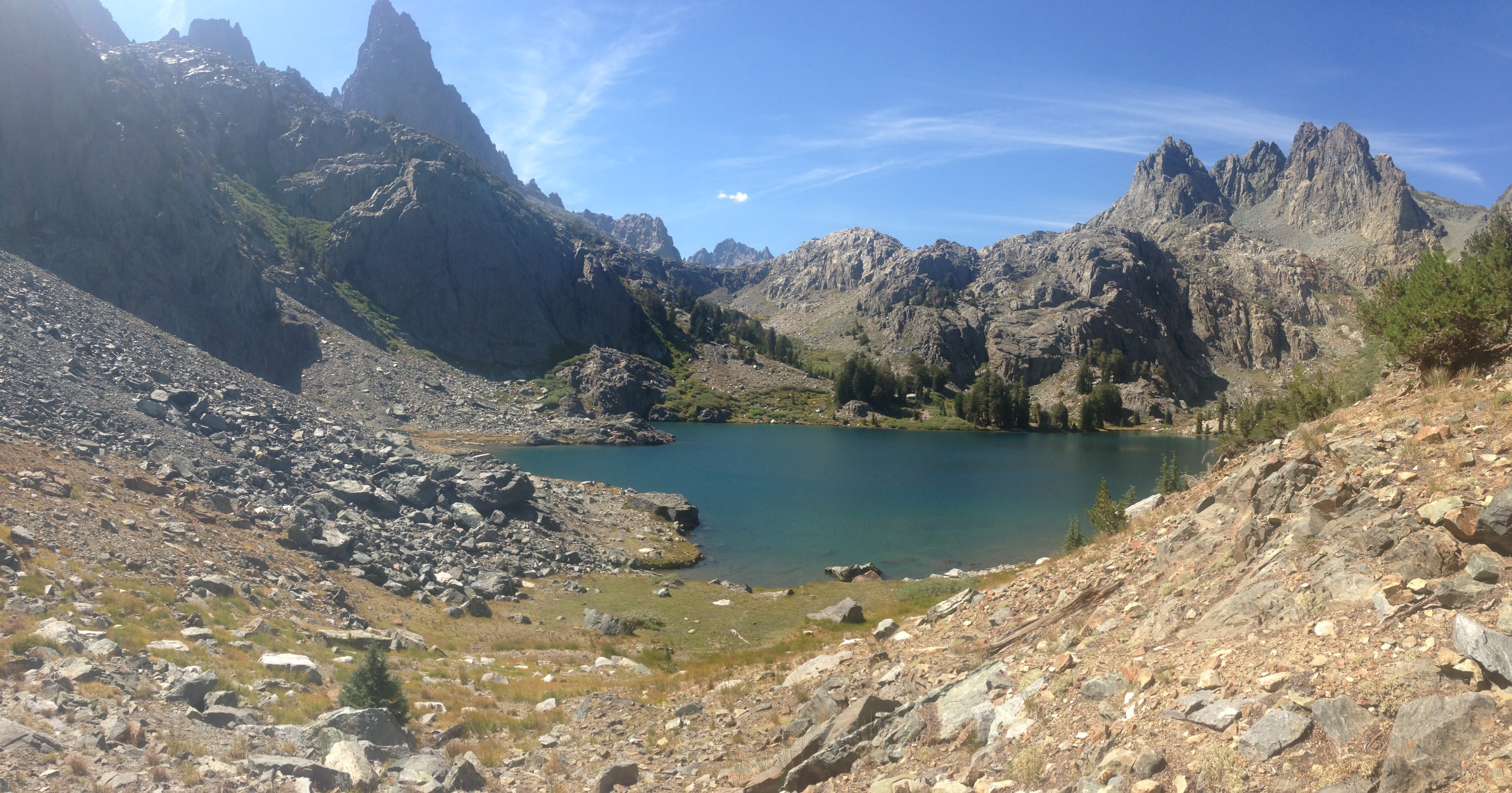
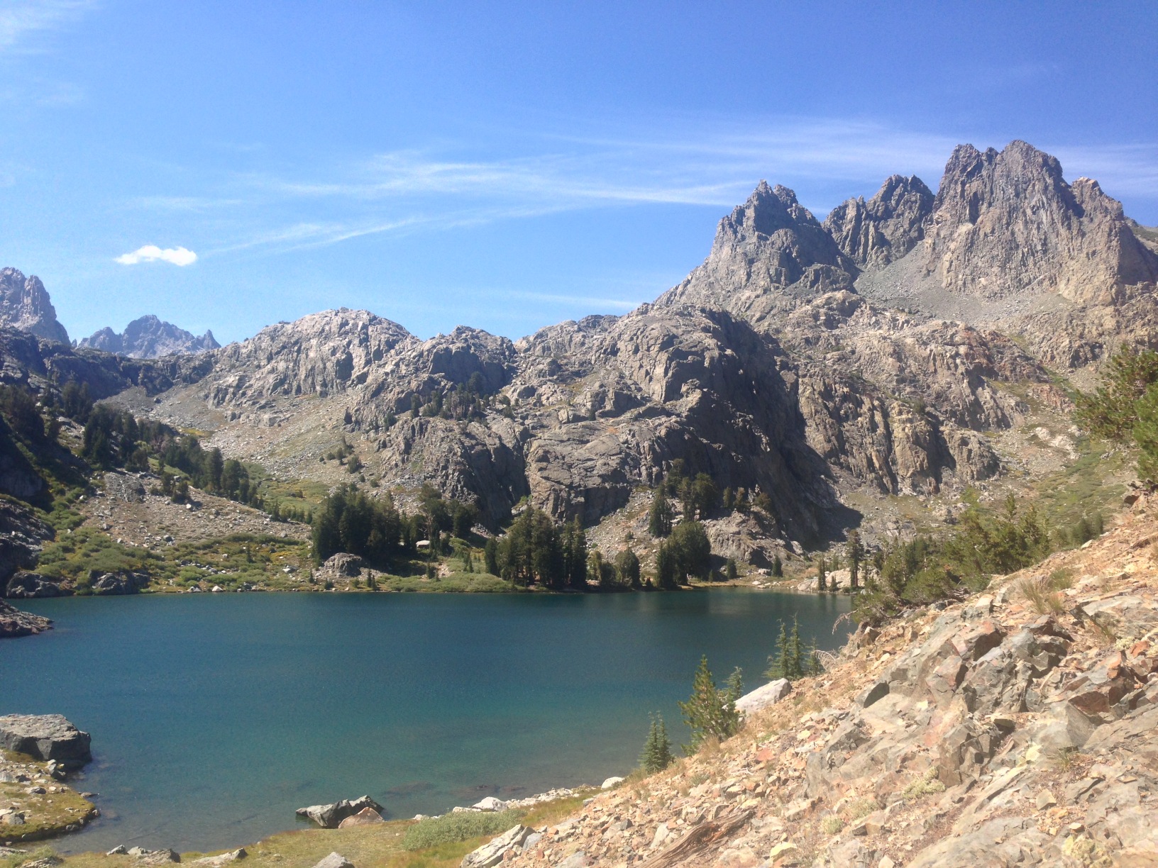
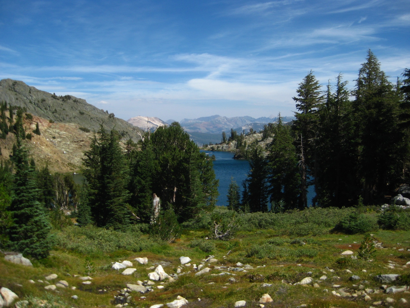
- Grouse Lake
-
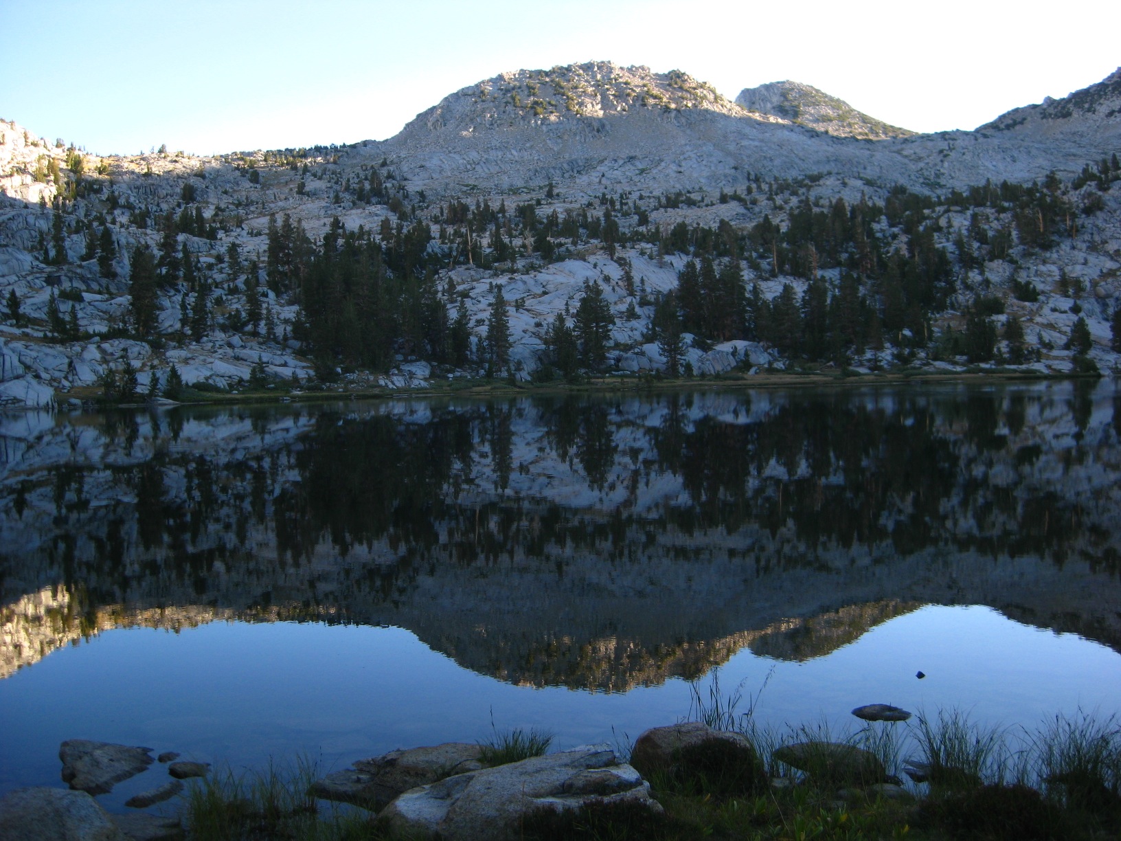
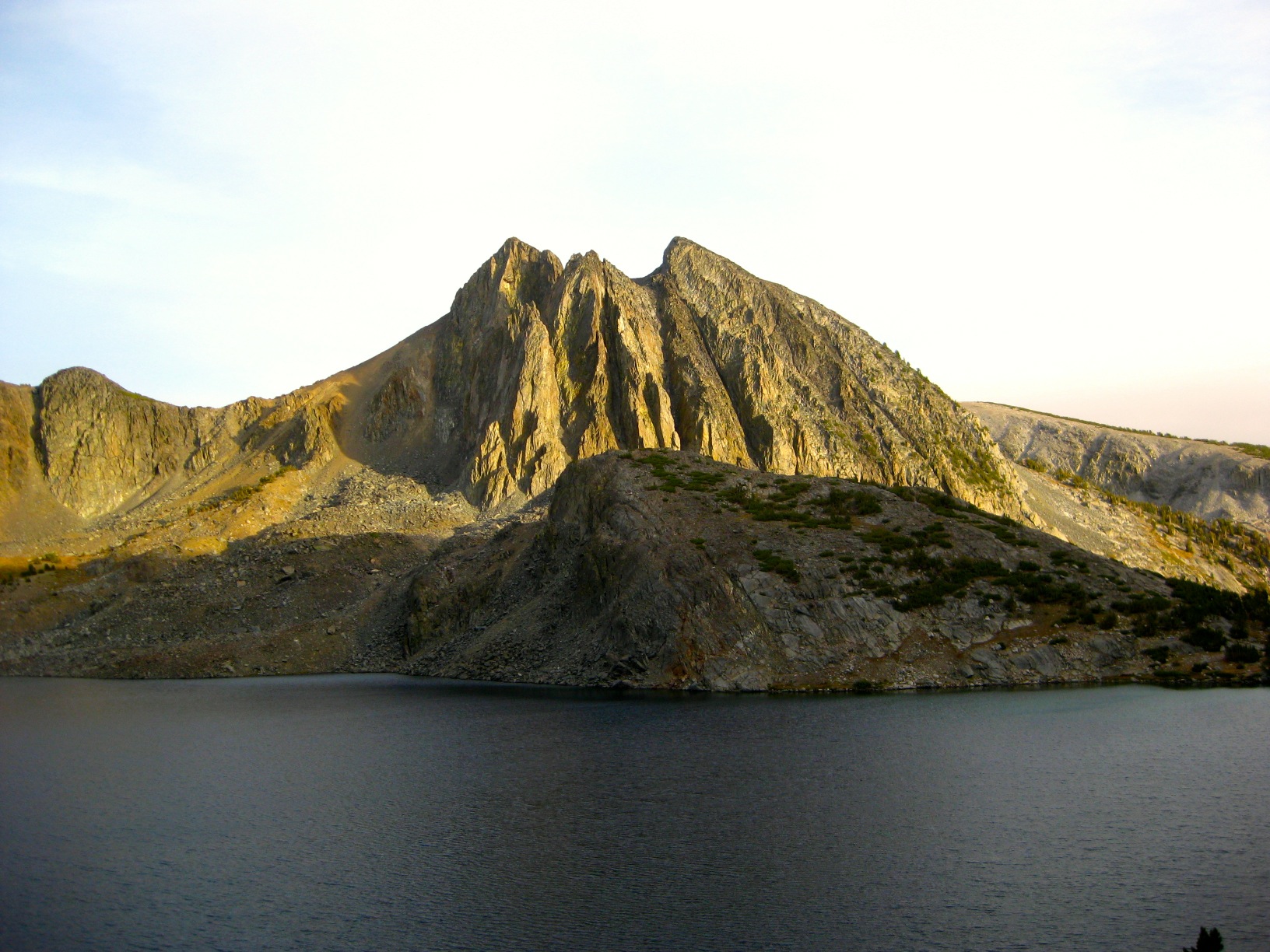
- Grouse Lake
-
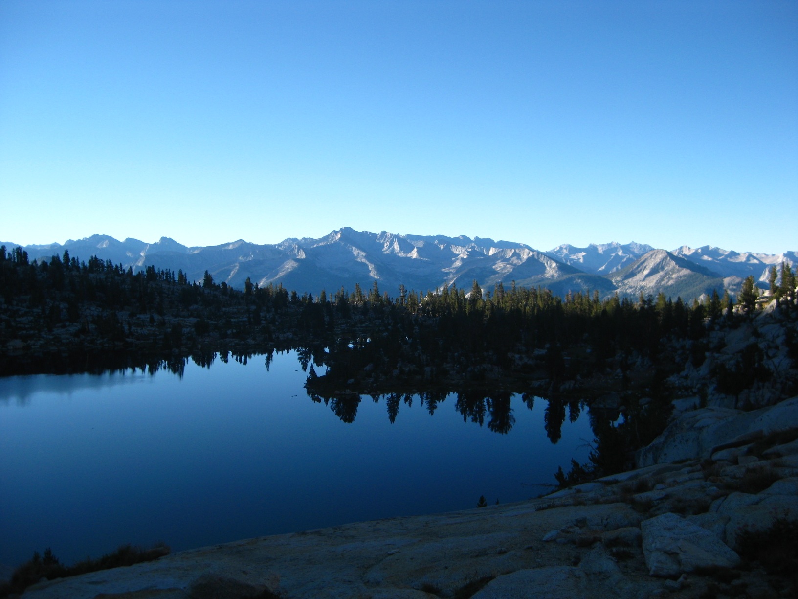
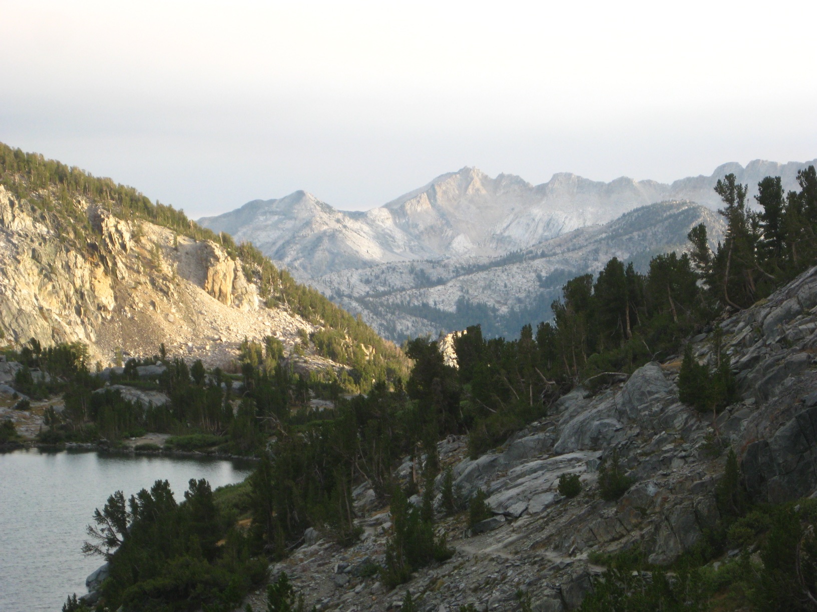
- Grouse Lake
-
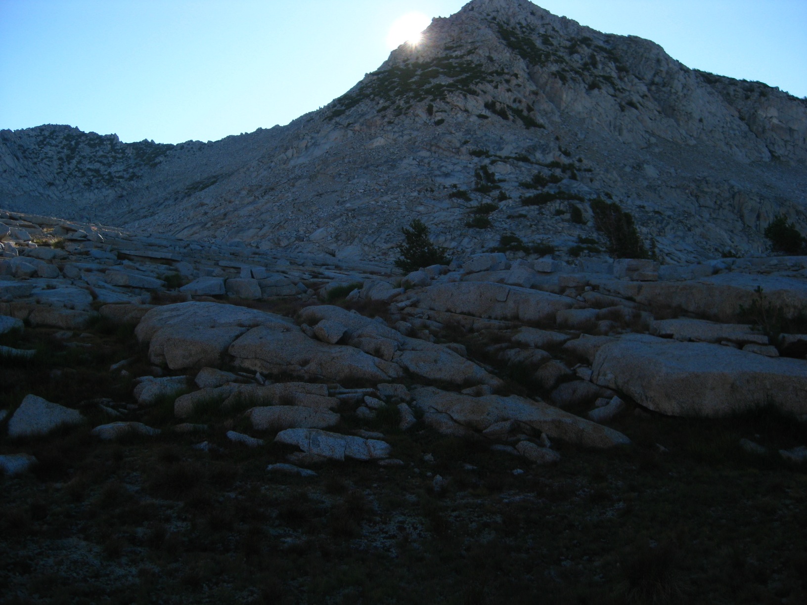
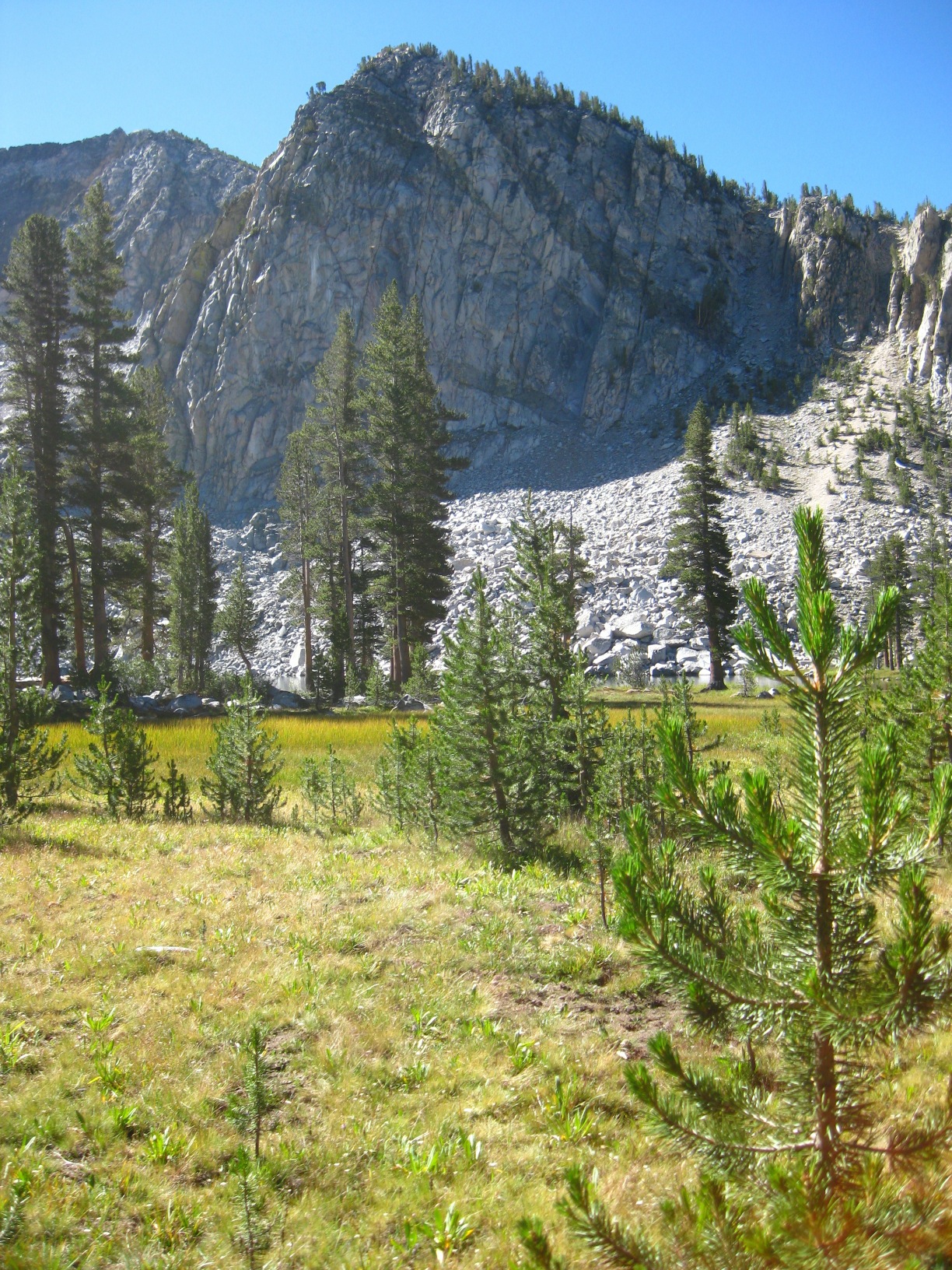
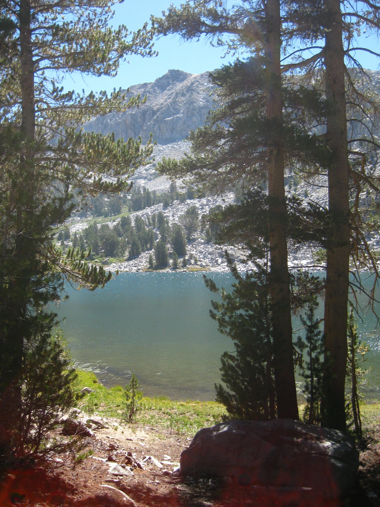
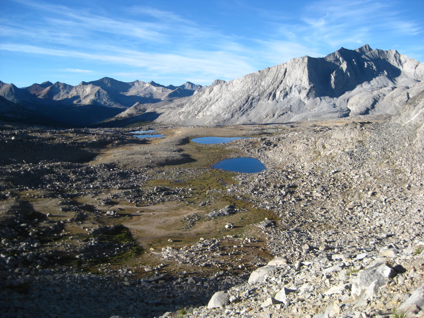
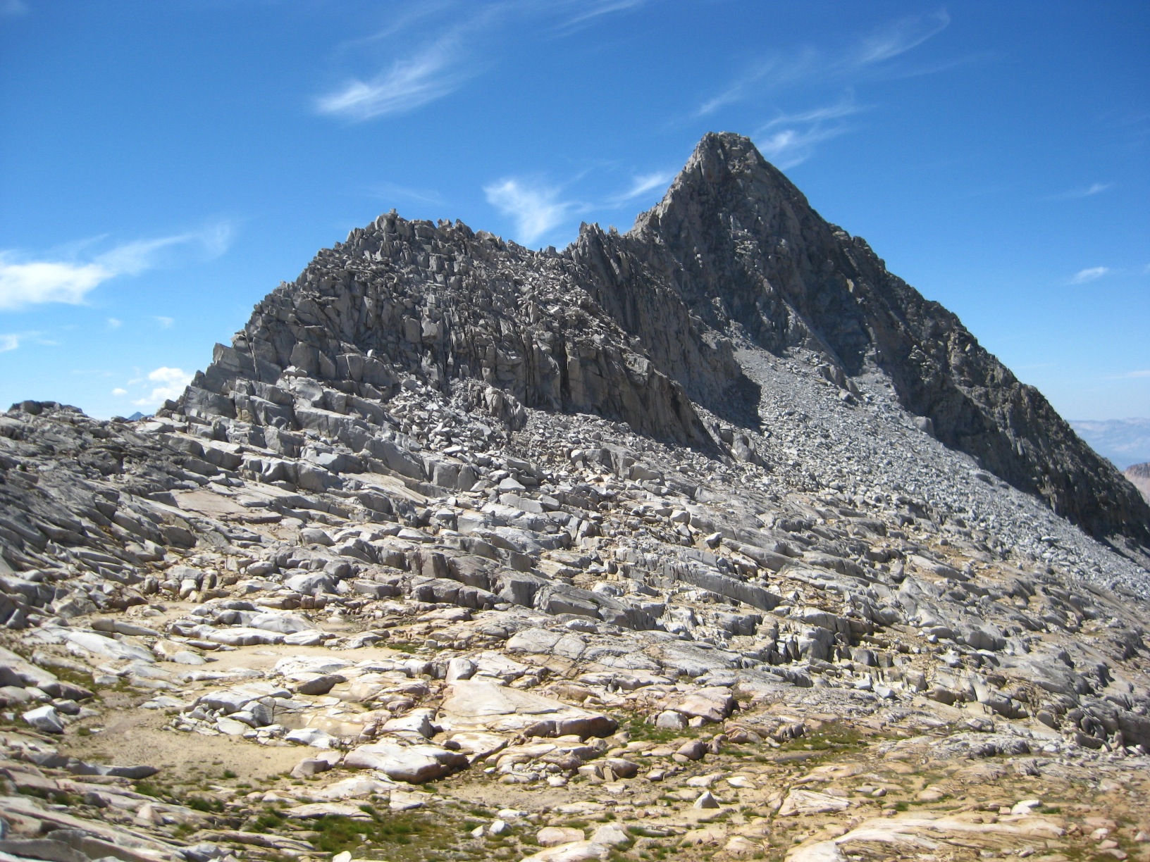
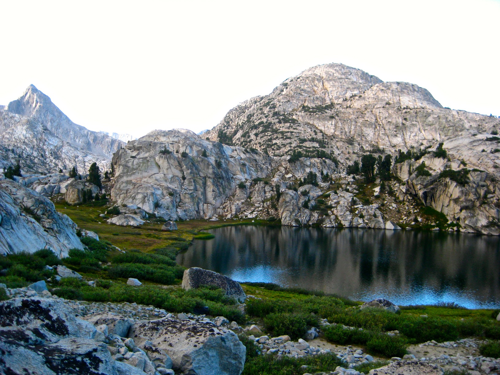
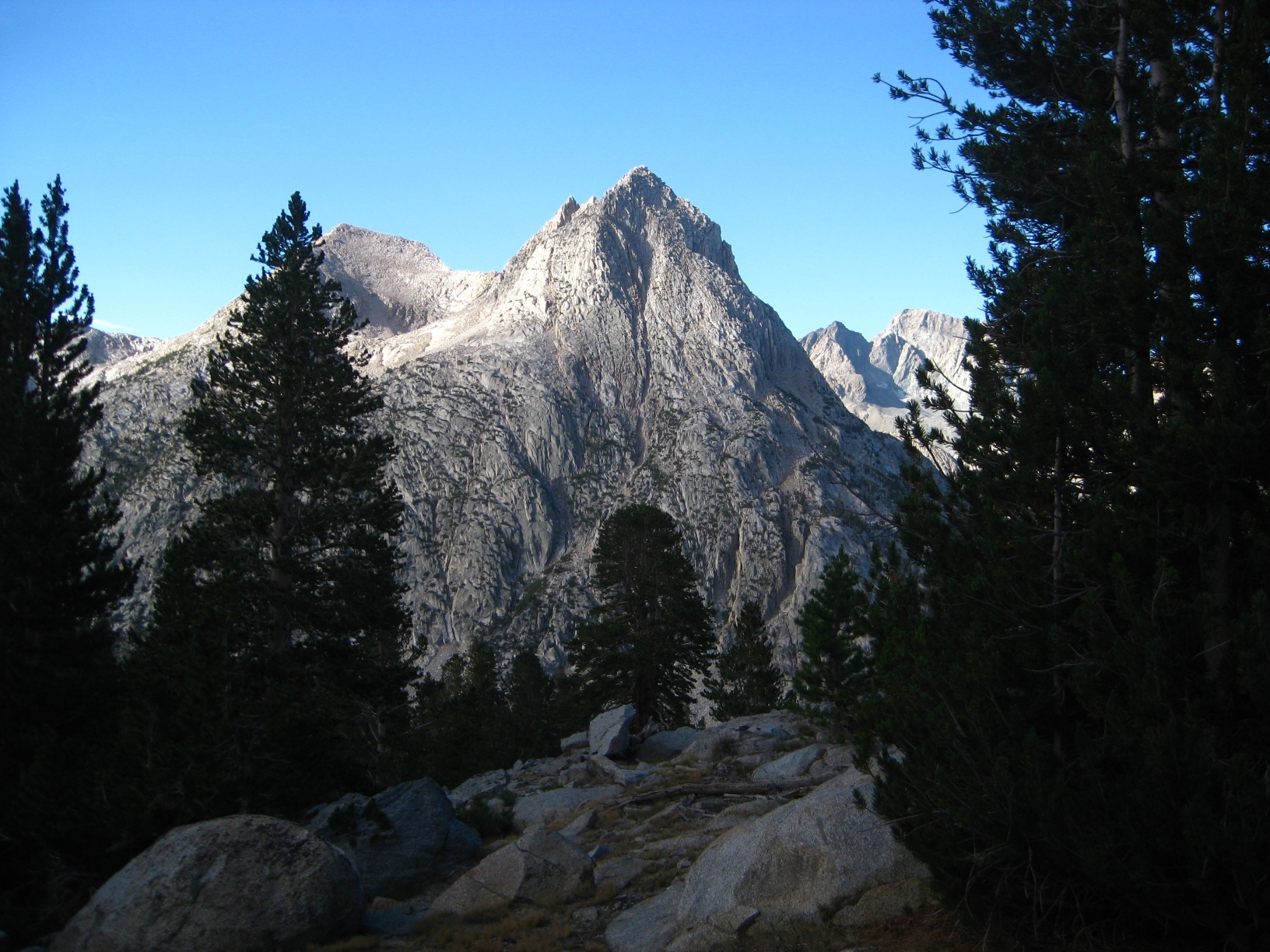
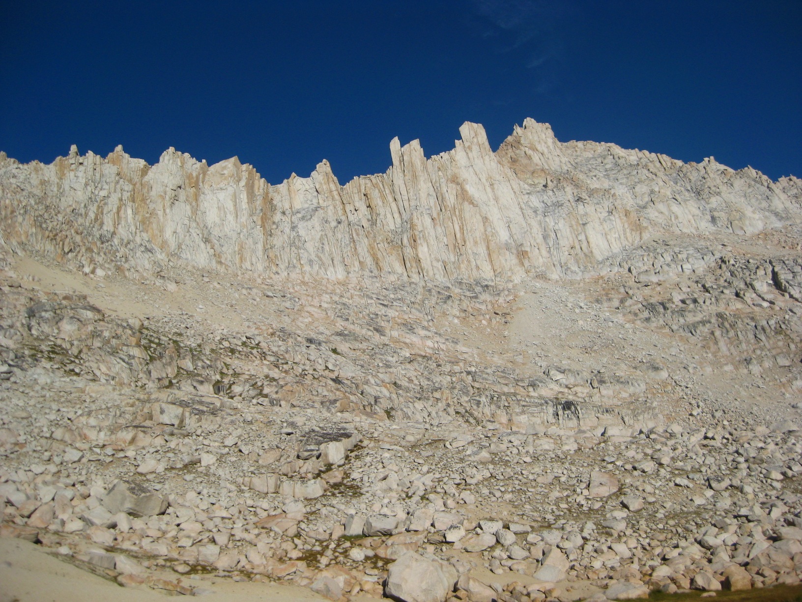
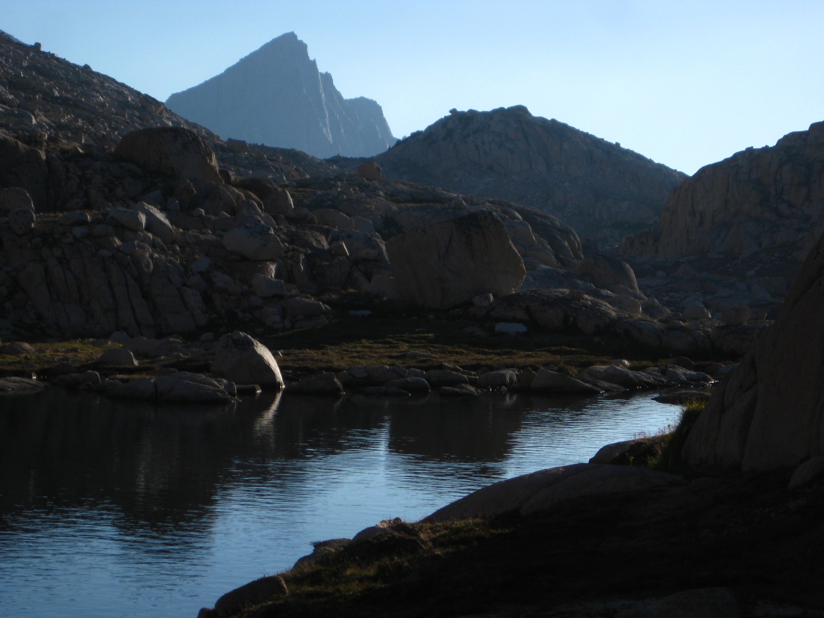
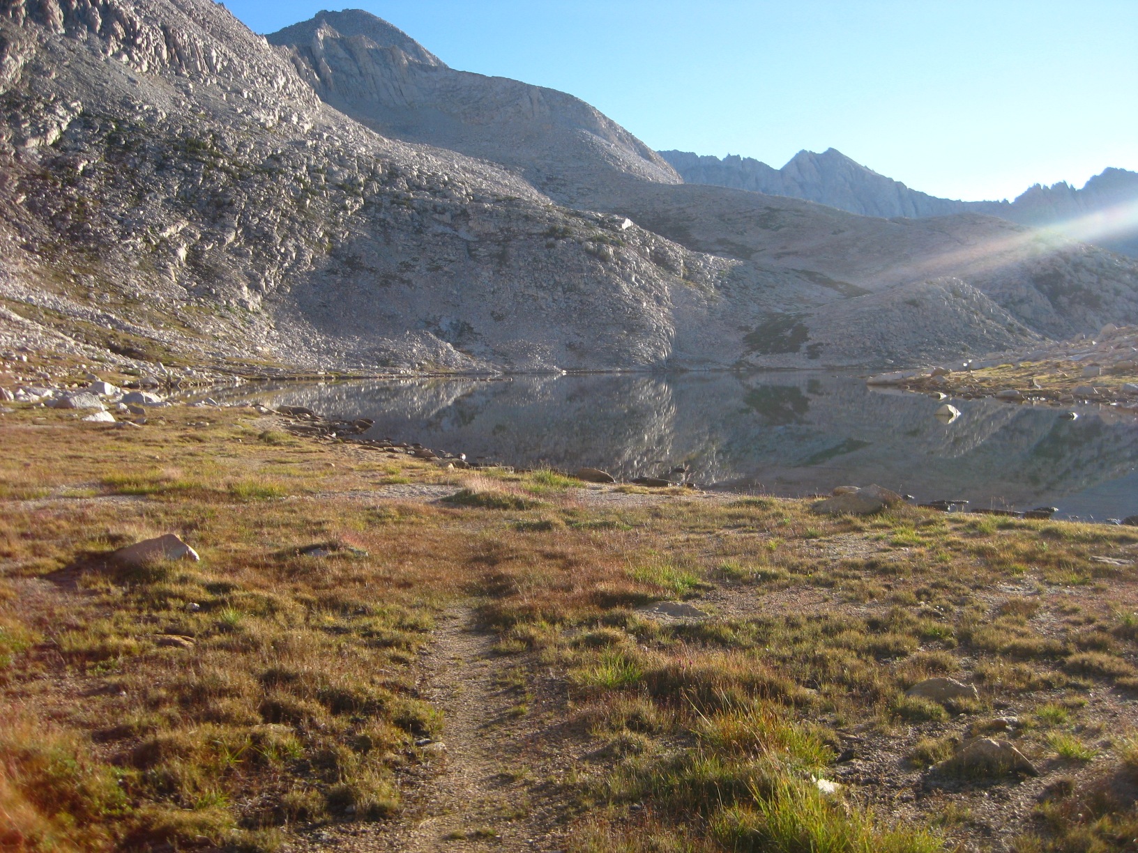
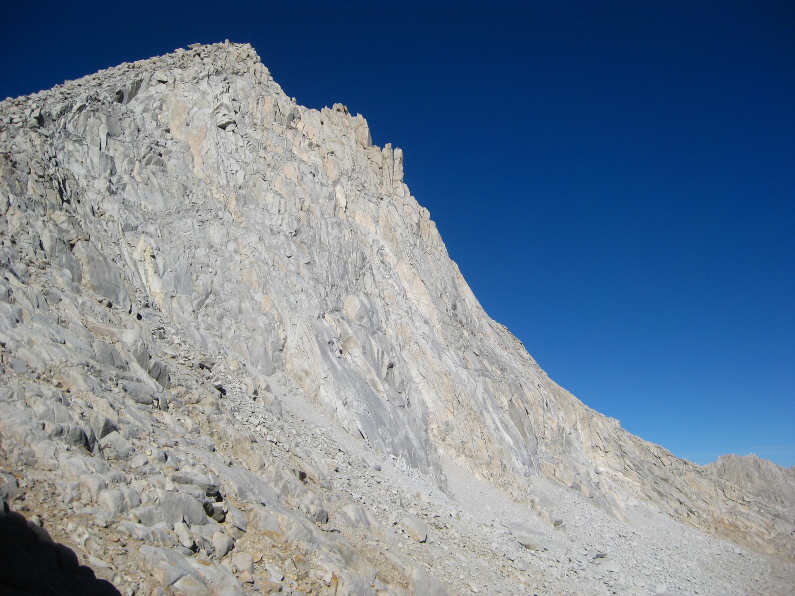
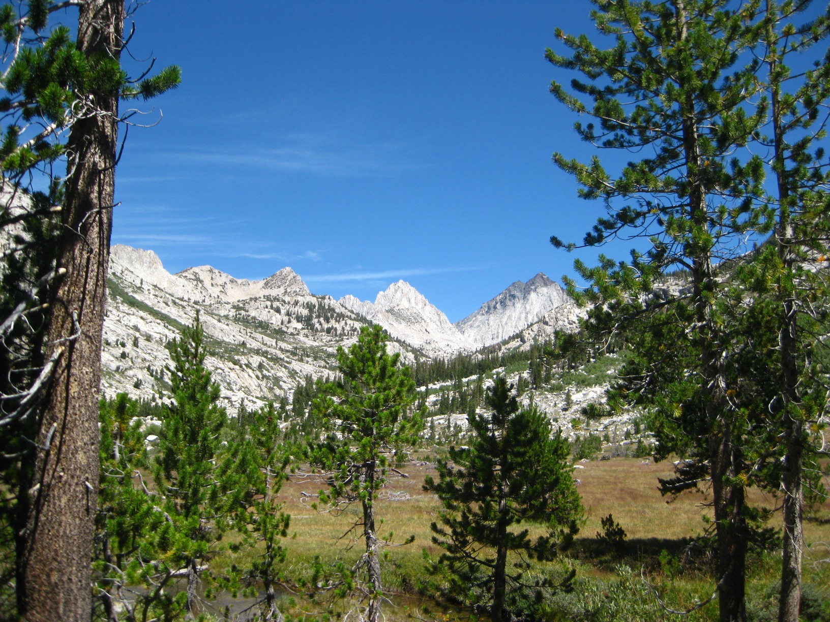
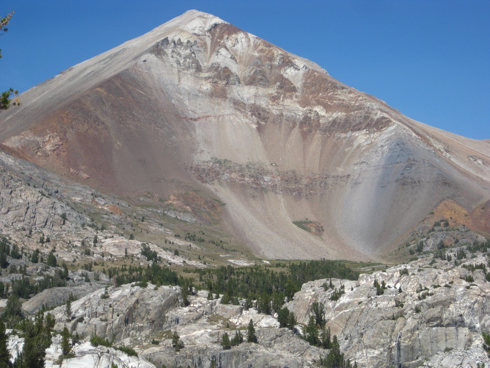
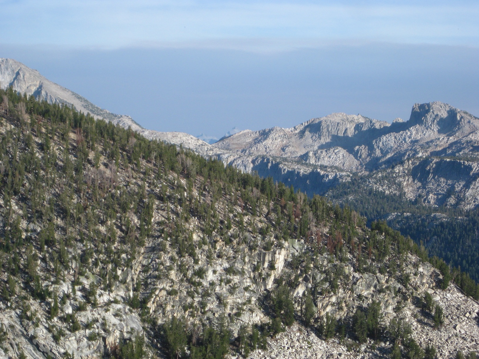
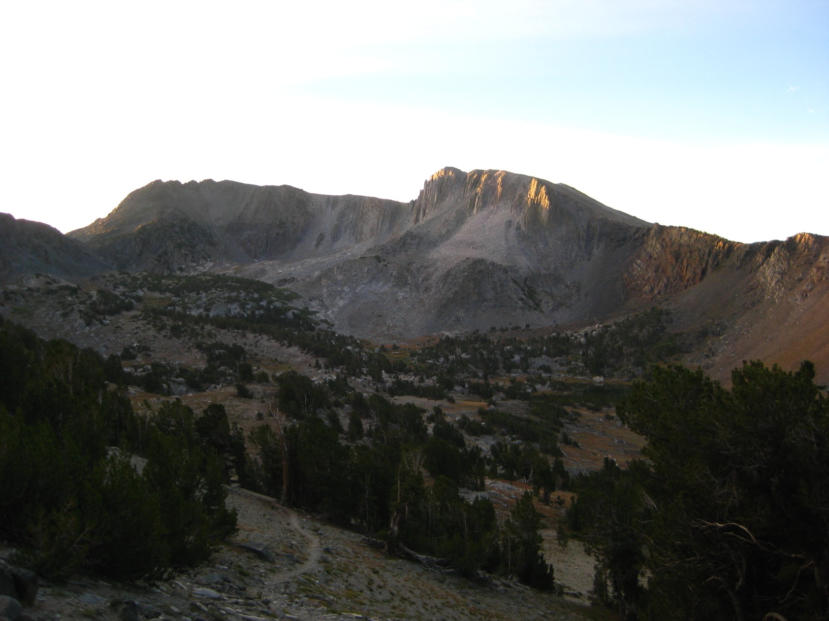
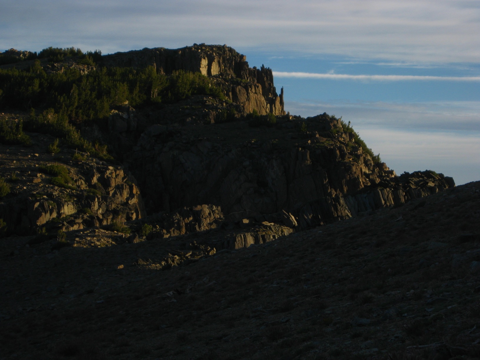
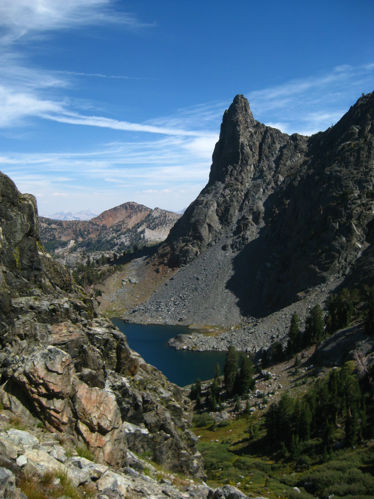
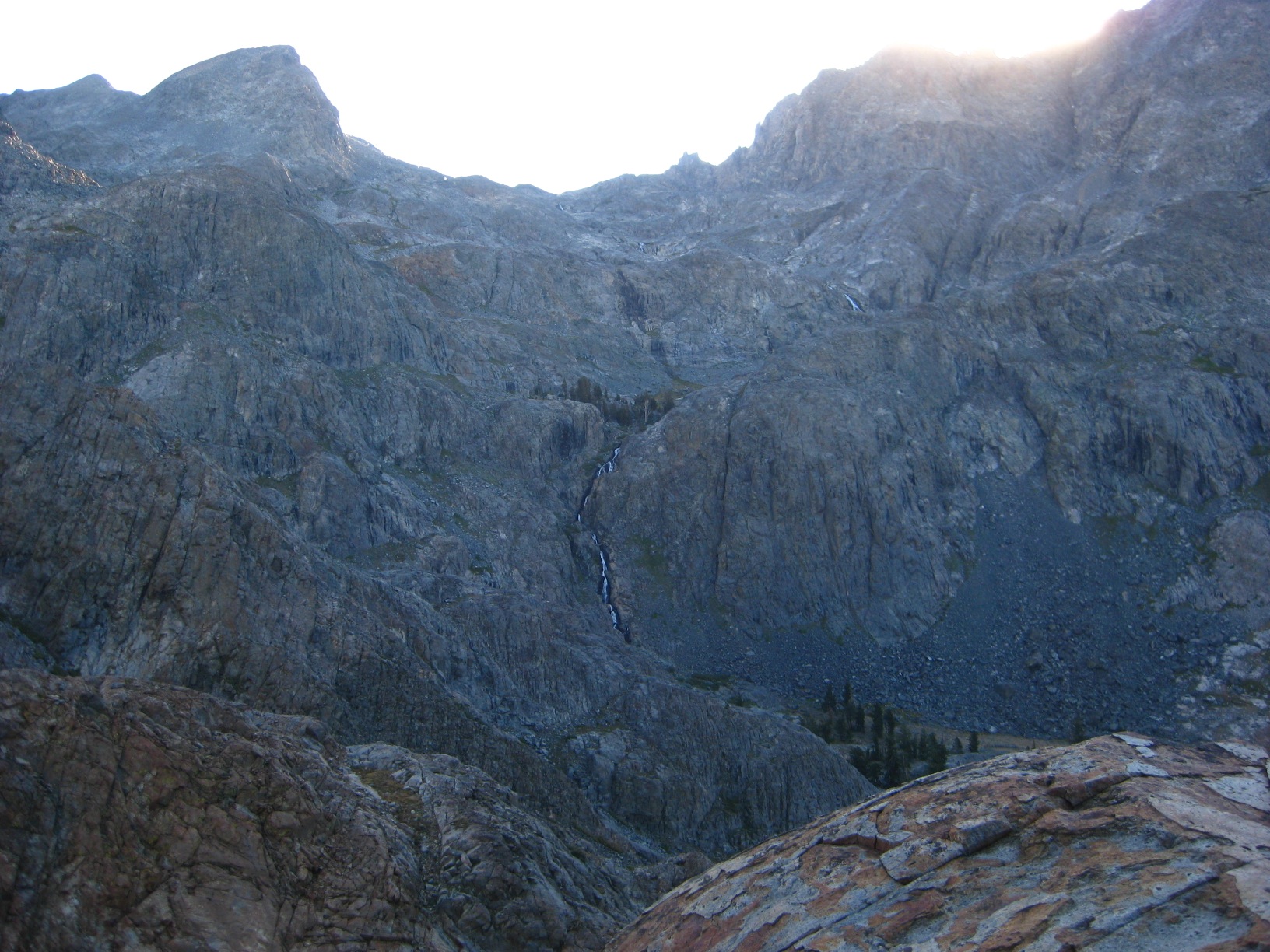
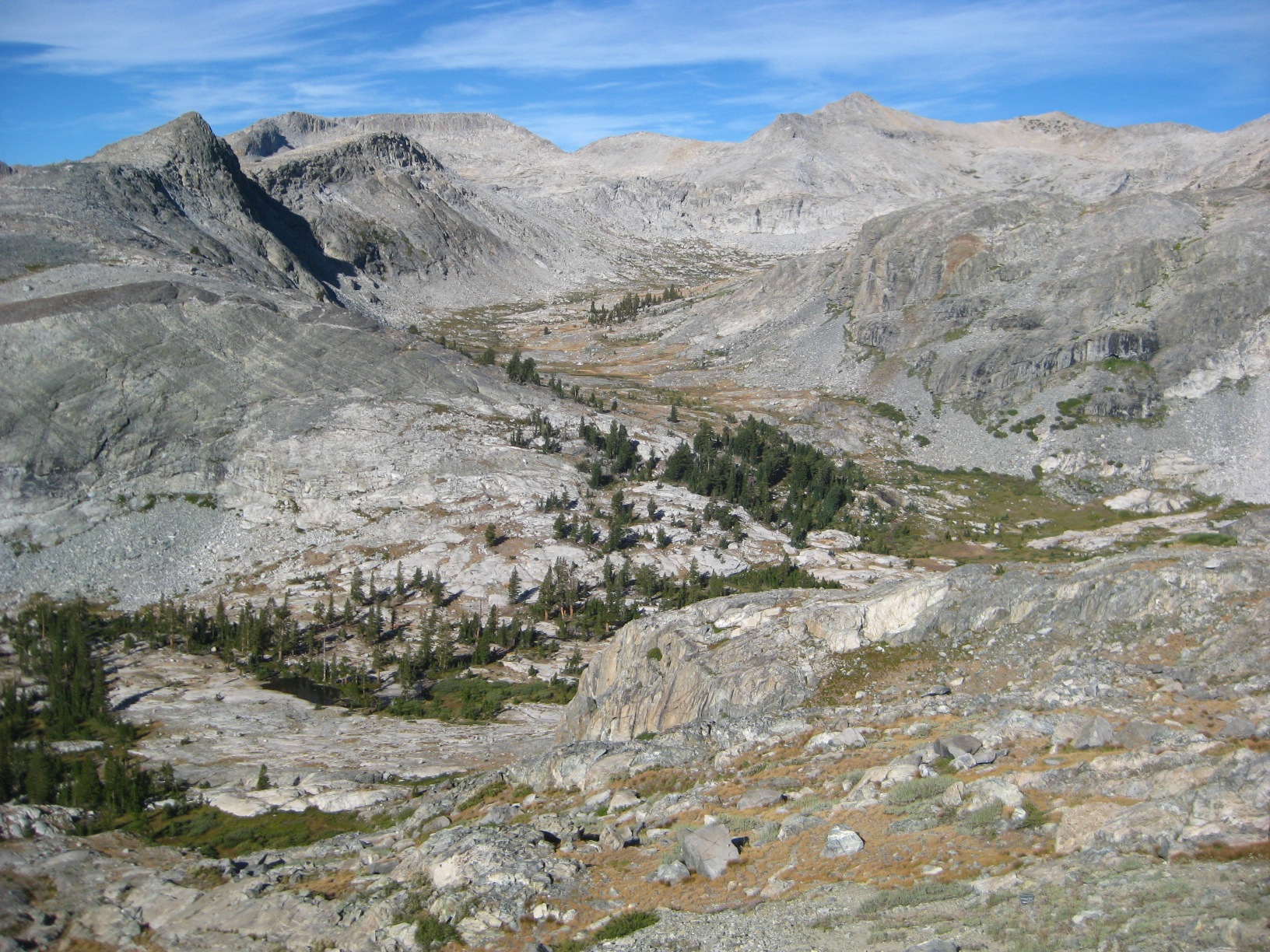
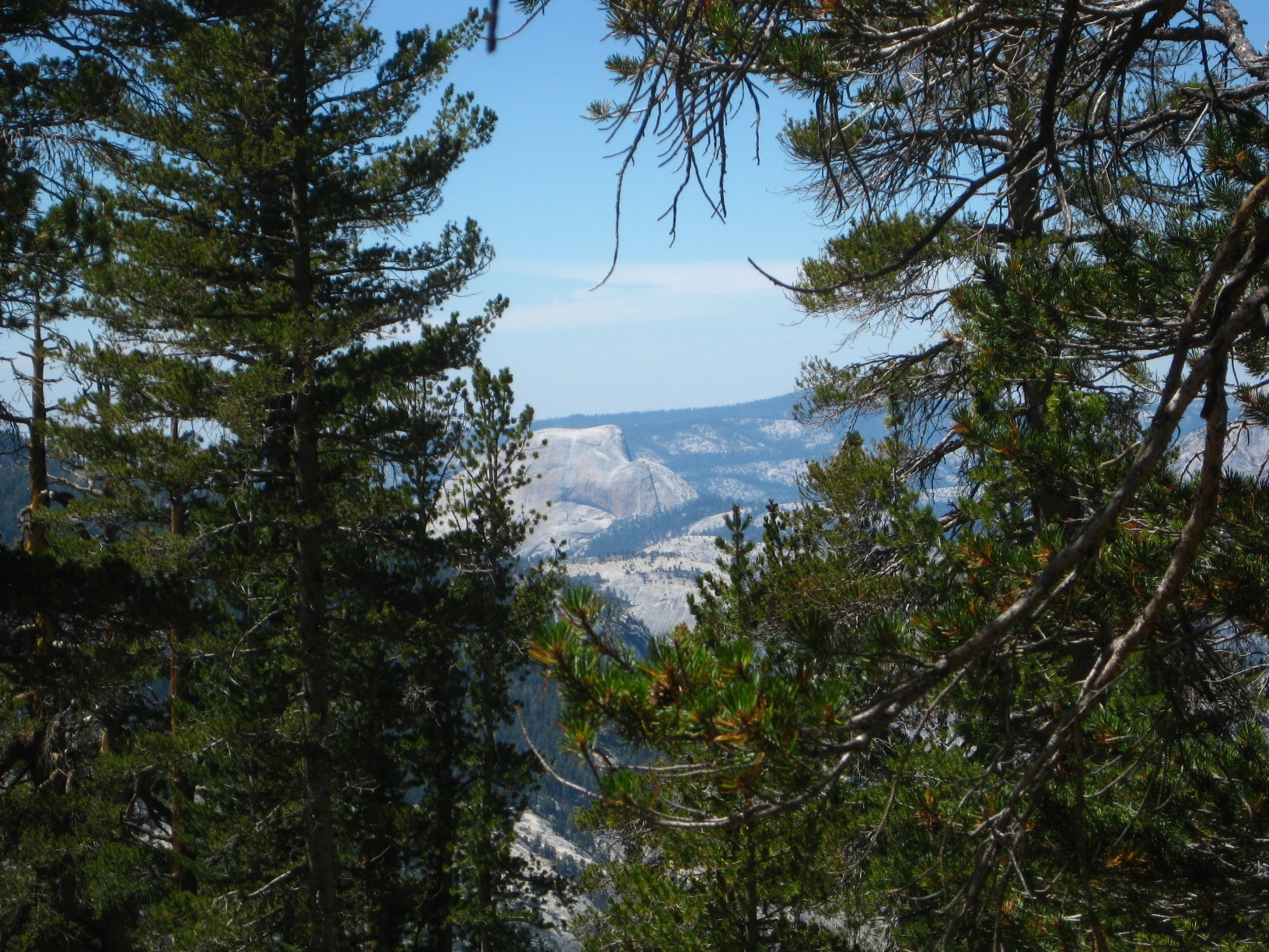
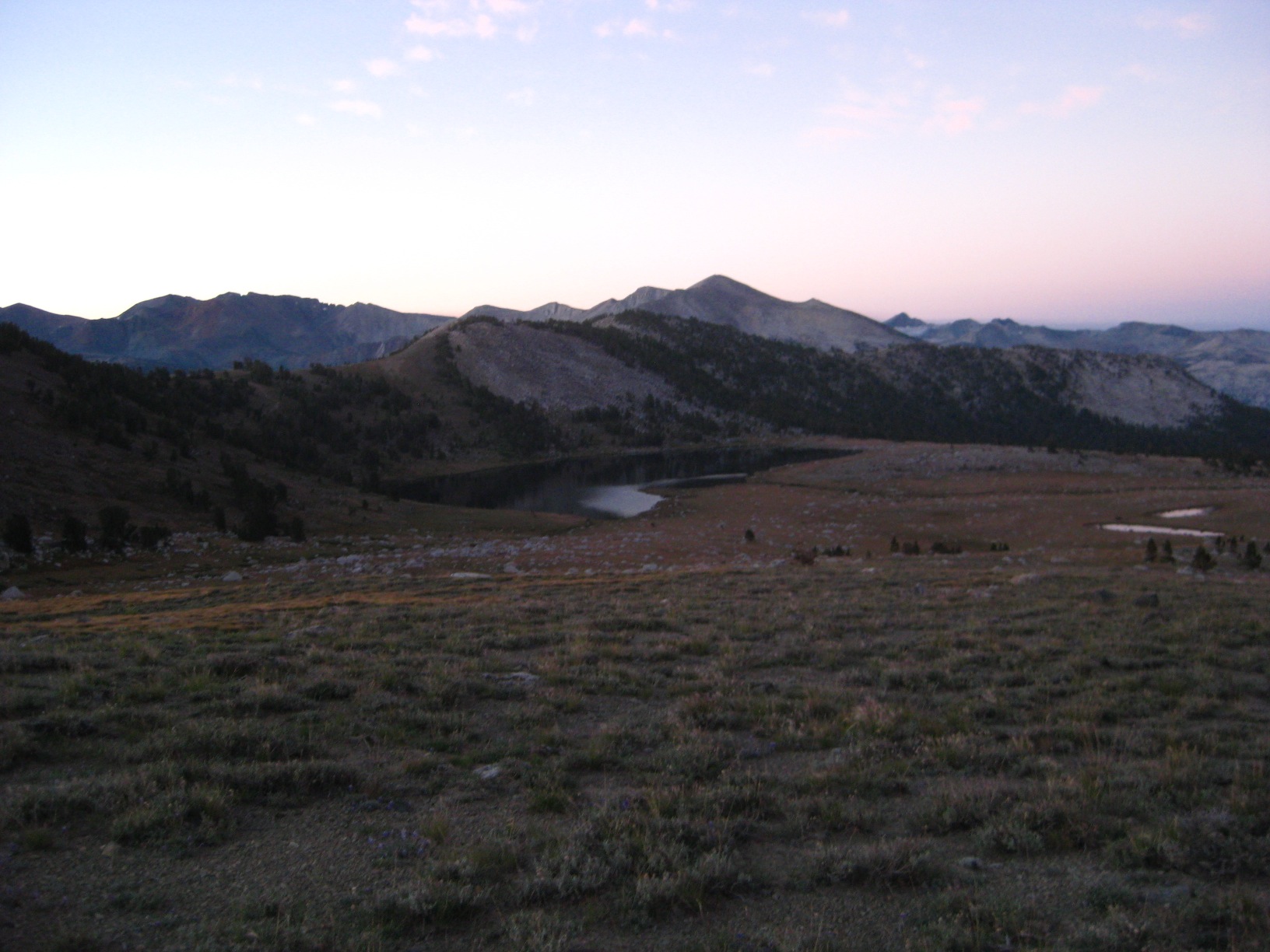
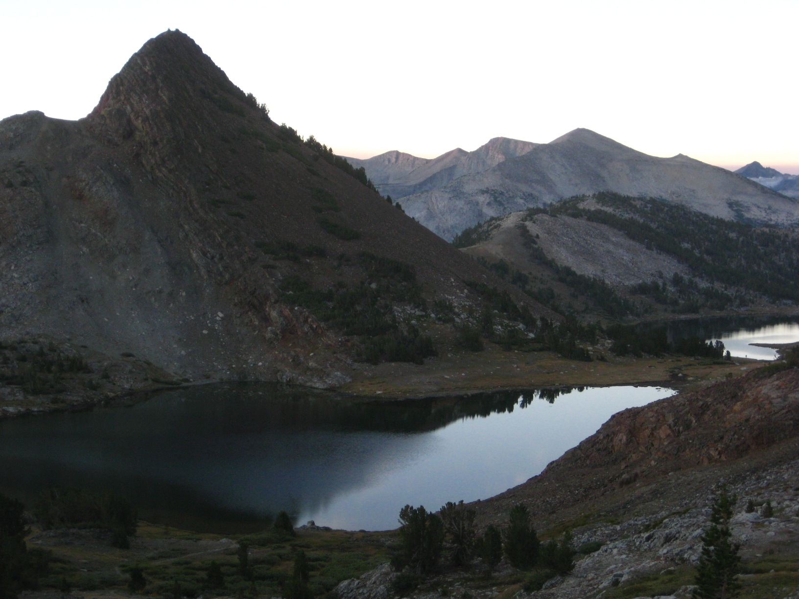
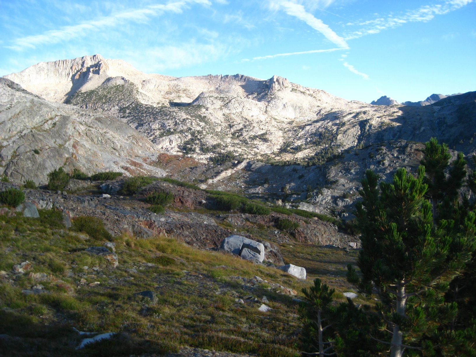
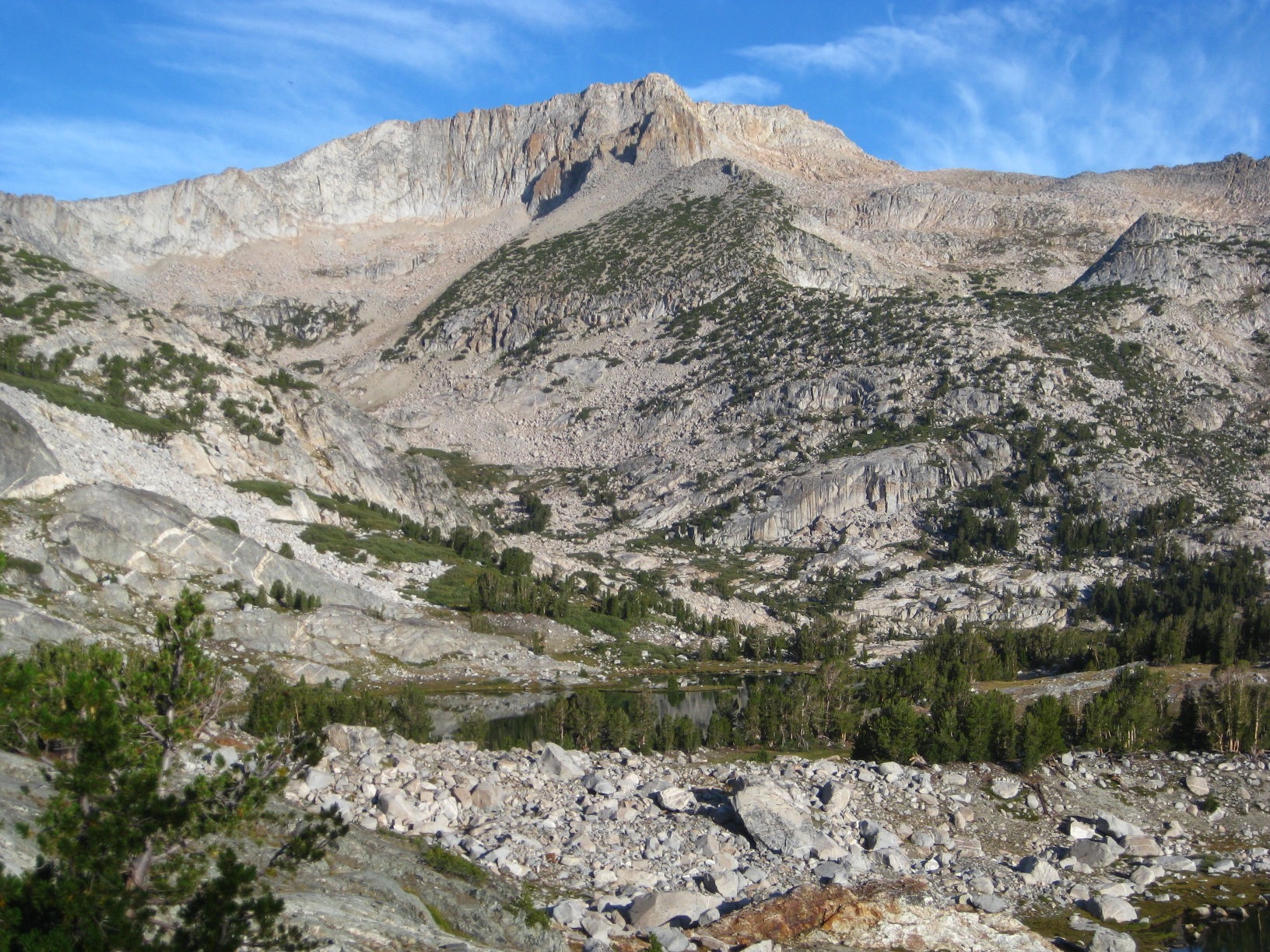
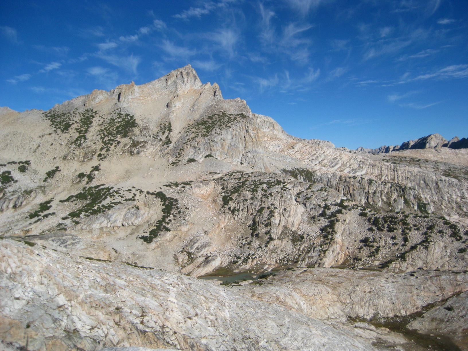
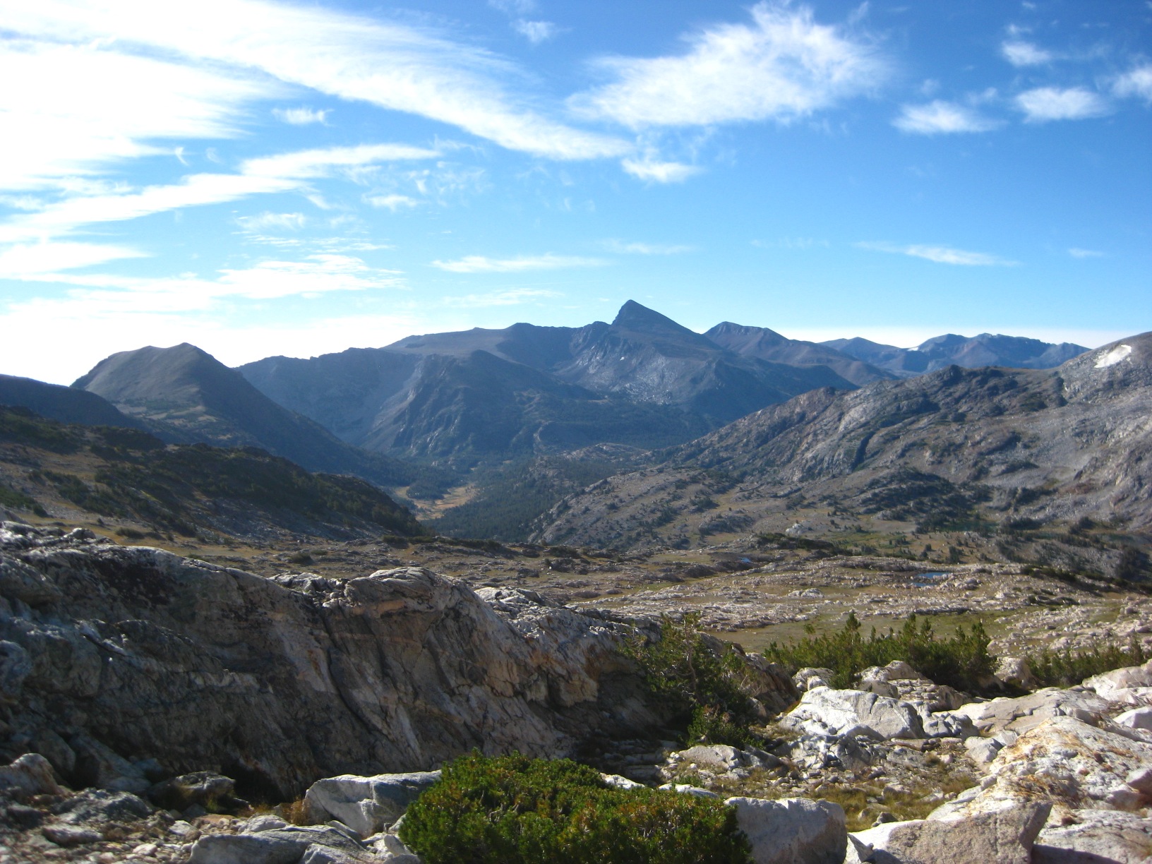
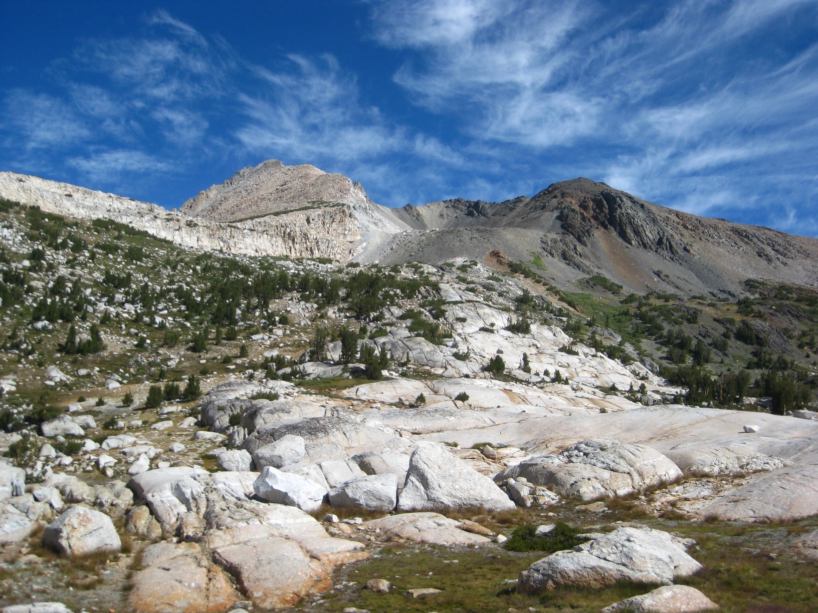
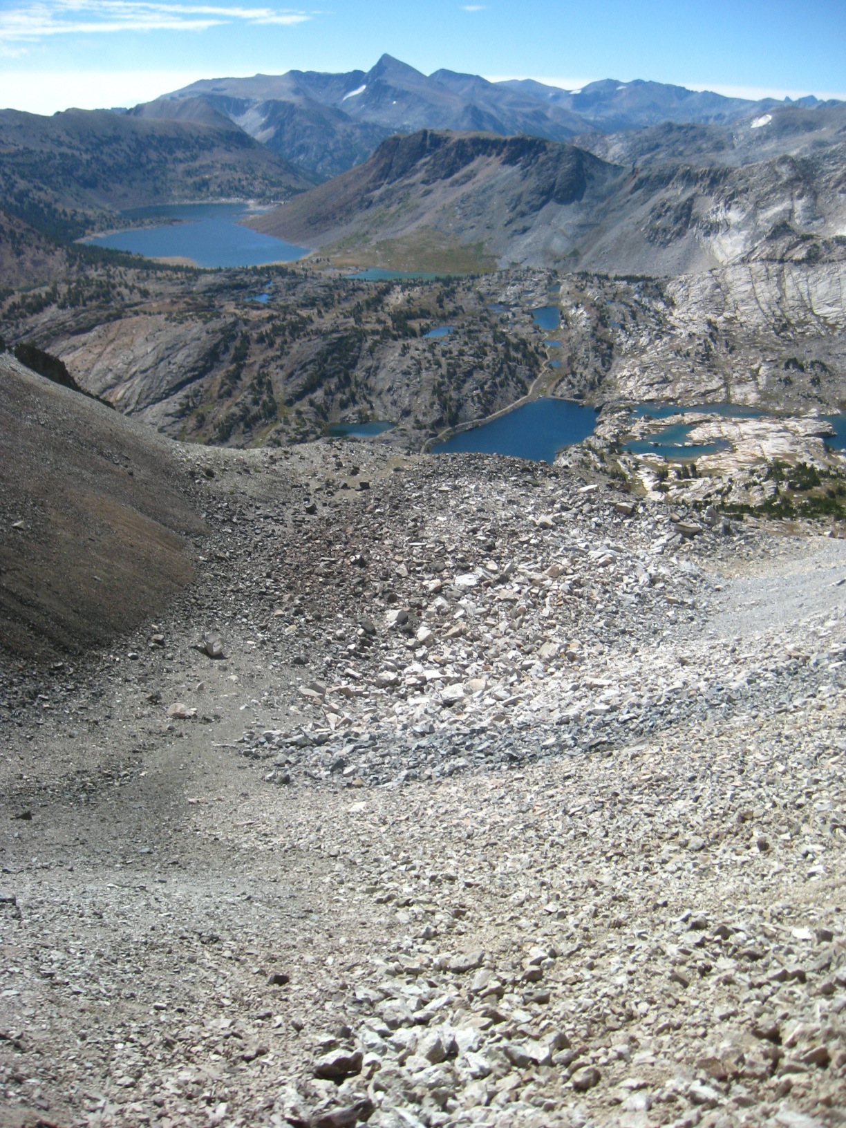
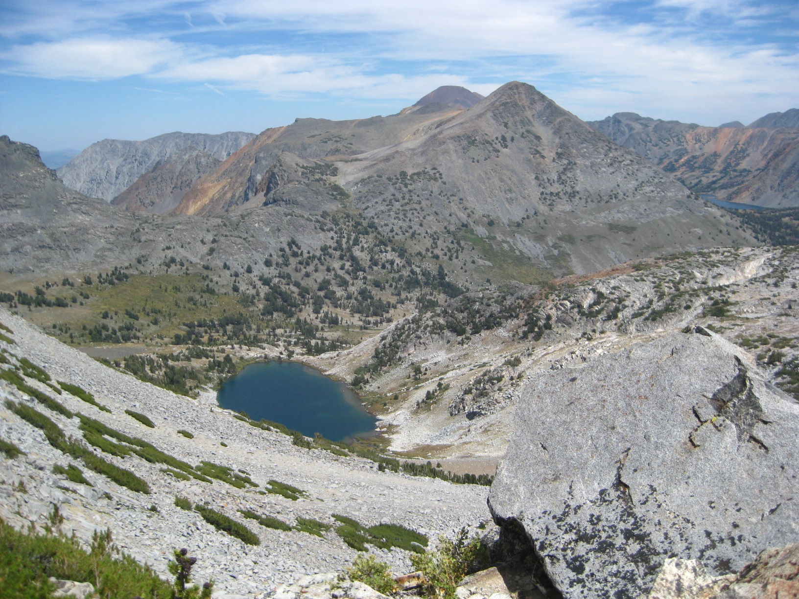
- Goat Mountain
-
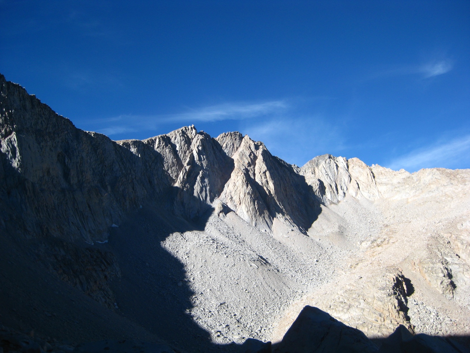
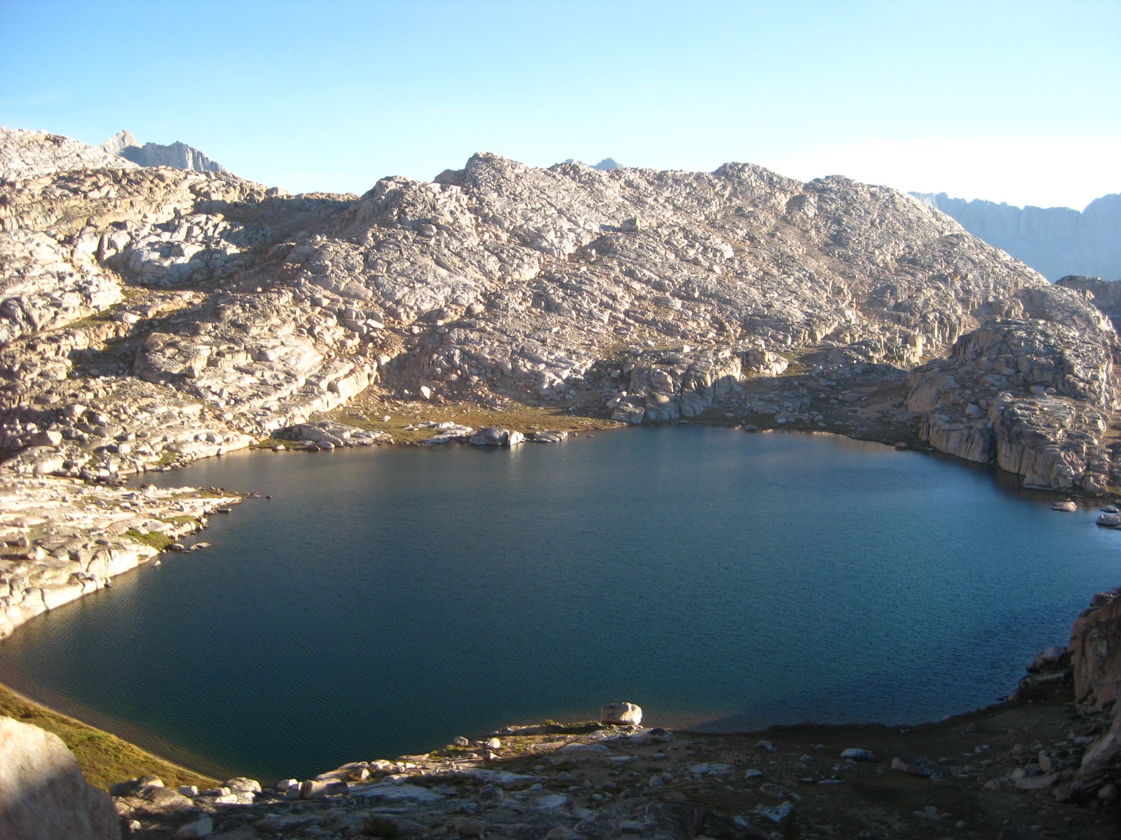
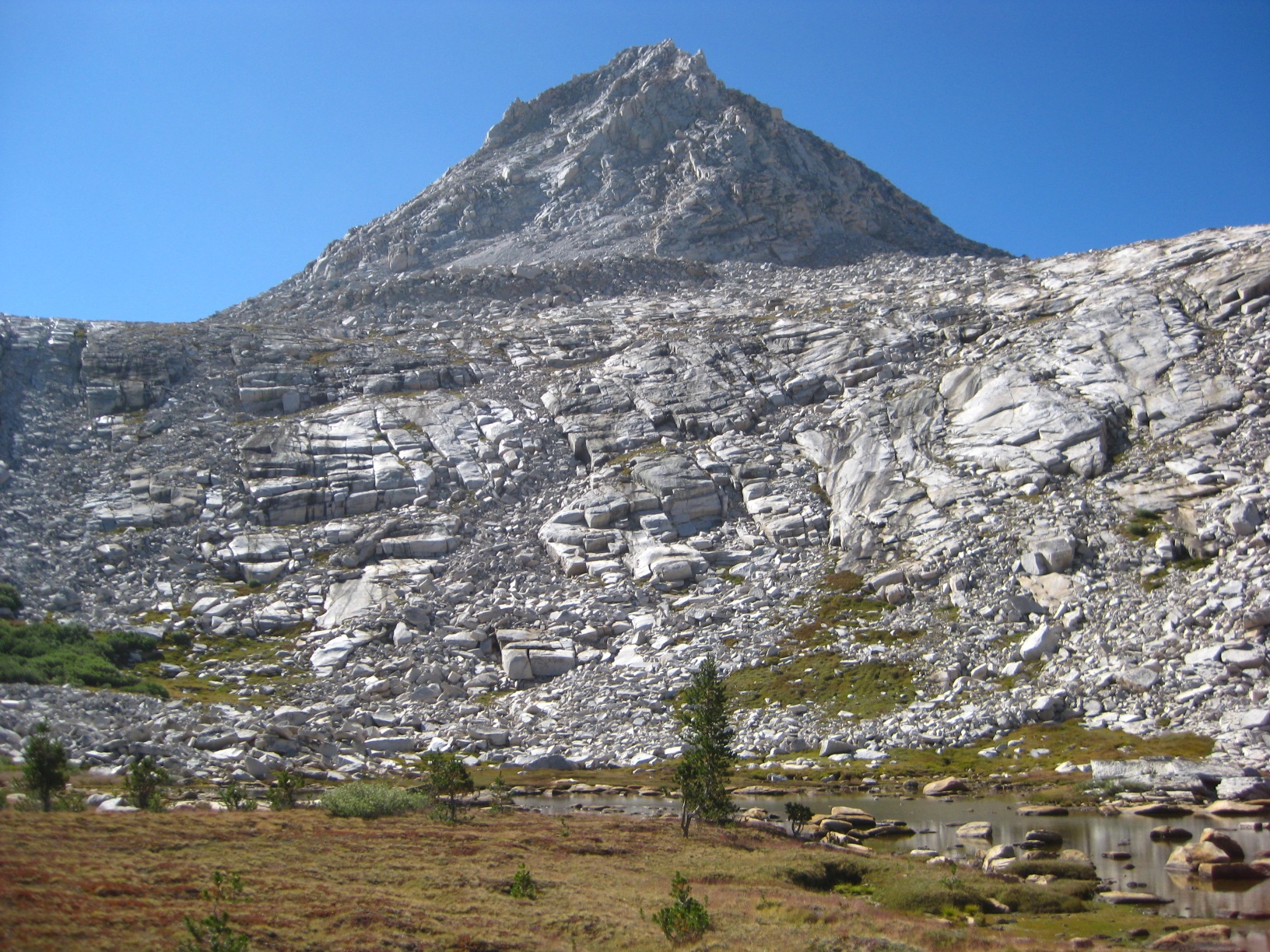
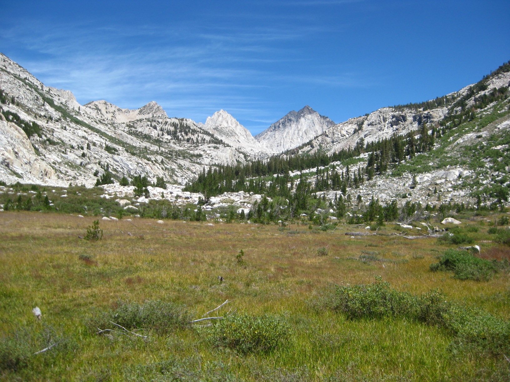
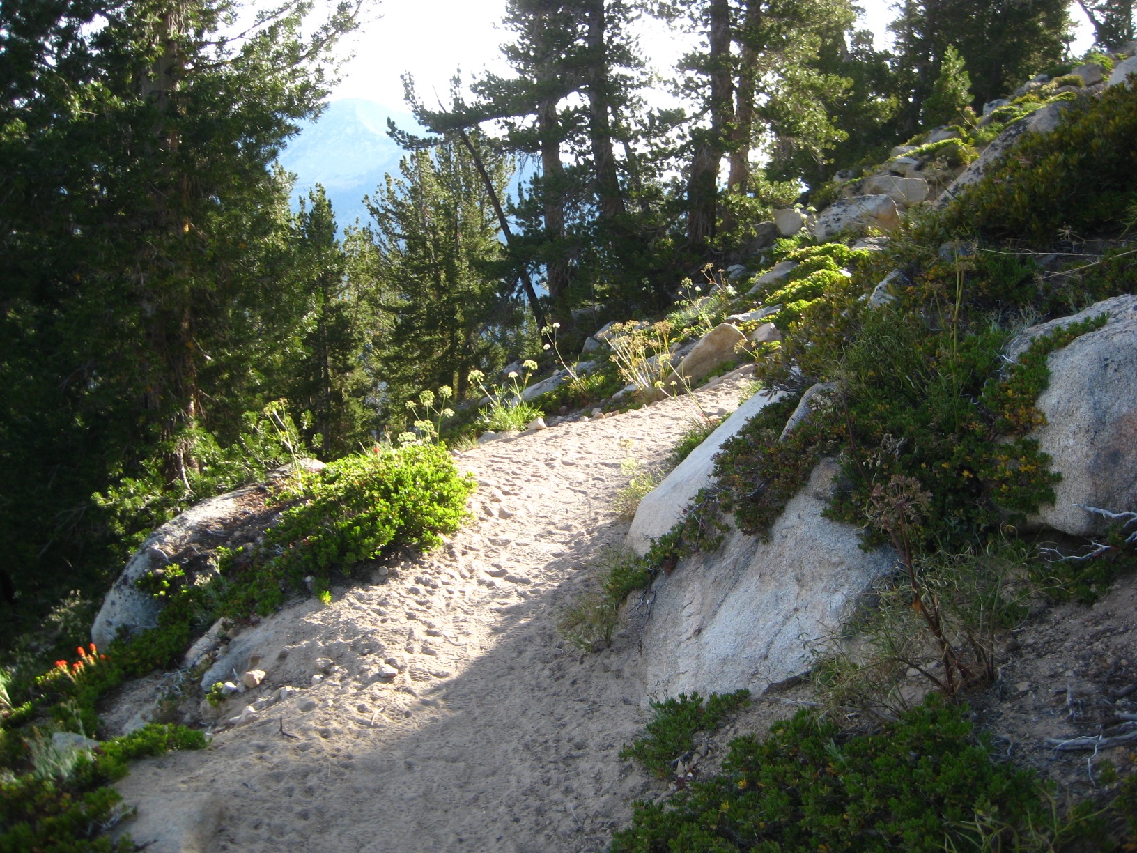
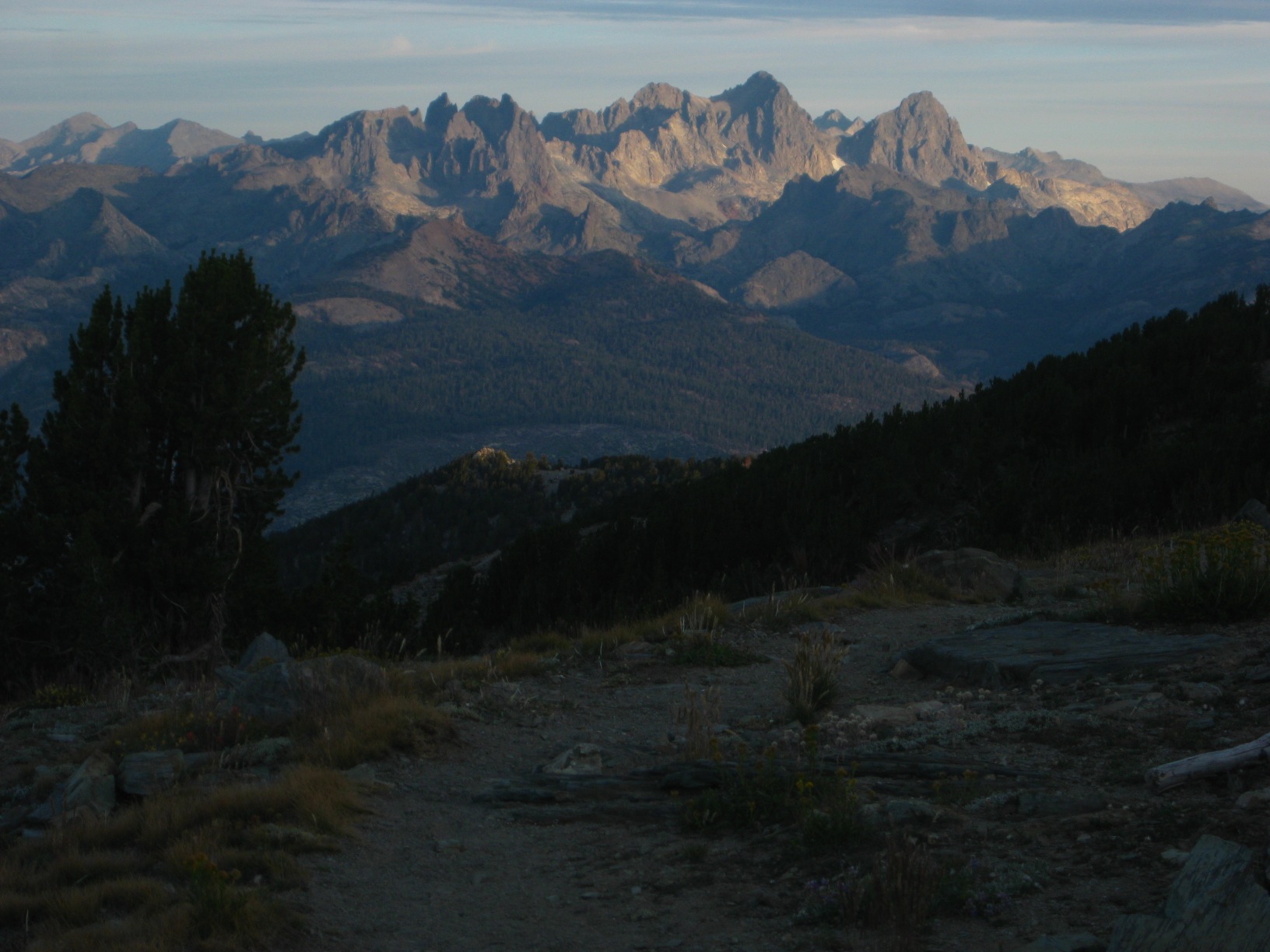
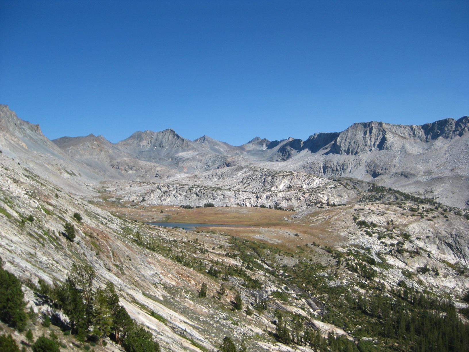
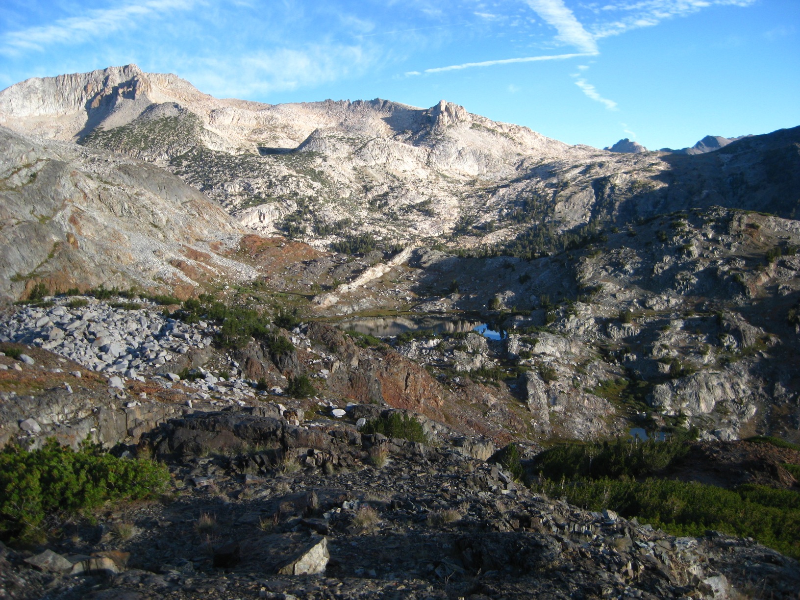
- Munger Peak
-
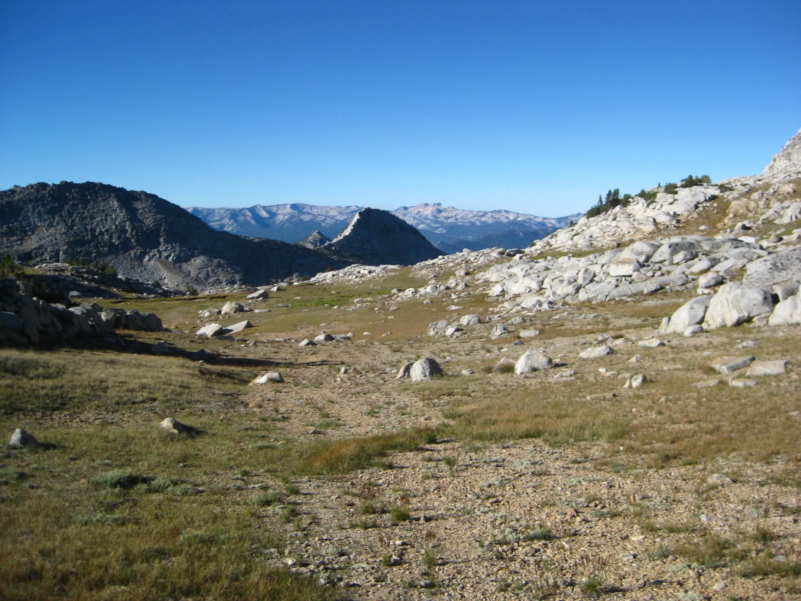
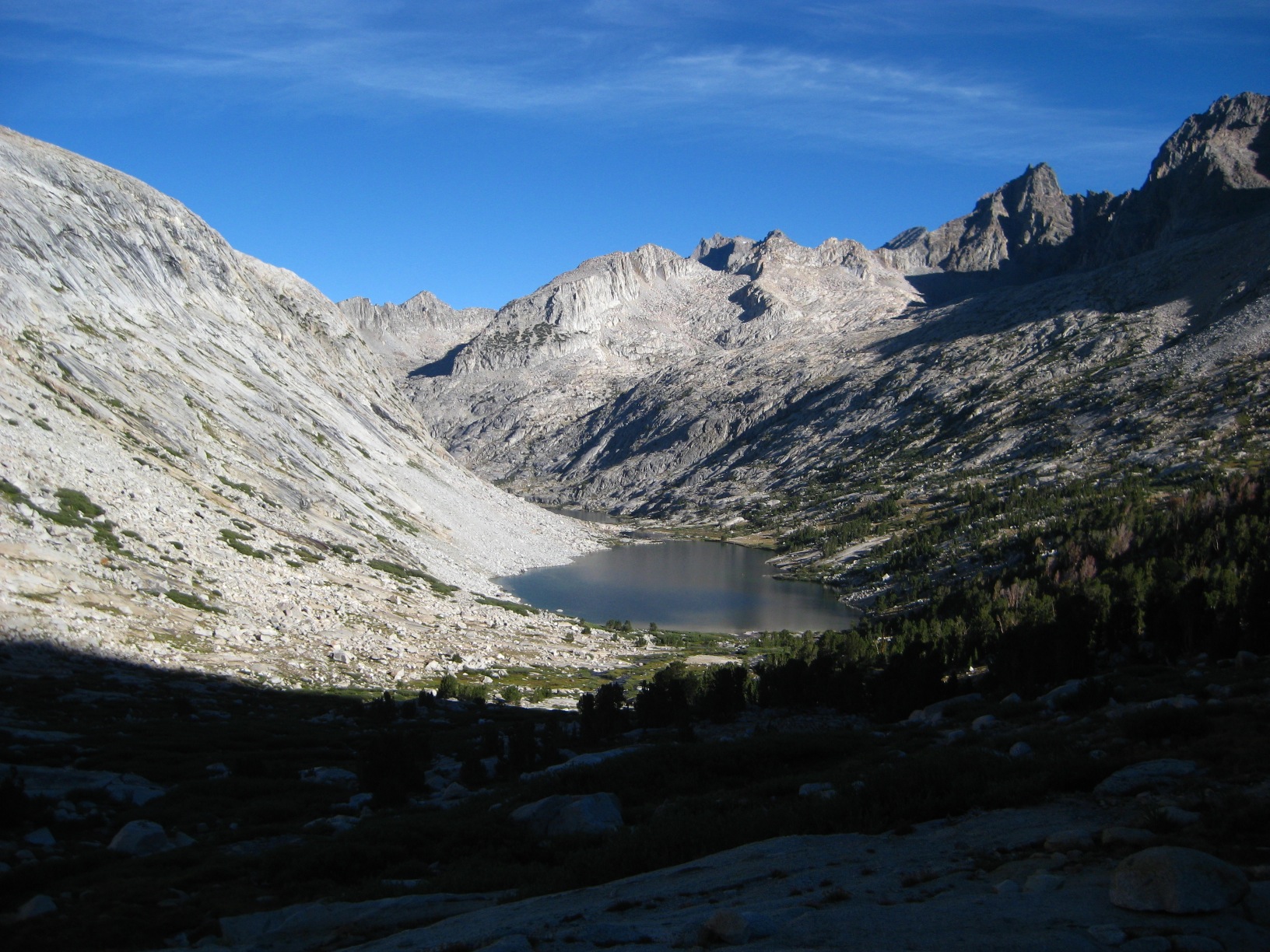
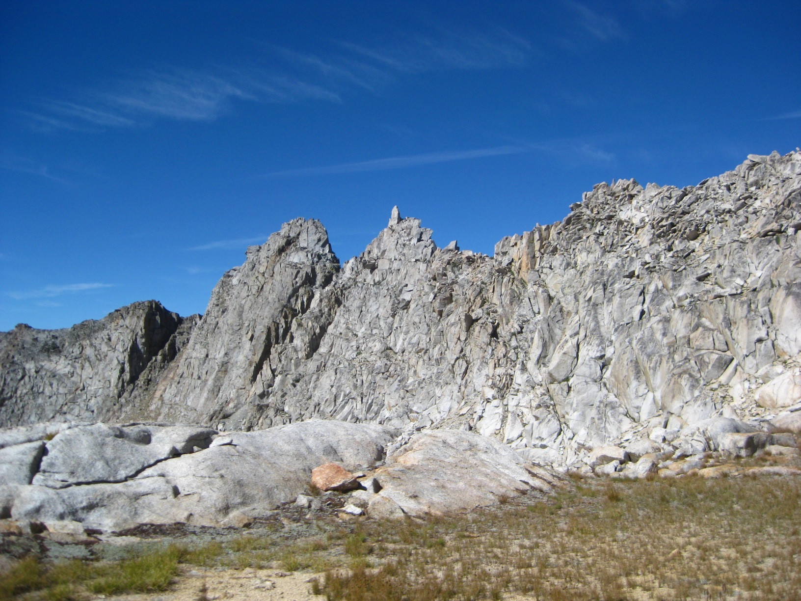
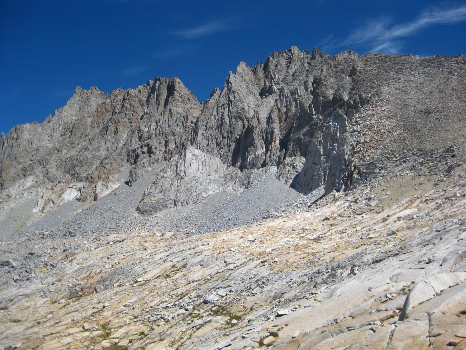
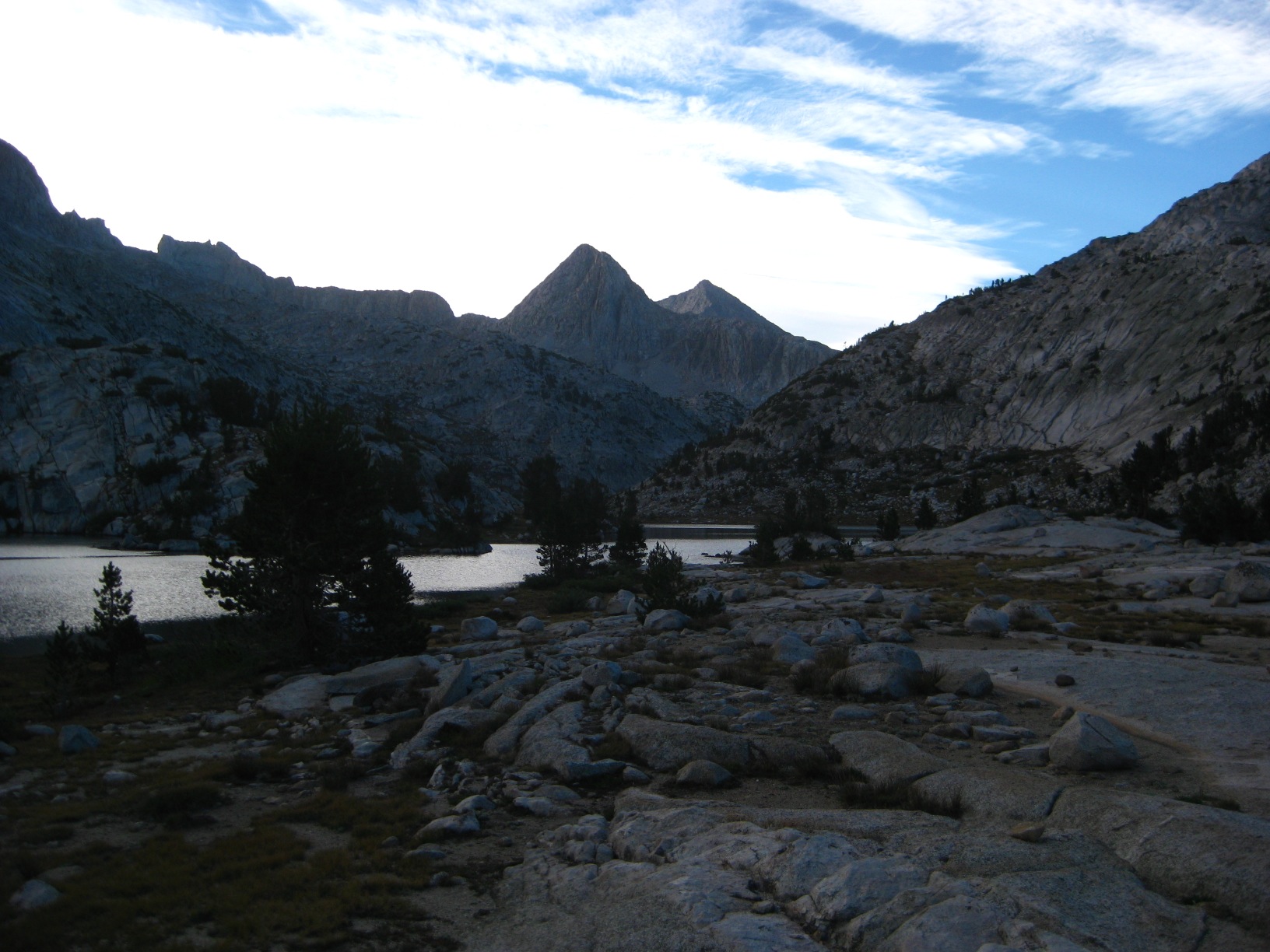
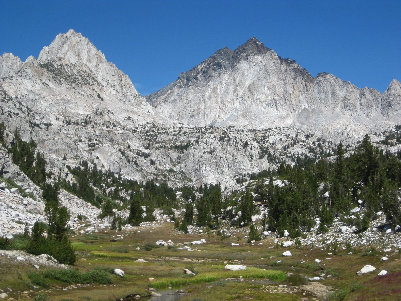
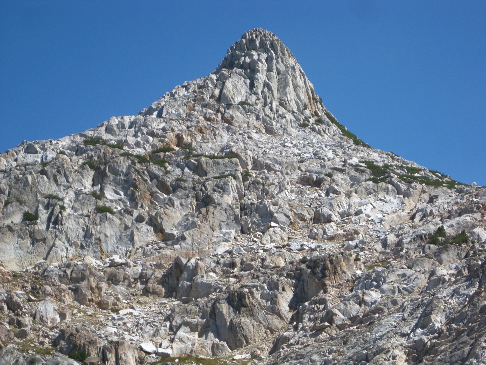
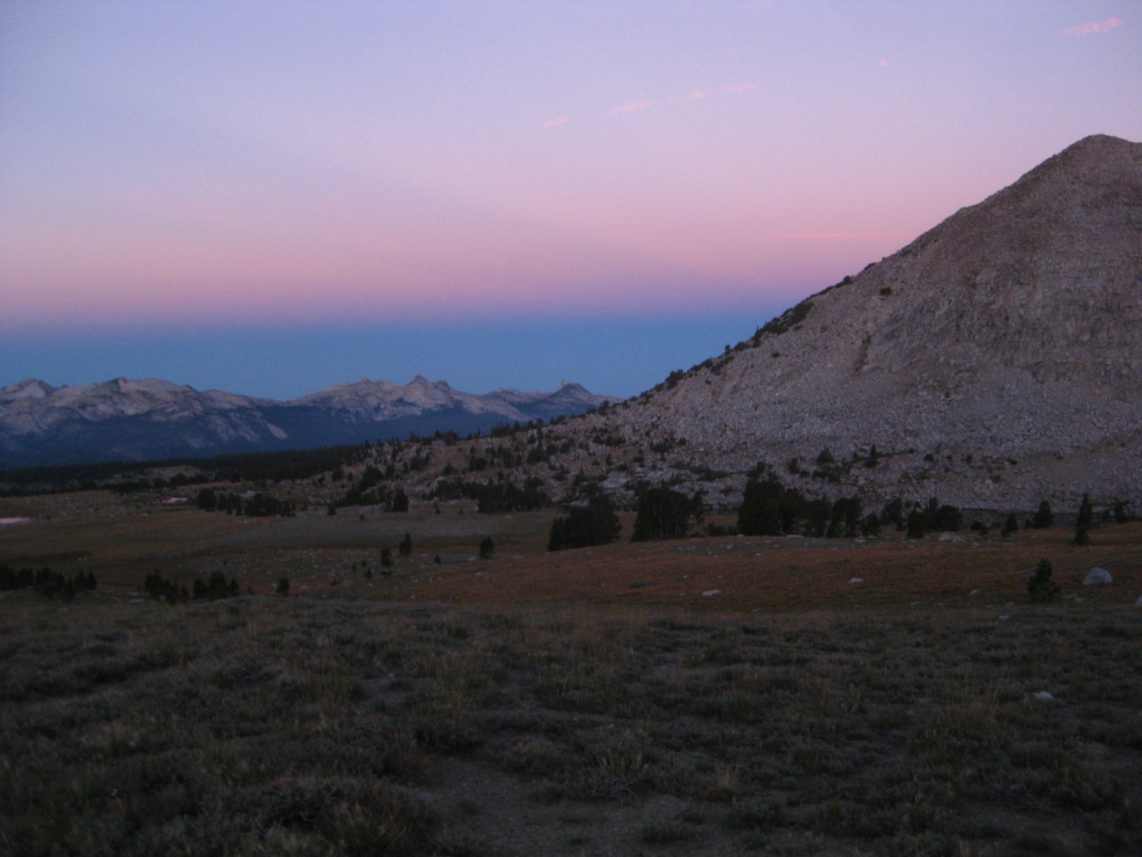
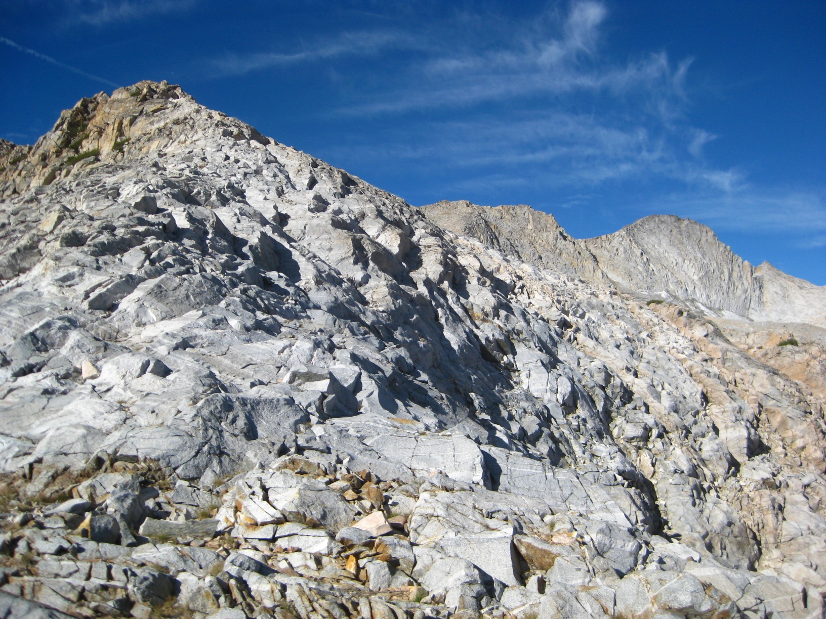
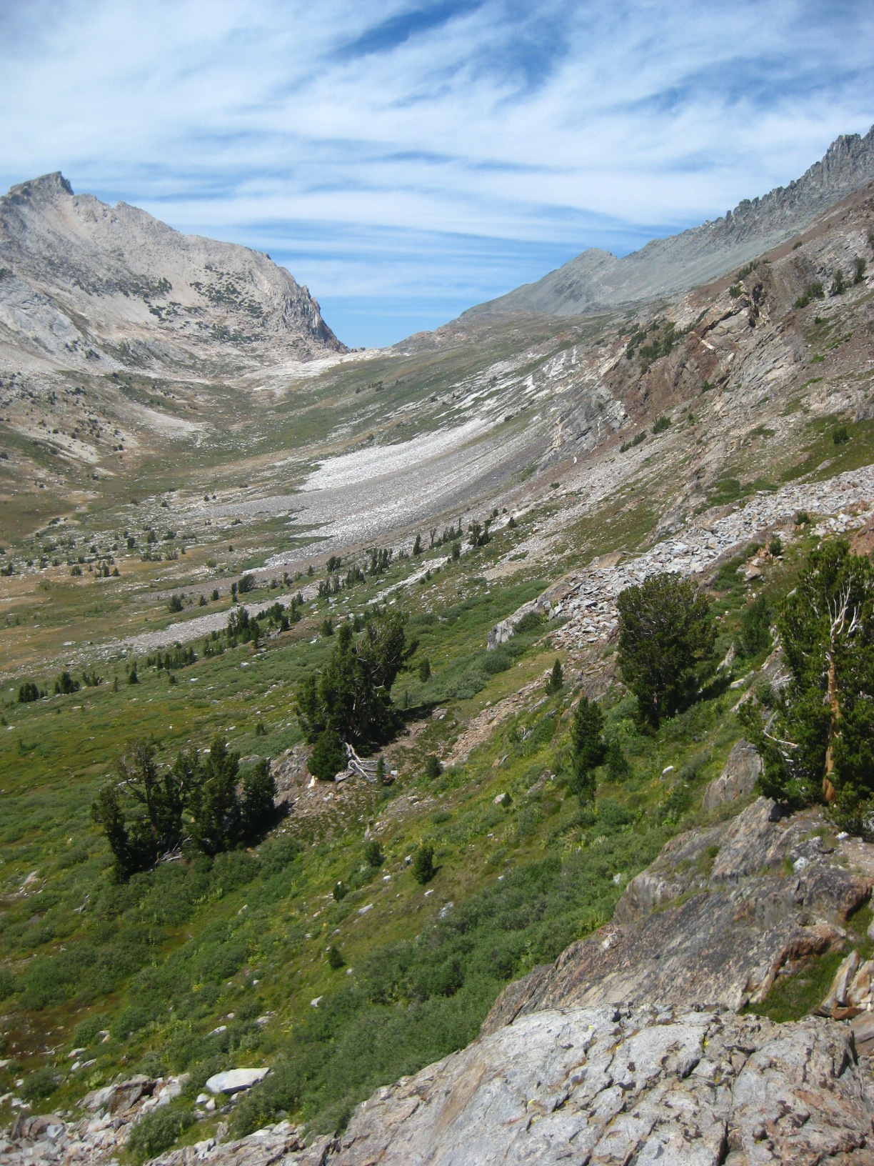
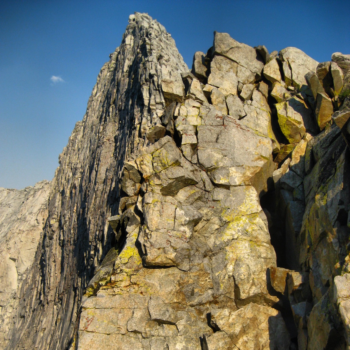
- Goat Crest
-
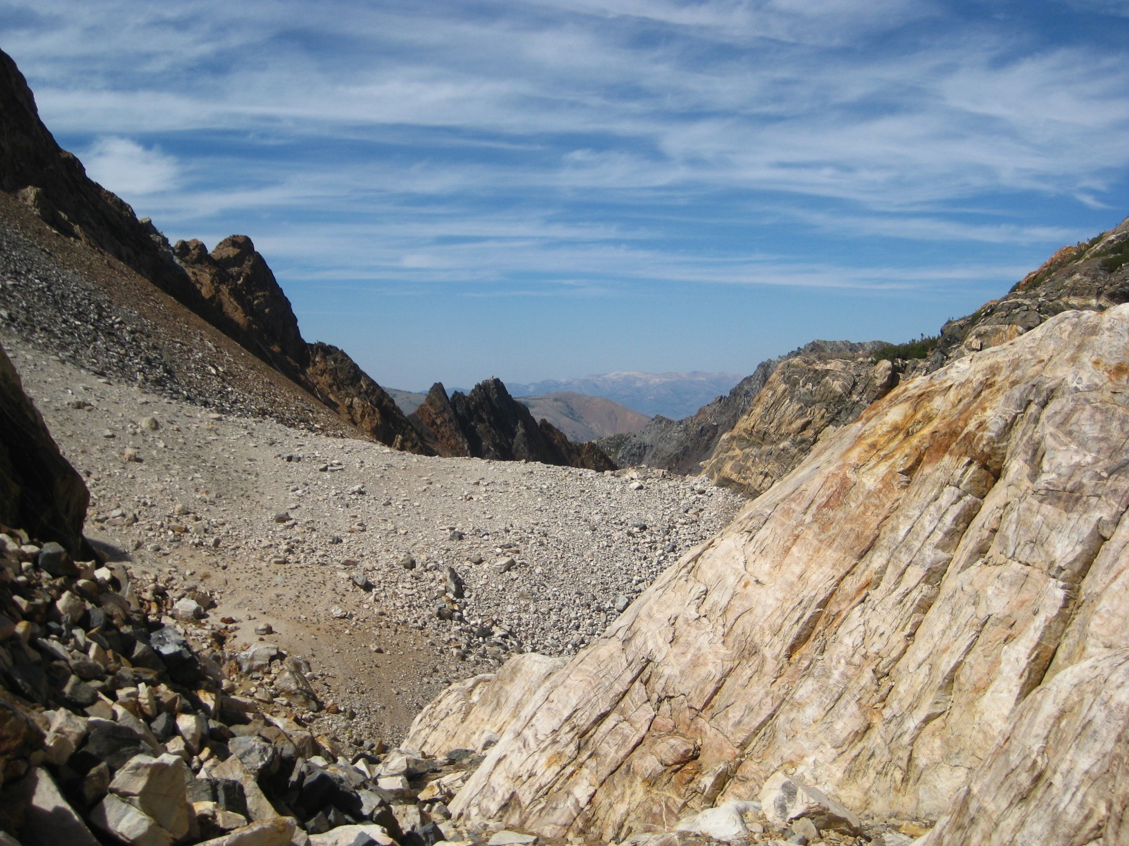
- Goat Crest Saddle
-
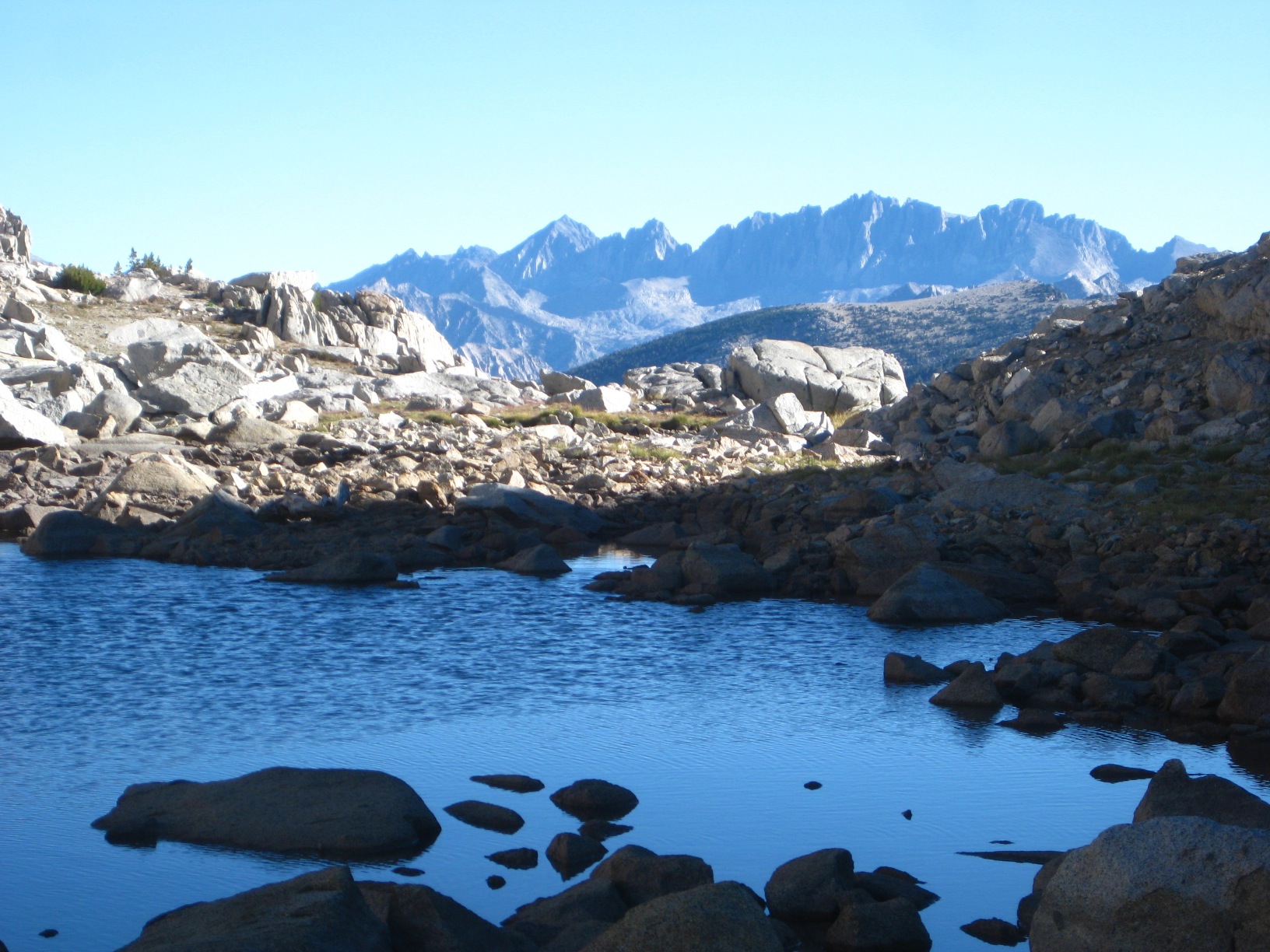
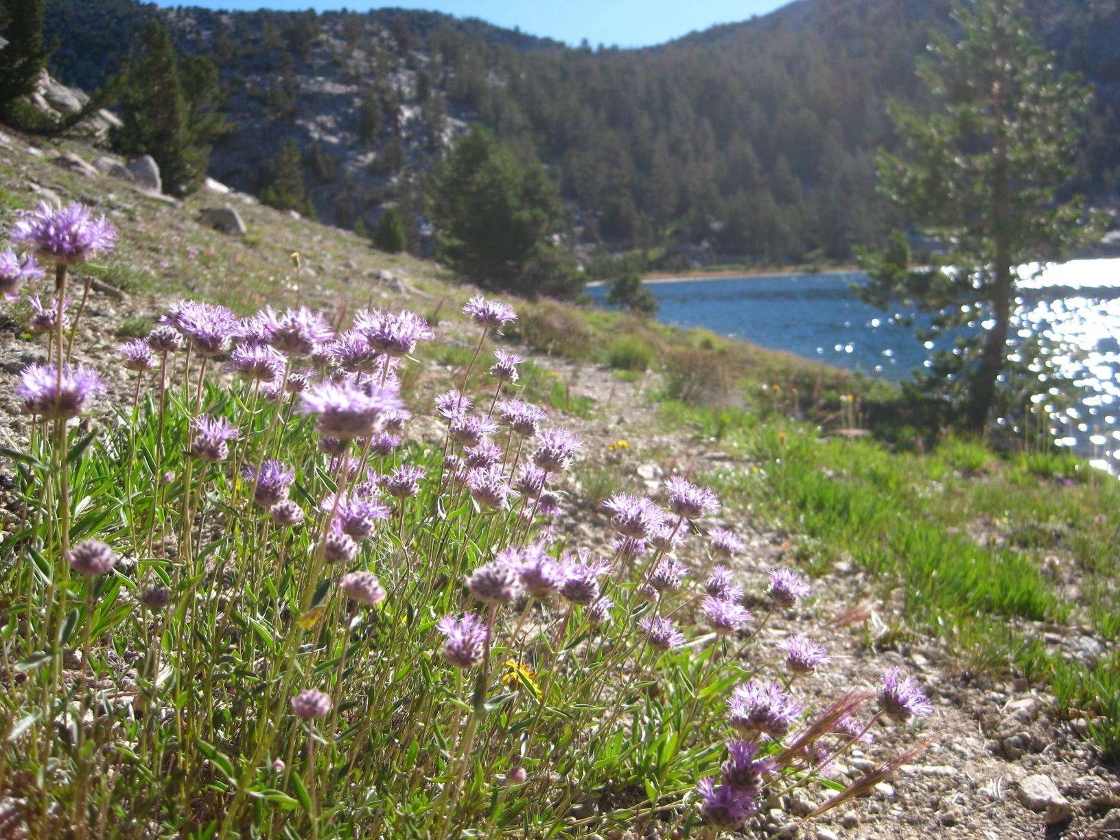
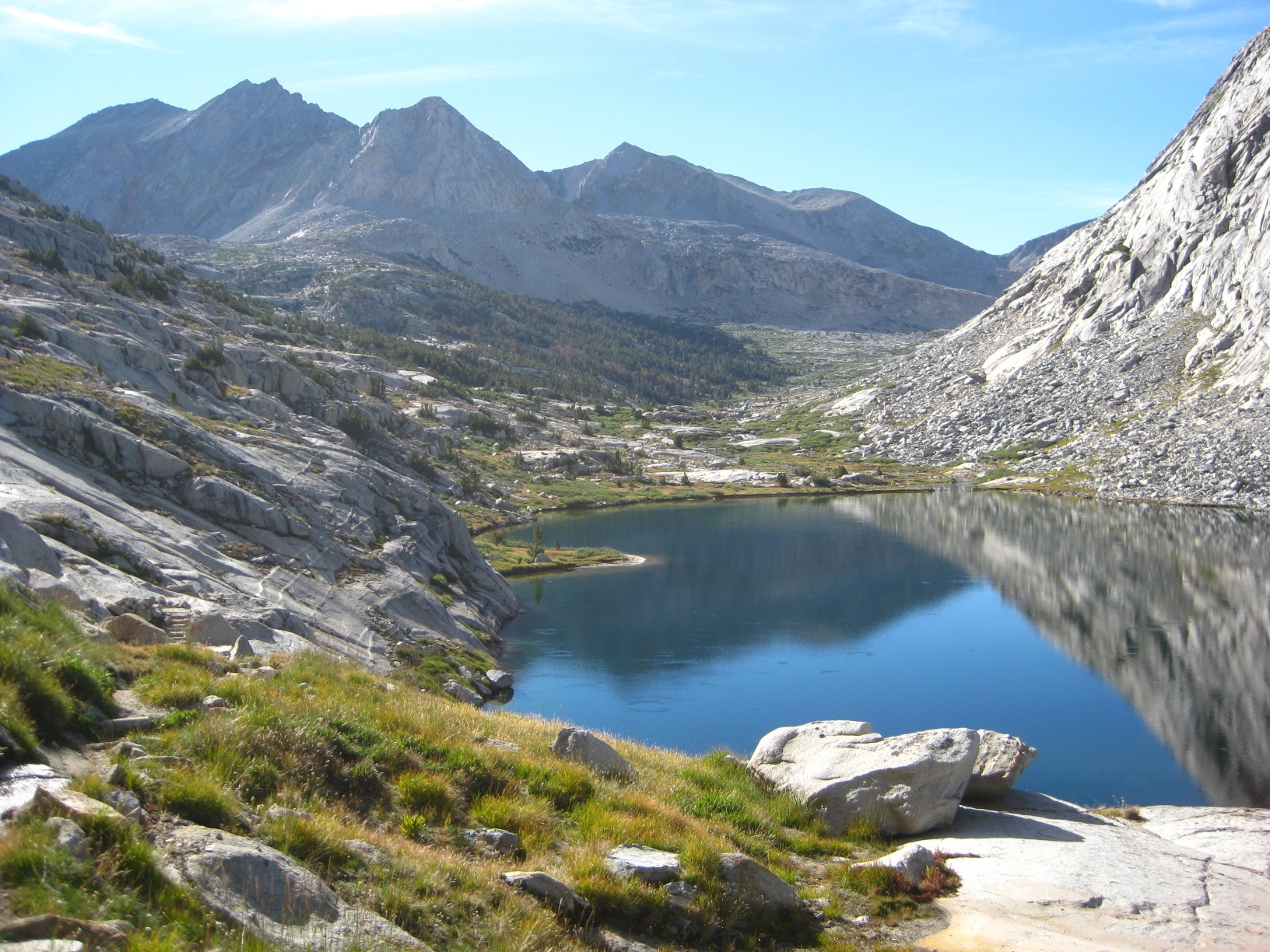
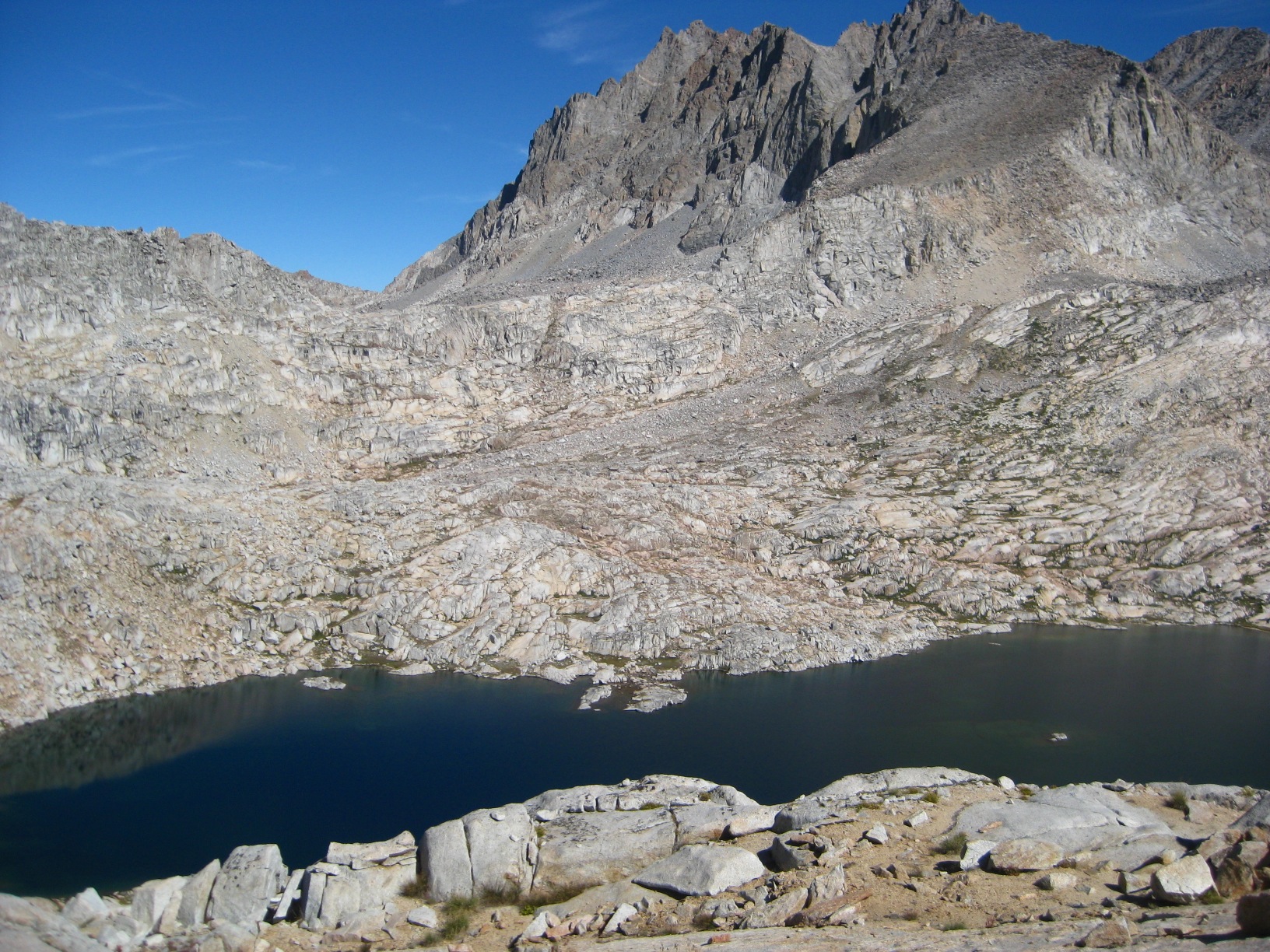
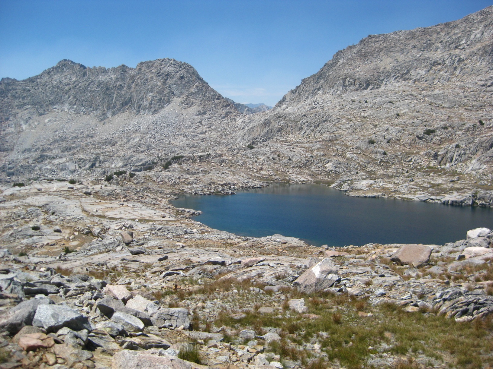
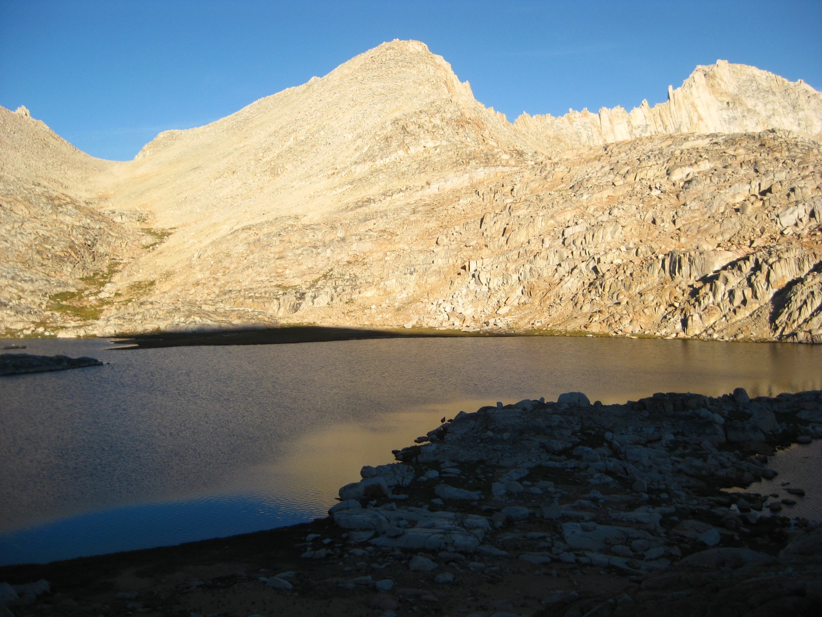
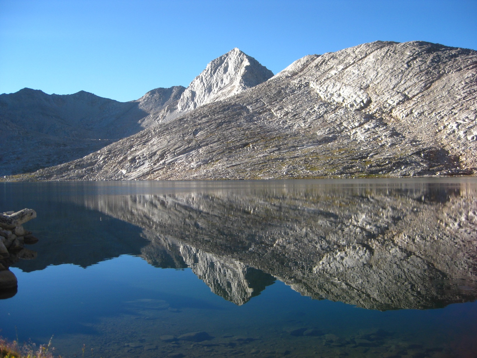
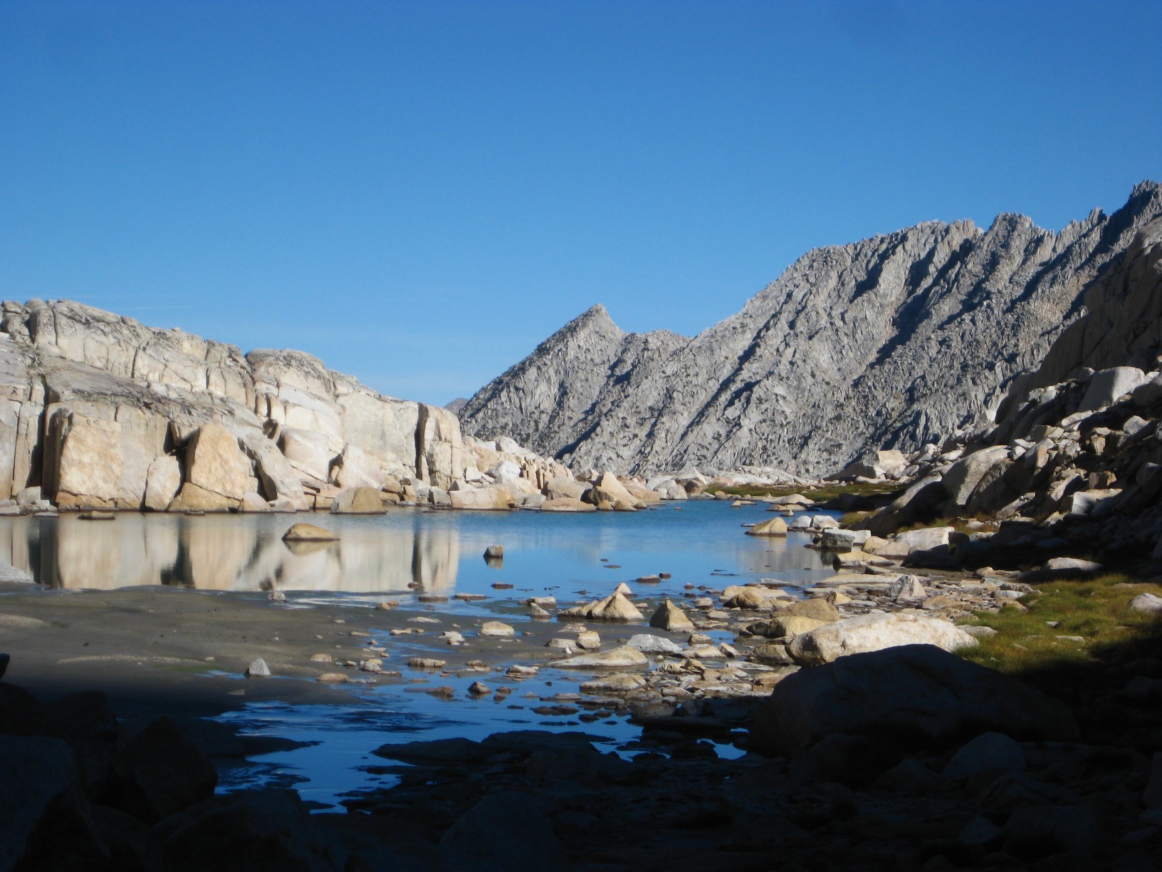
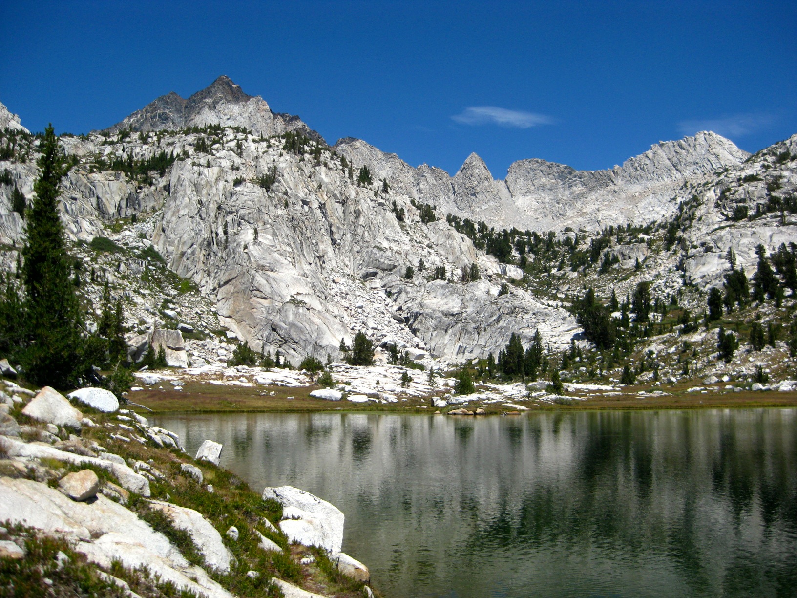
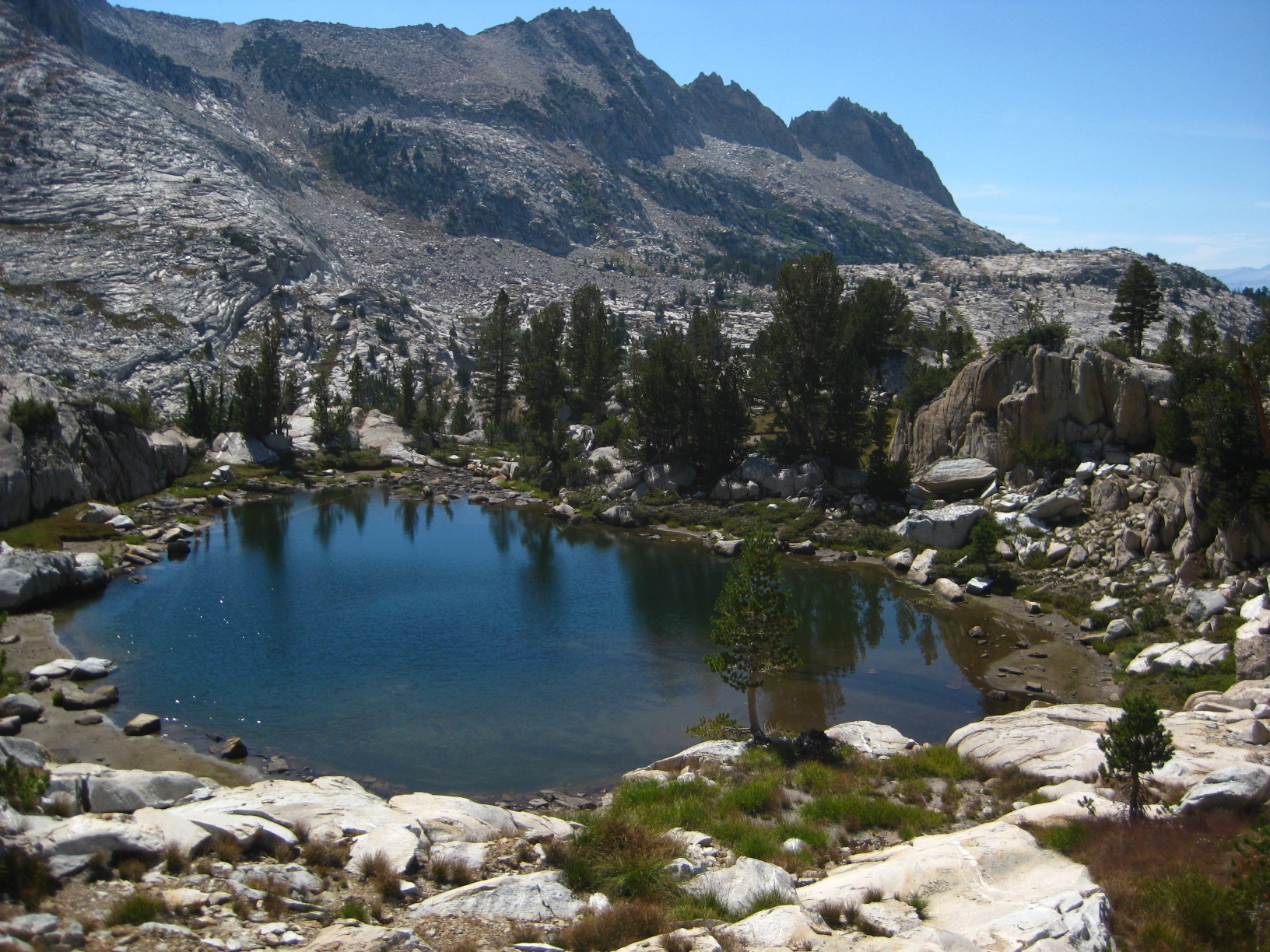
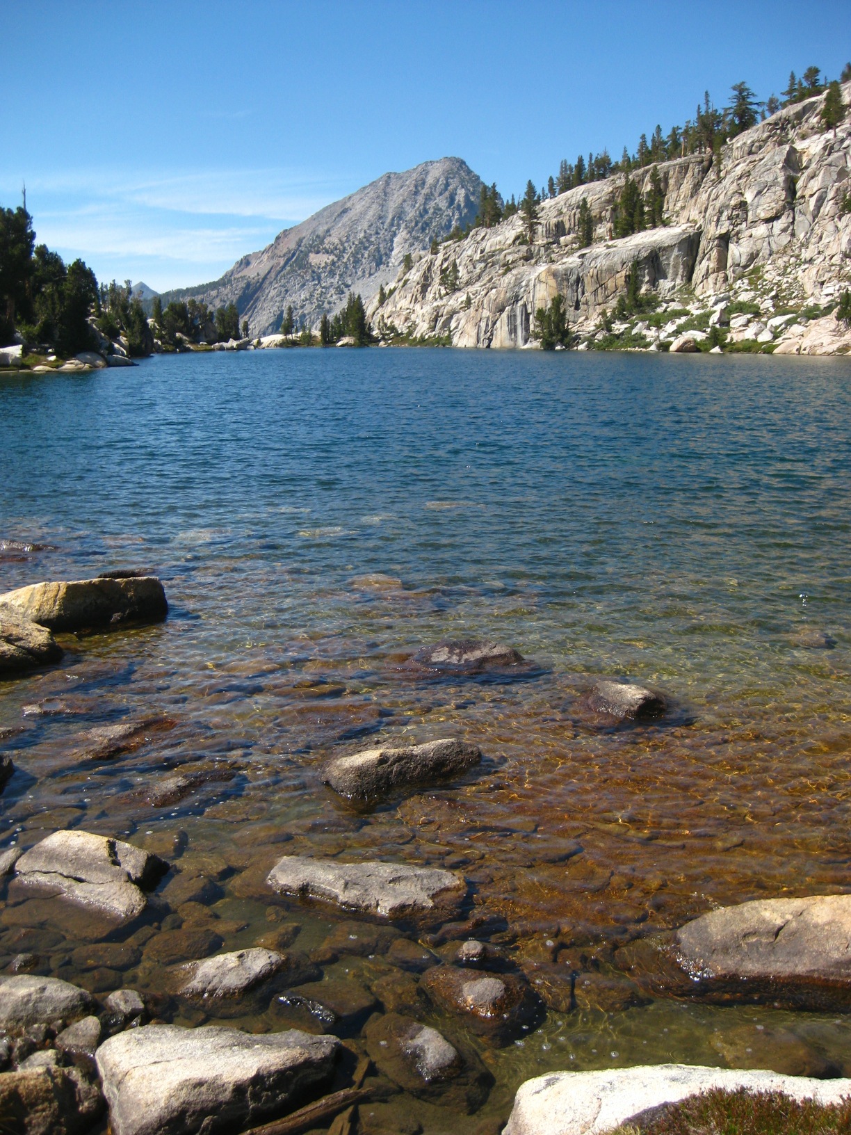
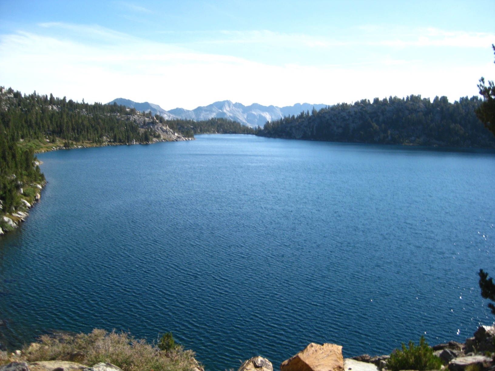
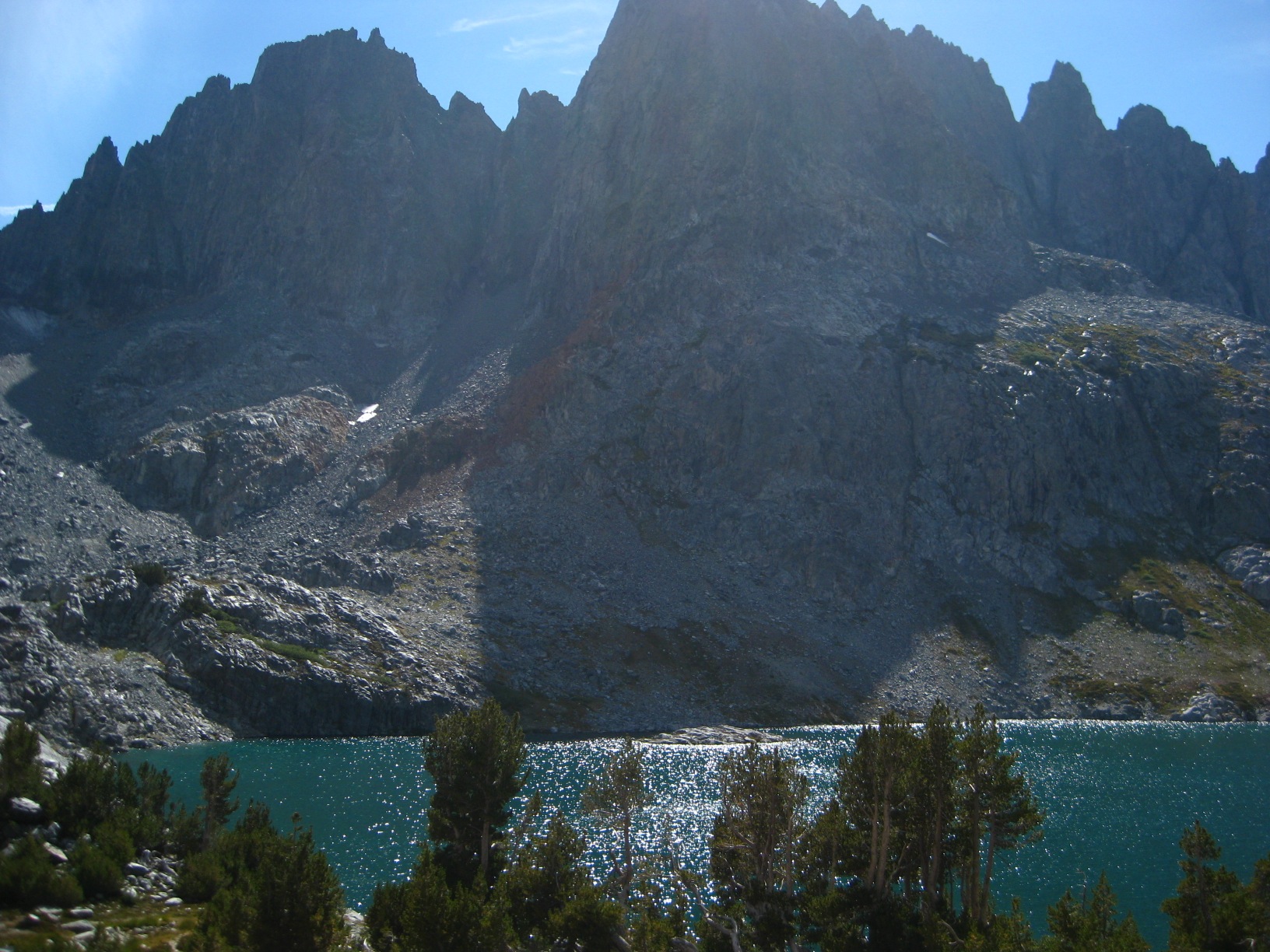
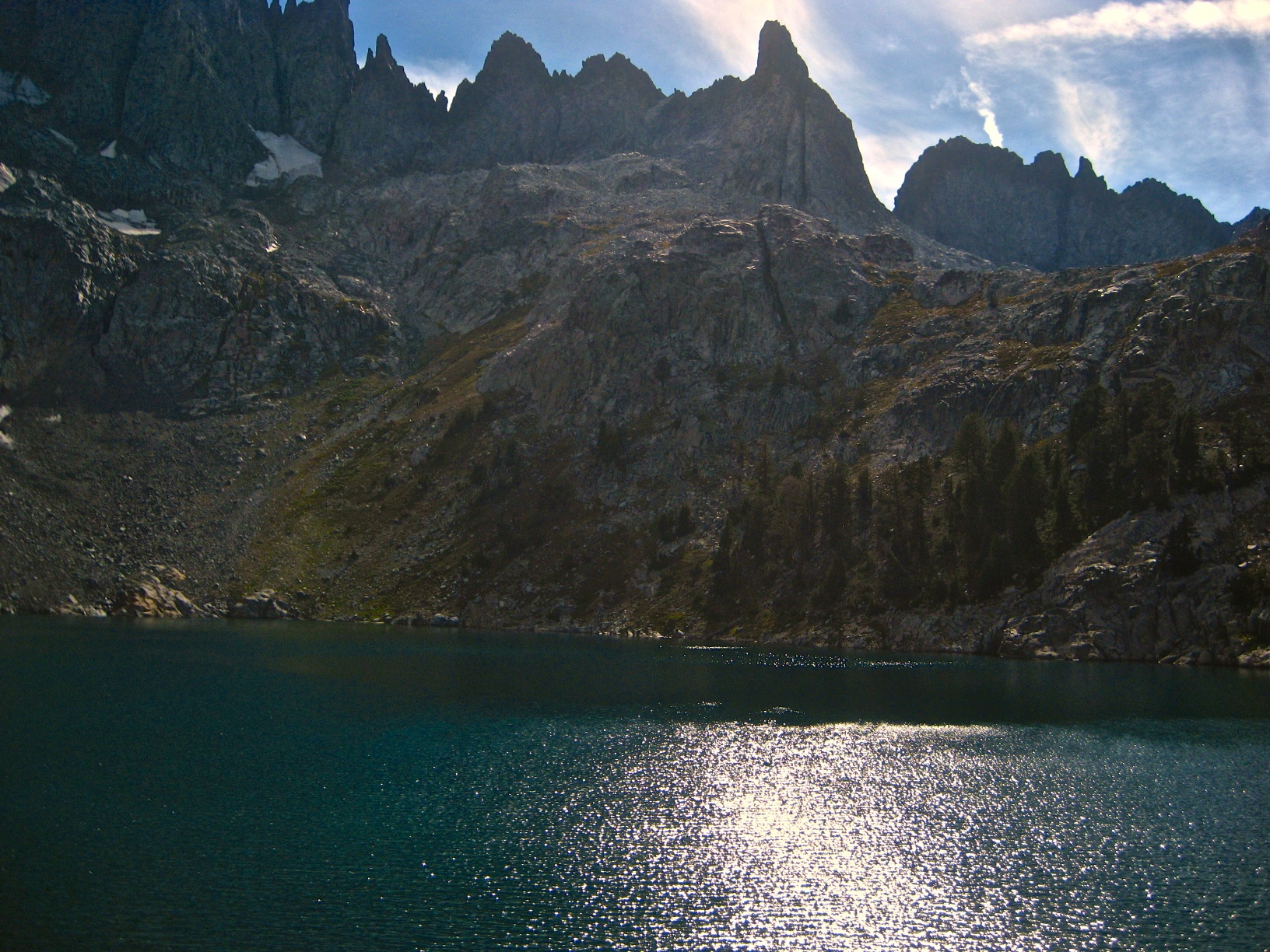
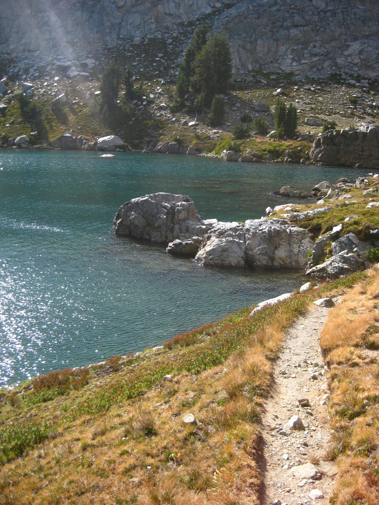
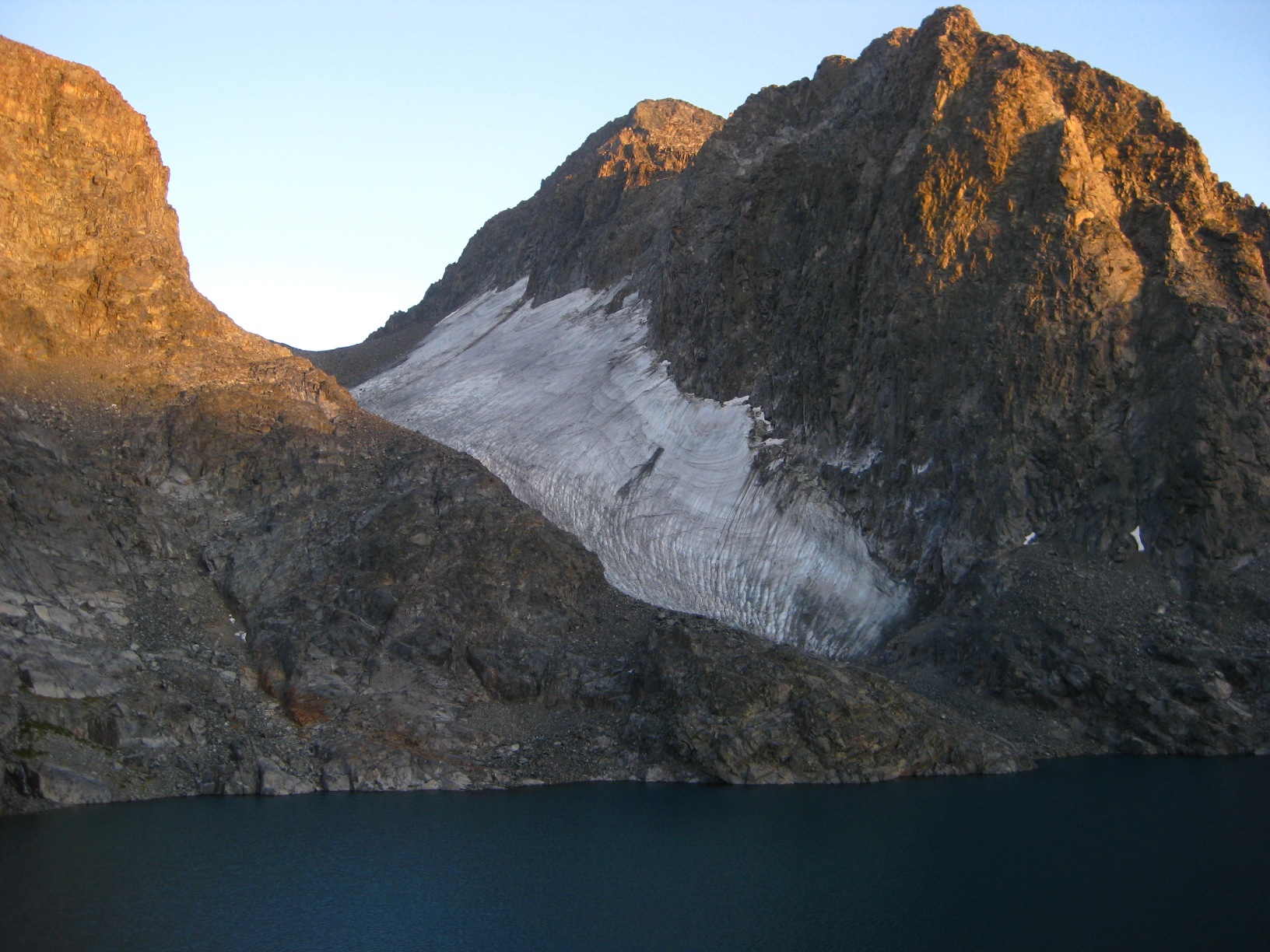
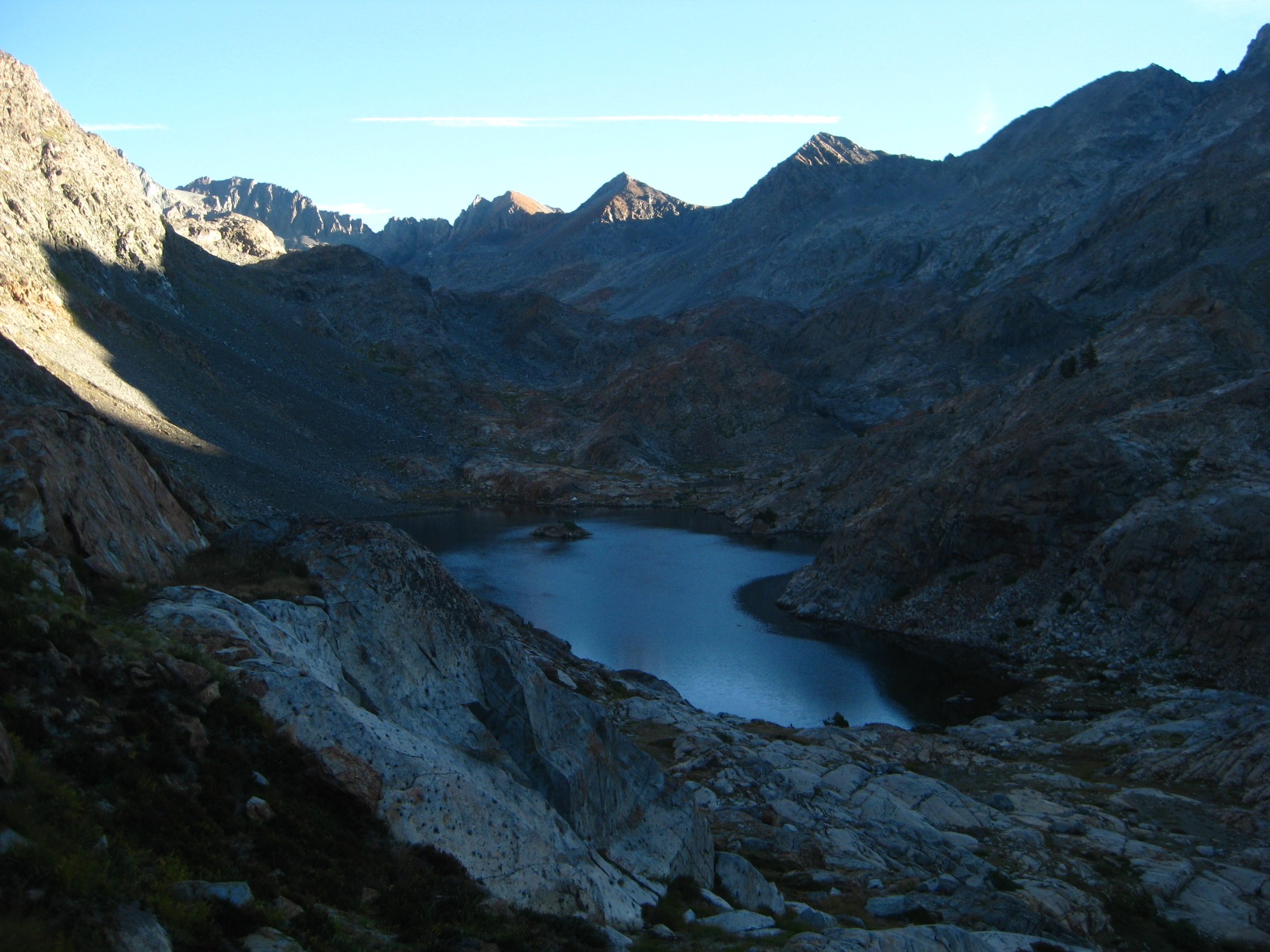
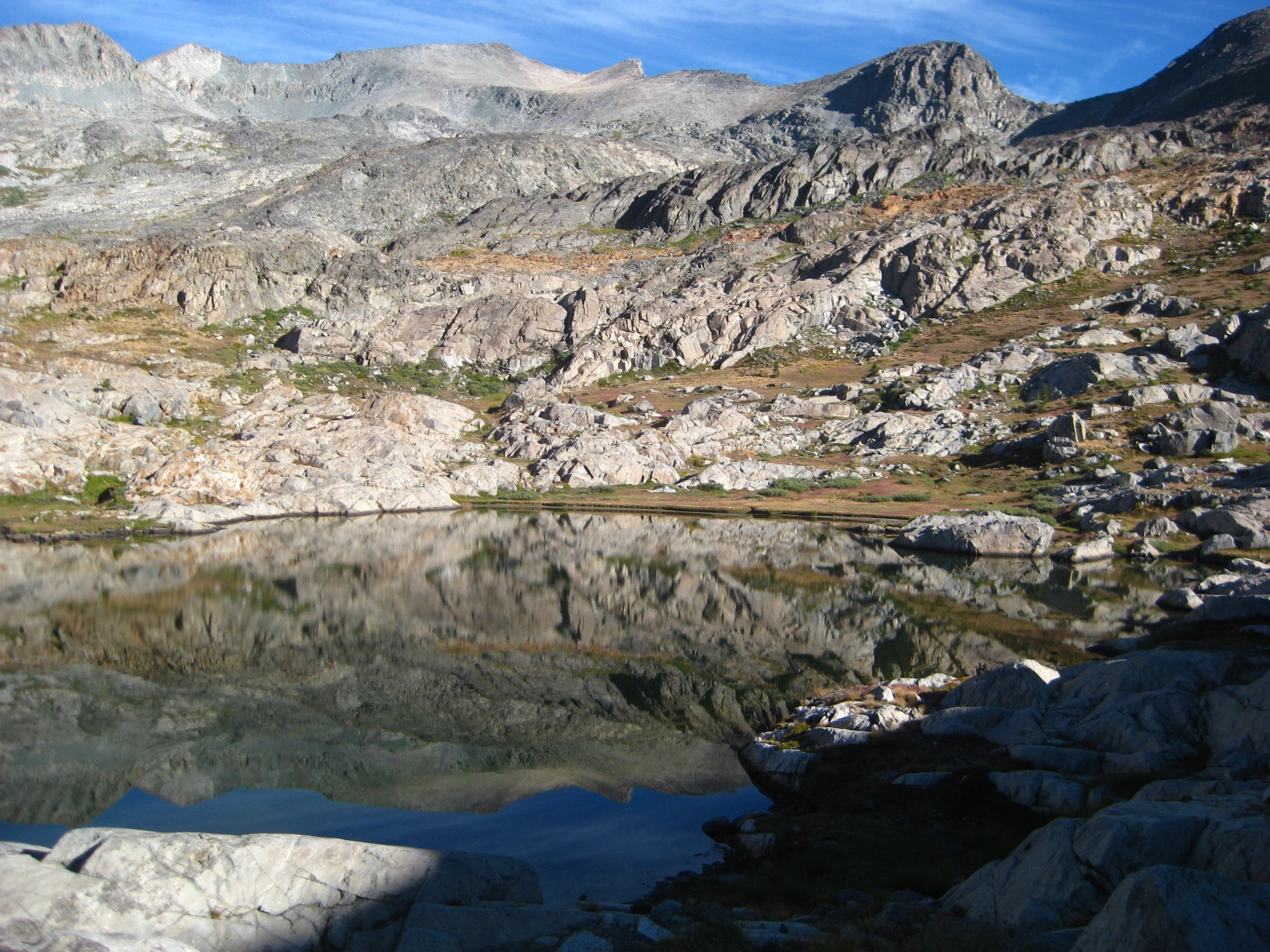
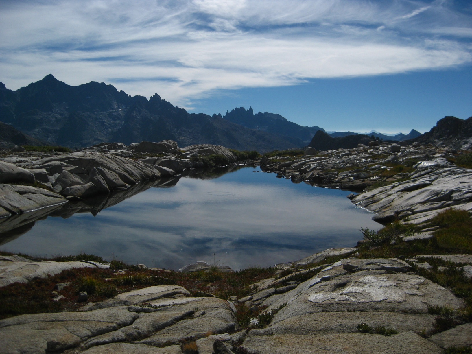
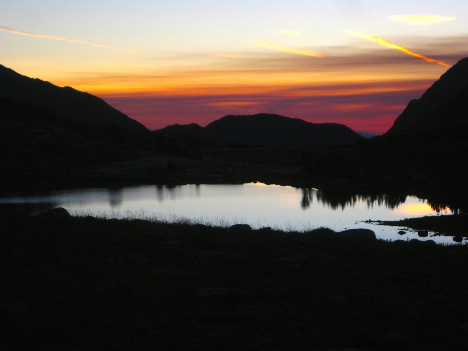
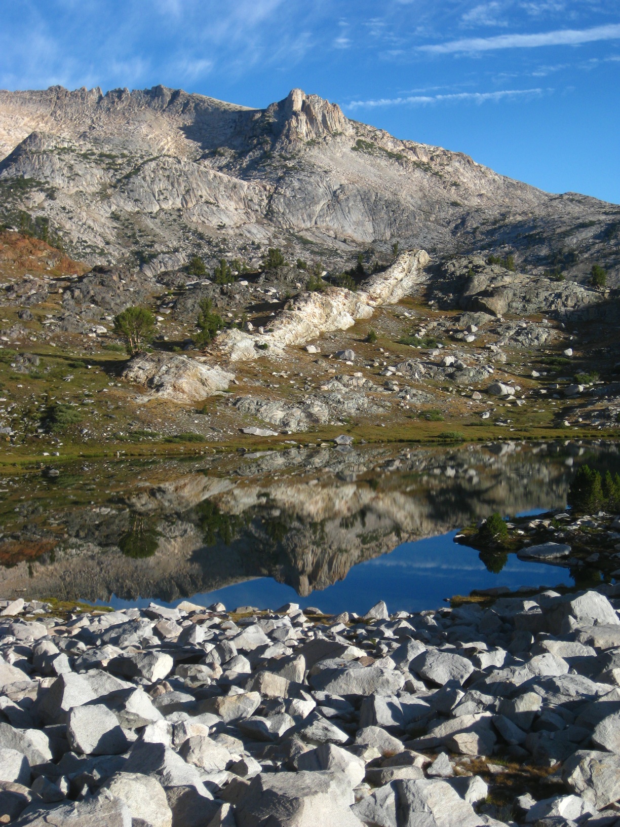
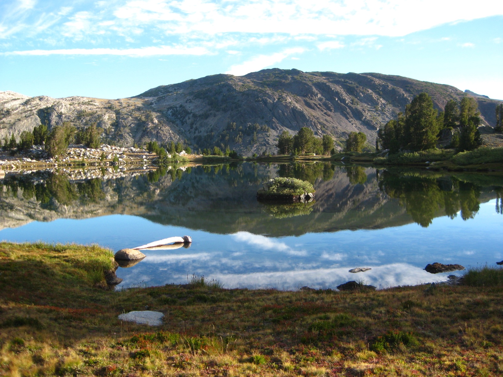
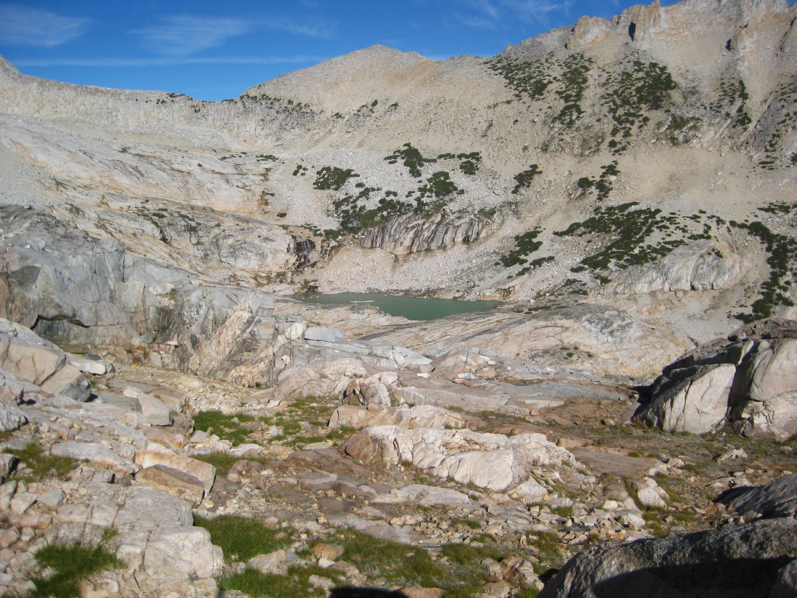
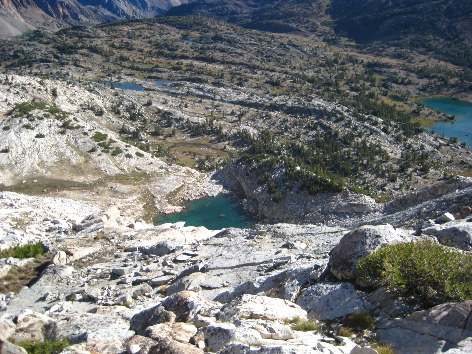
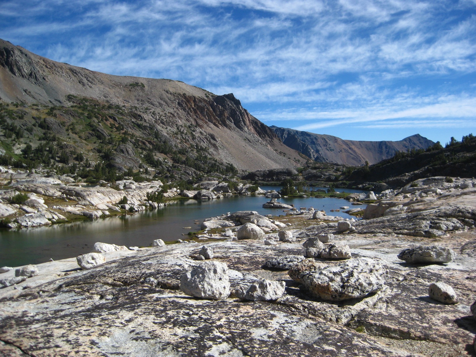
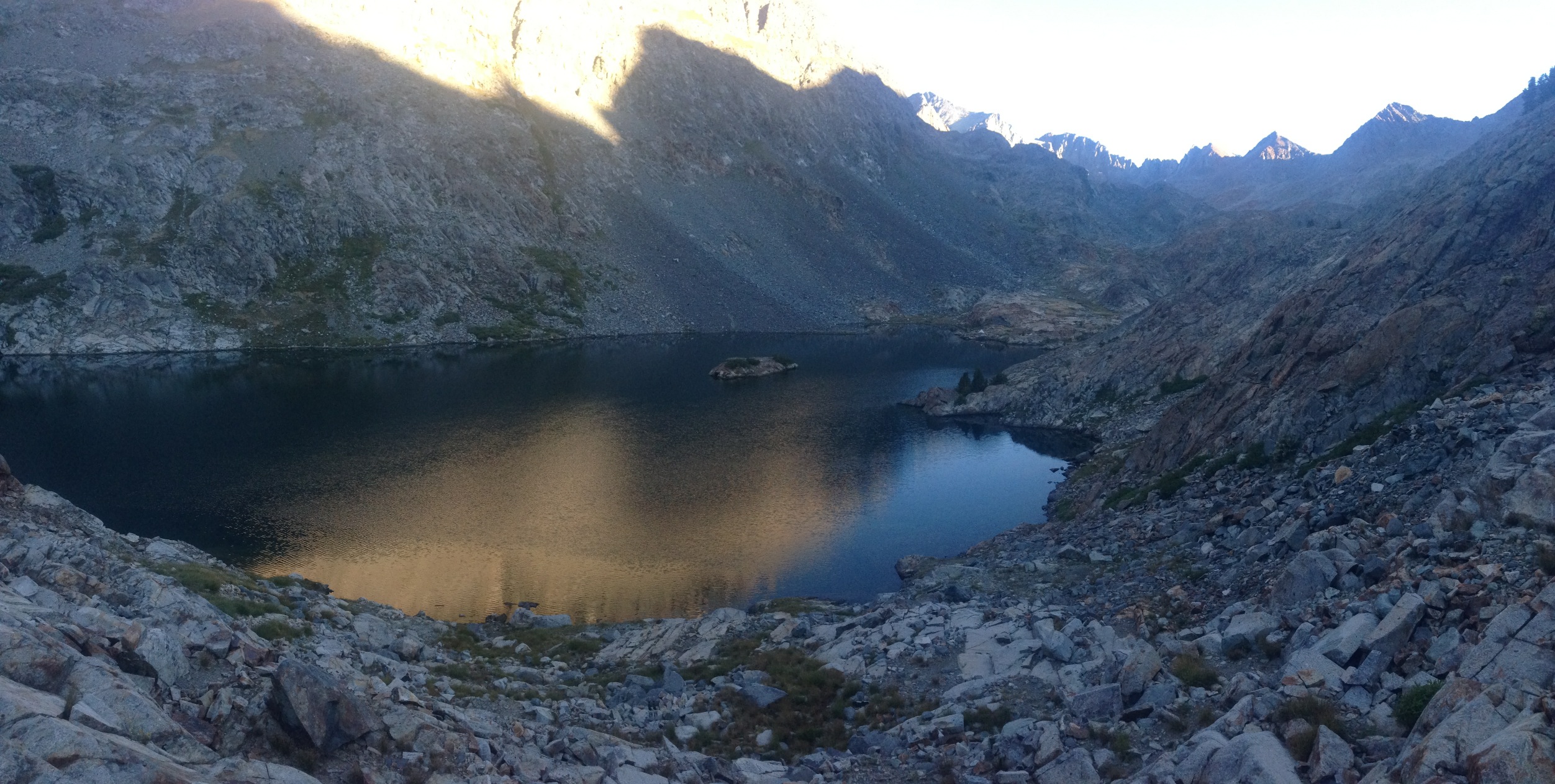
- Lake 10,666 (Glacier Lakes)
-
- Lake 10,666 (Glacier Lakes)
-
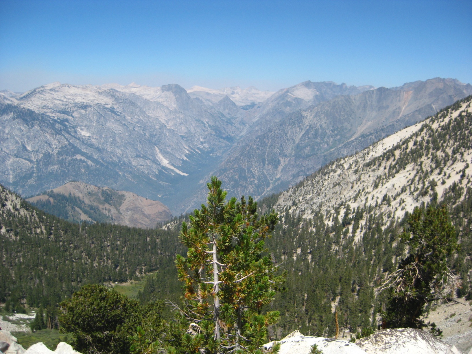
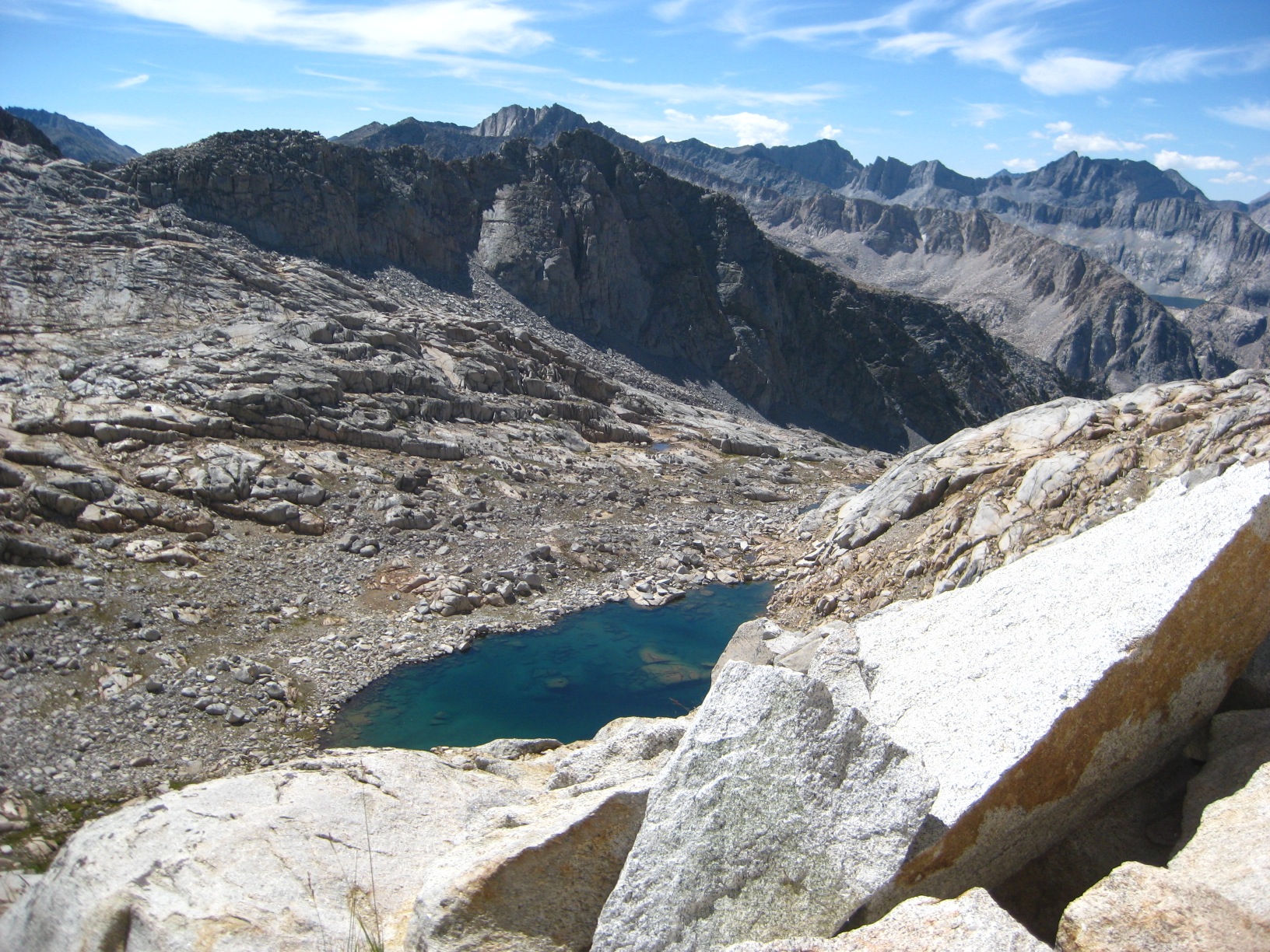
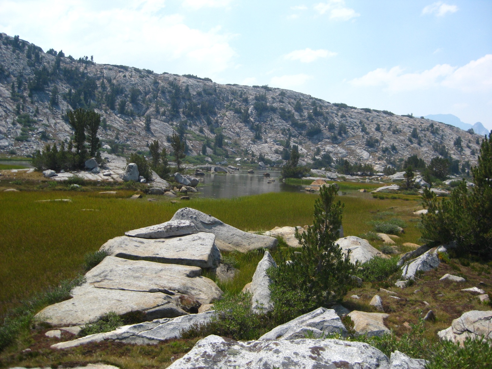
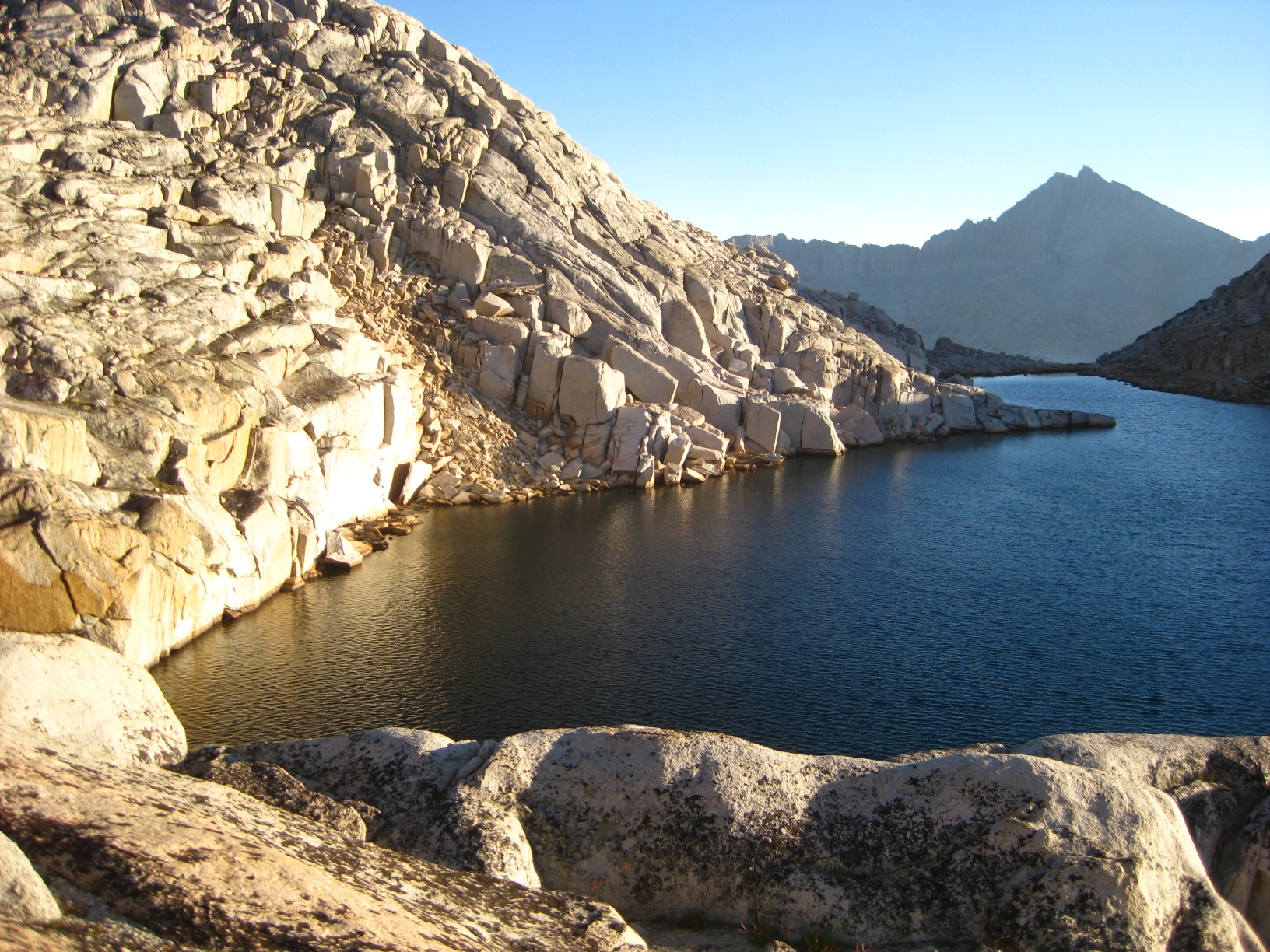
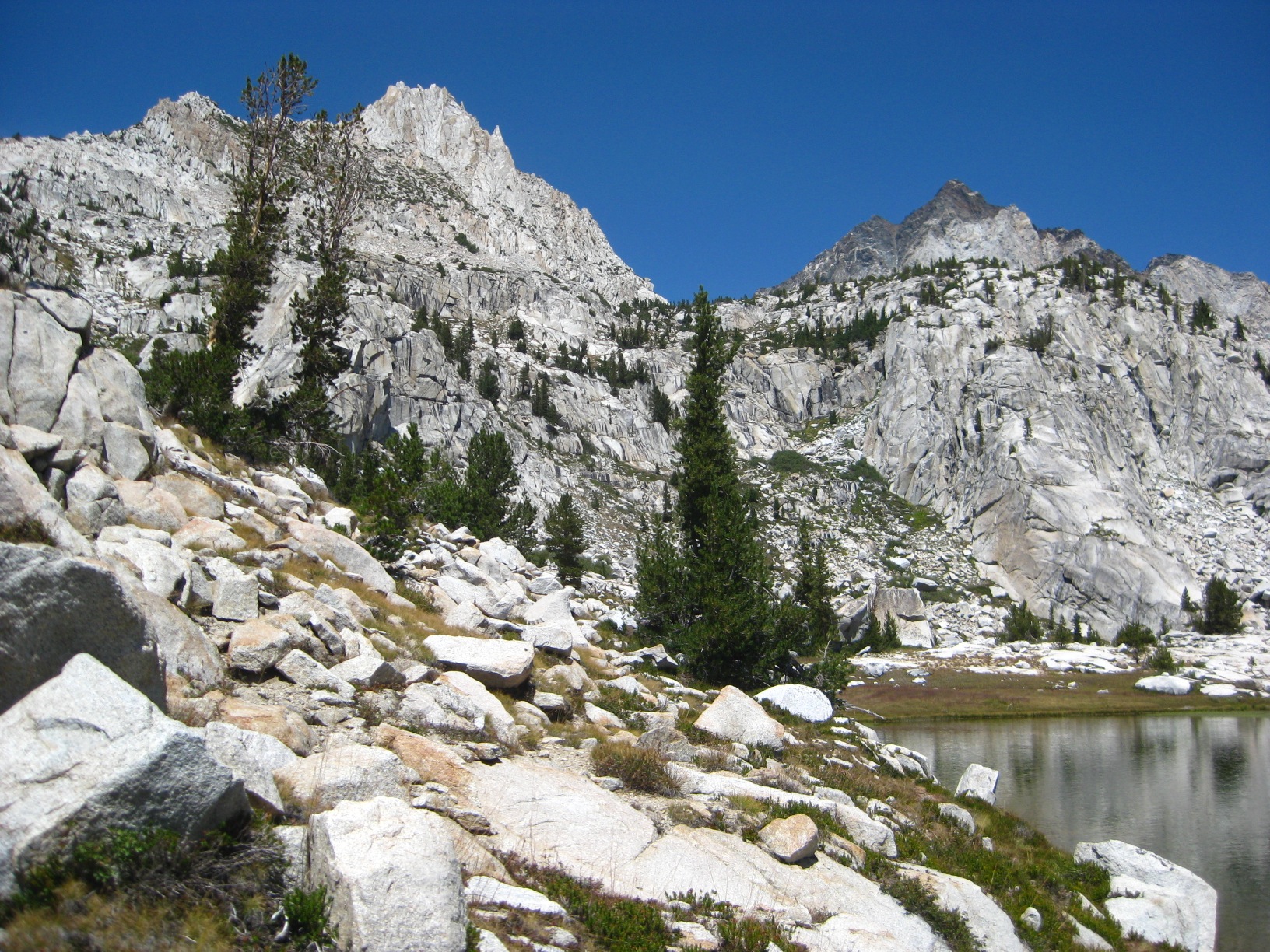
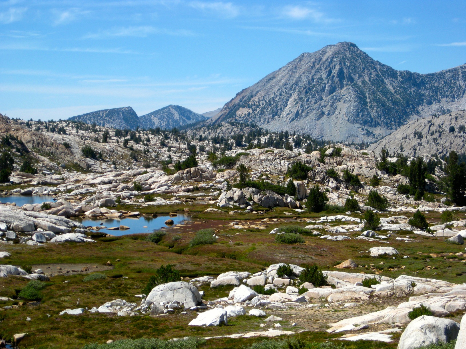
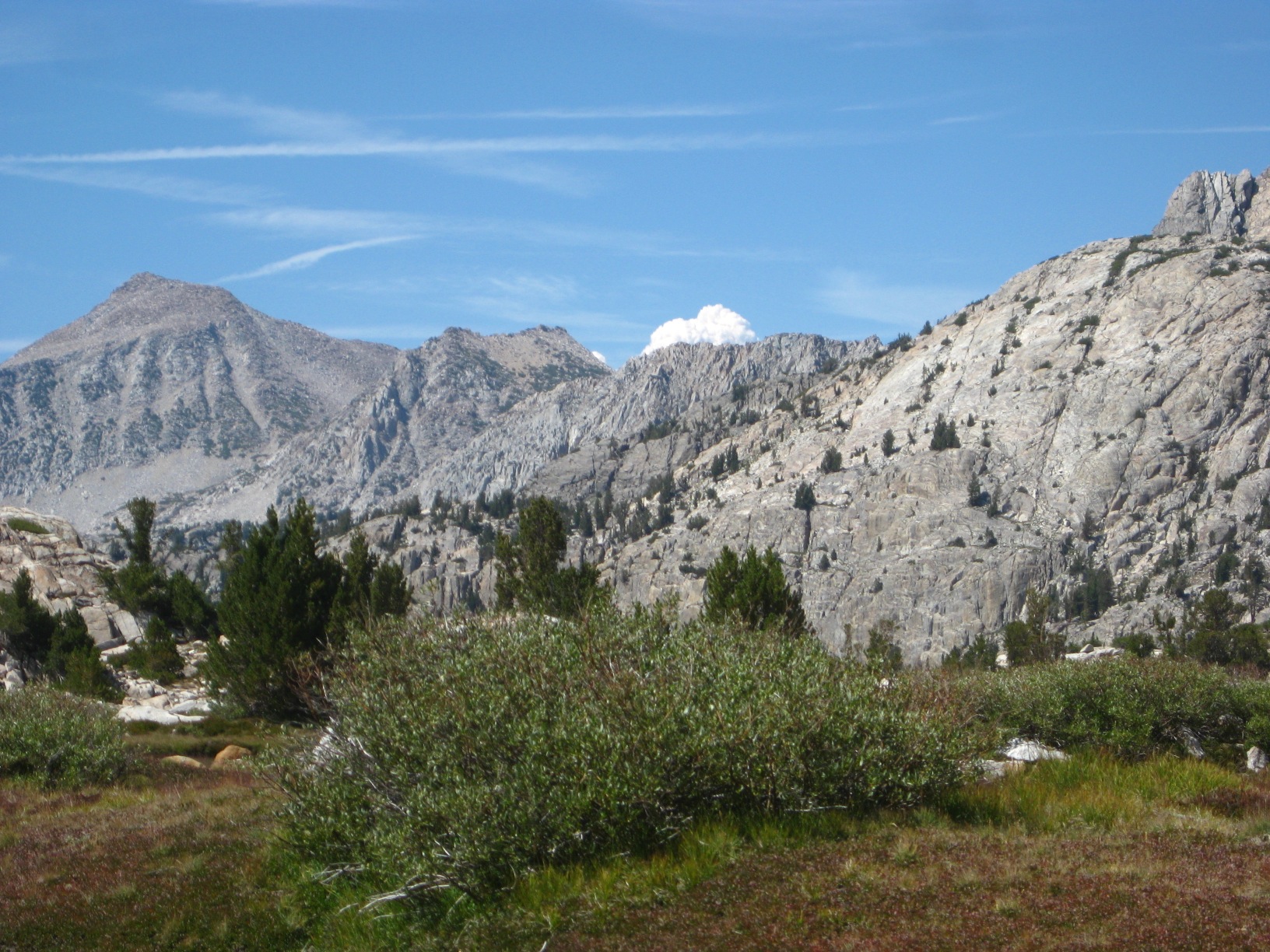
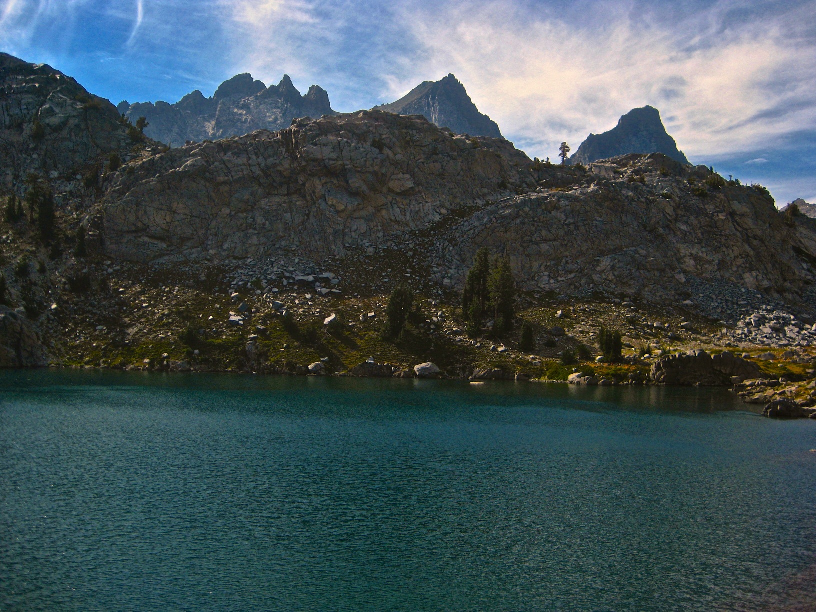
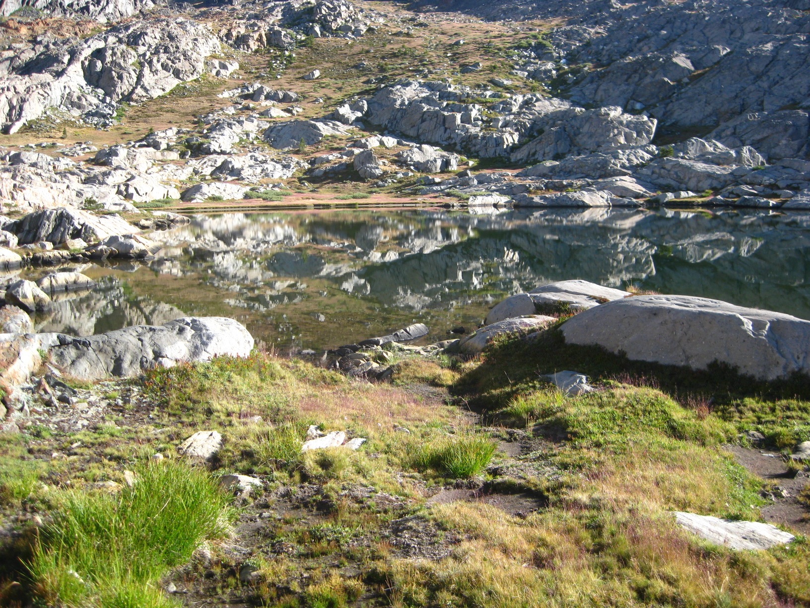
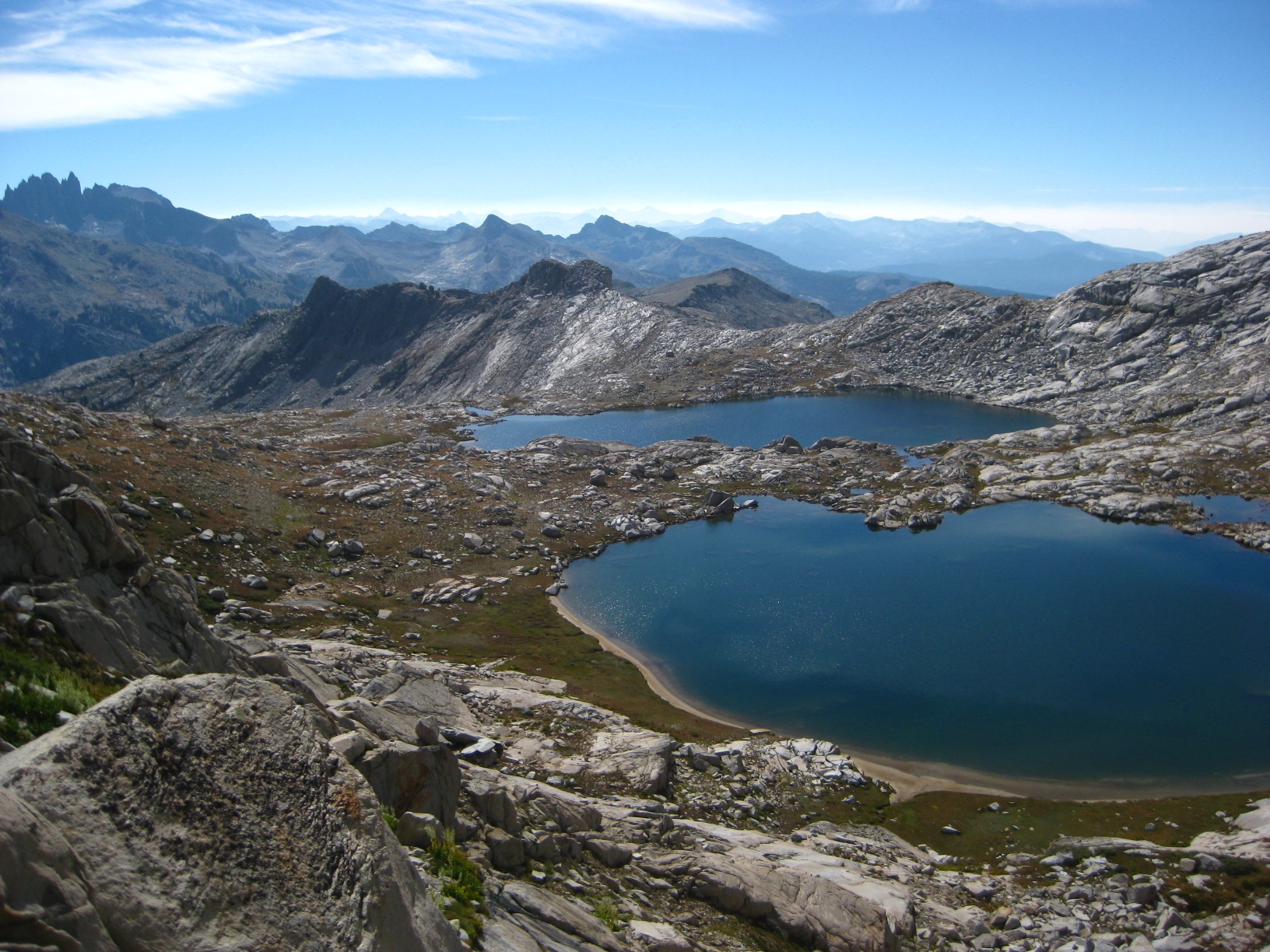
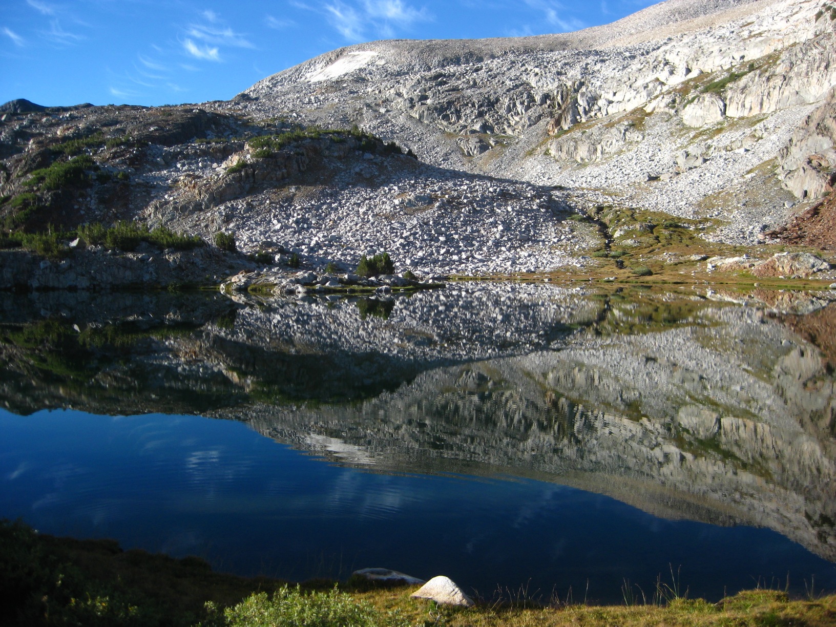
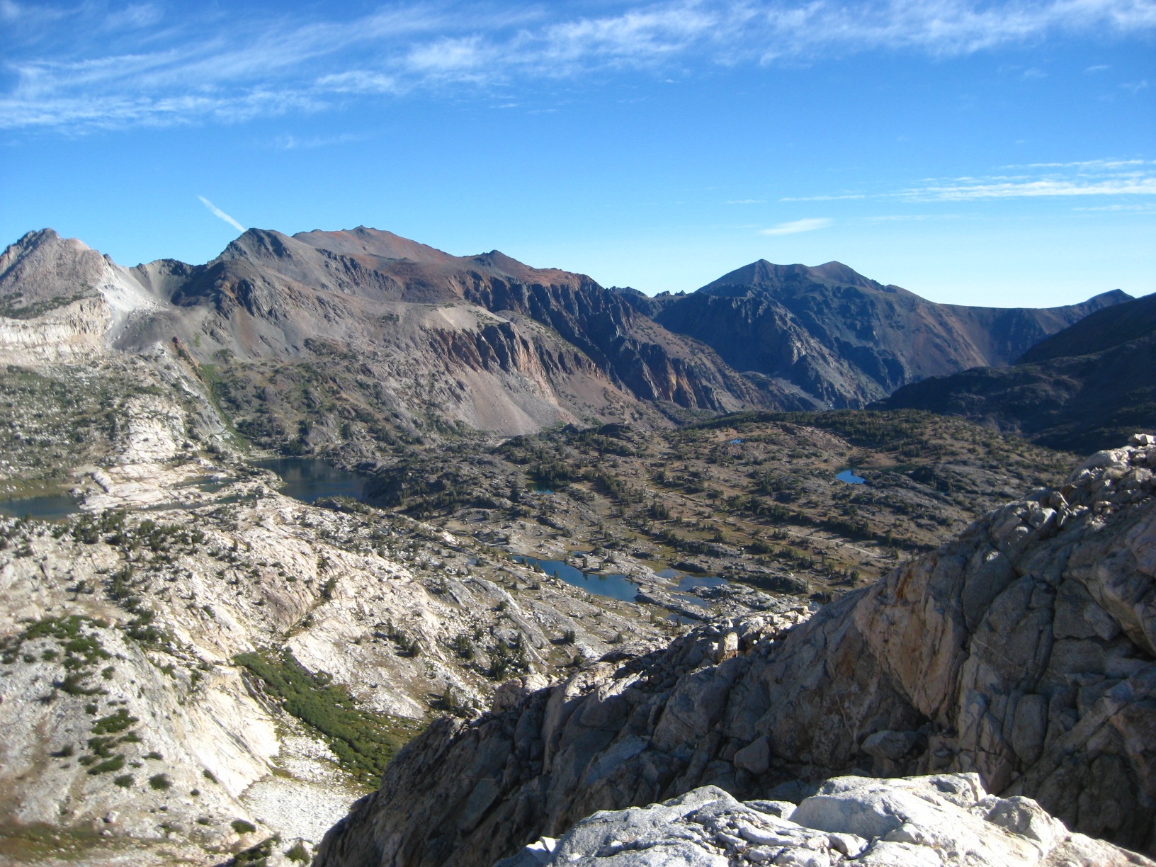
- Glacier Lakes Basin
-
- Glacier Lakes Basin
-
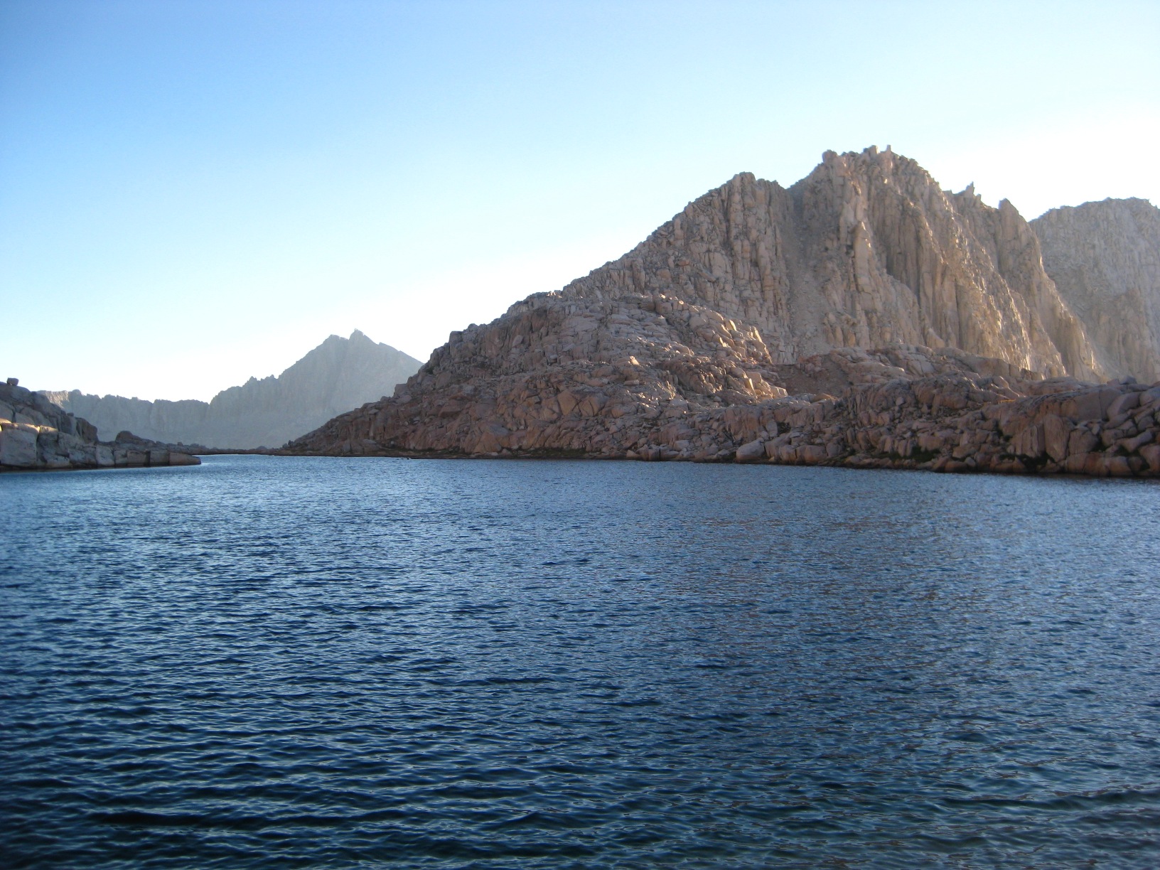
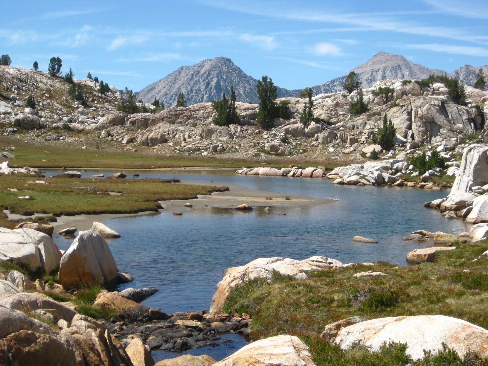
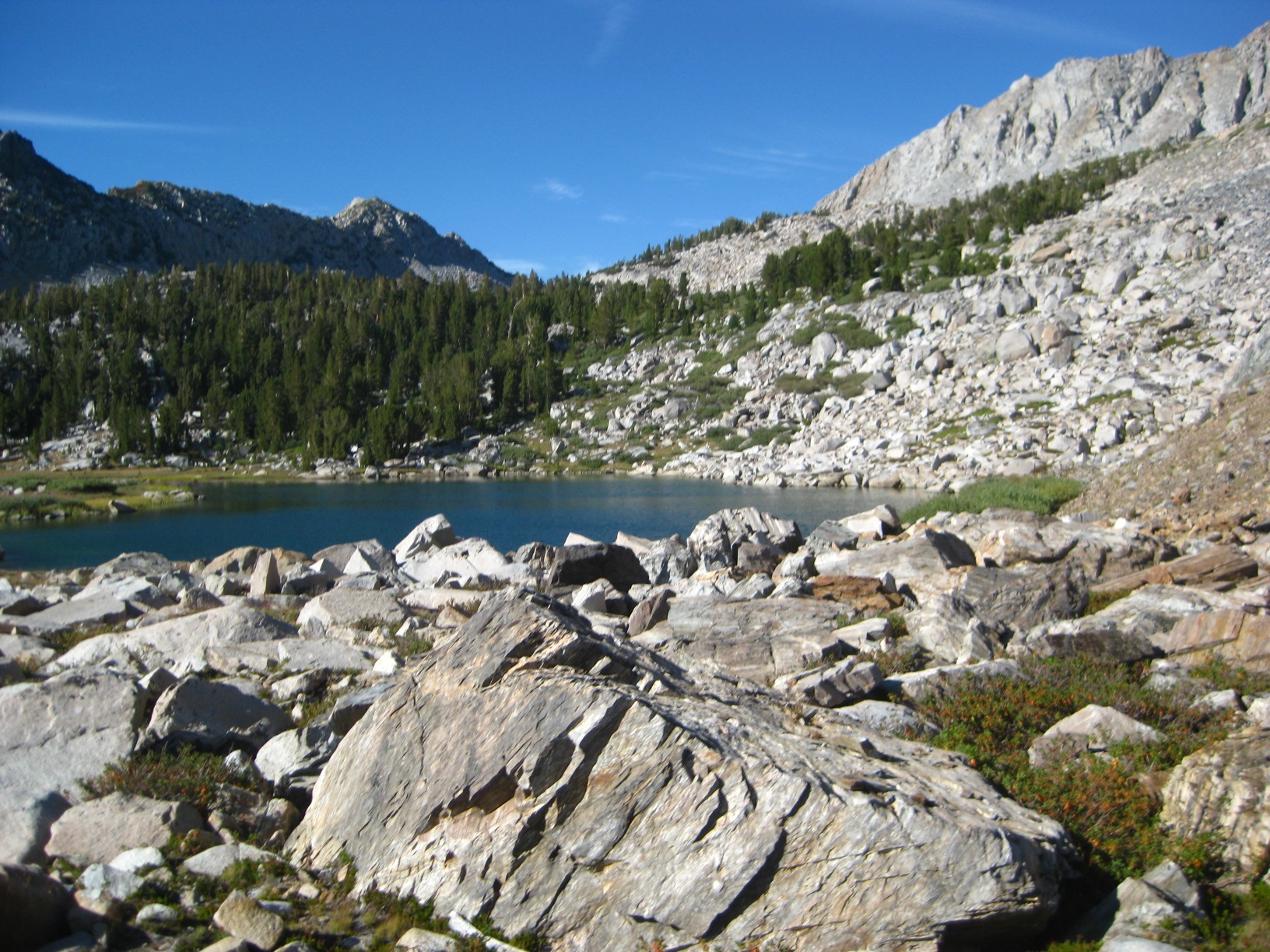
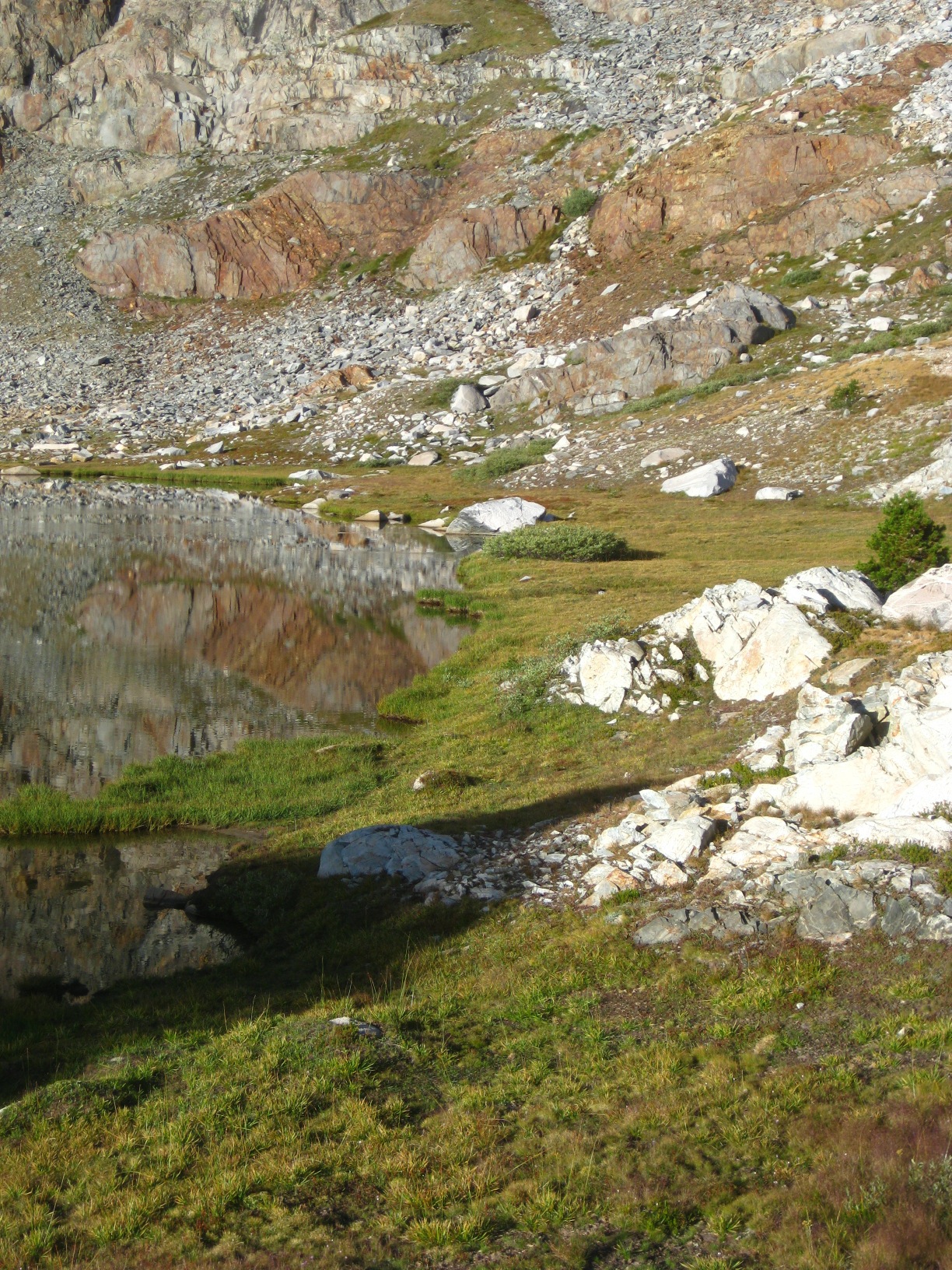
- Lake 10,433 (Glacier Lakes)
-
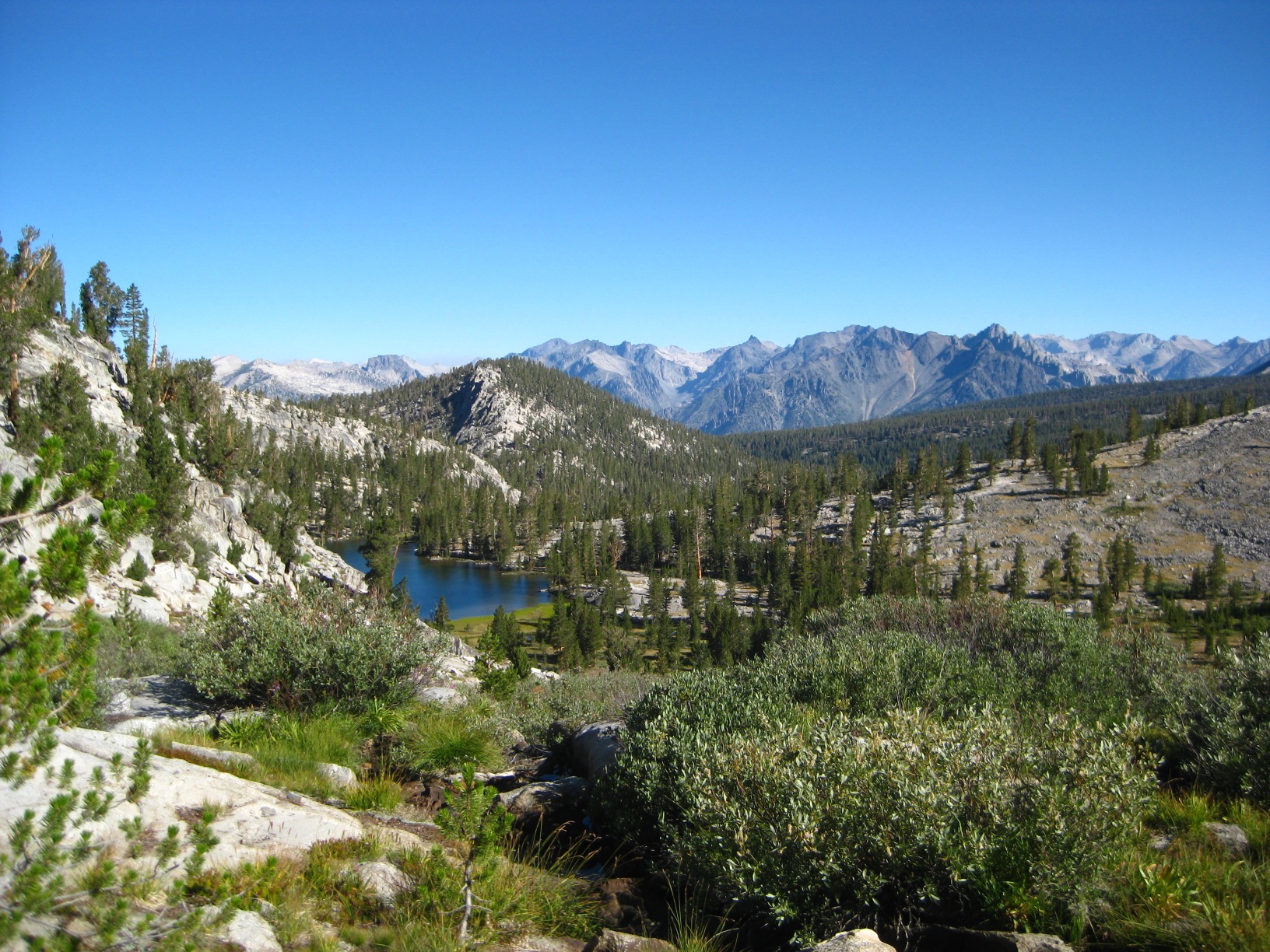
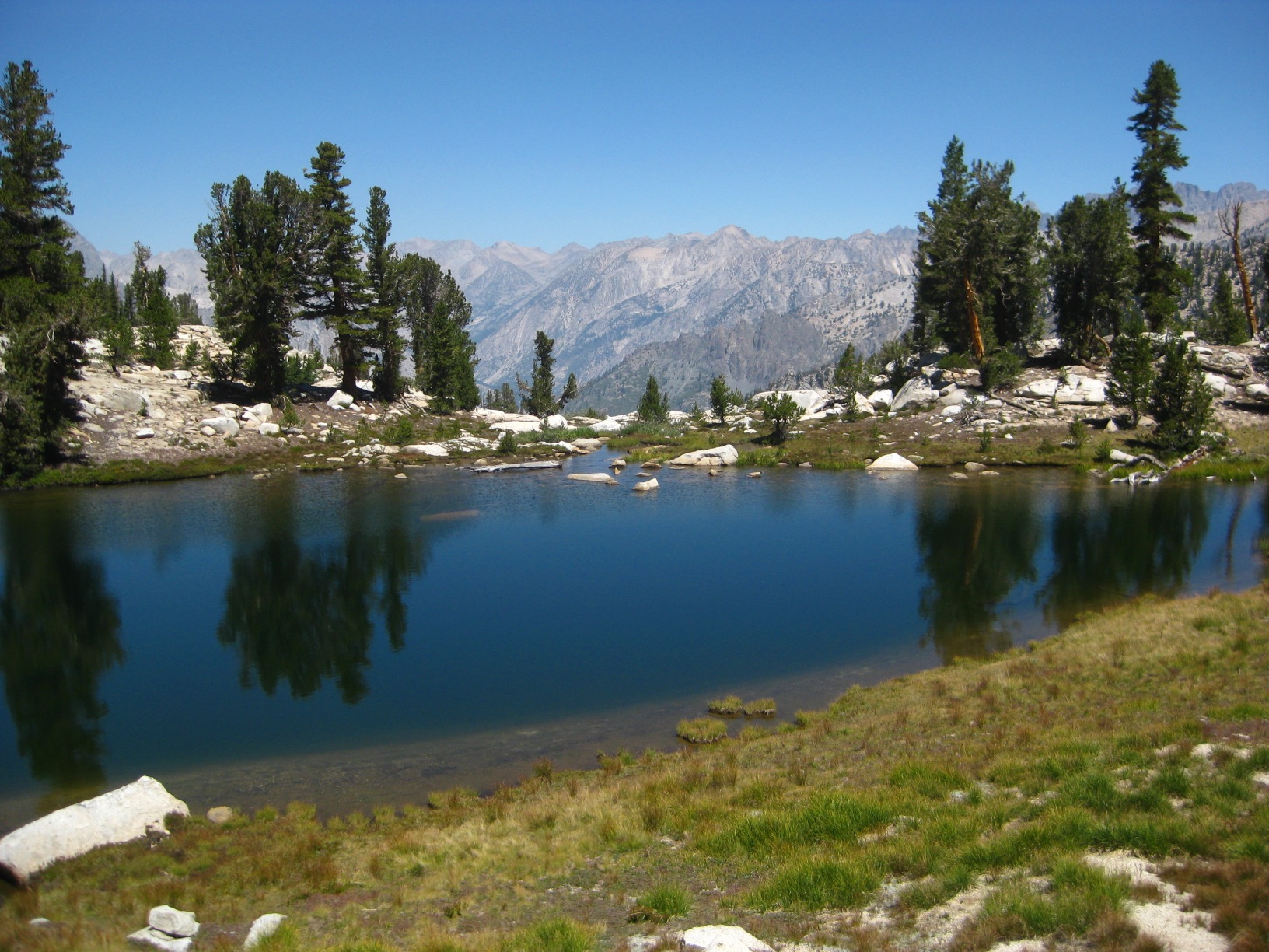
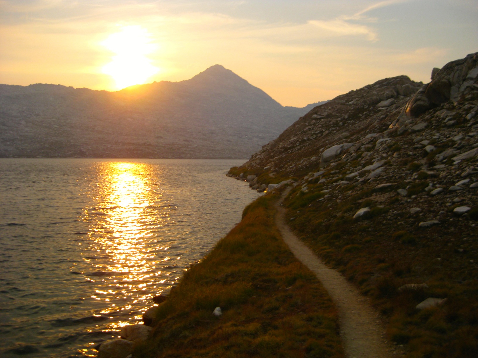
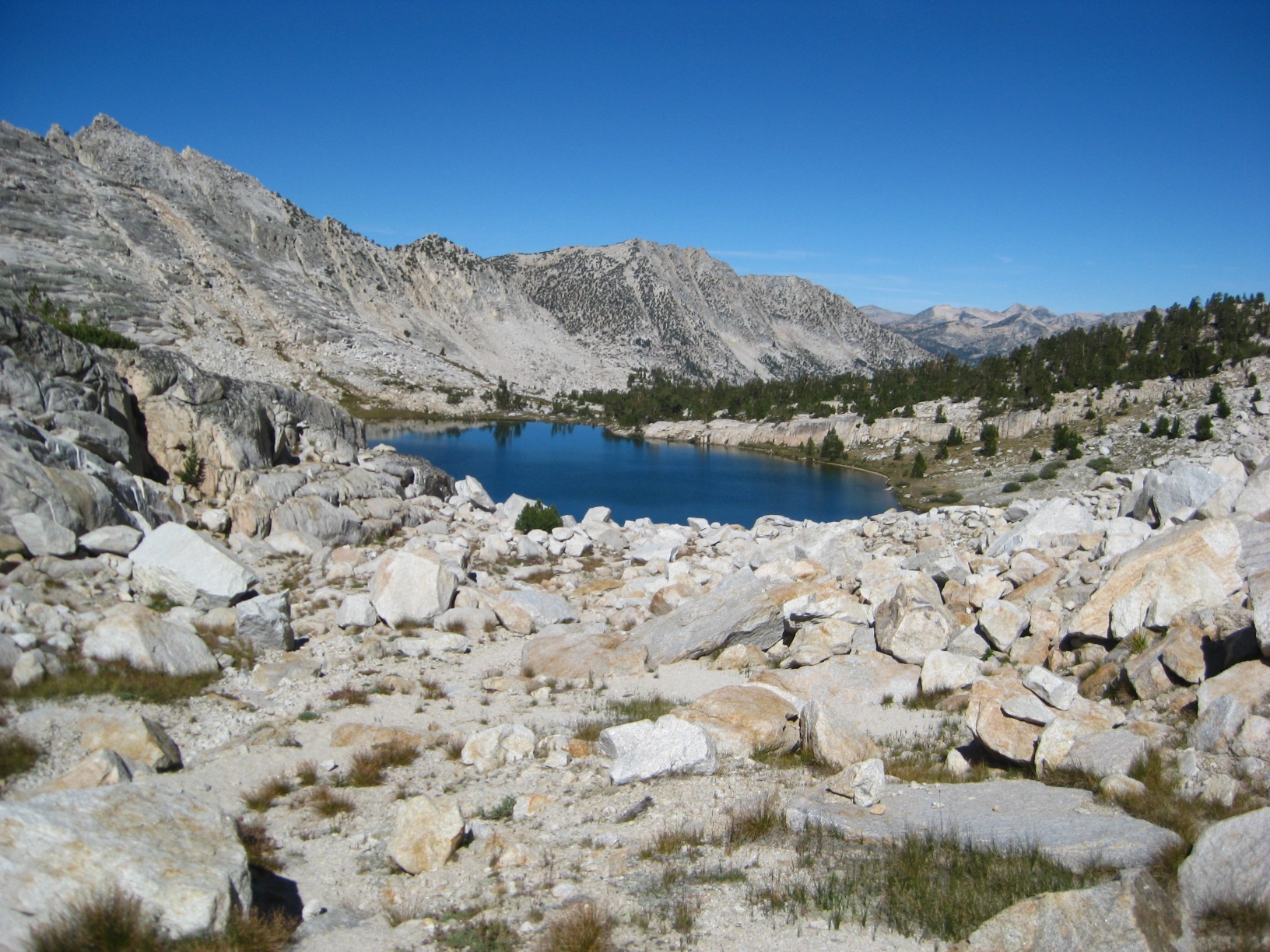
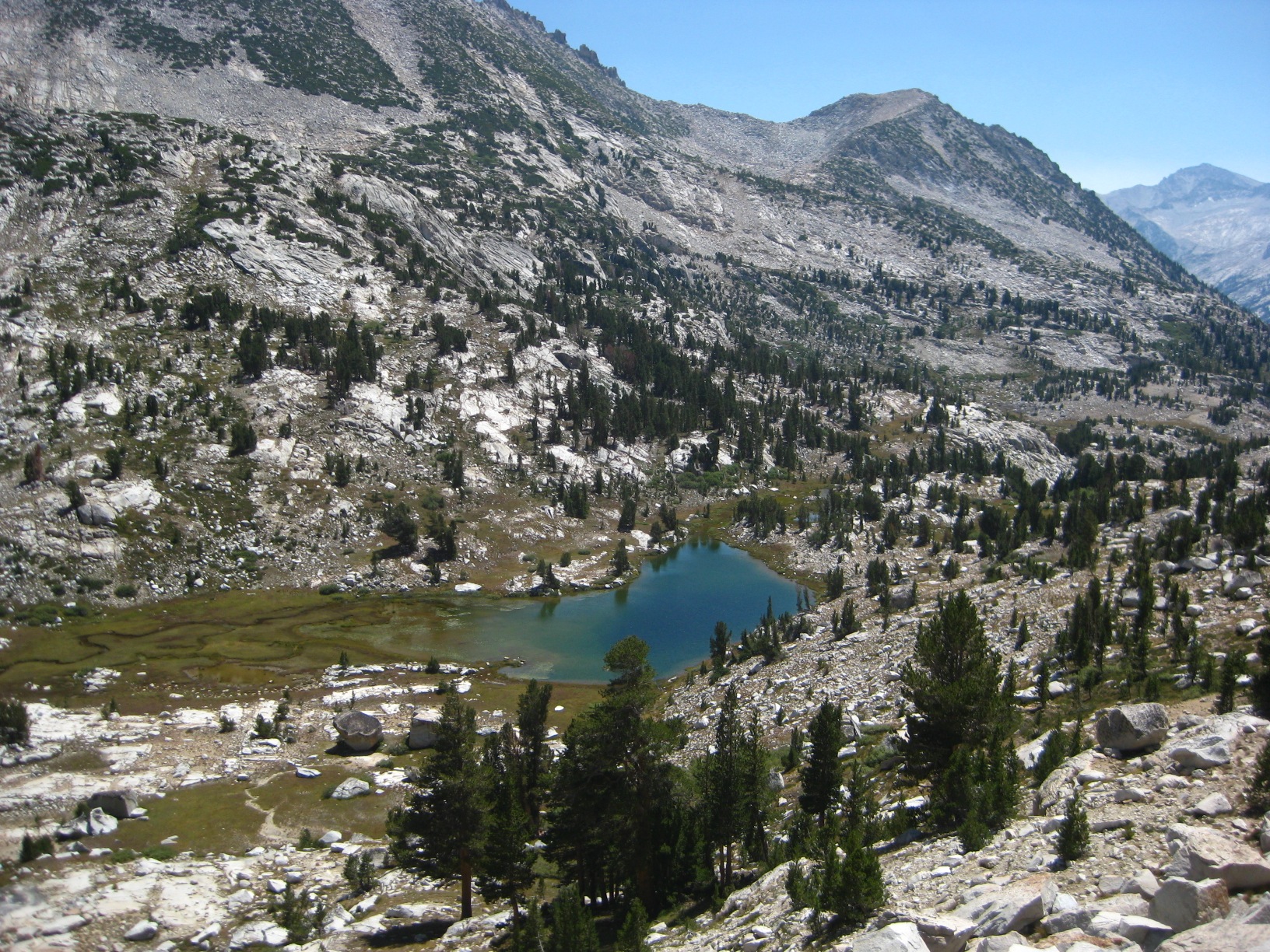
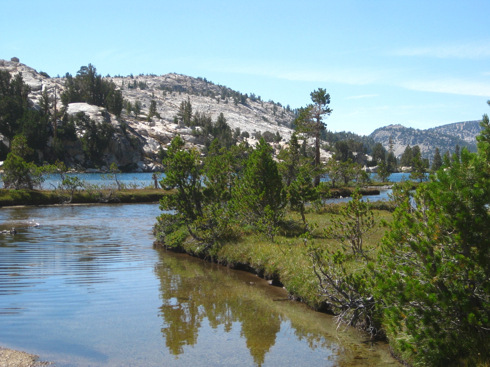
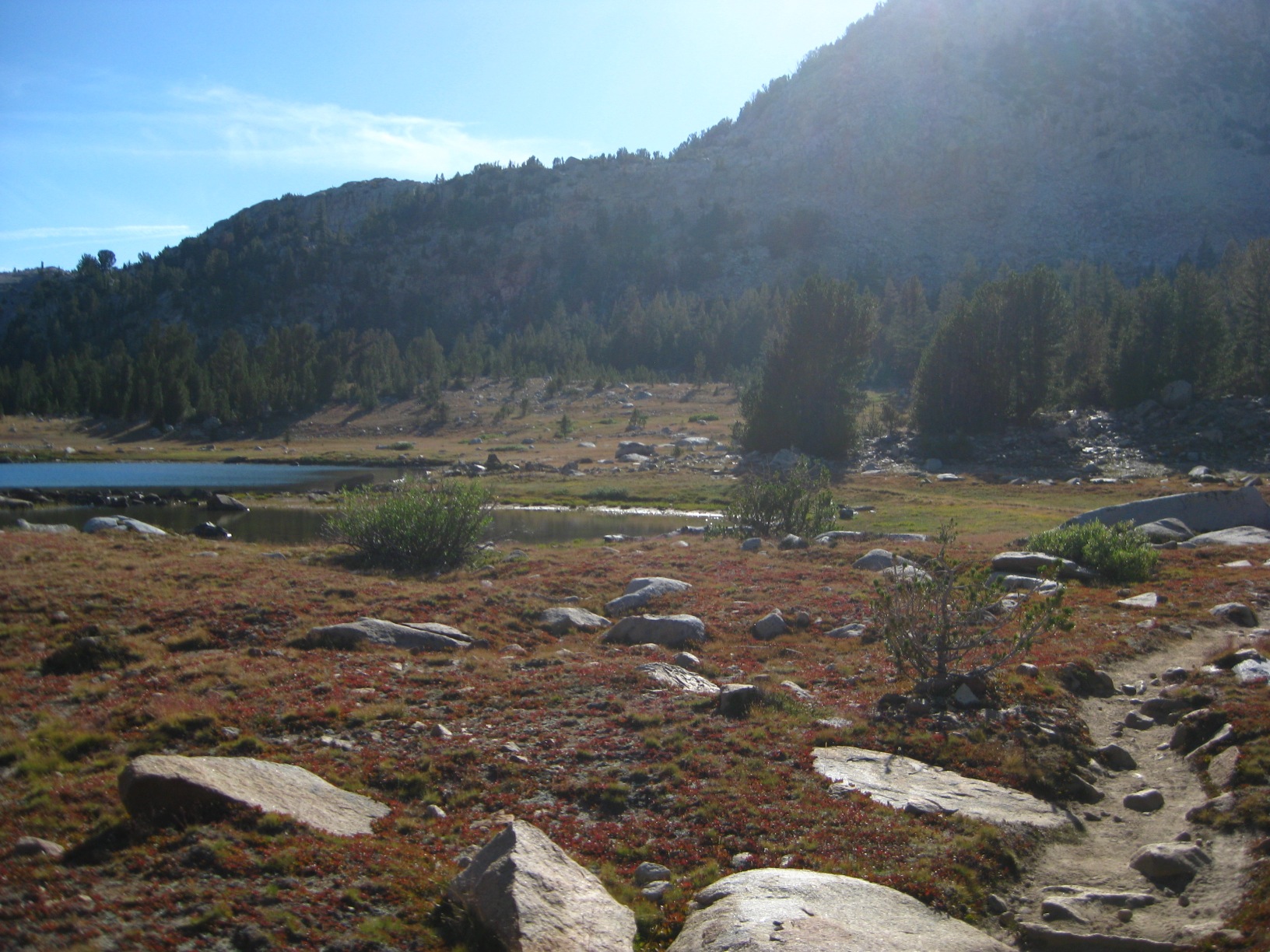
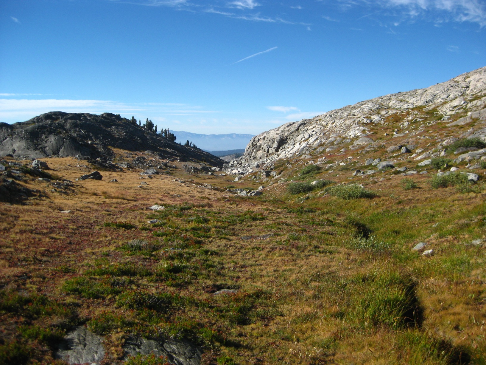
- Horseshoe Lakes basin
-
- Horseshoe Lakes
-
- Horseshoe Lakes
-
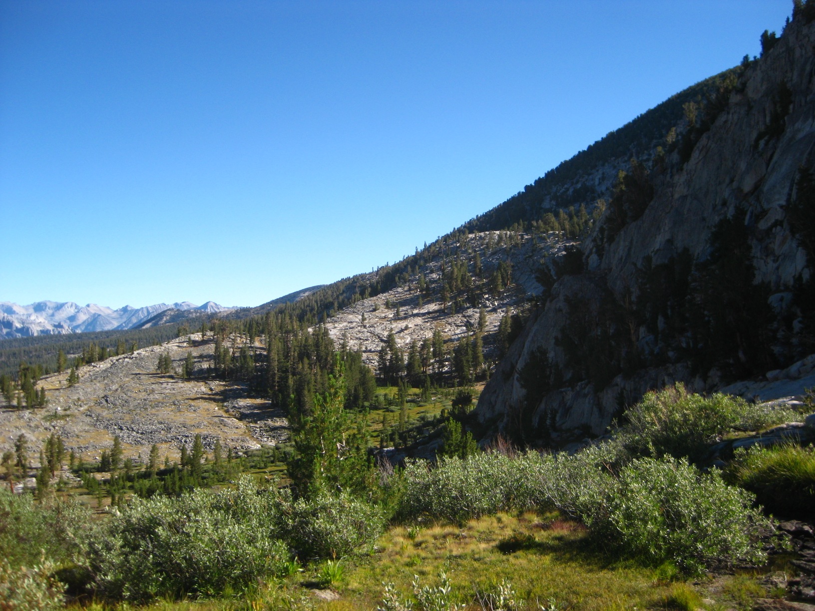
- Windy Canyon
-
- Tarn 11,677 on Windy Ridge
-
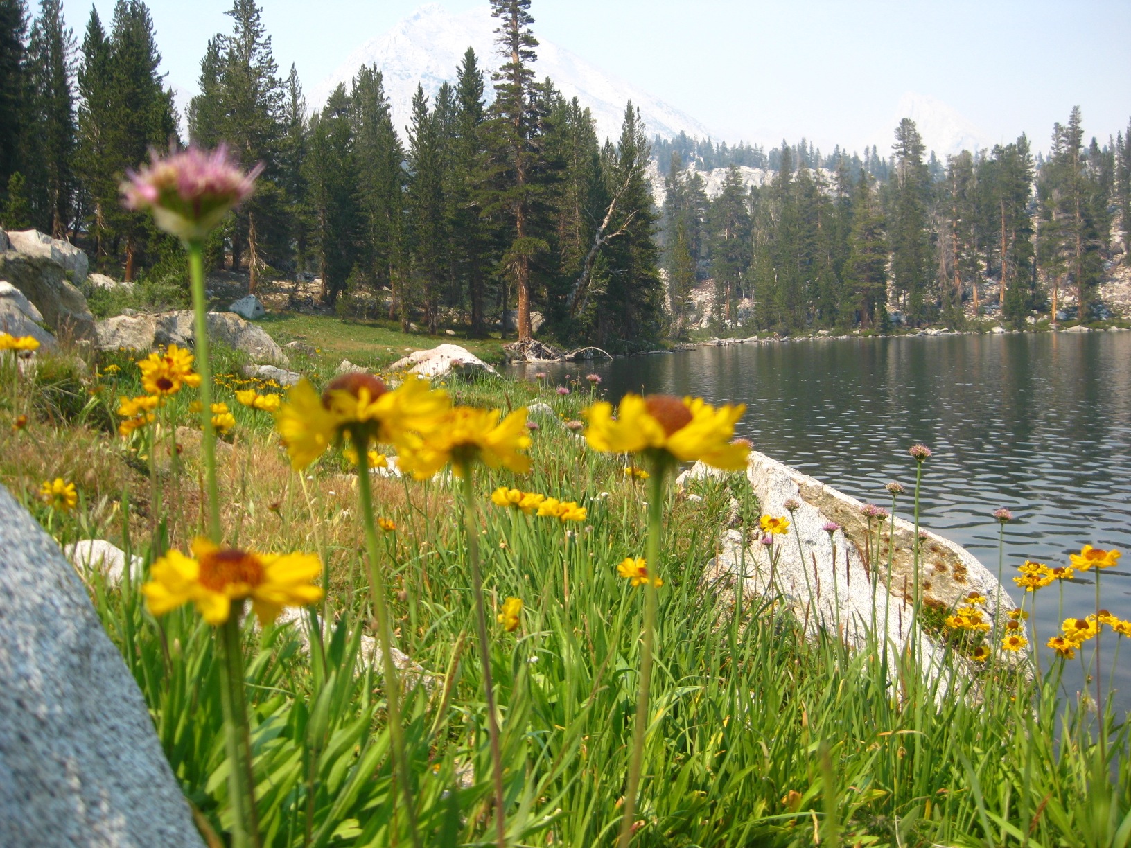
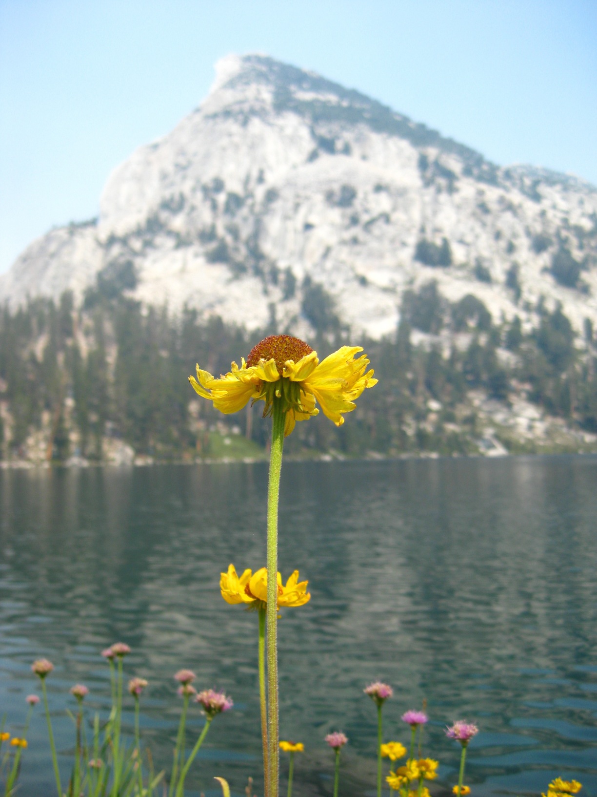
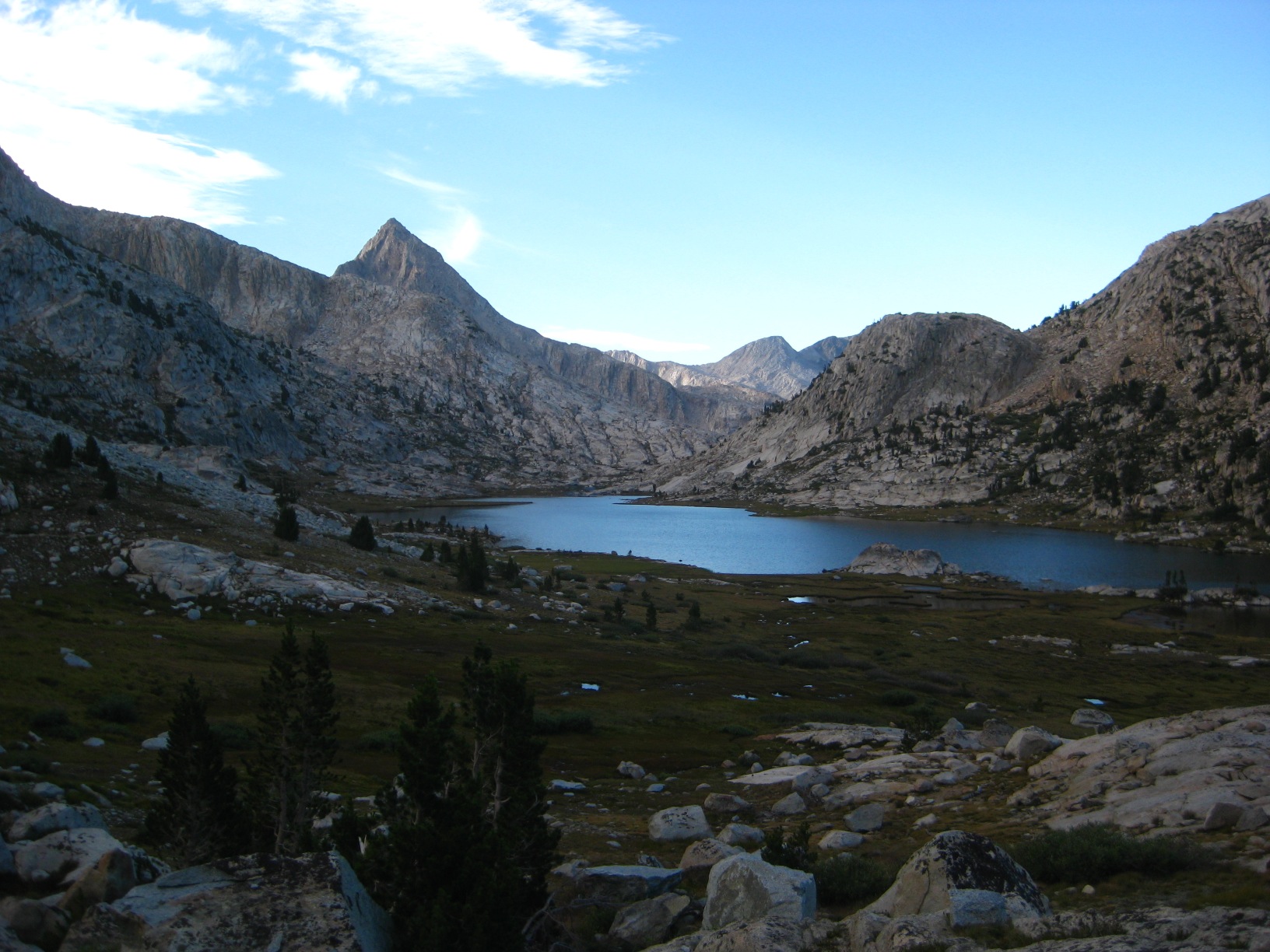
- Marion Lake
-
- Marion Lake
-
- Marion Lake
-
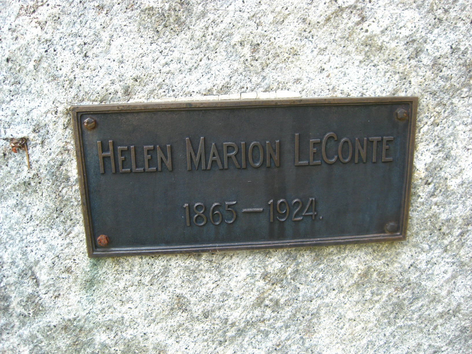
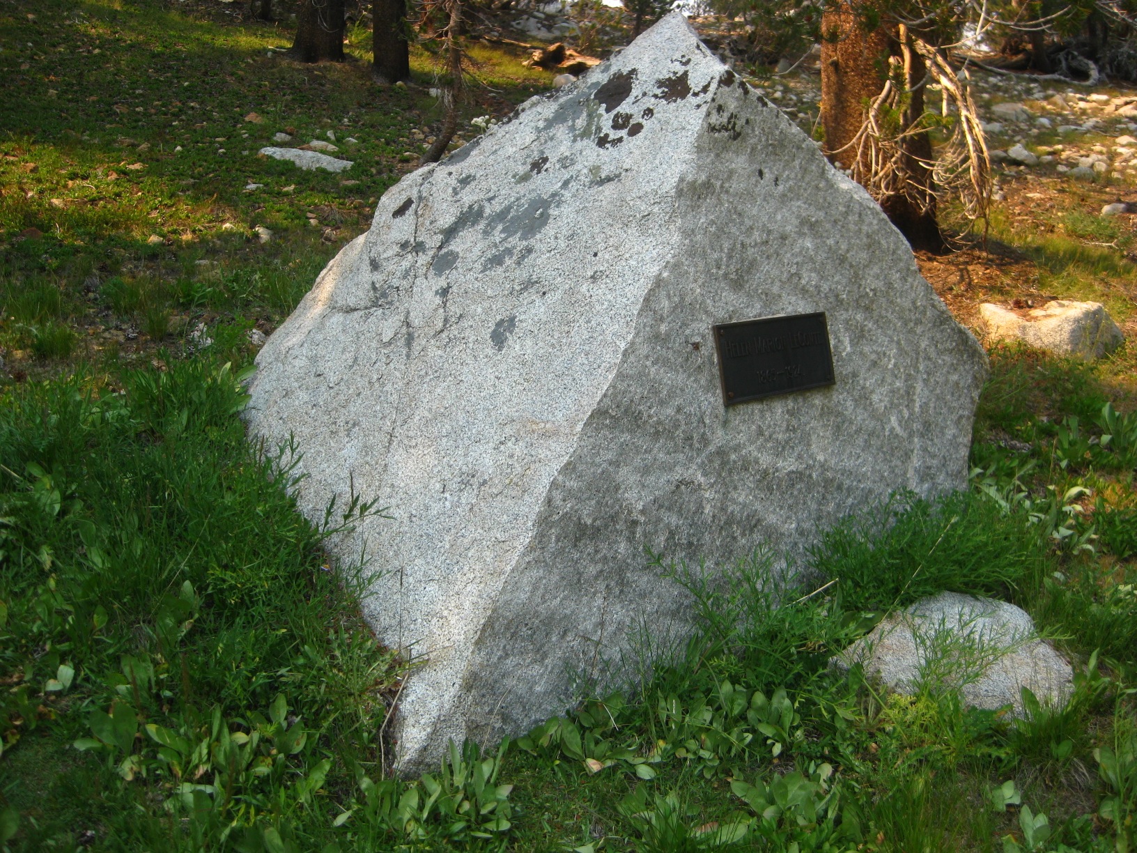
- Marion Lake Plaque
-
- Marion Lake Plaque
-
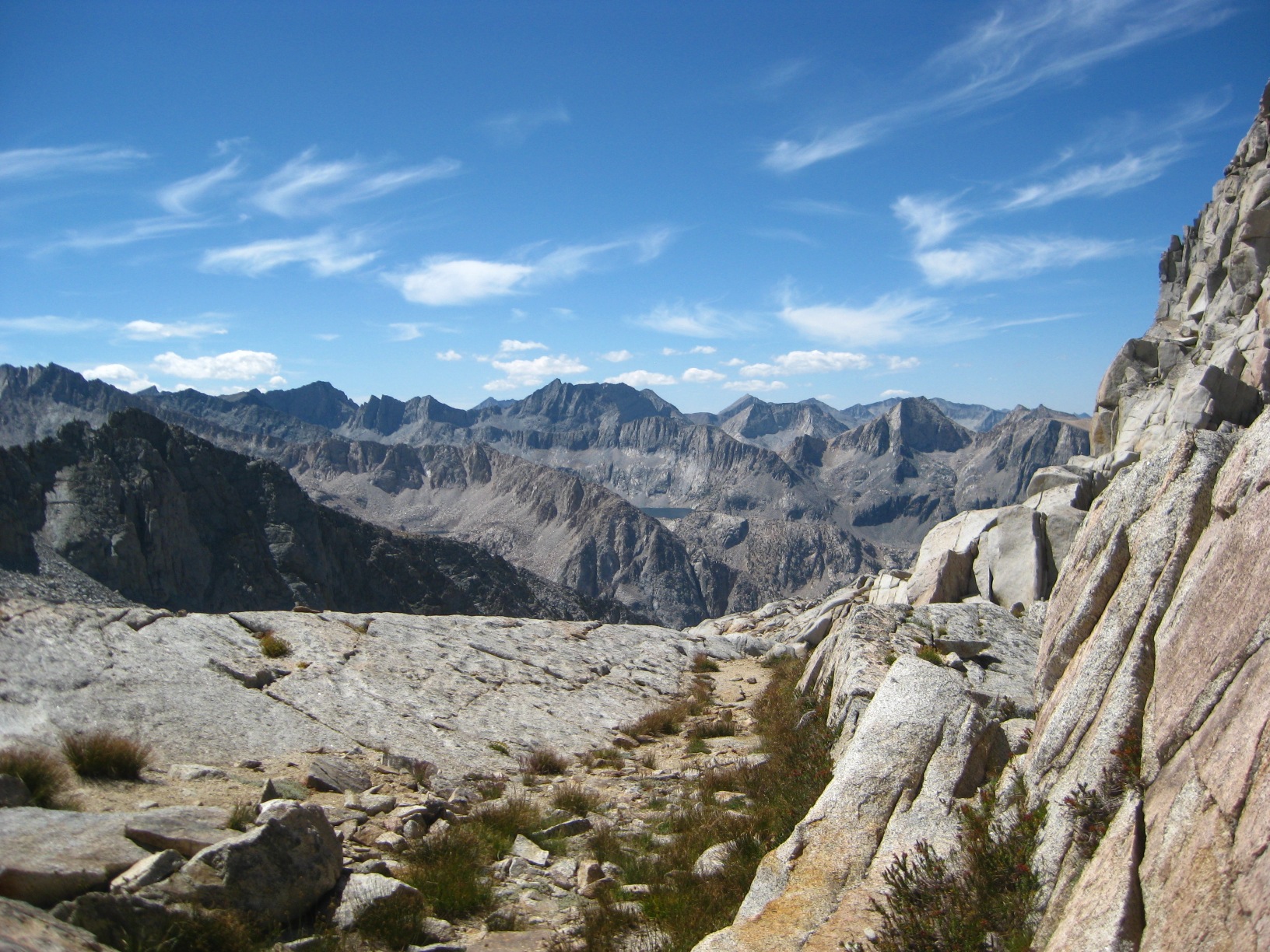
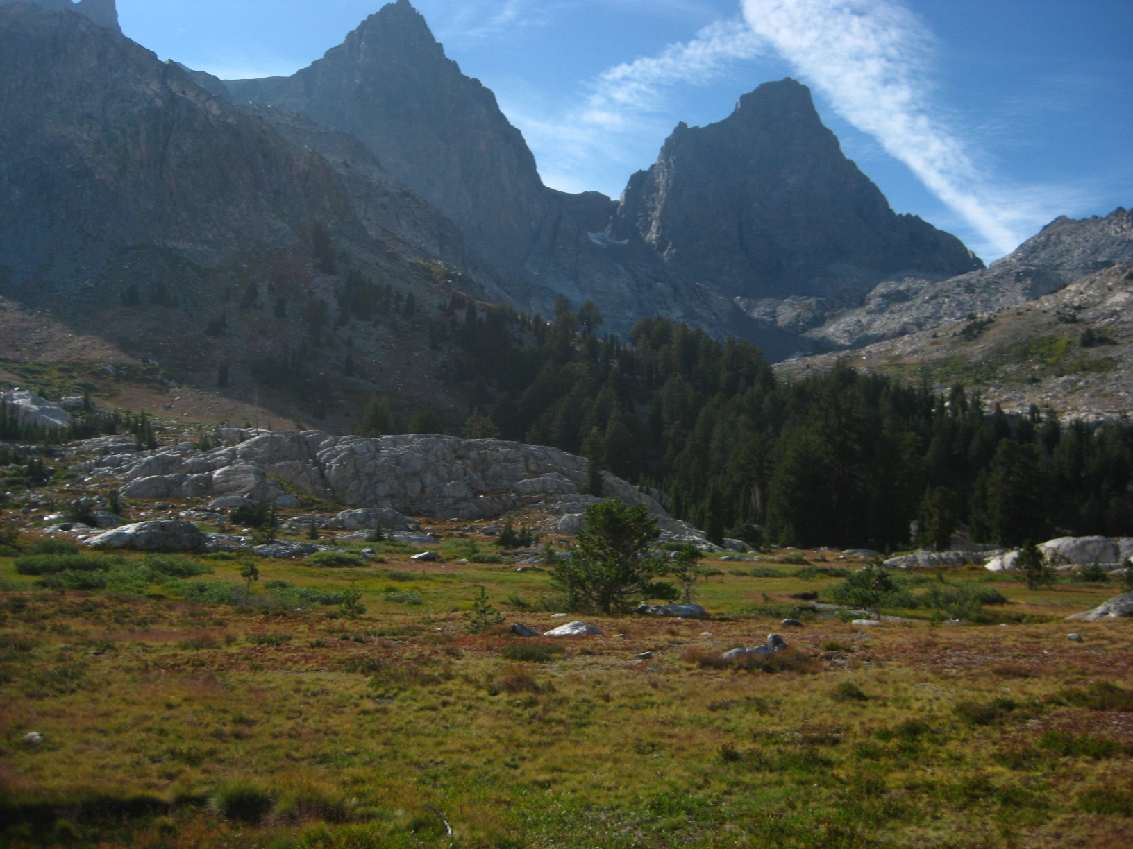
- Lake 11,673 Looking toward Frozen Lakes Pass
-
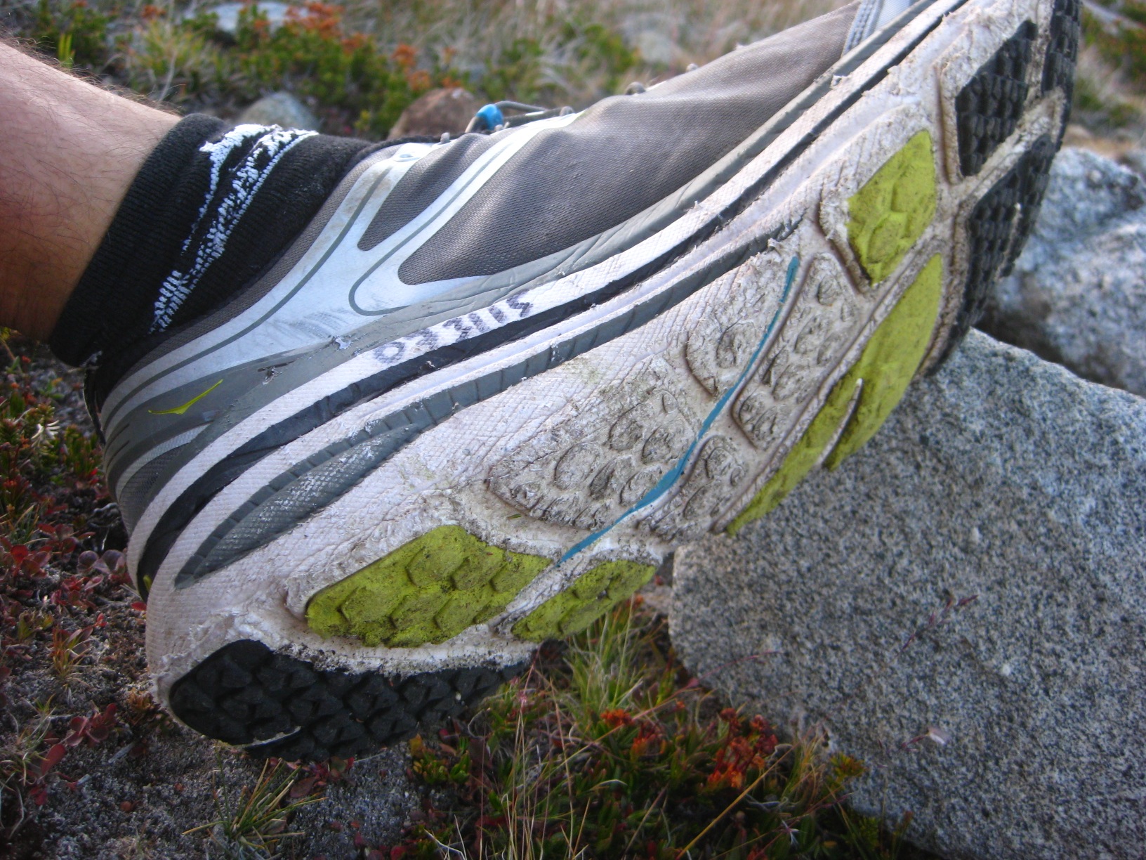
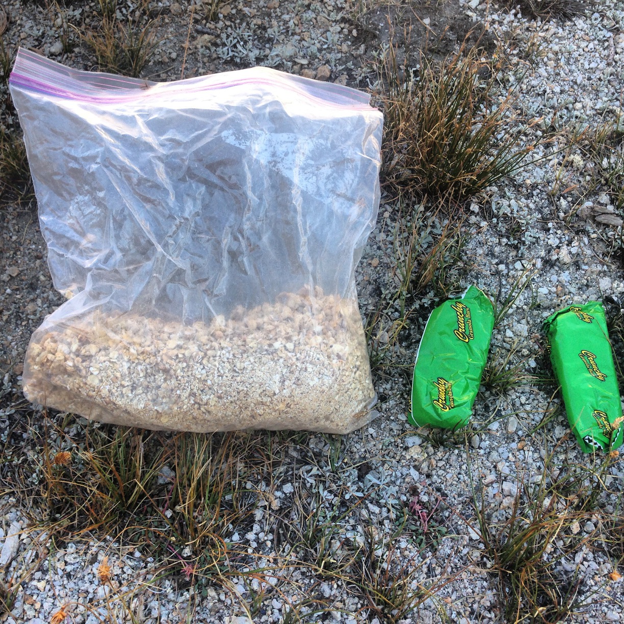
- My shoes after 1 day!
-
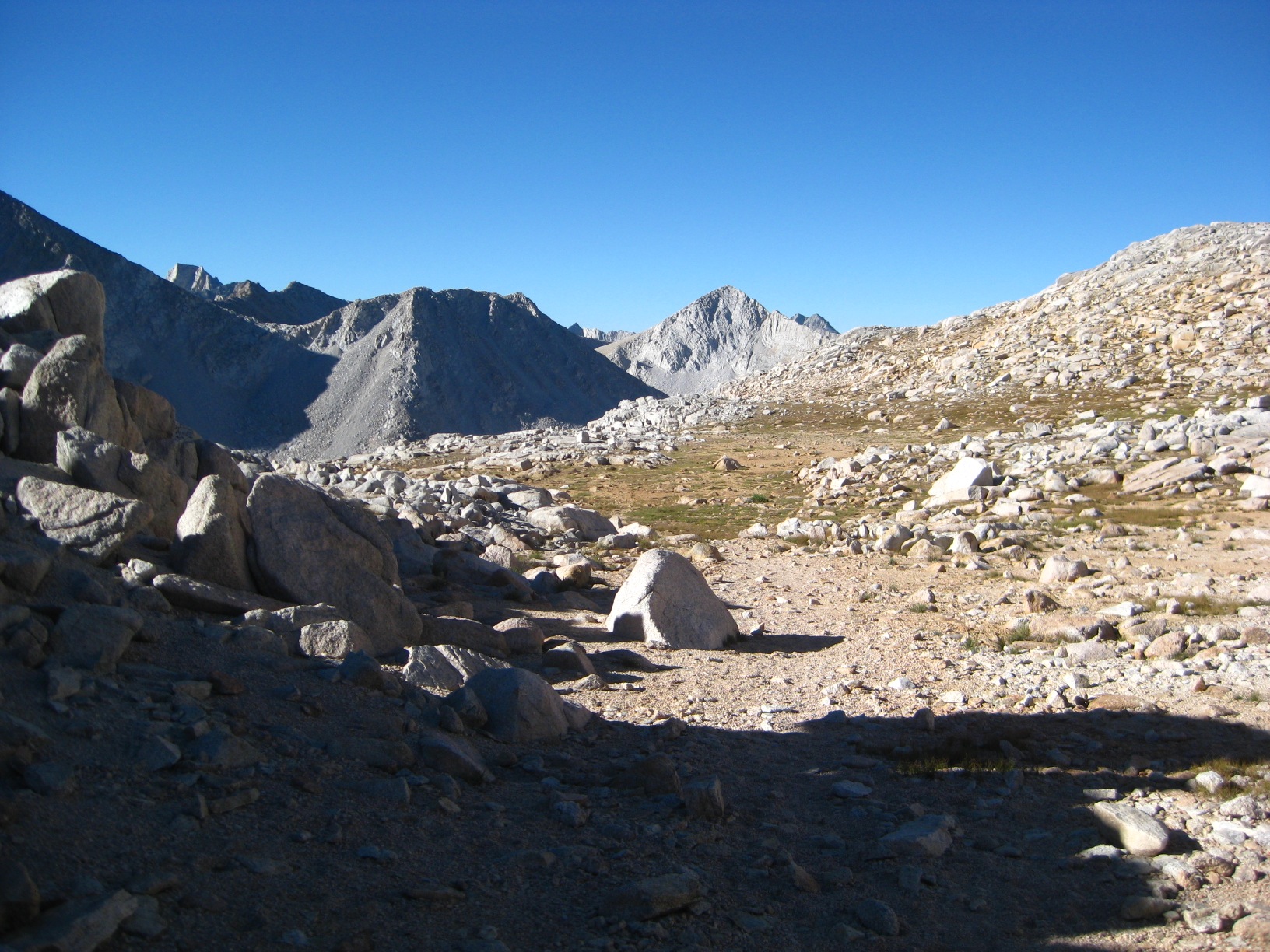
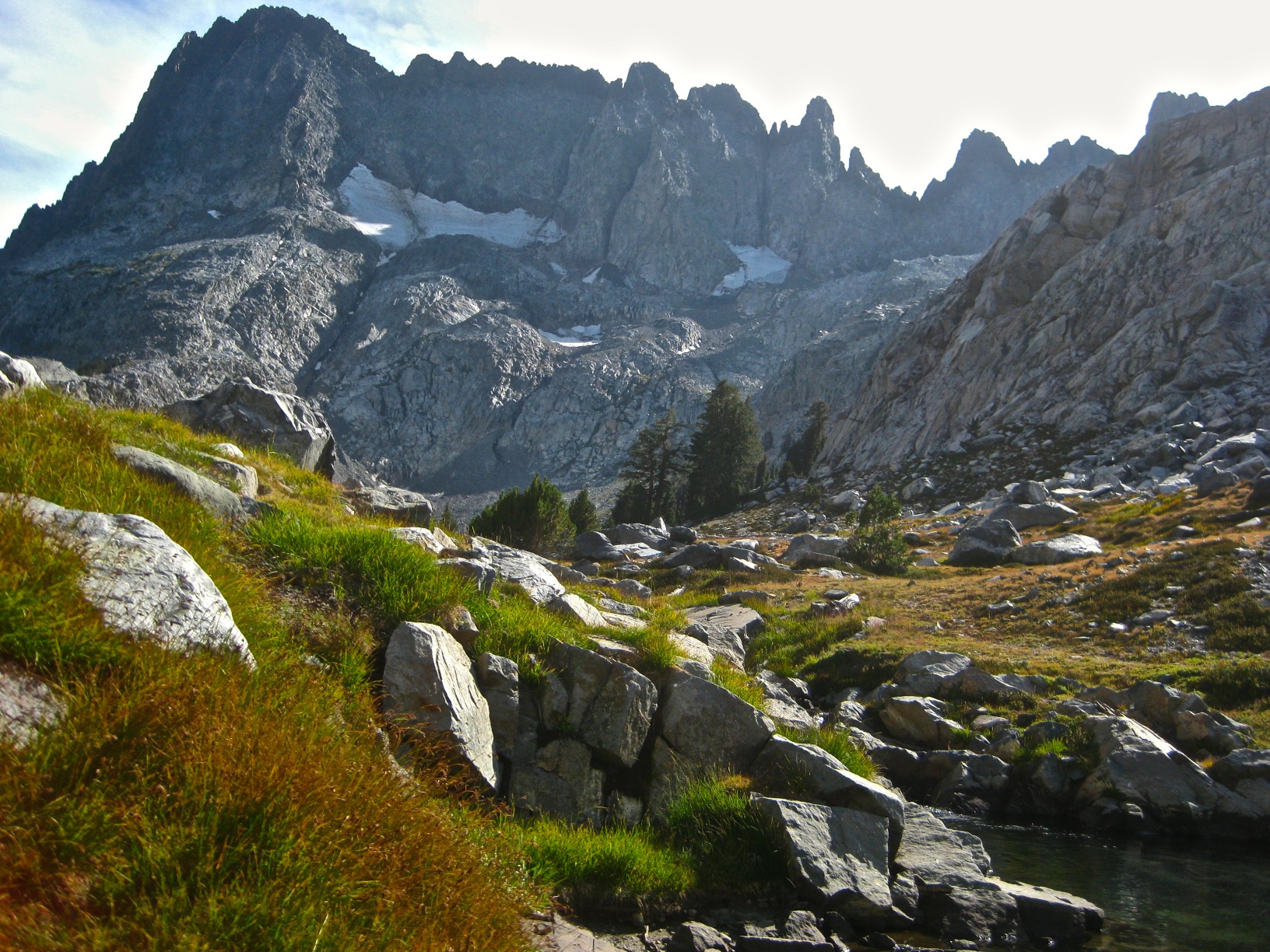
- Upper Basin
-
- Upper Basin
-
- Upper Basin
-
- Upper Basin from Mather Pass
-
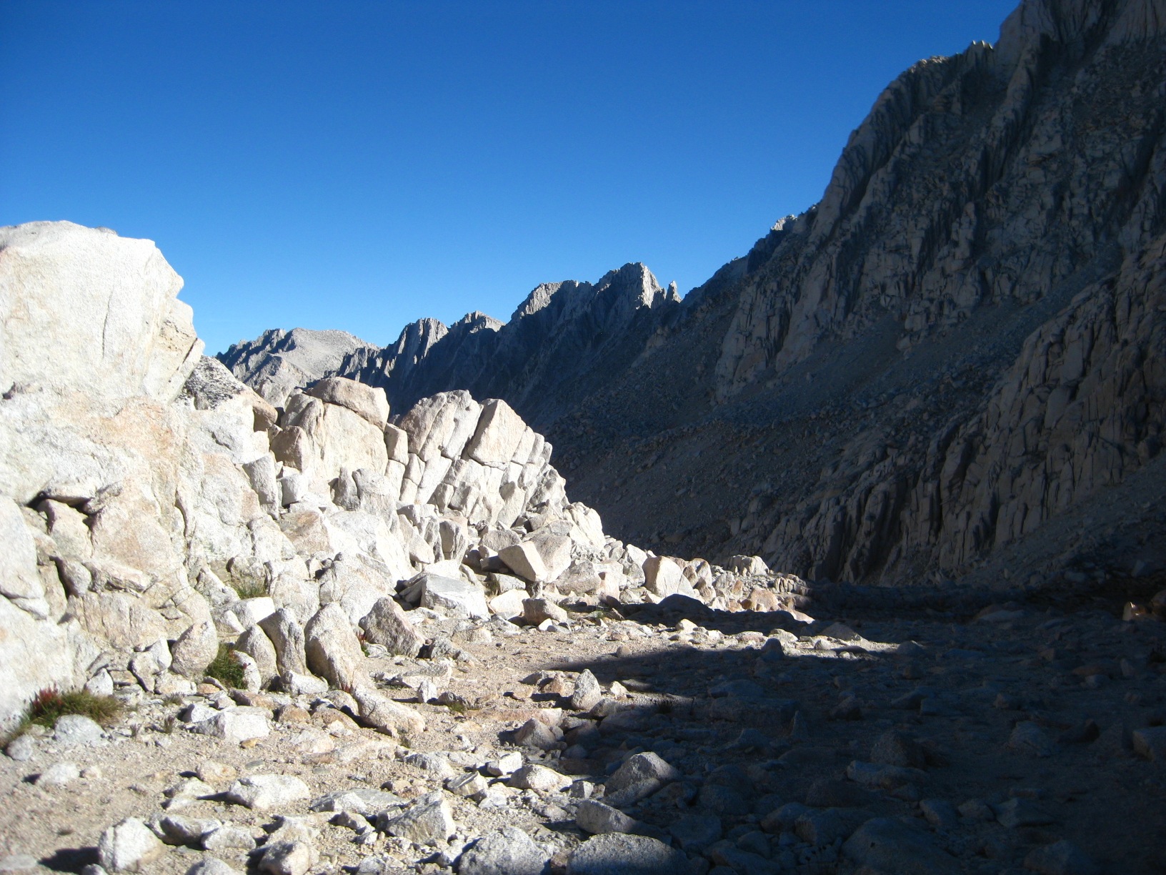
- Mather Pass
-
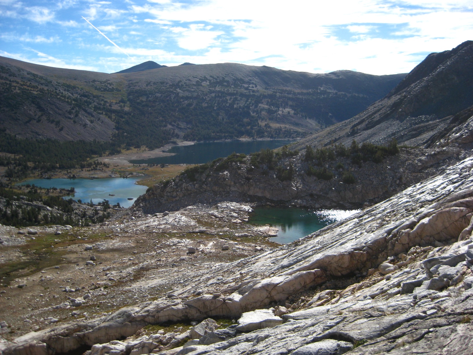
- Pallisade Lakes from Mather Pass
-
- Pallisade Lakes from Mather Pass
-
- Pallisade Lakes from Mather Pass
-
- Down Pallisade Creek Basin
-
- Down Pallisade Creek Basin
-
- Tarn above Pallisades
-
- Climbing out of Palisade Basin
-
- Lake 11,673 – looking toward Potluck Pass
-
- Lake 11,673 – from Potluck Pass
-
- Climbing up Potluck Pass
-
- From Potluck Pass
-
- From Potluck Pass
-
- From Potluck Pass
-
- From Potluck Pass
-
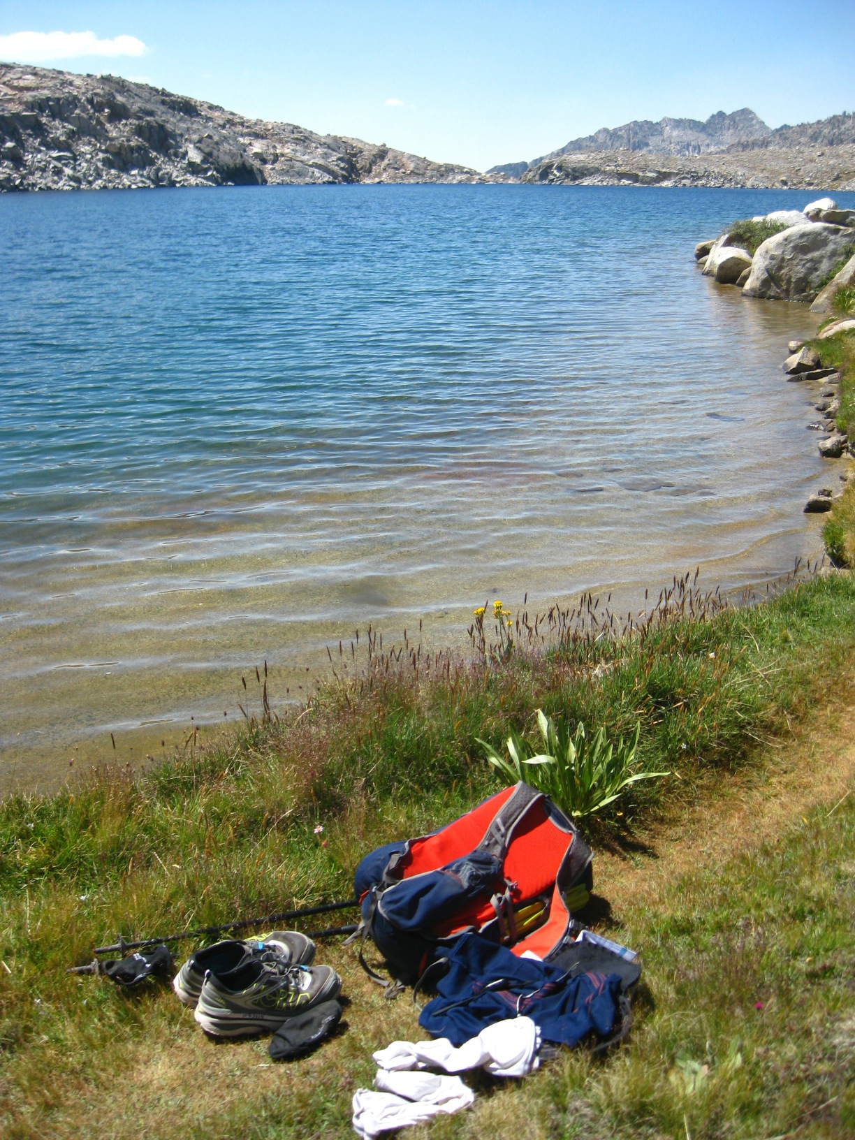
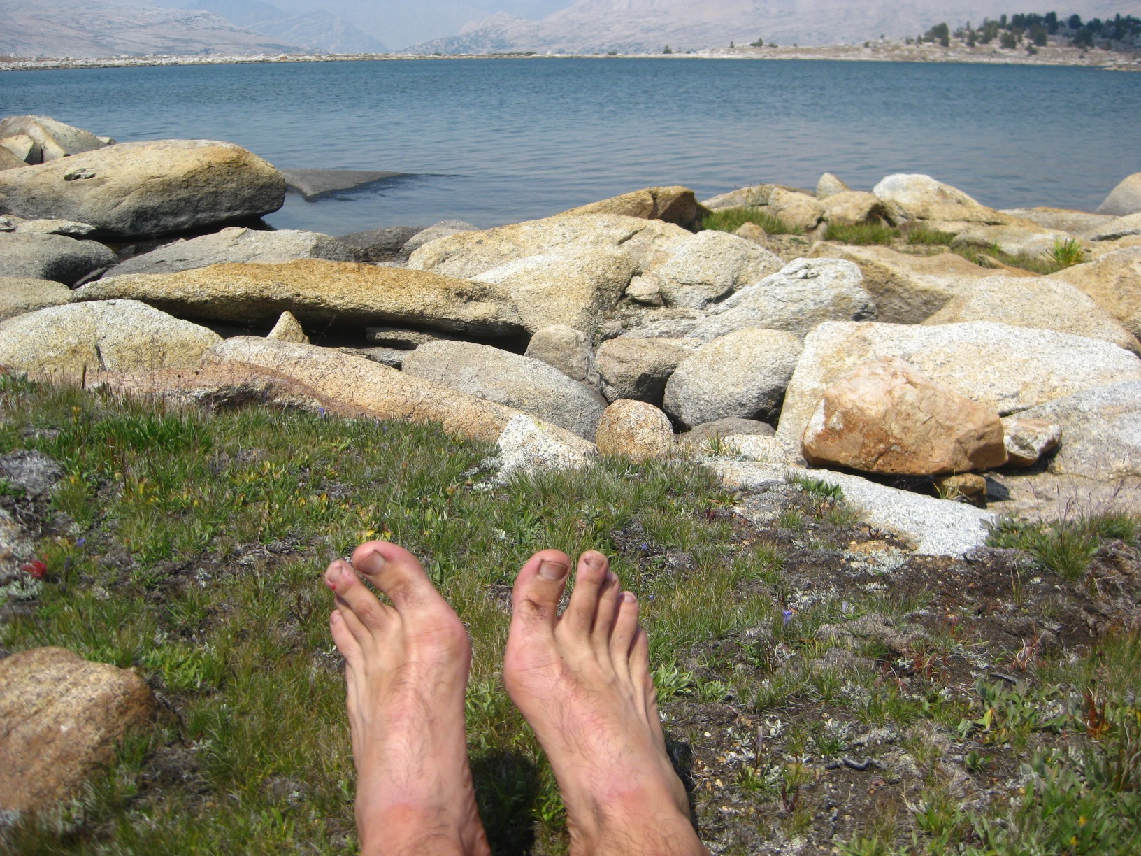
- Relaxing Swim at Barrrett Lake
-
- Barrett Lakes
-
- Barrett Lakes
-
- Barrett Lakes
-
- Dusy Branch
-
- Wanda Lake
-
- Evolution Lake
-
- Evolution Lake
-
- Evolution Lake
-
- Evolution Lake
-
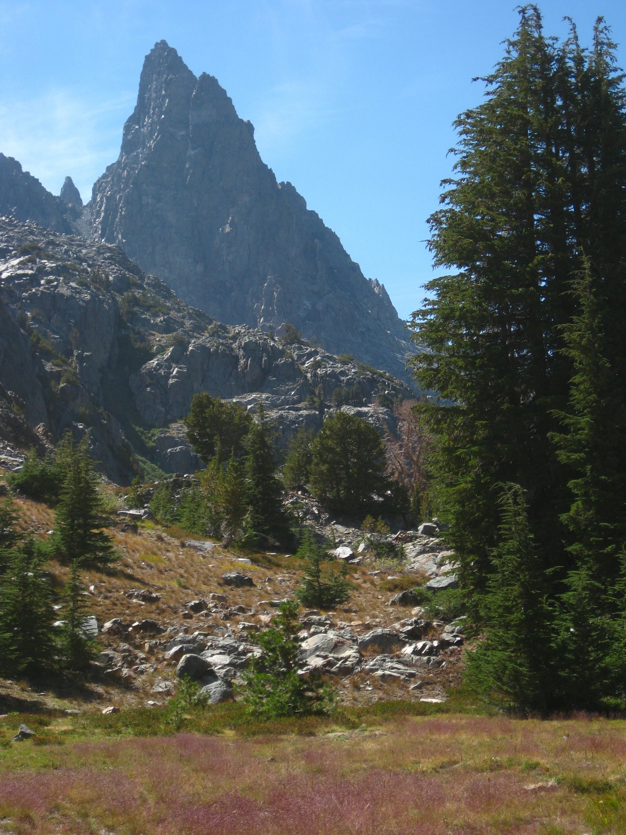
- The Hermit
-
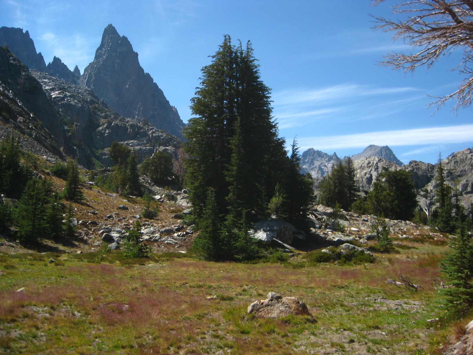
- Looking out from the Darwin Bench
-
- Looking up to Glacier Divide
-
- Looking up to Glacier Divide
-
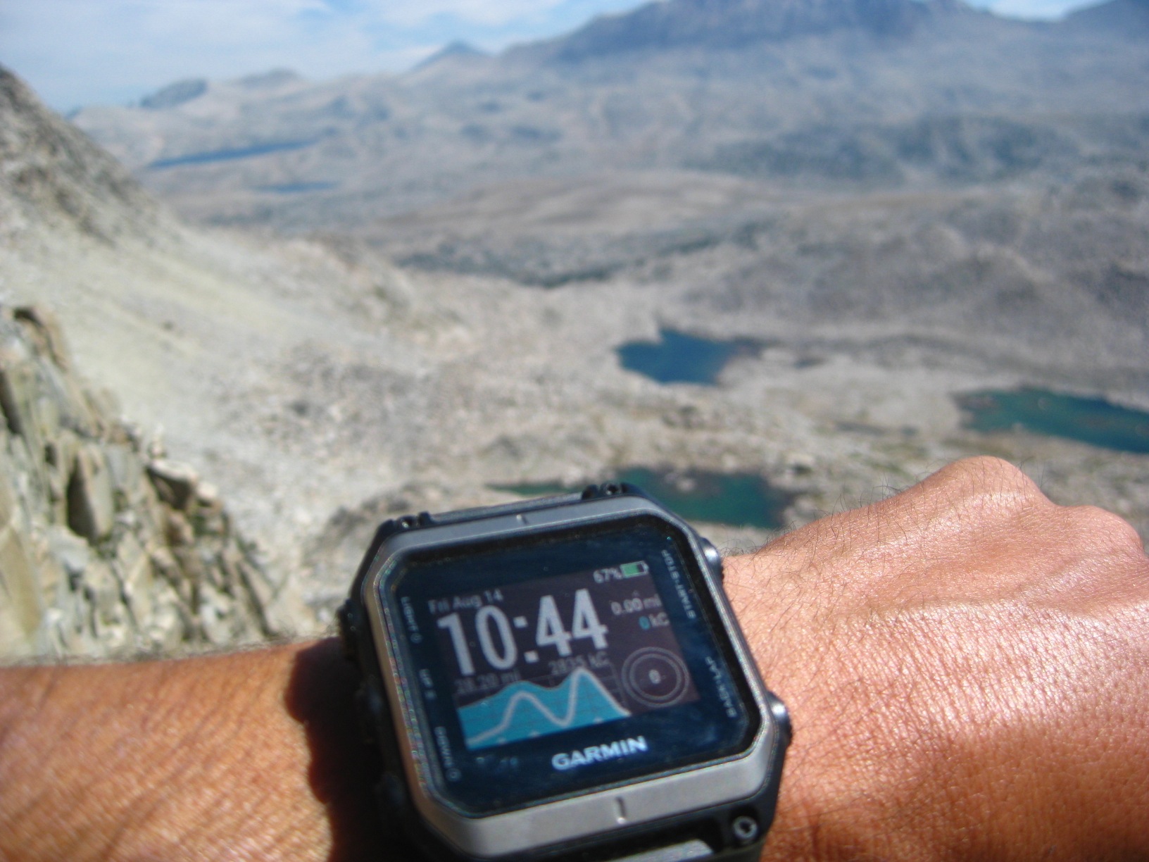
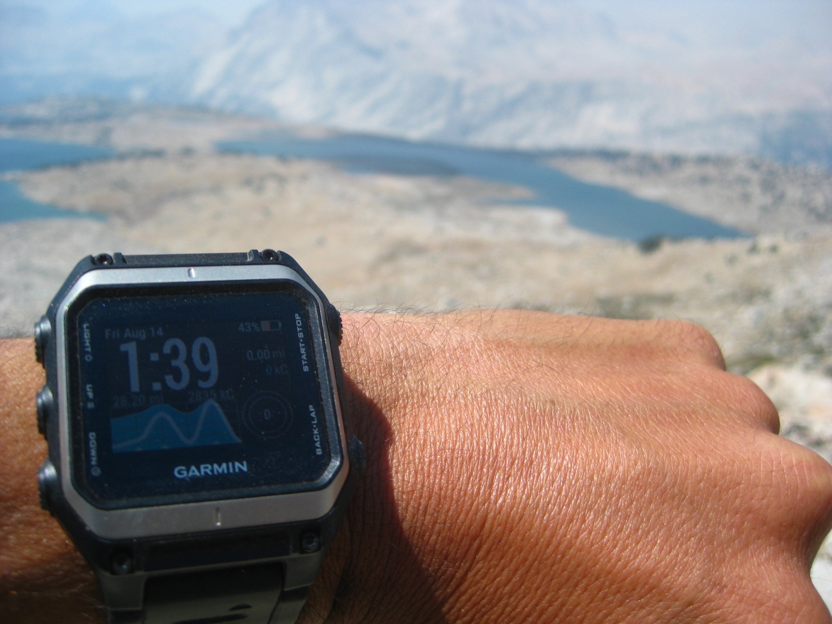
- Time Check on Snow Tongue Pass
-
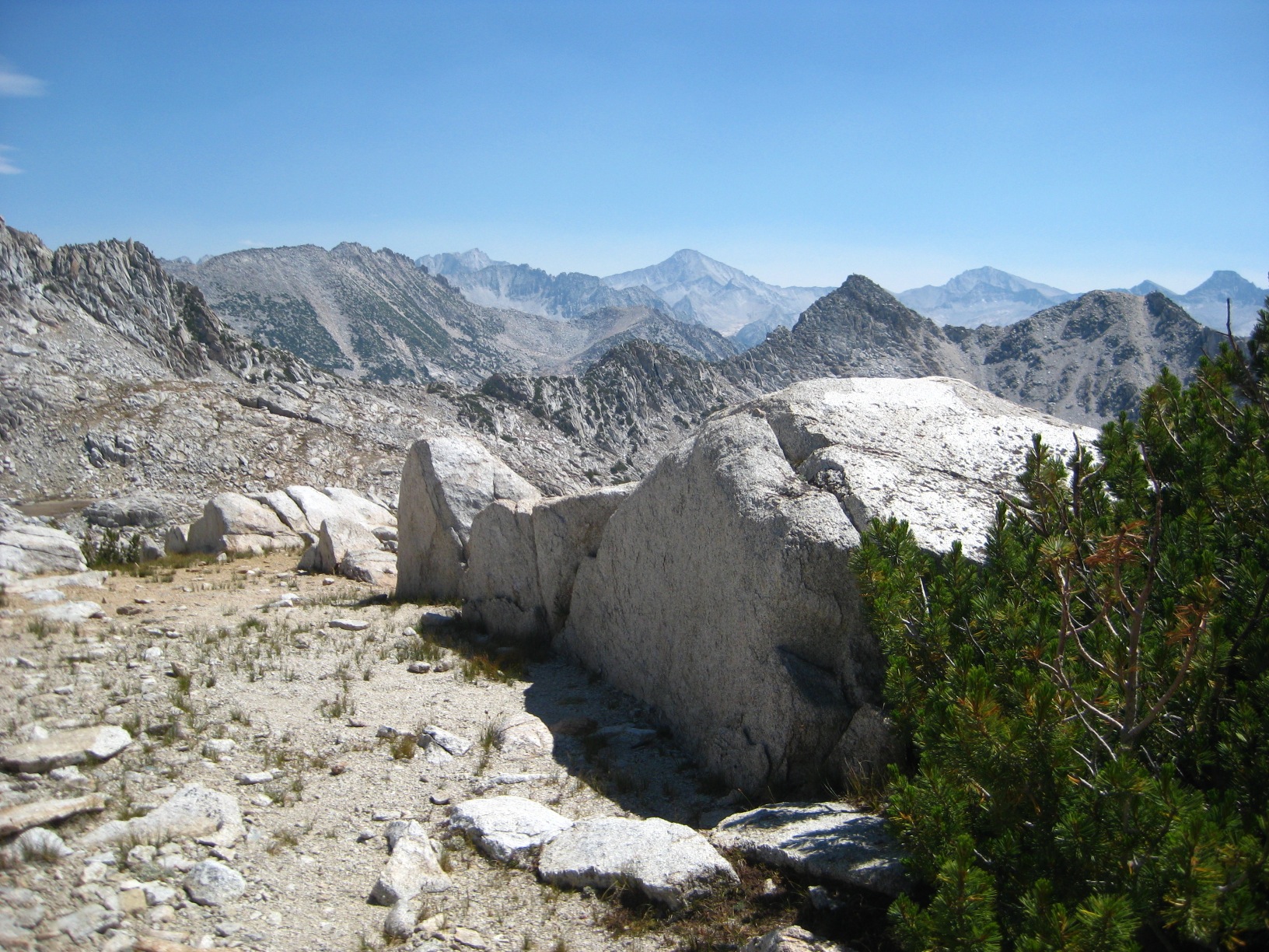
- Looking down to Humphreys Basin
-
- Mesa Lake
-
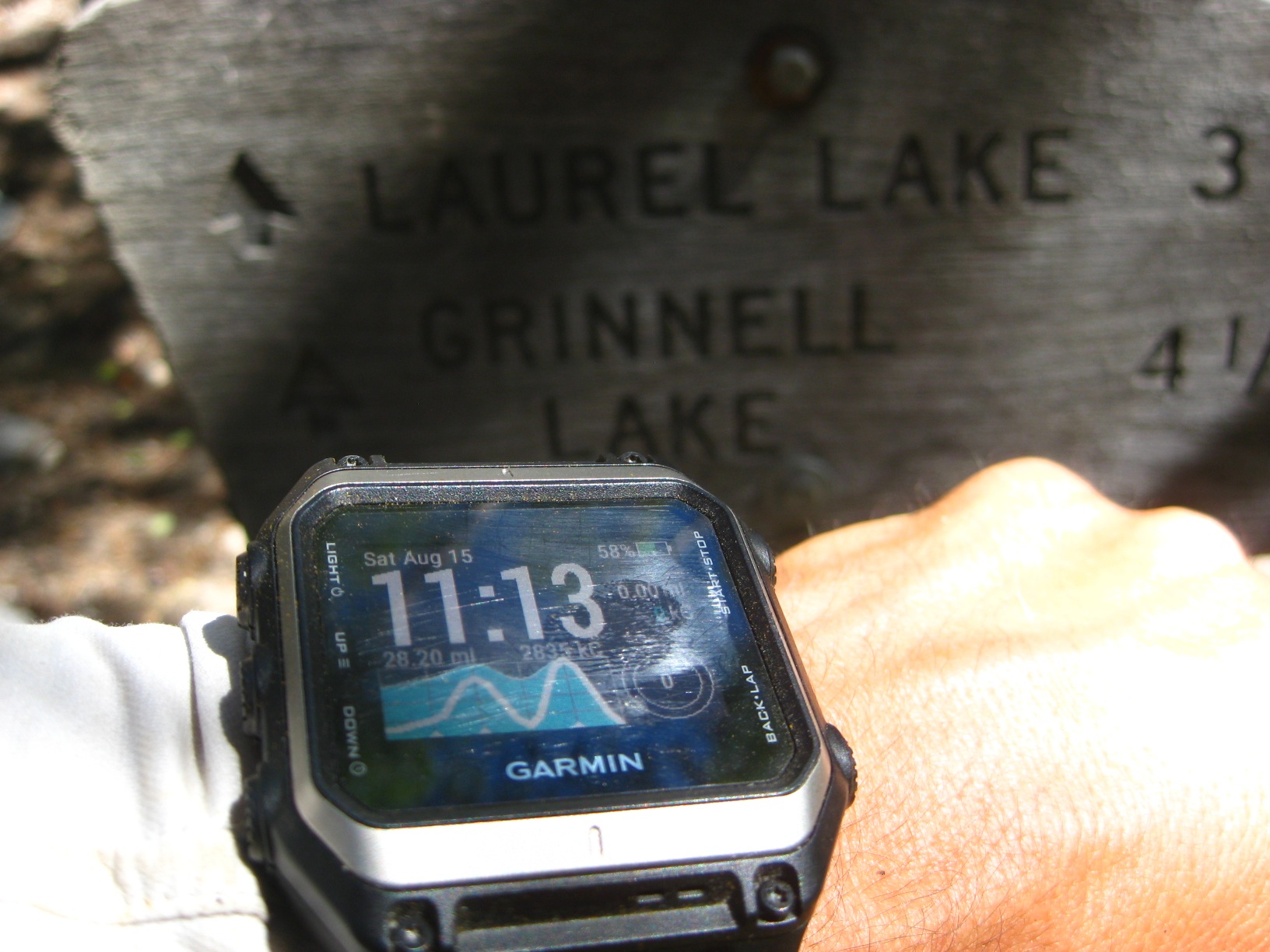
- Time Check at Puppet Pass
-
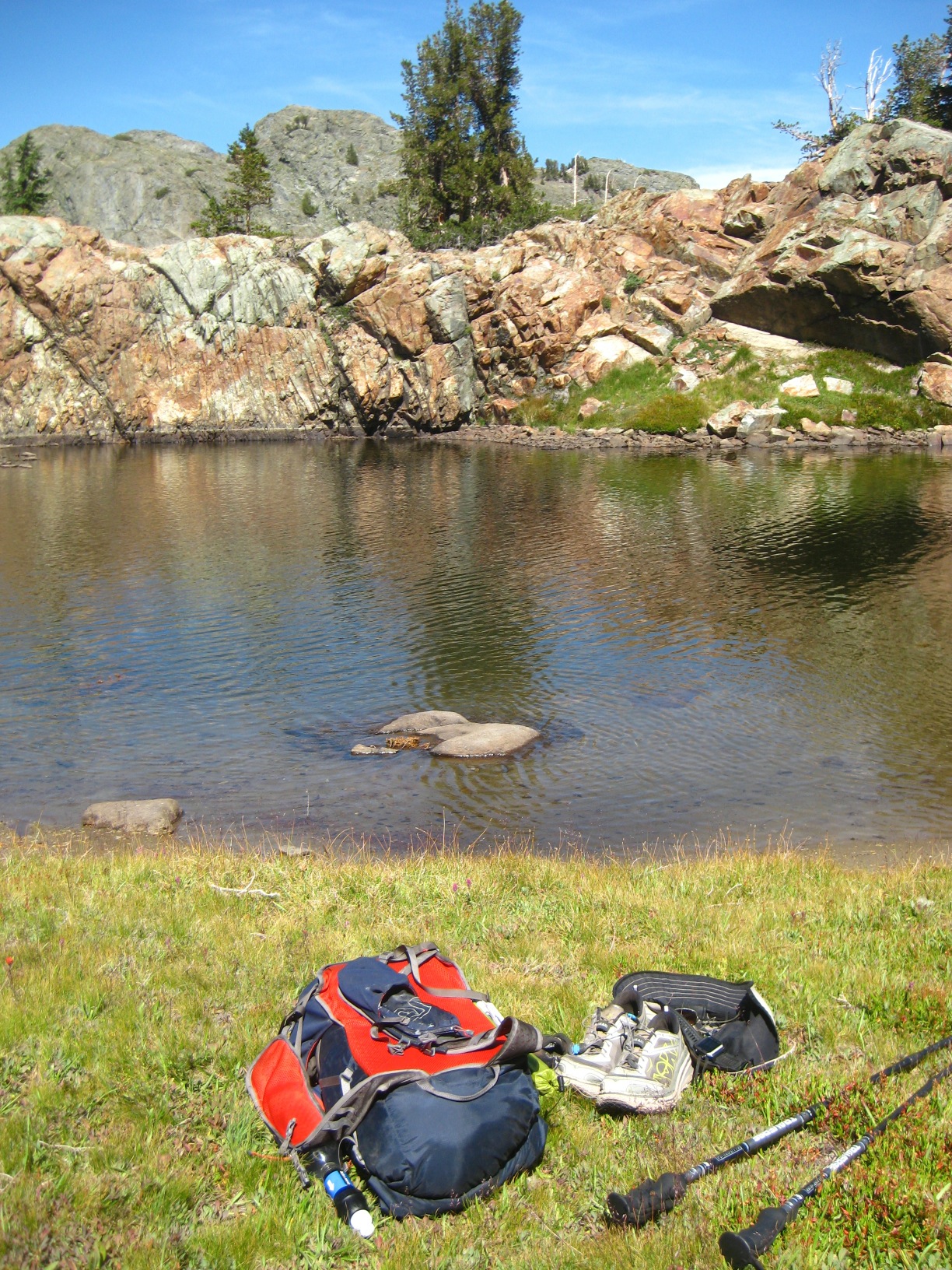
- Relaxing Swim at Puppet Lake
-
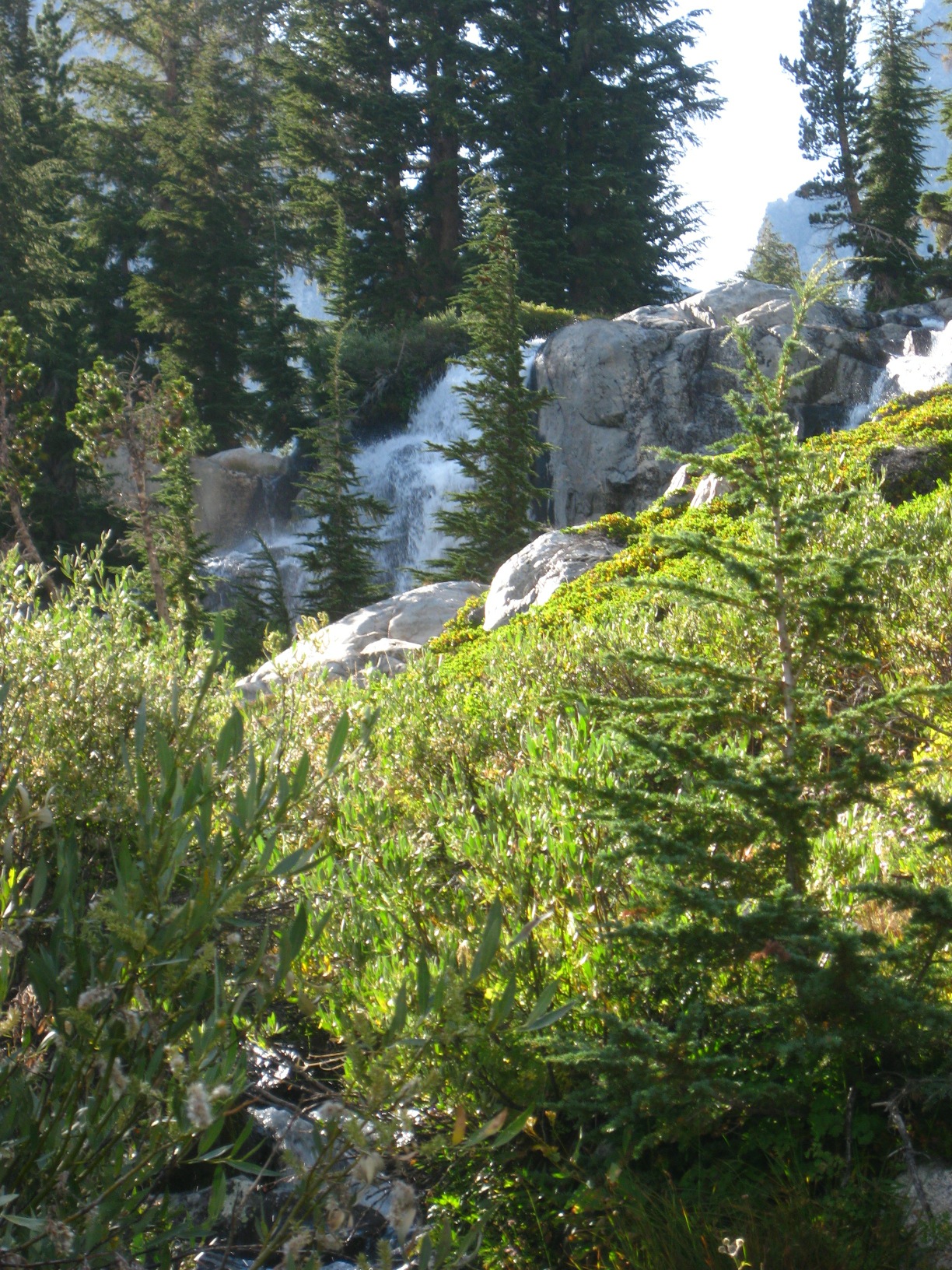
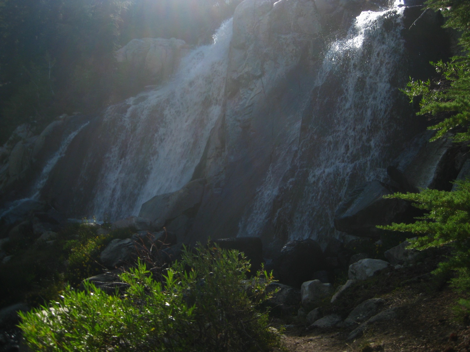
- Waterfalls at French Canyon
-
- Time to climb to Merriam Lake
-
- Exciting Terrain below Merriam Lake
-
- La Salle Lake
-
- Beautiful Feather Pass
-
- Feather Pass Tarn
-
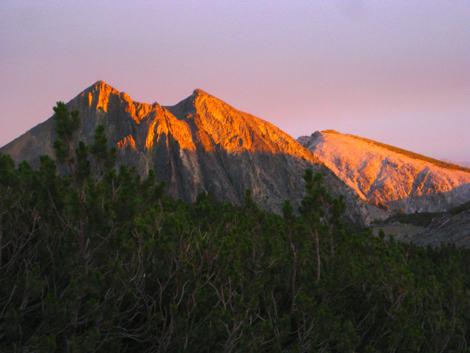
- Looking up to Feather Peak
-
- Above Bearpaw Lake
-
- Looking up to Feather Peak
-
- Bearpaw Lake
-
- Bearpaw Lake
-
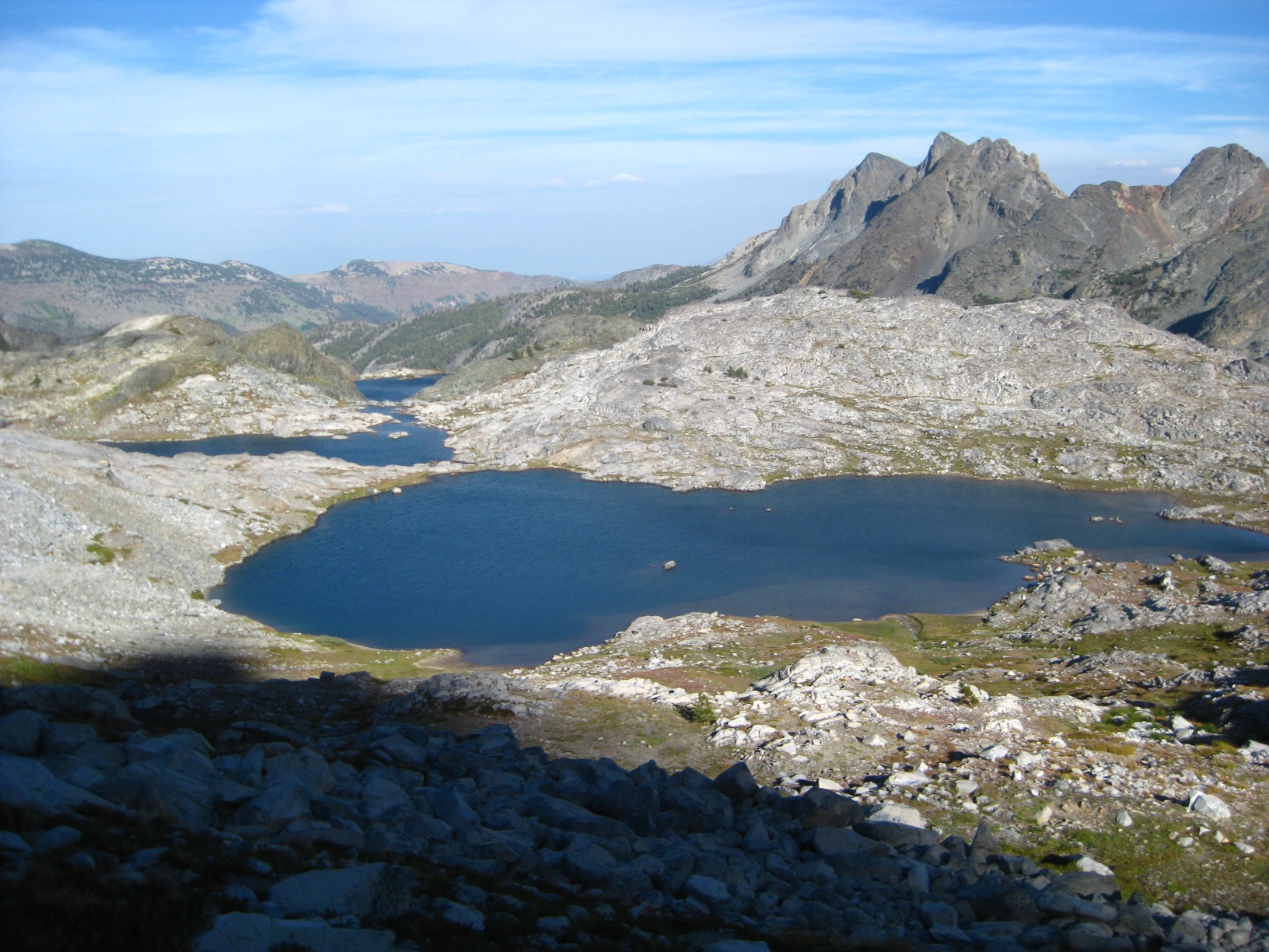
- Ursa Lake
-
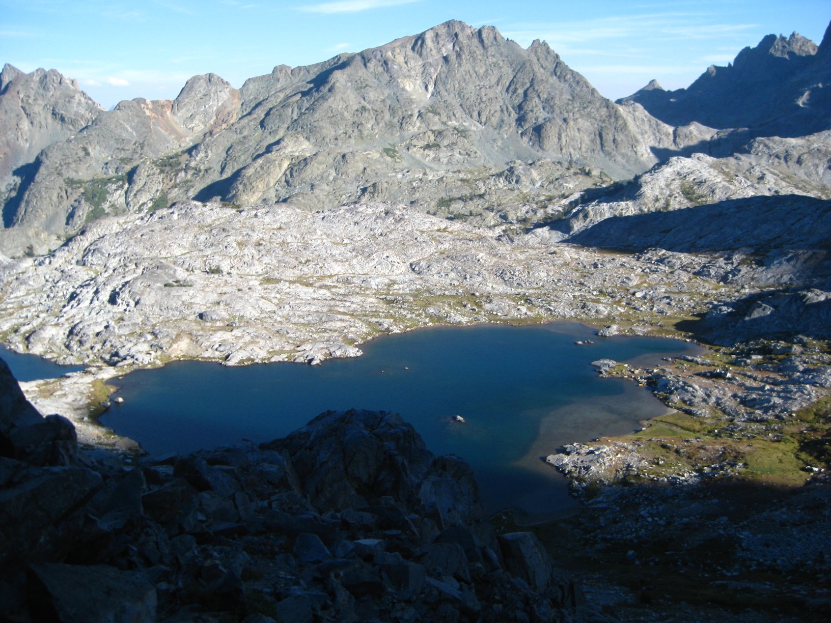
- Big Bear Lake
-
- Black Bear Lake
-
- Black Bear Lake
-
- White Bear Lake
-
- Looking up the pass
-
- Brown Bear Lake
-
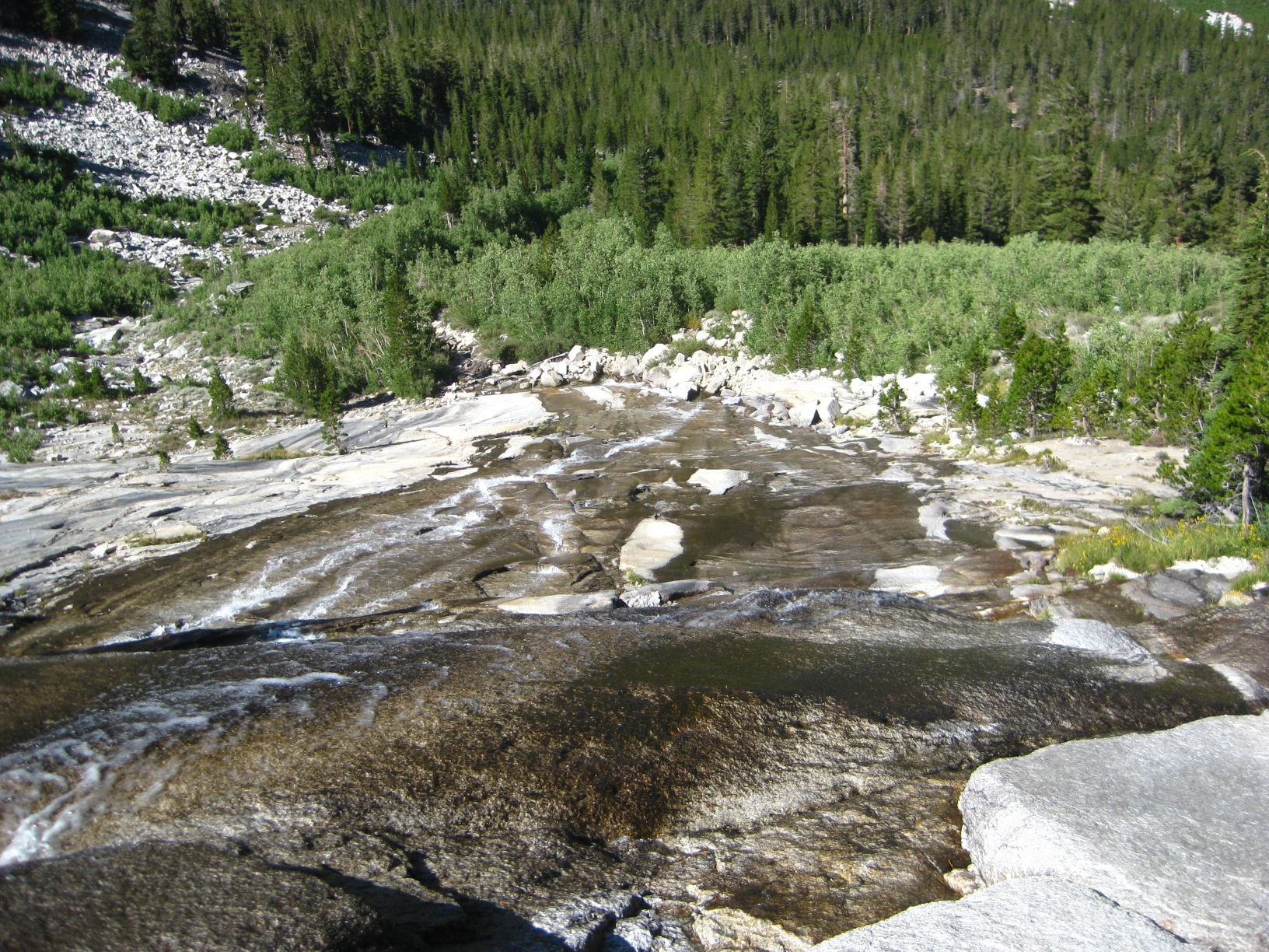
- Hilgard Branch
-
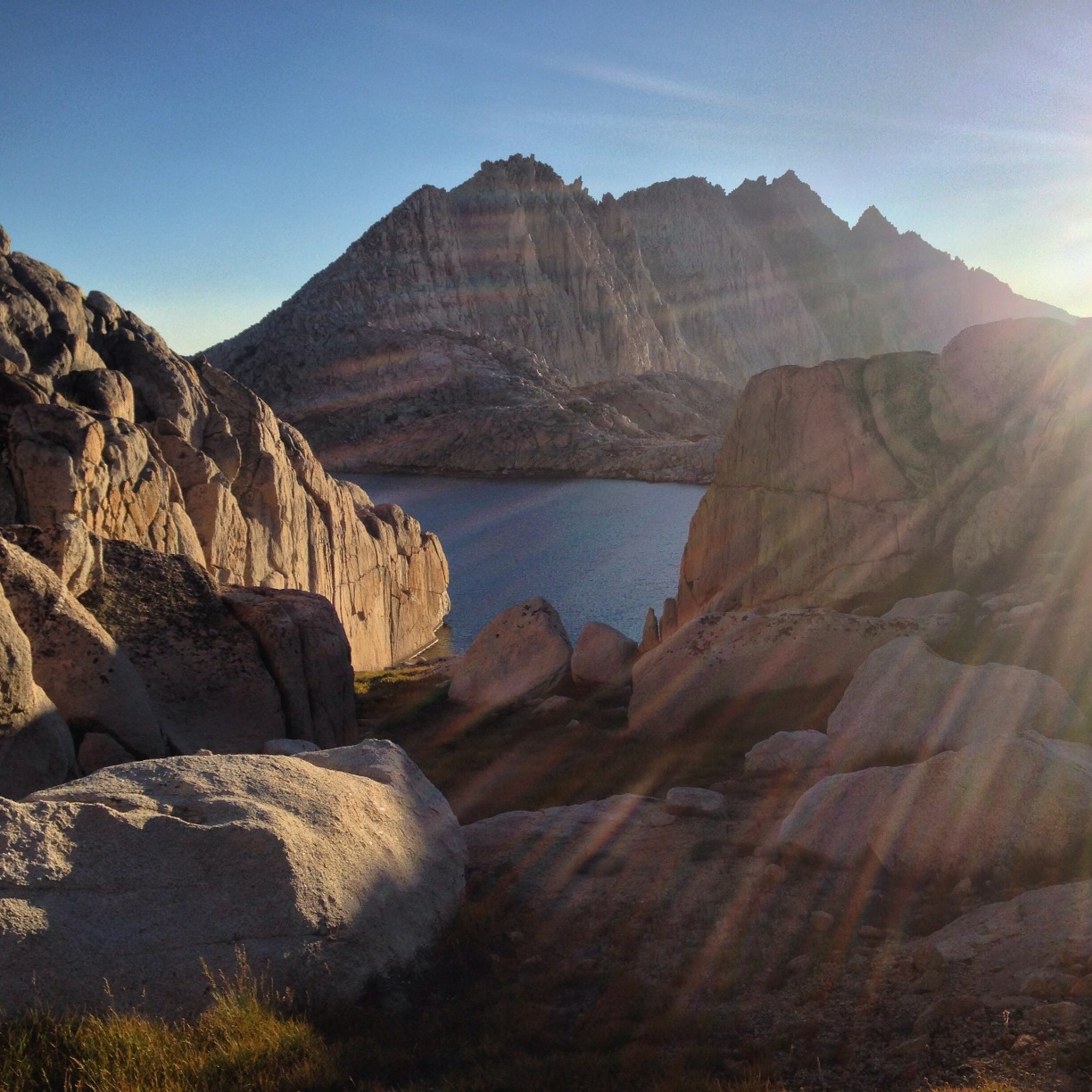
- Approaching Lake Italy
-
- Lake Italy
-
- Lake Italy
-
- Gabbot Pass
-
- Gabbot Pass
-
- Gabbot Pass
-
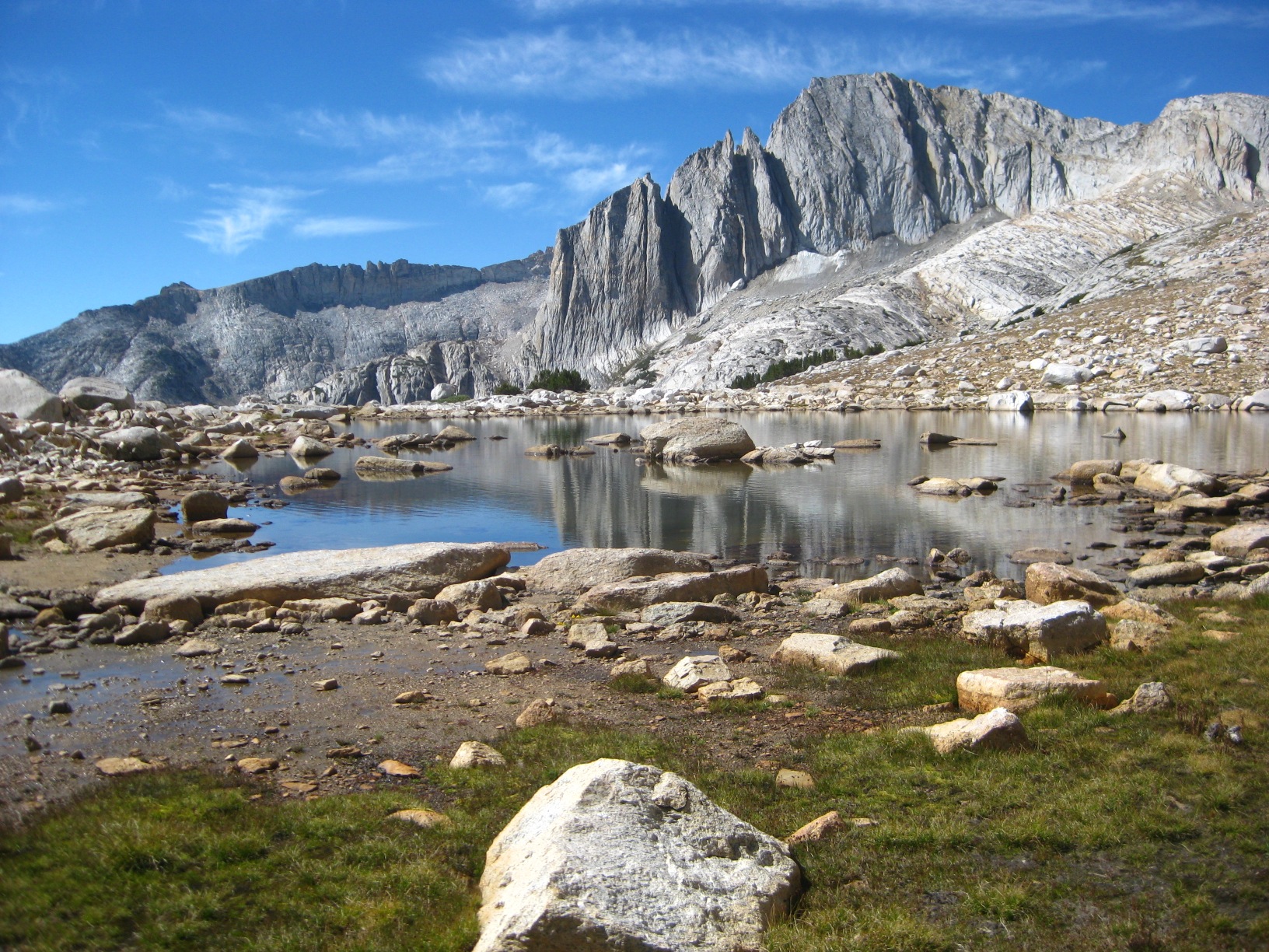
- Tarn Above Upper Mills Creek Lake
-
- Lower Mills Creek Lake
-
- From Mills Creek Basin
-
- From Mills Creek Basin
-
- Mills Creek Drainiage
-
- Trail at Mono Creek
-
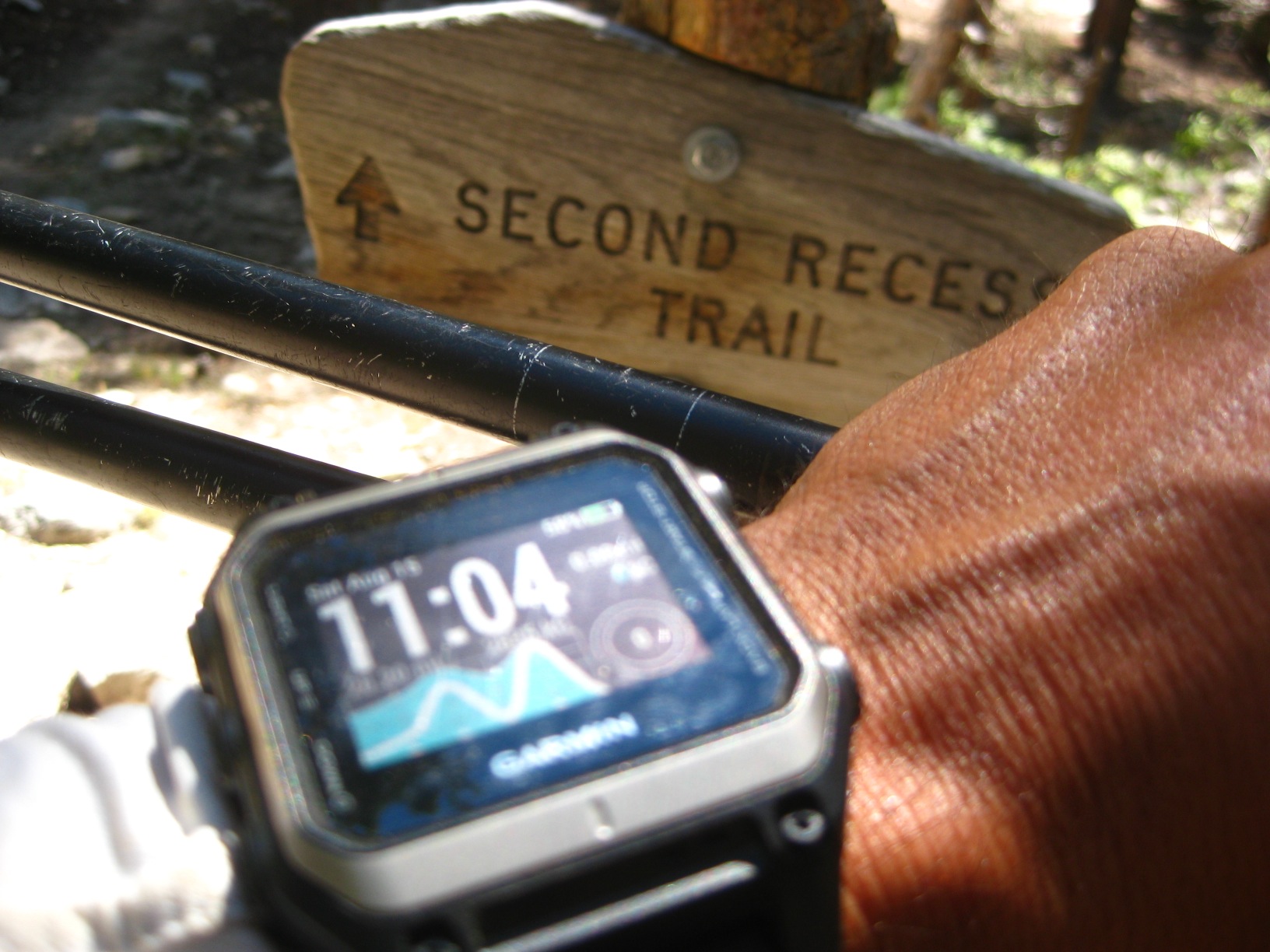
- Time to ascend the remote Laurel Creek Trail
-
- Looking up to Laurel Lake
-
- Looking up to Laurel Lake
-
- Looking up to Laurel Lake
-
- Looking up to Laurel Lake
-
- Lovely Laurel Lake!
-
- Lovely Laurel Lake!
-
- Lovely Laurel Lake!
-
- Looking back at Laurel Lake!
-
- Rosy Finch Lake
-
- Time check at Silver Divide
-
- Silver Divide
-
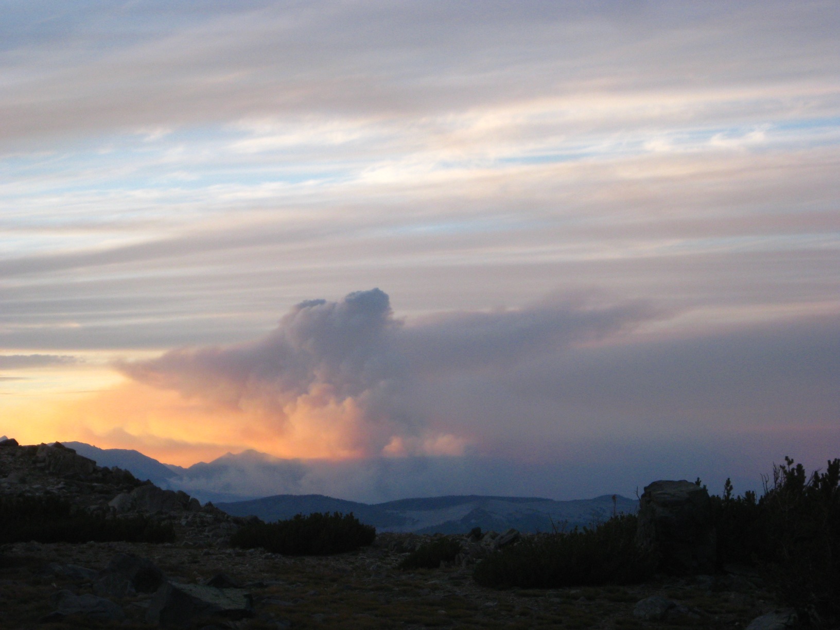
- Fire behind Red Slate Mountain
-
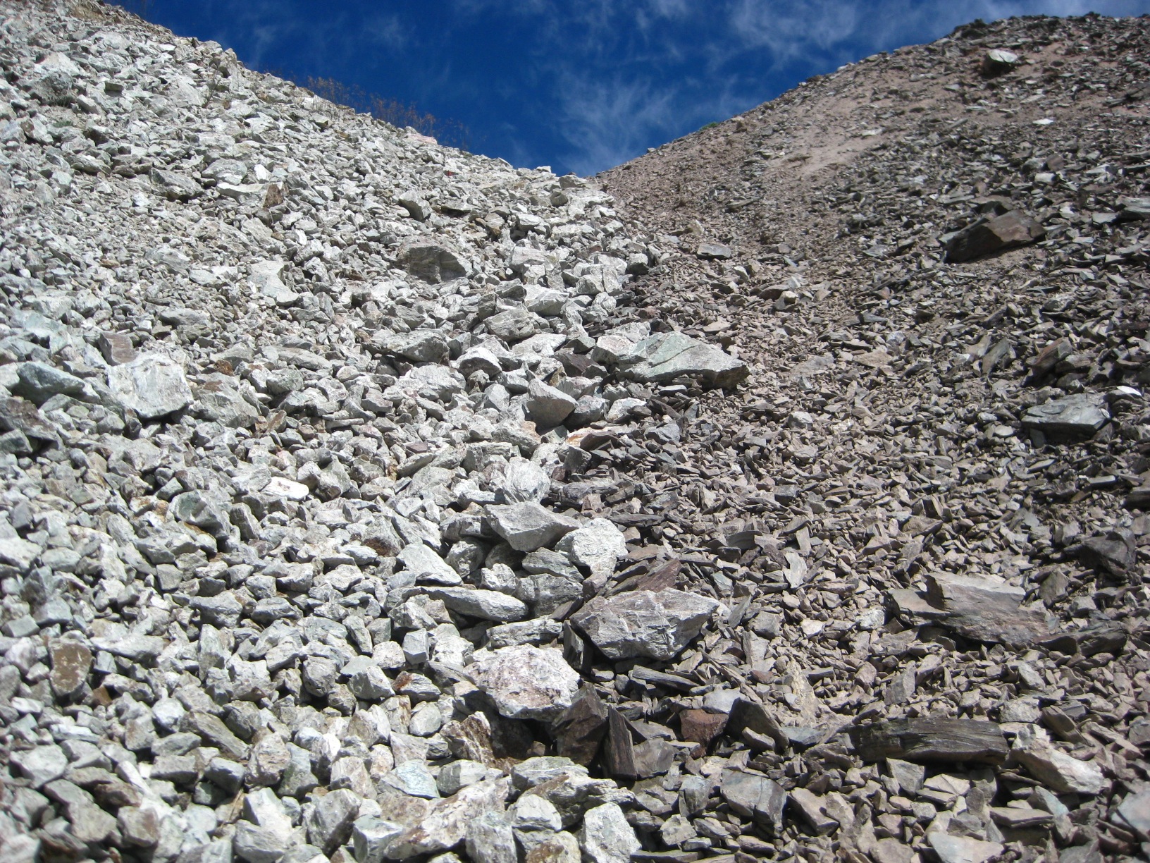
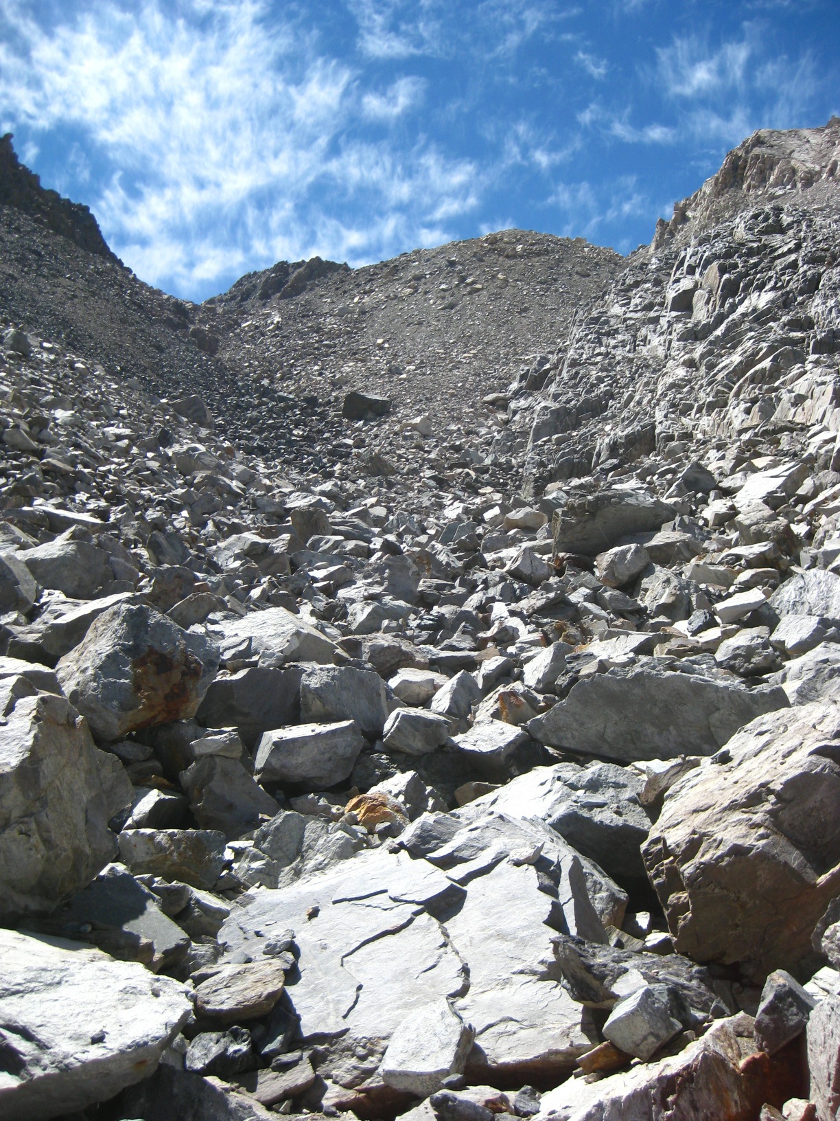
- Rocks
-
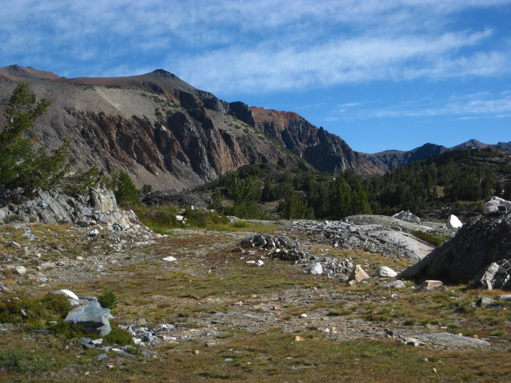
- Near Tully Lake
-
- Near Tully Lake
-
- Near Tully Lake
-
- Red Slate Mountain
-
- Taken from Cotton Lake
-
- Tarn above Izaak Walton Lake
-
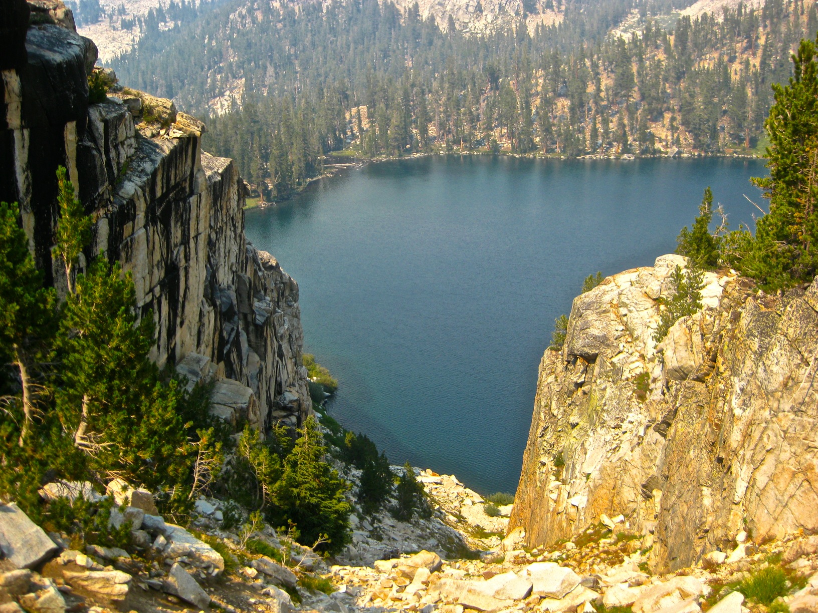
- Izaak Walton Lake
-
- Izaak Walton Lake
-
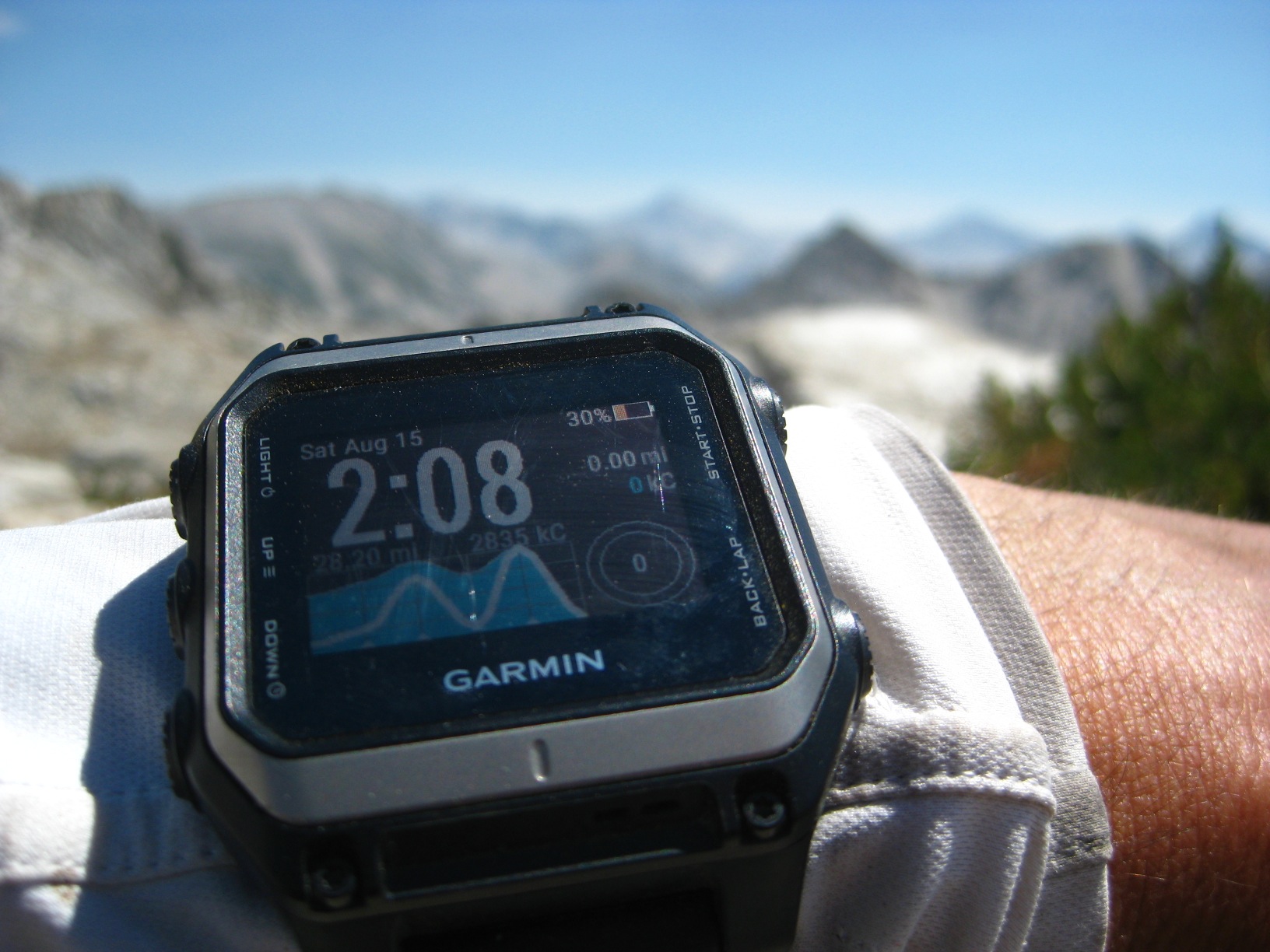
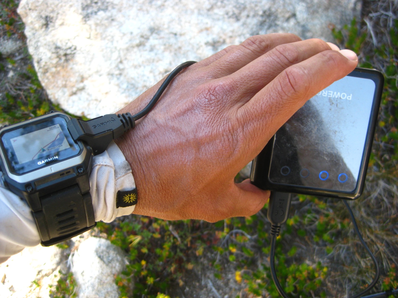
- Charging (again!)
-
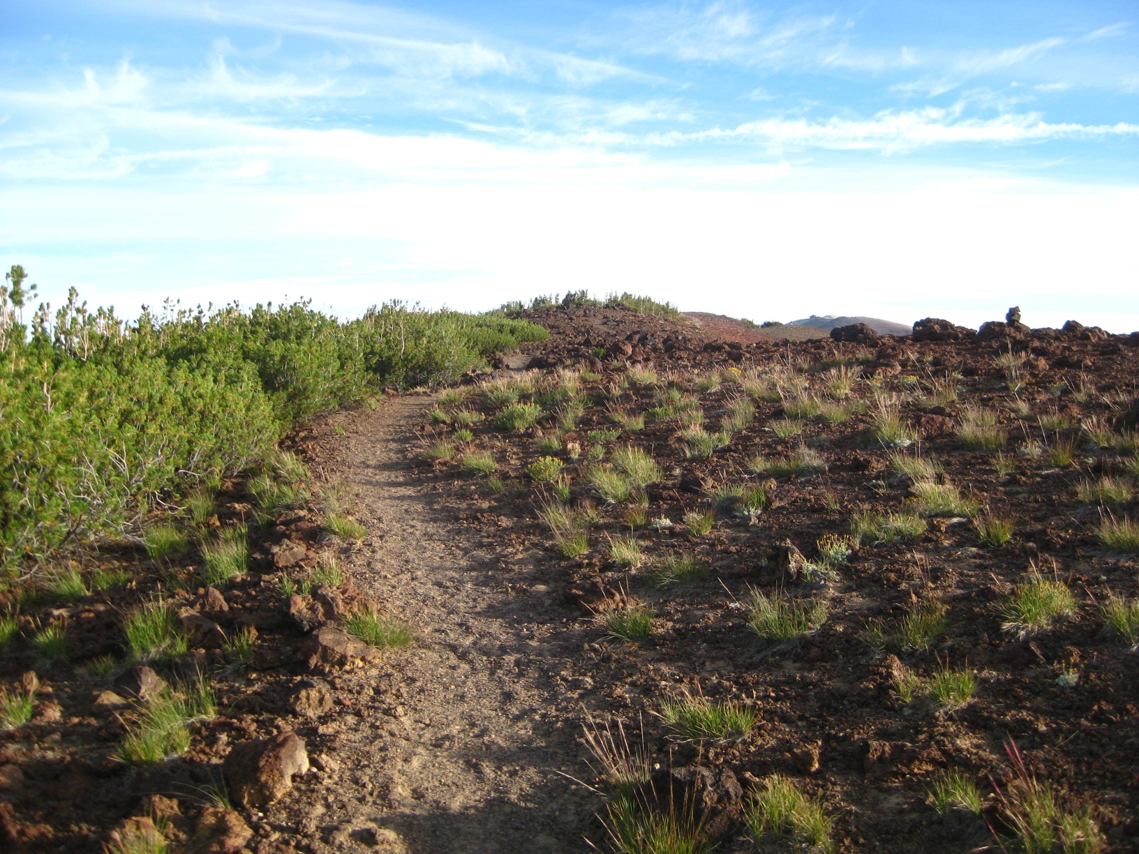
- Horse Heaven
-
- Climbing out of Tully Hole
-
- Lake Virginia
-
- Lake Virginia
-
- Lake Virginia
-
- Lake Virginia
-
- Going to Purple Lake
-
- Purple Lake
-
- Pacific Crest Trail
-
- Pacific Crest Trail
-
- Duck Lake
-
- Duck Lake
-
- Duck Lake
-
- Duck Lake
-
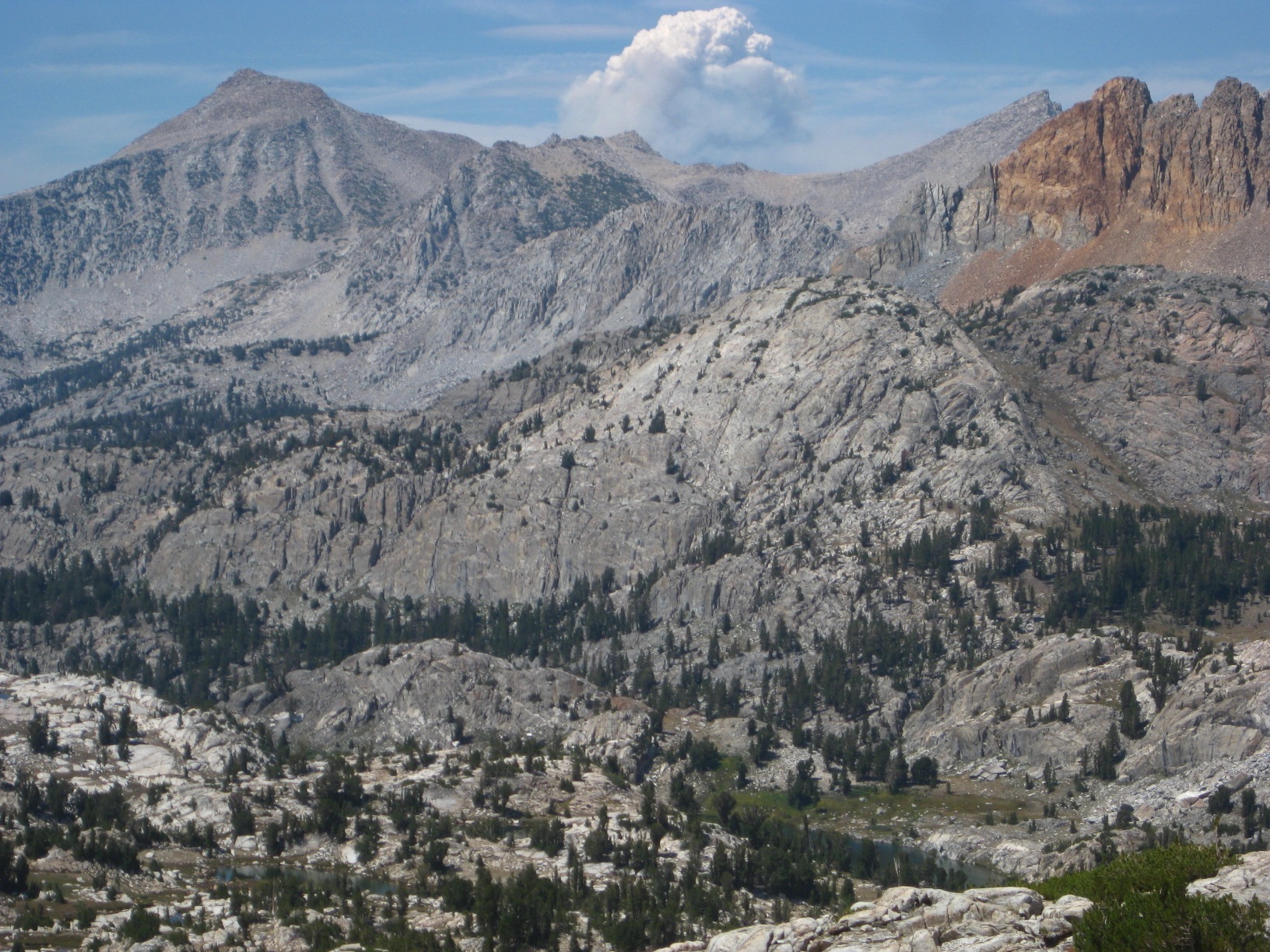
- Fire near Mammoth
-
- Sunset on the Mammoth Crest
-
- Sunset on the Mammoth Crest
-
- Sunset on the Mammoth Crest
-
- Sunset on the Mammoth Crest
-
- Deer Lake
-
- Sunrise on the Mammoth Crest
-
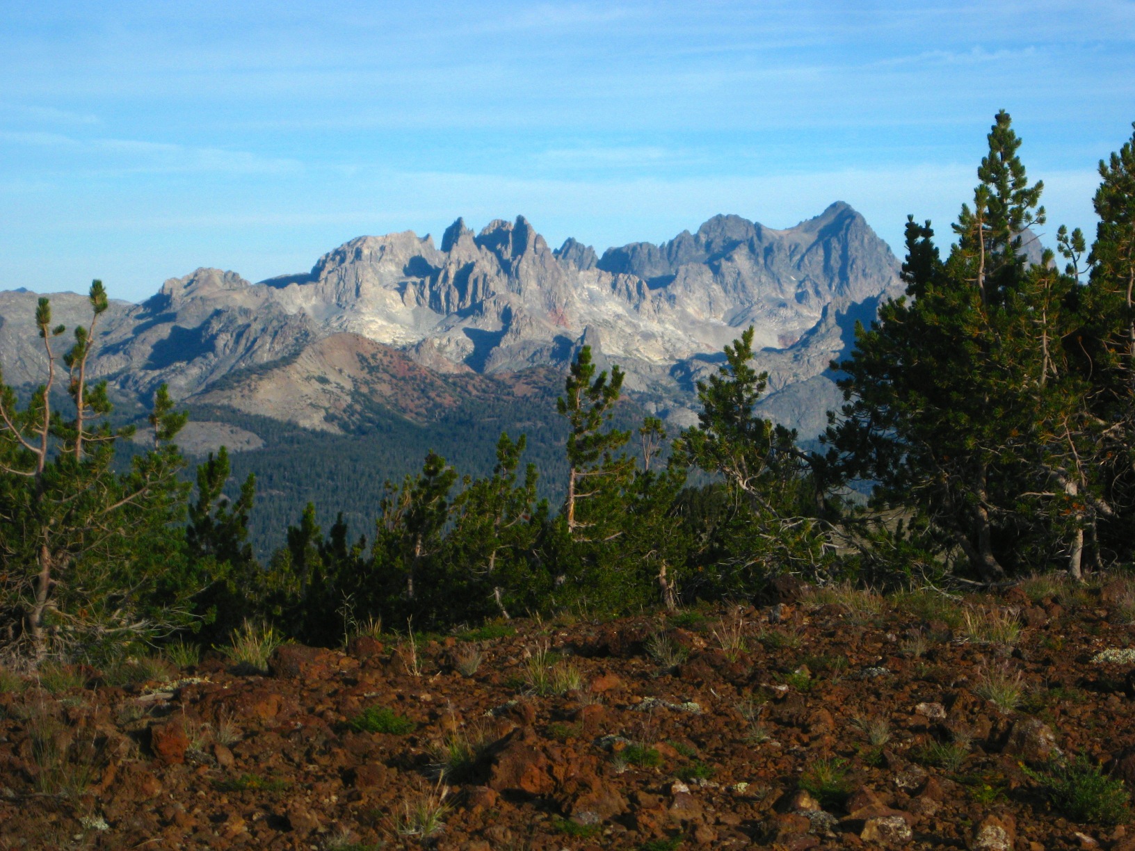
- Looking at Minarets
-
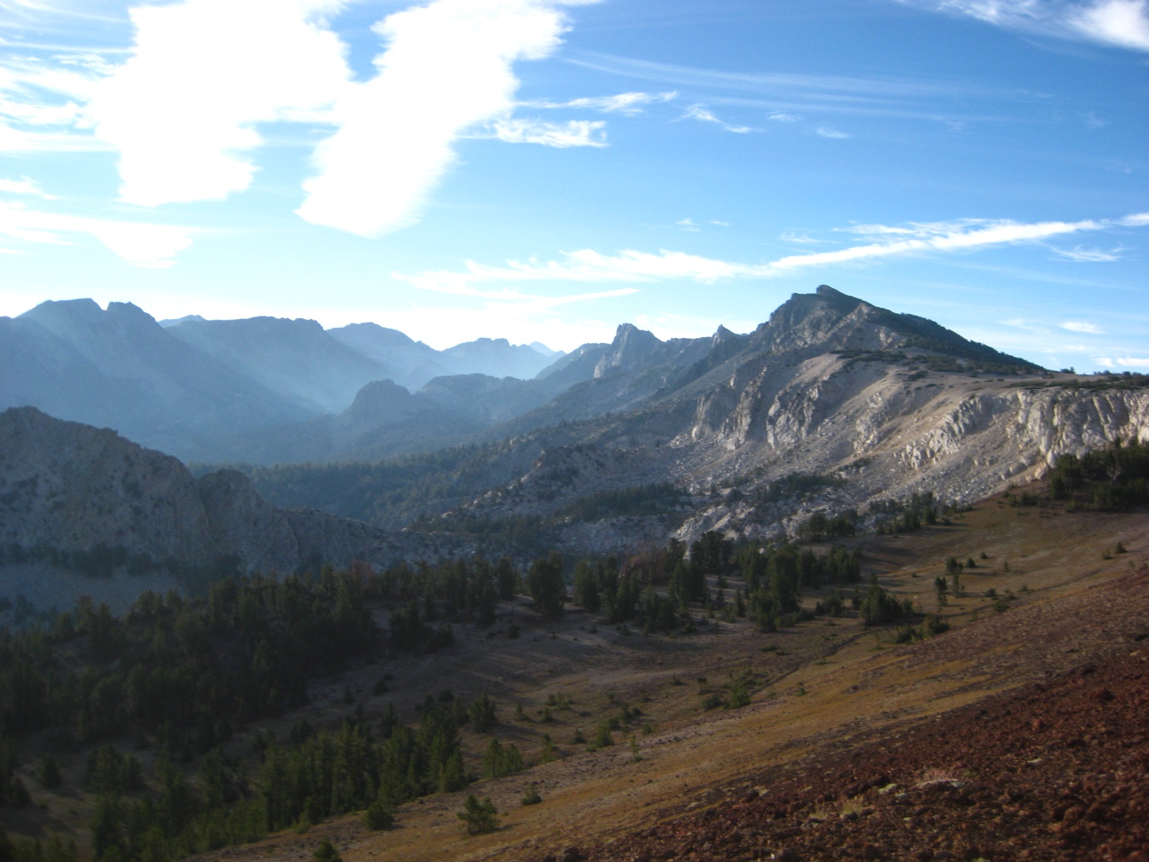
- Mammoth Crest
-
- Happy running on the Mammoth Crest!
-
- Minarets from Mammoth Crest
-
- Mammoth Crest
-
- Mammoth Crest!
-
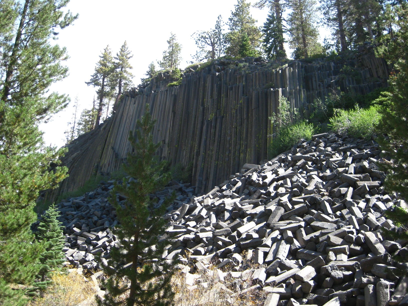
- Devils Postpile
-
- Nancy Pass
-
- Nancy Pass
-
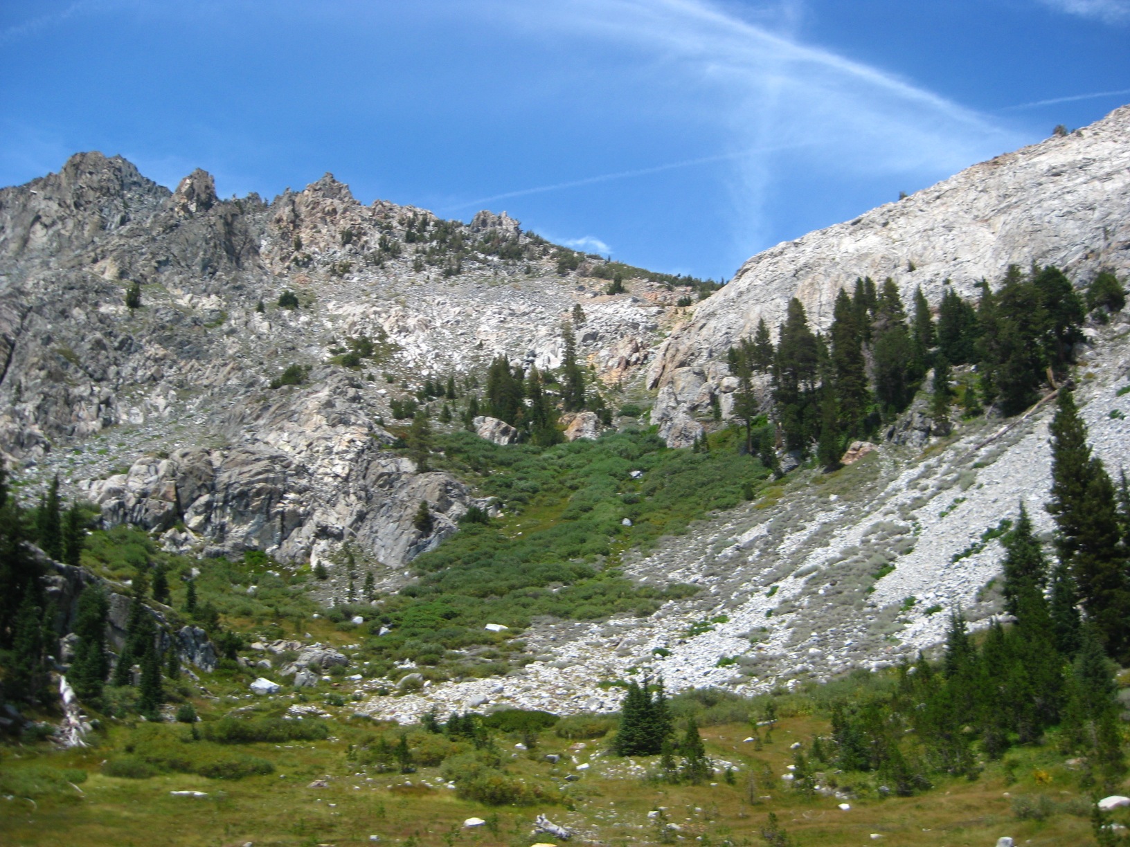
- Just below deadhorse Lake
-
- Near Minaret Lake
-
- Near Minaret Lake
-
- Swim in tarn near Minaret Lake
-
- Minaret Lake
-
- Near Minaret Lake
-
- Near Minaret Lake
-
- Minarete
-
- Minaret Lake
-
- Cecile Lake
-
- Cecile Lake

-
- Iceberg Lake
-
- Iceberg Lake
-
- Iceberg Lake
-
- Brief trail towards Ediza Lake
-
- Above Ediza Lake
-
- Above Ediza Lake
-
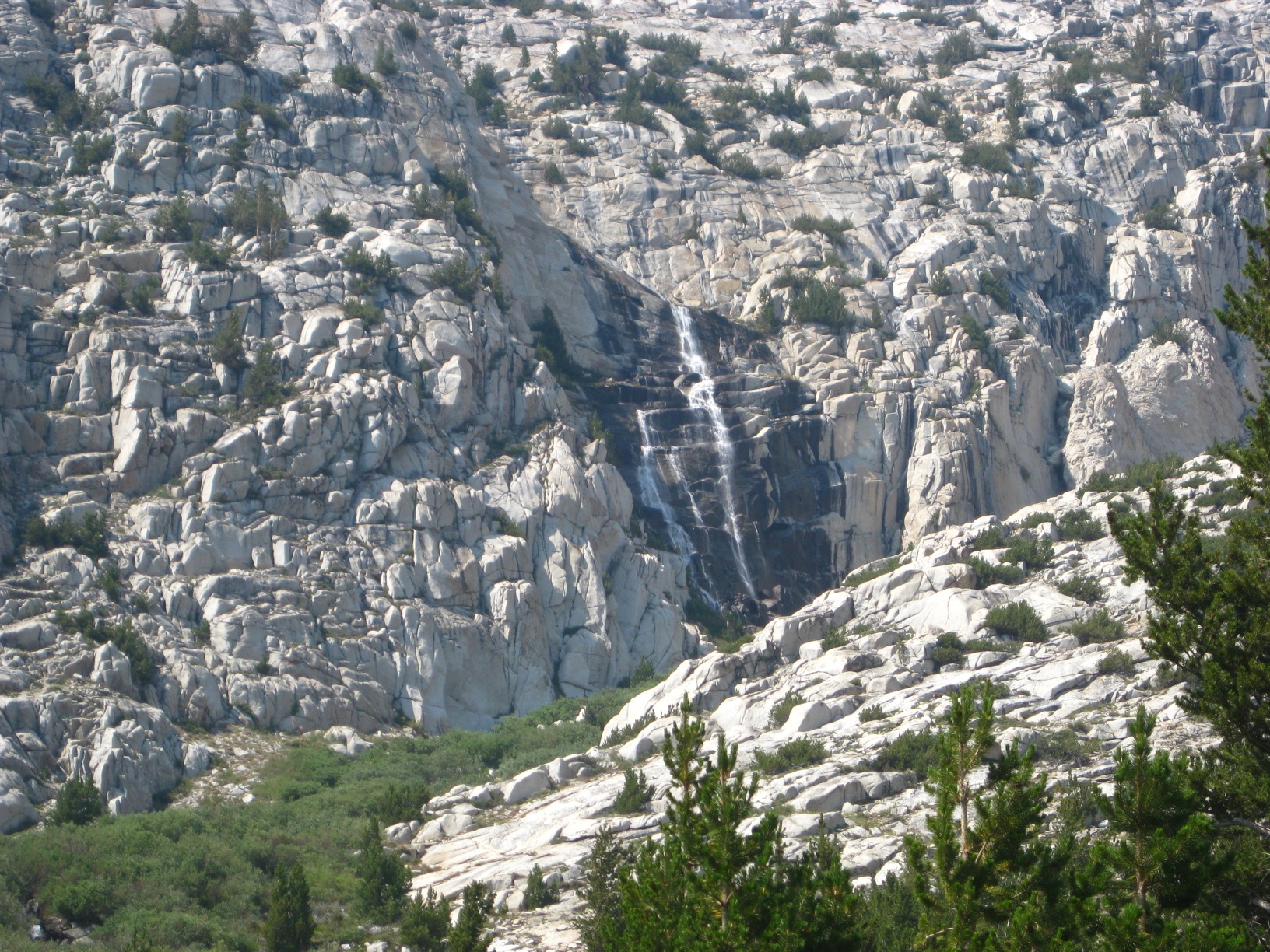
- Falls draining towards Ediza
-
- Falls draining towards Ediza
-
- Nydiver Lakes
-
- Nydiver Lakes
-
- Thousand Island Lake
-
- Lake Catherine (love this spot!)
-
- Below Ritter
-
- Camp above cliffs below Ritter Lakes
-
- Taking a break from cliff climbs
-
- Twin Island Lakes
-
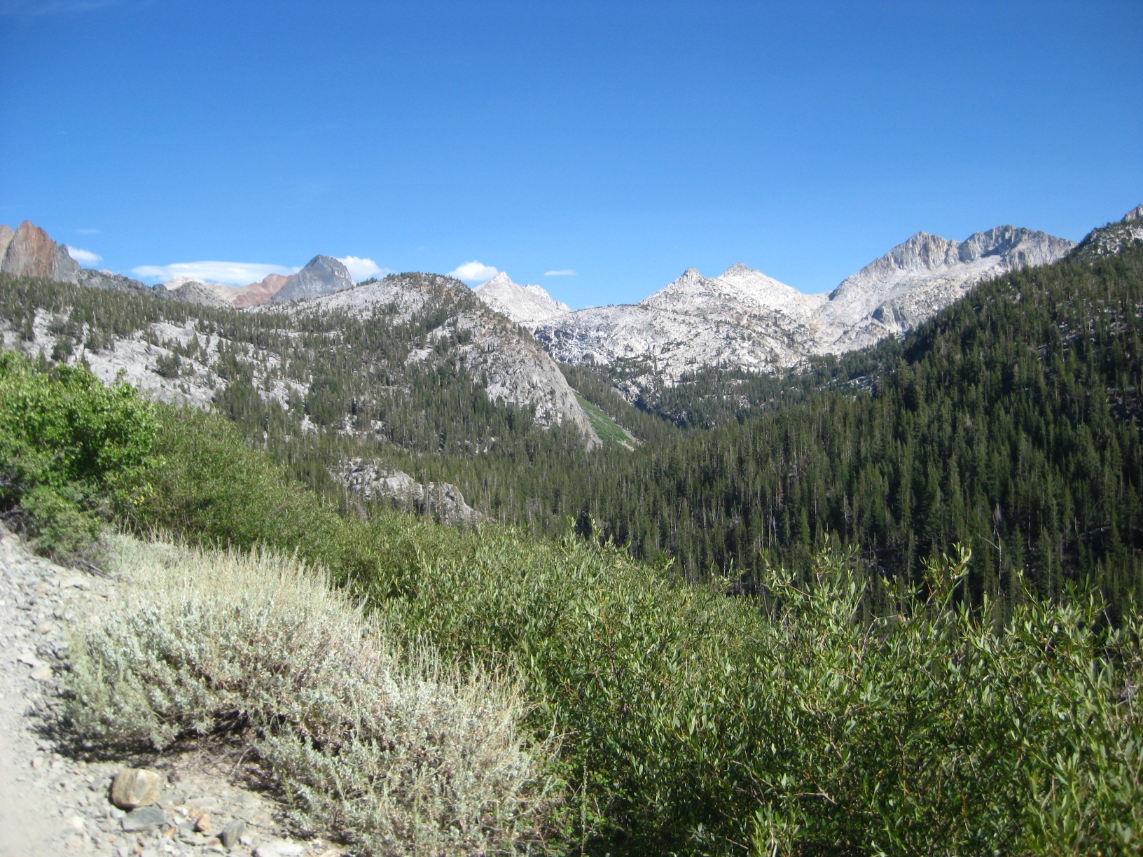
- North Fork San Joaquin Canyon
-
- Twin Island Lakes
-
- Twin Island Lakes
-
- Tarn West of Twin Island Lakes
-
- Tarn West of Twin Island Lakes
-
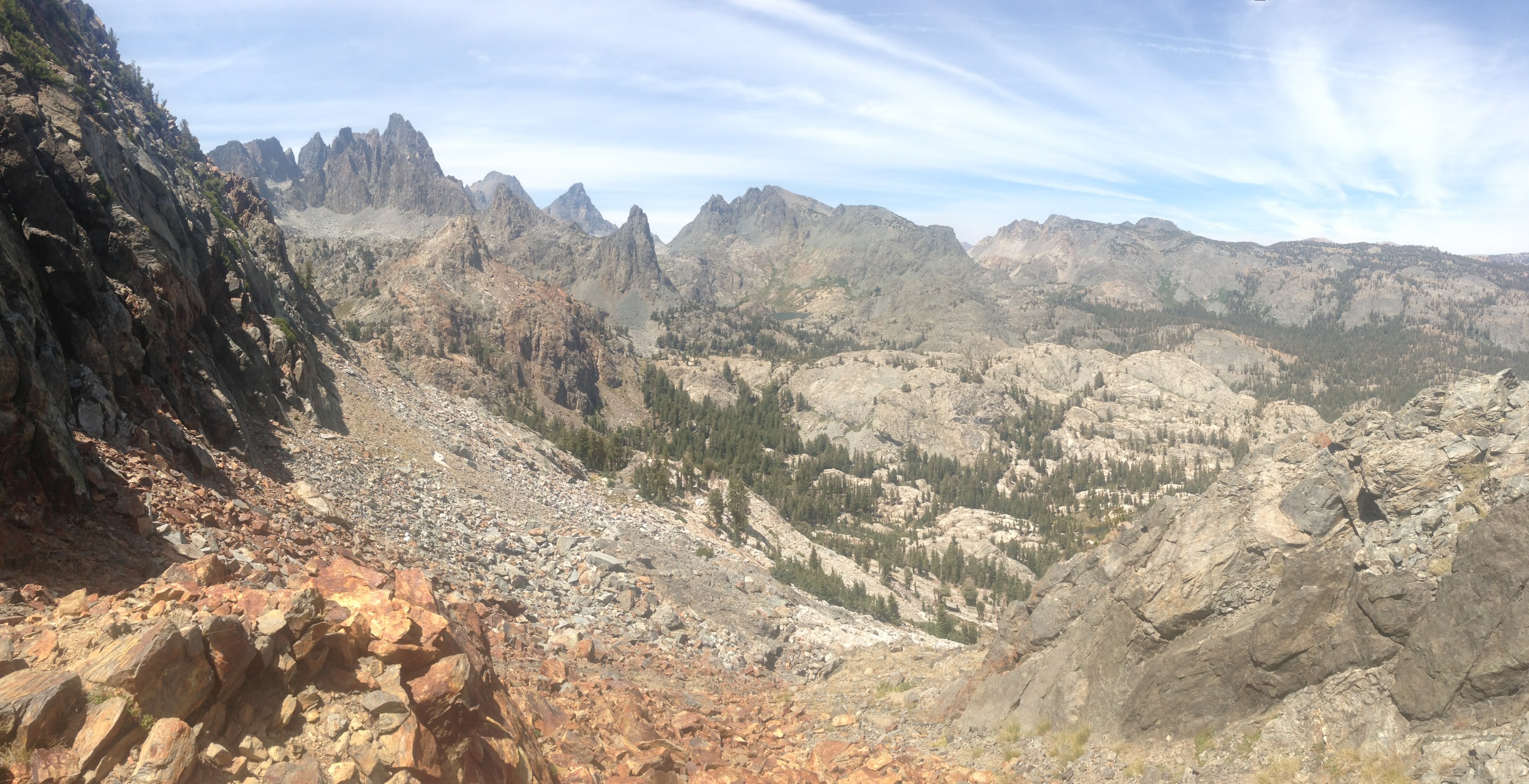
- Above Bench Canyon
-
- Bench Canyon
-
- Bench Canyon
-
- Blue Lake
-
- Blue Lake
-
- Blue Lake
-
- Lake before getting on Isberg Pass Trail
-
- Boring Isberg Pass Trail
-
- Climbing Vogelsang Pass
-
- Vogelsang Pass trail
-
- Vogelsang Lake
-
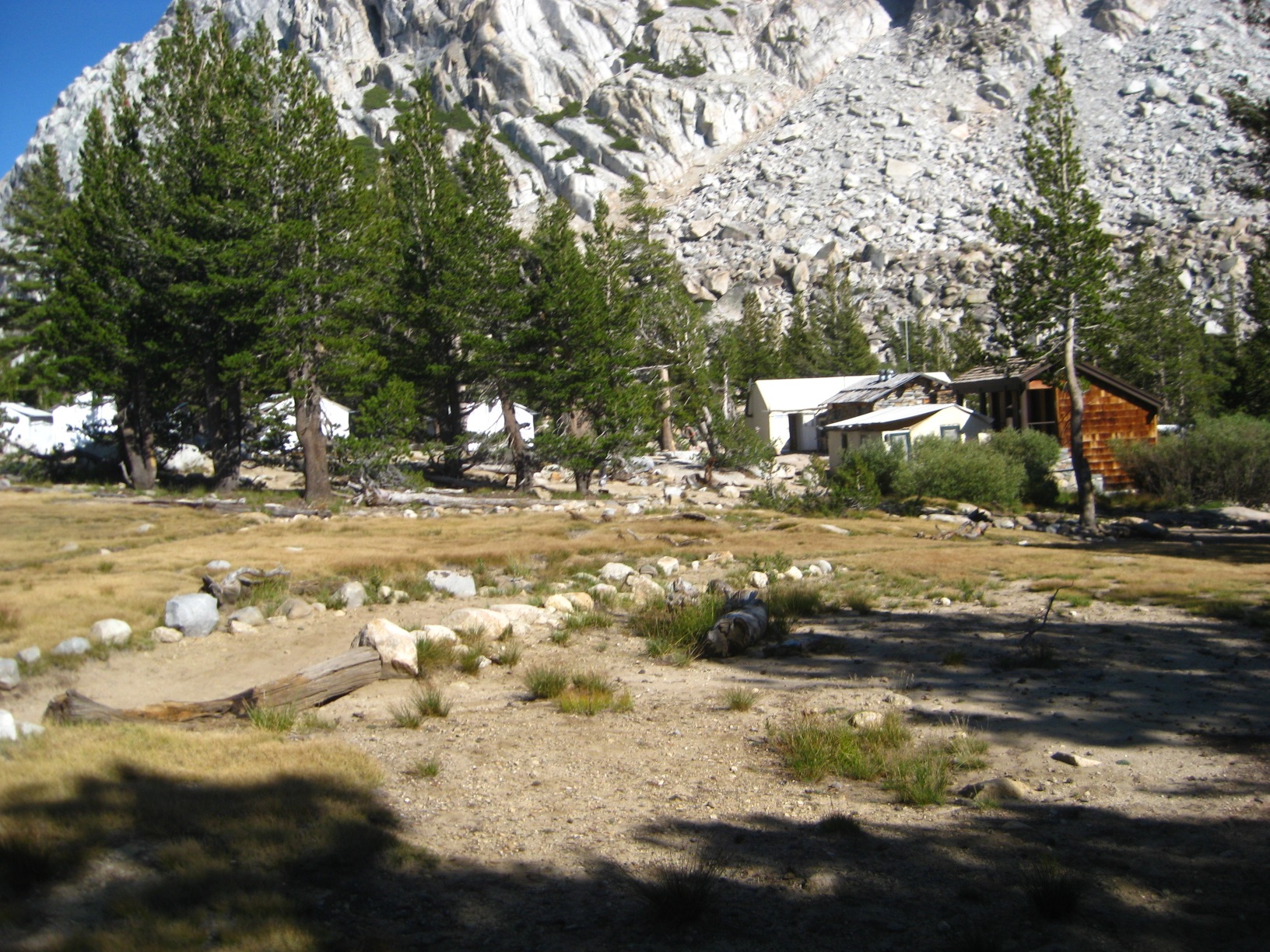
- Vogelsang High Sierra Camp
-
- Boring trail for next several miles.
-
- Lyell Fork of Tuolumne River
-
- Gaylor Lakes
-
- Gaylor Lakes
-
- Gaylor Lakes
-
- Gaylor Lakes
-
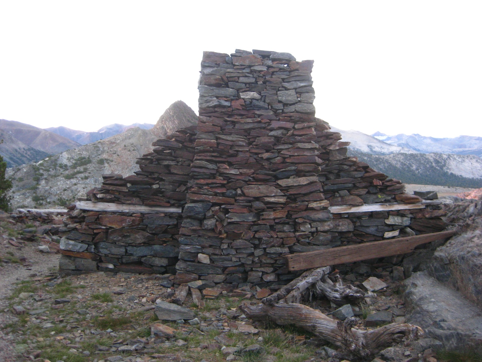
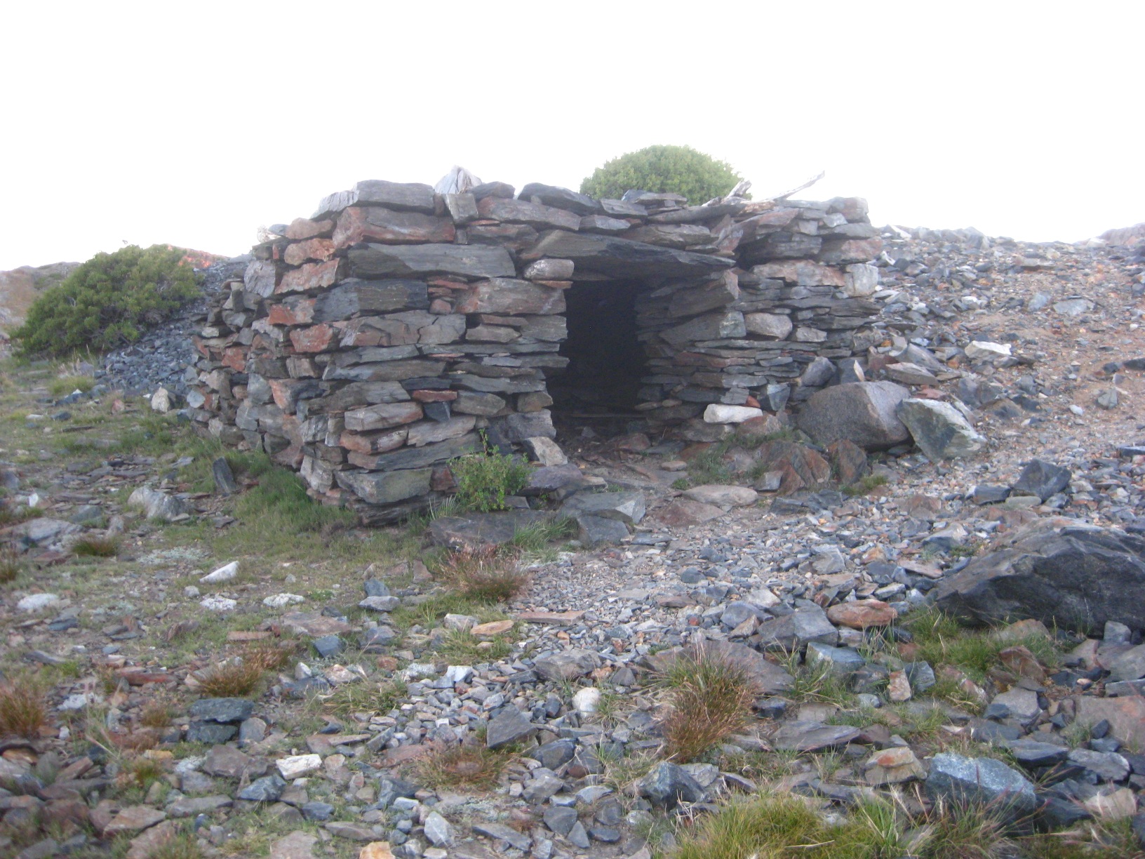
- Great Sierra Mine
-
- Great Sierra Mine
-
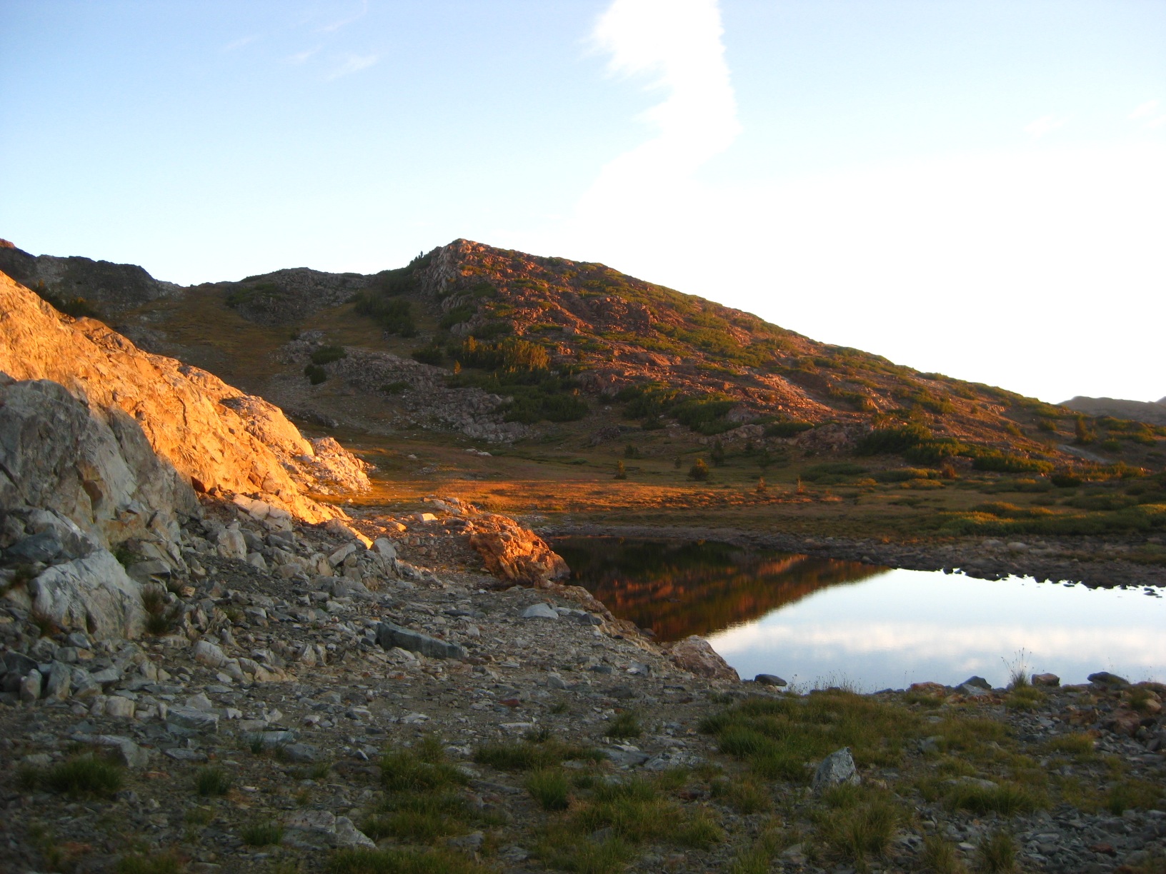
- Tarn above Gaylor Lakes
-
- Tarn above Gaylor Lakes
-
- Tarn above Gaylor Lakes
-
- Above Fantail Lake
-
- Above Fantail Lake
-
- Spuller Lake
-
- Spuller Lake
-
- Spuller Lake
-
- Near Spuller Lake
-
- Spuller Lake
-
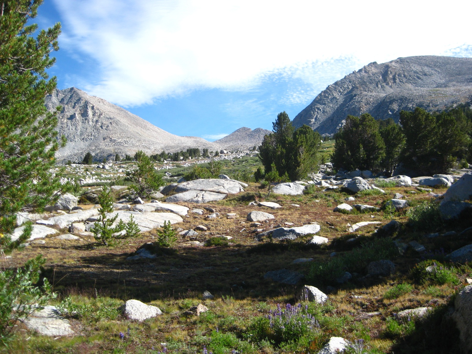
- Looking up
-
- Maul Lake
-
- While Climbing Mount Conness
-
- While Climbing Mount Conness
-
- While Climbing Mount Conness
-
- While Climbing Mount Conness
-
- Conness Lakes
-
- Conness Lakes
-
- Conness Lakes
-
- Greenstone and Saddlebag Lakes
-
- Poor routing near Wasco Lake
-
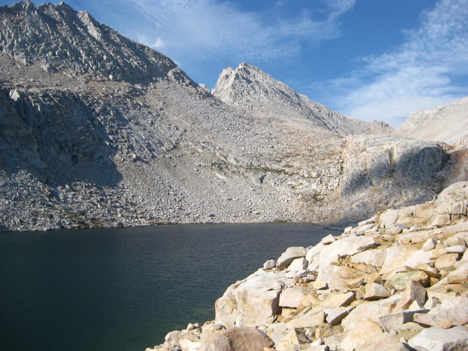
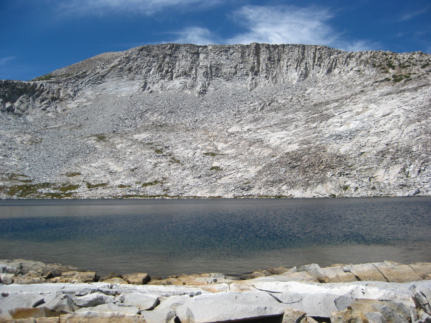
- Steelhead Lake
-
- Looking to North Peak
-
- Cascade Lake
-
- Sky Pilot Col
-
- Looking down Sky Pilot Col
-
- Sky Pilot Col
-
- Sky Pilot Col descent – crazy fun!
-
- Soldier Lake swim
-
- Soldier Lake
-
- Soldier Lake from Stanton Pass
-
- Spiller Creek valley
-
- Poor route finding on Horse Creek Pass
-
- Slip and Slide on Horse Creek Pass
-
- Looking up Horse Creek Pass
-
- Duck Lake
-
- Mammoth Crest Trail
-
- Deer Lakes
-
- White Bear Lake
-
- All the food left at Vogelsand Pass!
-
- Ice on Horse Creek Pass
-
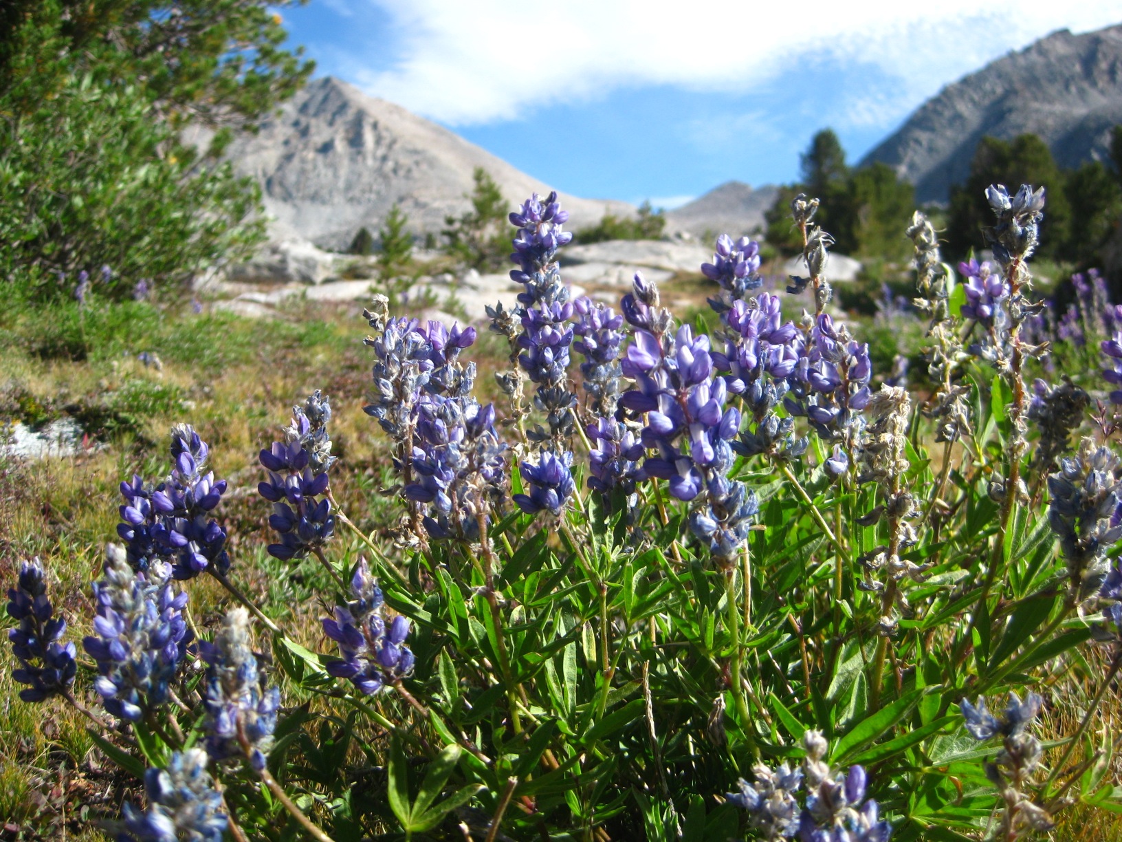
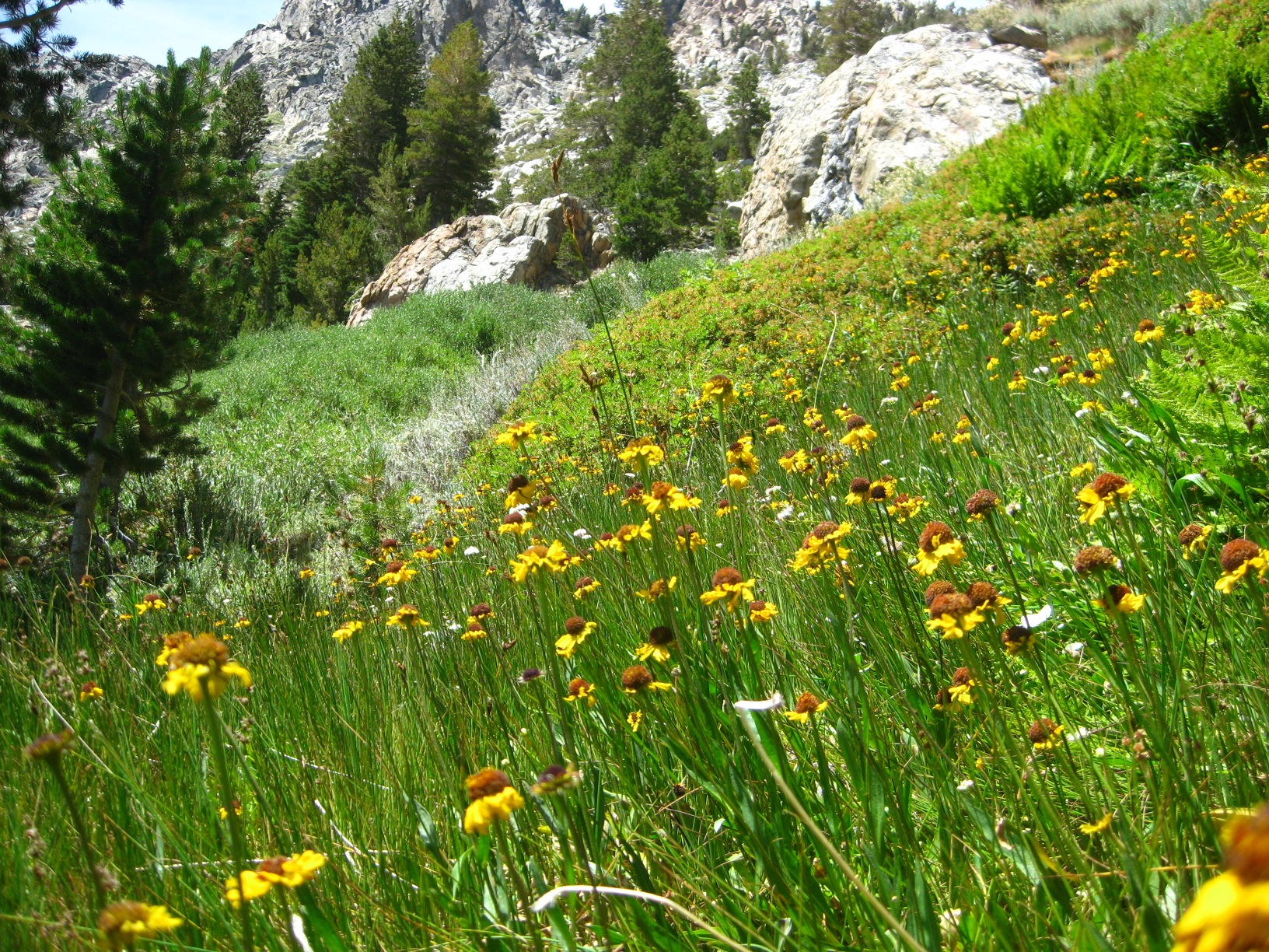
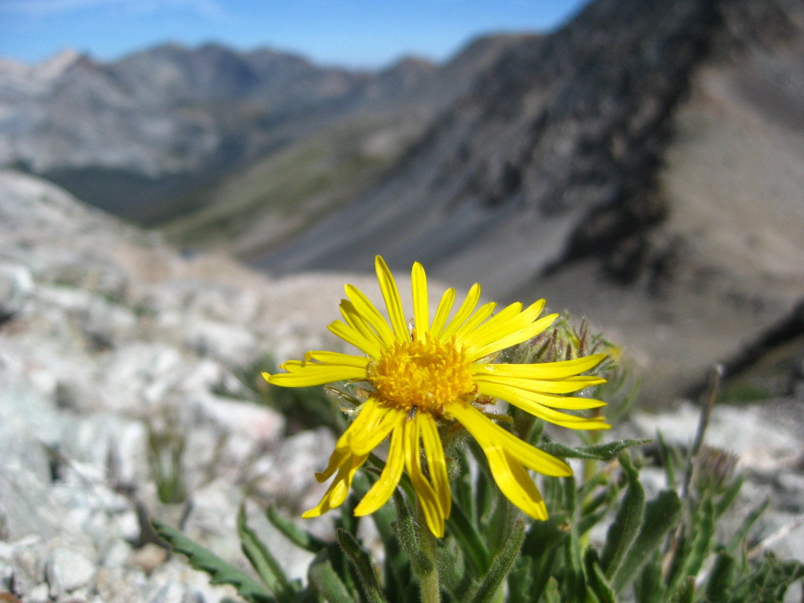
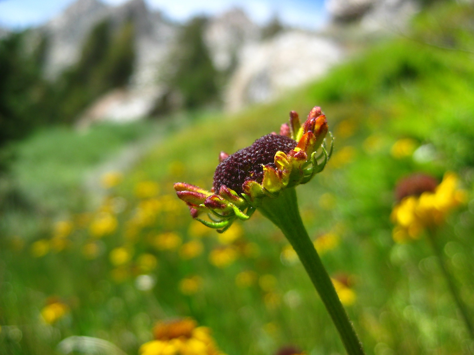
- Flower on Nancy Pass
-
- Minarets
-
- Minaret Lake
-
- Light Whisps during long exposure photography on the cliffs below Lake Catherine.
-
- After a swim in Cascade Lake
-
- Horse Creek Pass
-
- Sky Pilot Col
-
- Tarn above Gaylor Lakes
-
- Brown Bear Lake
-
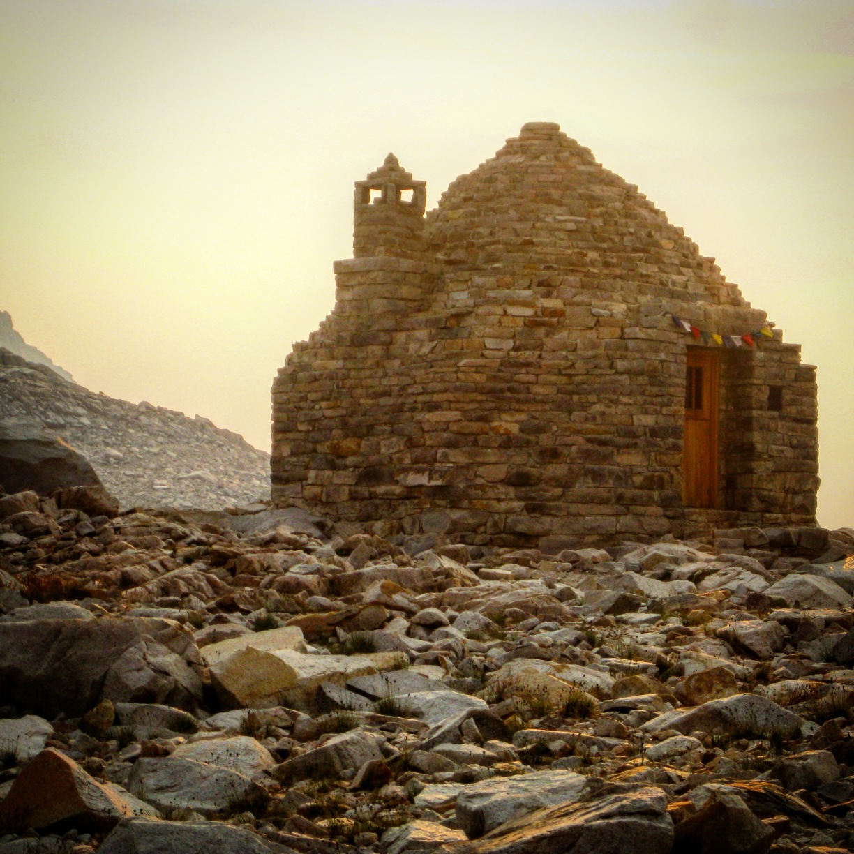
- Muir Trail Hut
-
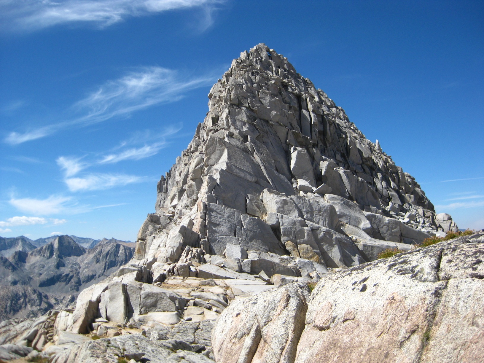
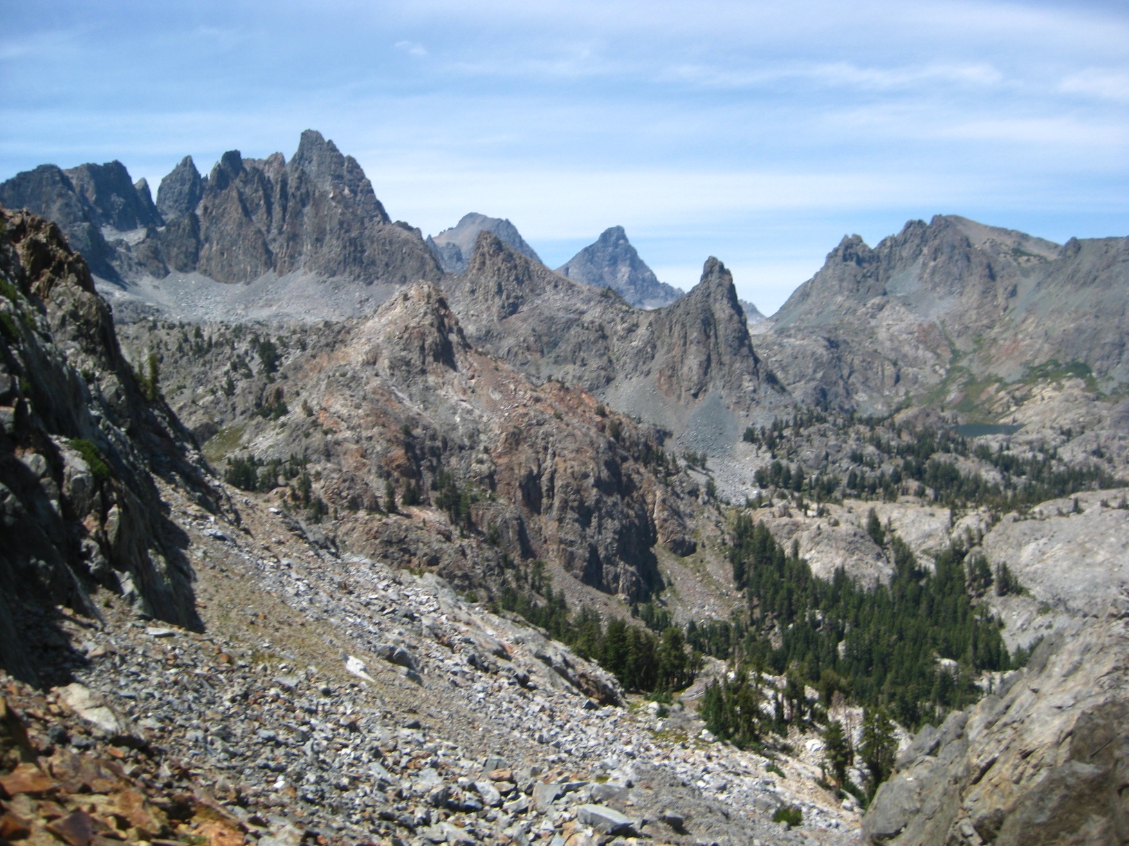
- Spire near Vennacher Needle
-
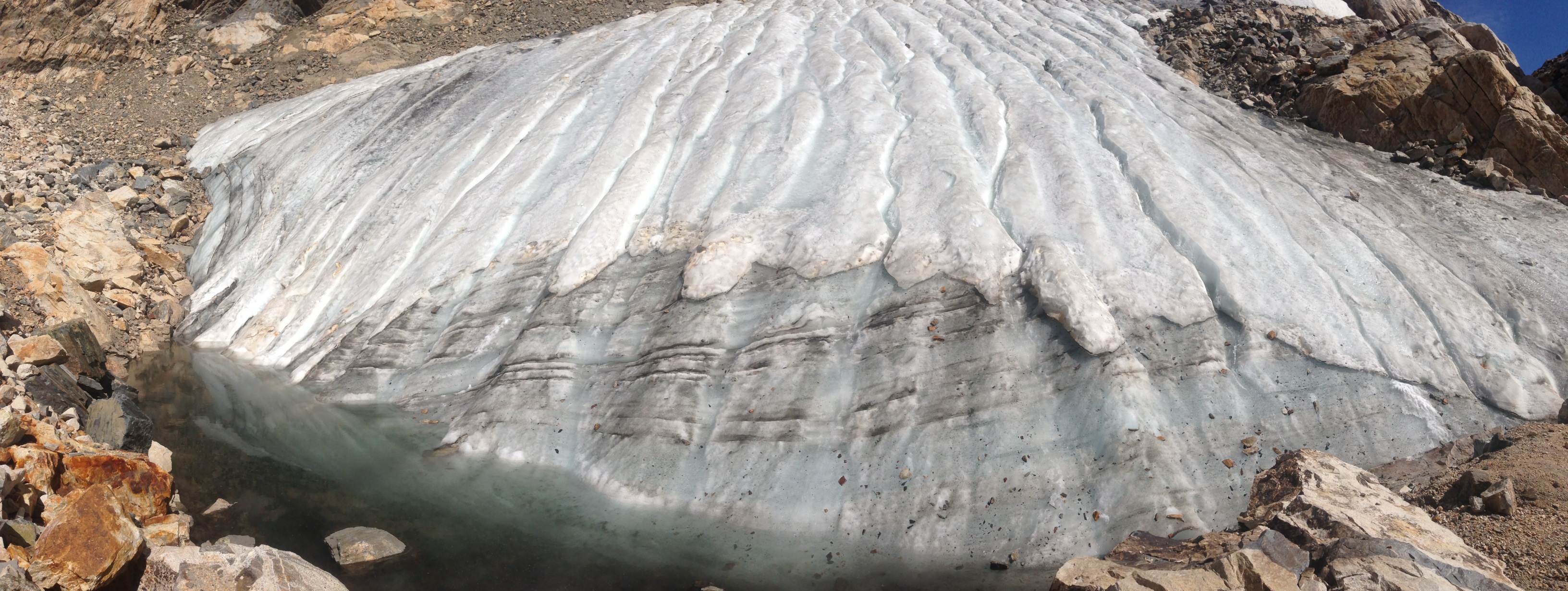
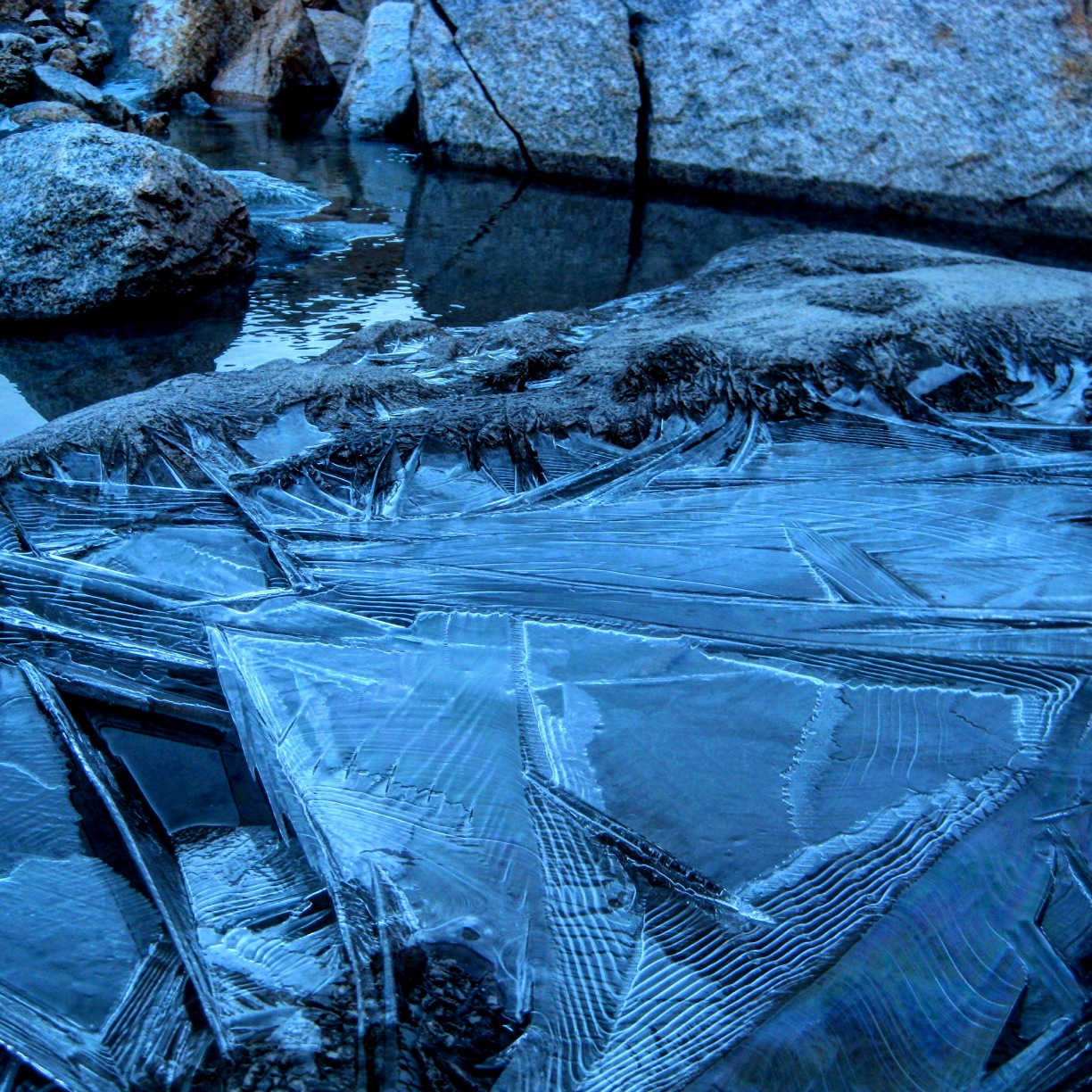
- Gabbot Pass Ice
-
- Big Bear Lake
The GPS route of the Sierra High Route never came up. Have you removed it now from the web page? We’re heading out to do the SHR at the end of July and would love to see your actual route. We’ve read Roper & have Skurka’s waypoints, but would still enjoy see your map. Thanks.
Hi Ray – Thanks for notifying me about this. I hope that you have a good trip in July. After you wrote me, I did hesitate to bring it back up. I had not taken it down, but rather a change from http to https caused a blocking of my maps that I’ve had to fix one by one. The reason I hesitated is because a really big part of the adventure is following Roper’s guidance old-school. Following a GPS track is a modern technique, and has its place – but Roper’s intention was for there to NOT be a map. I hope that people only look at it for enjoyment, and do not utilize it to follow on a GPS device… The choice of how to execute your adventure is left up to the individual, but it is my belief that it is more satisfying to use Roper’s cues entirely in lieu of the GPS track.