Yosemite Loop – Snow Creek to North Dome to Yosemite Point and Upper Yosemite Falls
This route is largely just about Half Dome and the views of the valley below. It’s a relatively short route, but scenic enough to hold your interest for a day or two. We took 3 days to cover the 26 mile journey, which afforded some time for catch and release fly fishing and bonus routes to North Dome, Yosemite Point, etc. It can be performed as a point-to-point like we did (we easily hitch hiked to retrieve the cars), or it can be made into a loop by taking portions of Tioga Road and Old Tioga Road (which will get you off the busy road. If you’re going to do it as a Point to Point, you can plan ahead by taking the shuttle bus. This route does not feel like a true back country adventure, but it should be satisfactory for people seeking easy trails and a great campsite with views of Half Dome. One advantage to this route in the high season is that it is easier to get permits for this trailhead.

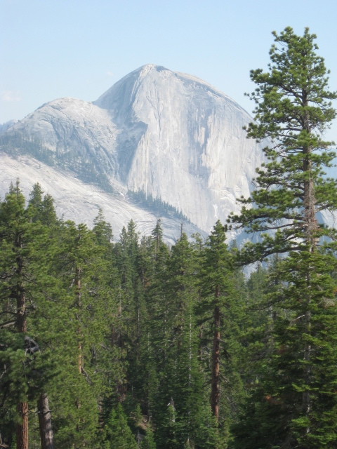
I’ve seen Half Dome photographed from many angles – but one you don’t often see is from the plateau above Snow Creek Falls. There is a great camping spot on this plateau where you can look at Half Dome all night long.

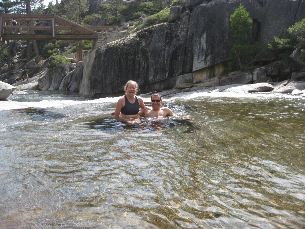
In the water up above Upper Yosemite Falls. It is not recommended to immerse yourself in the water near the falls, but we were several hundred feet above the falls in (relatively) calm water.

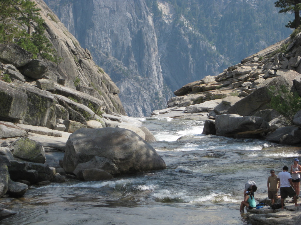
The precipice above Upper Yosemite Falls. Another great view point is from Lost Arrow and Yosemite Point.
This is the map for the entire route discussed in this post. To Export GPX files, click on the three horizontal bars in the upper right hand corner of the map and select Export selected map data…
To see full screen, click here (opens in new window)


